ノインフォルンのおすすめウォーキング&ハイキングルート
4.6
(2655)
11,544
ハイカー
13
ハイキング
ノインフォルン周辺でのハイキングは、景色を満喫するのに最適な手段のひとつですが、適切なハイキングルートを見つけることは簡単ではありません。 ノインフォルン周辺の人気ハイキング&ウォーキングコースを参考にすれば、行きたいルートをすぐに見つけられます。
最終更新日: 10月 18, 2026
4.4
(20)
108
ハイカー
8.62km
02:12
30m
30m
中程度のハイキング. ある程度のフィットネスレベルが必要です。 進みやすいルートです。あらゆるスキルレベルに適しています。
5.0
(3)
30
ハイカー
初級者向けハイキング. あらゆるフィットネスレベルに適しています。 進みやすいルートです。あらゆるスキルレベルに適しています。

4.5
(2)
13
ハイカー
6.51km
01:43
60m
60m
初級者向けハイキング. あらゆるフィットネスレベルに適しています。 進みやすいルートです。あらゆるスキルレベルに適しています。
4.4
(7)
36
ハイカー
9.20km
02:19
10m
10m
中程度のハイキング. ある程度のフィットネスレベルが必要です。 進みやすいルートです。あらゆるスキルレベルに適しています。
5.0
(1)
9
ハイカー
6.03km
01:31
10m
10m
初級者向けハイキング. あらゆるフィットネスレベルに適しています。 進みやすいルートです。あらゆるスキルレベルに適しています。
さらに多くのルートや他のユーザーのおすすめ情報を確認できます。
すでにアカウントをお持ちですか?
おすすめのツアーは他のkomootユーザーが実際に経験した何千ものアクティビティに基づいています。
無料アカウントで今日から始めよう
次の冒険が待っています。
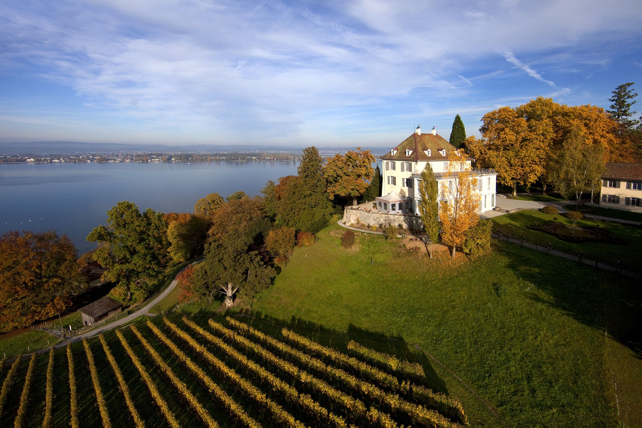
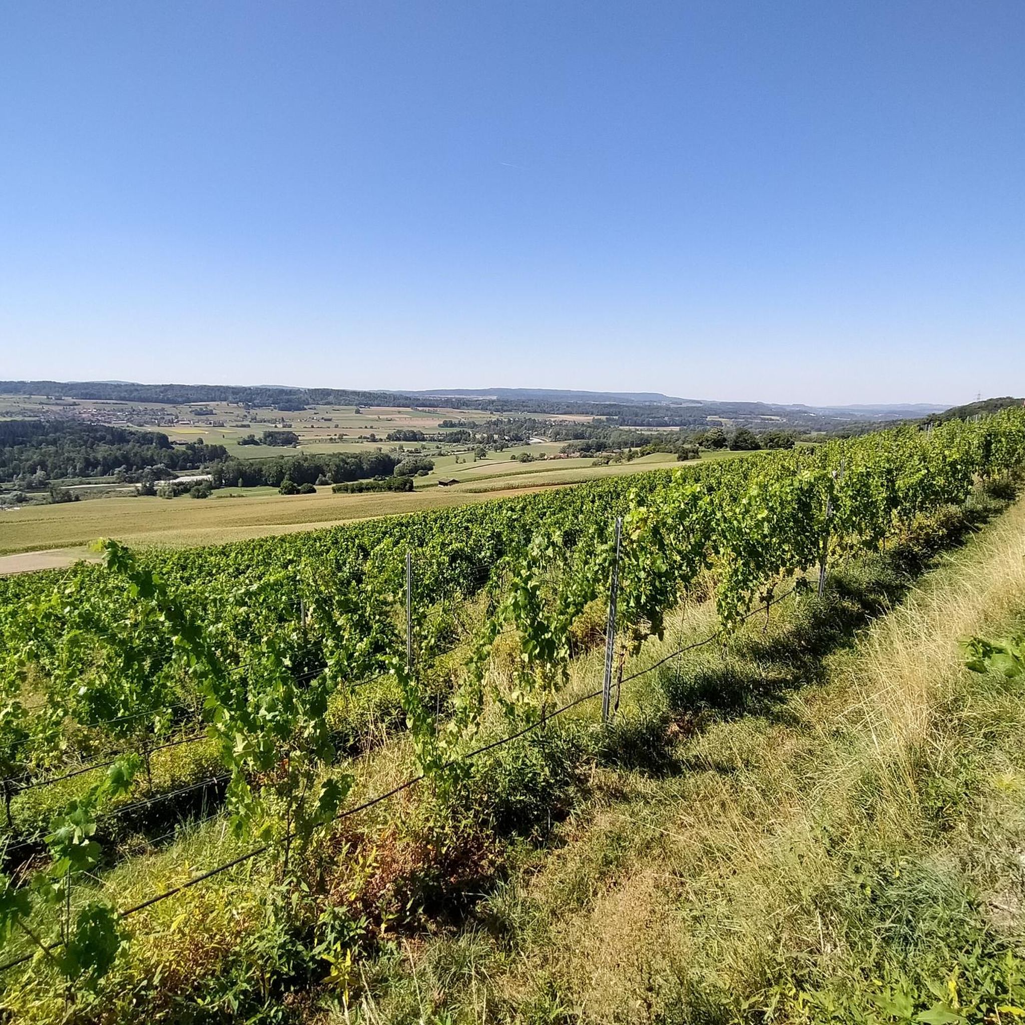
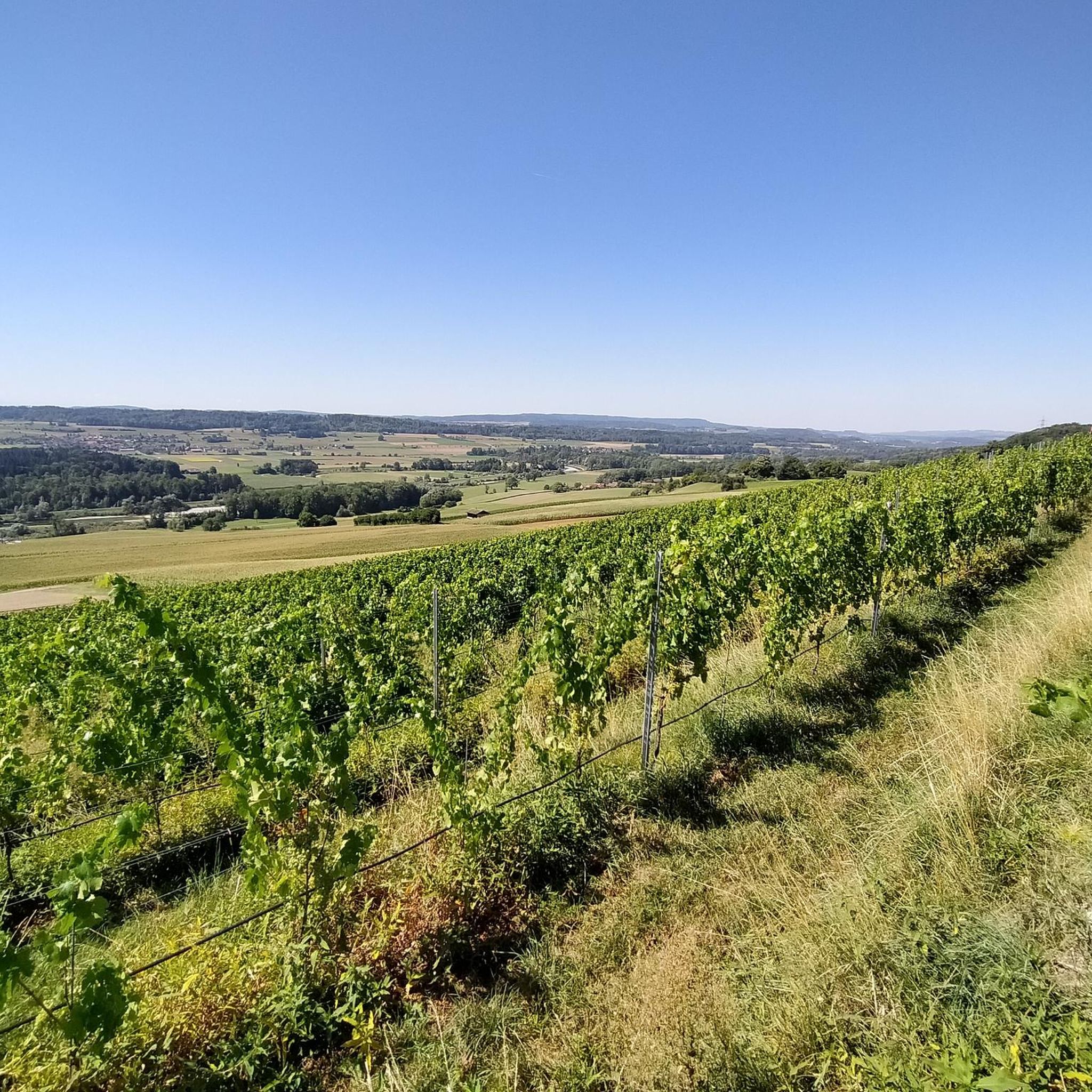
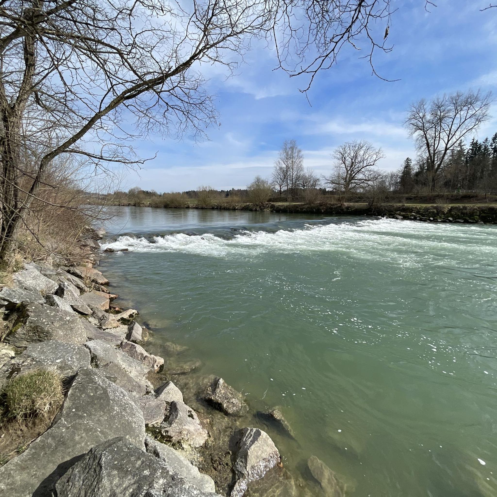

コミュニティからのヒント


Nice tour for gravel bikers. Only the last part near Andelfingen wasn't good.
0
1

Site directly on the Thur. Direct river access.
0
0

Together with the Feldisteg and the Altiker Bridge, this results in a very nice, flat "three bridge tour" on the Thurdamm.
3
0

The Barchetsee is a small lake in the Thurgau municipality of Neunforn. It is located near the border with the canton of Zurich at 464 meters above sea level. The lake is almost completely overgrown with reeds and bushes and is a nature reserve. Various species of fish live in the little lake, including extremely large carp. However, fishing is not allowed. In the Neunforner Weiher there are so-called floating islands - peat chunks overgrown with bushes. They wander around the lake and are in a new place every day. There is a large sunbathing lawn on the shore of the lake and there is a fireplace where you can have a barbecue.
2
0

The lake is particularly recommended in autumn. The colors shine and there are hardly any people who want to bathe here. Then you can sit down comfortably and in peace on the jetty, watch the floating islands and, with a bit of luck, the wild goose pair.
3
1
A beautiful piece of nature! A pond with water lilies and 3 mini islands. The islands can all be reached via small footbridges. The largest has a tree, a fire pit, and seating.
3
0


komootモバイルアプリでインスピレーションを得よう


さらに探索
他の地域の最高のハイキングを見てみましょう。
