ノイホーフェンアンデアクレムスのおすすめツーリングルート
4.5
(215)
1,557
ライダー
71
ライド
ノイホーフェンアンデアクレムスでおすすめのサイクリングルートをお探しですか?行きたいルートを簡単に決められるように、このページではノイホーフェンアンデアクレムス周辺の人気バイクライドをご紹介します。 ぜひ、お気に入りのルートを見つけてください。
最終更新日: 10月 7, 2026
4.7
(38)
206
ライダー
72.9km
04:24
320m
320m
中程度の自転車ライド. ある程度のフィットネスレベルが必要です。 全般的に舗装された状態です。あらゆるスキルレベルに適しています。
4.3
(29)
189
ライダー
26.3km
01:30
100m
100m
初級者向けバイクライド. あらゆるフィットネスレベルに適しています。 全般的に舗装された状態です。あらゆるスキルレベルに適しています。

4.6
(31)
125
ライダー
46.2km
02:47
280m
280m
中程度の自転車ライド. ある程度のフィットネスレベルが必要です。 全般的に舗装された状態です。あらゆるスキルレベルに適しています。
4.0
(5)
122
ライダー
40.3km
02:24
140m
140m
中程度の自転車ライド. ある程度のフィットネスレベルが必要です。 全般的に舗装された状態です。あらゆるスキルレベルに適しています。
4.5
(14)
92
ライダー
43.4km
02:32
100m
100m
中程度の自転車ライド. ある程度のフィットネスレベルが必要です。 全般的に舗装された状態です。あらゆるスキルレベルに適しています。
さらに多くのルートや他のユーザーのおすすめ情報を確認できます。
すでにアカウントをお持ちですか?
おすすめのツアーは他のkomootユーザーが実際に経験した何千ものアクティビティに基づいています。
無料アカウントで今日から始めよう
次の冒険が待っています。

コミュニティからのヒント


The Sulzbach flows into the Krems River near Halbarting. This point is located directly on the Krems Valley Cycle Path (R10), which runs from Neuhofen an der Krems to the Traun River and offers numerous scenic stretches. The cycle path offers particularly beautiful views of the estuary. The Sulzbach itself is an approximately 20-kilometer-long right tributary of the Krems River, with its source south of Nussbach at approximately 605 meters above sea level. It flows through the communities of Adlwang, Pfarrkirchen near Bad Hall, and Rohr im Kremstal before flowing into the Krems River near Halbarting. Overall, the confluence of the Sulzbach and the Krems River represents both a scenically attractive spot for cyclists and an ecologically important body of water.
0
0


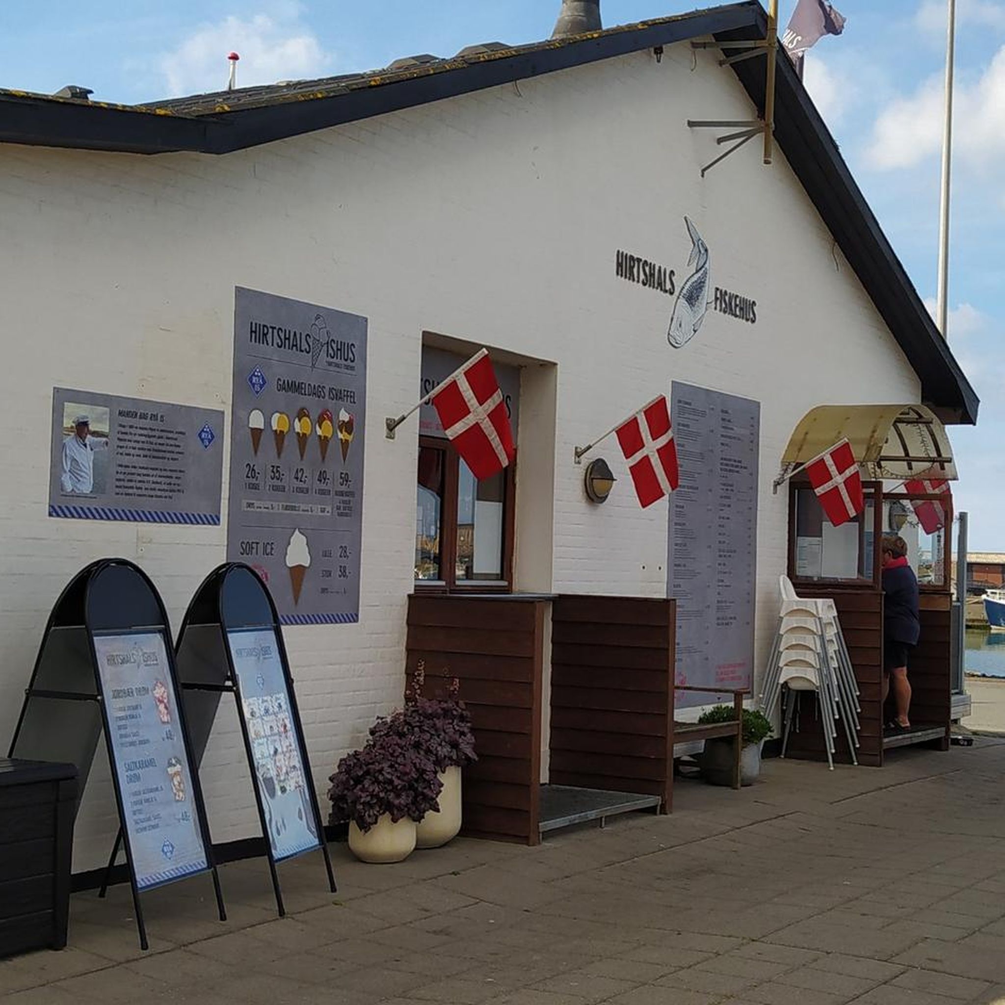
Super bakery with refreshment stop
0
1


Unfortunately, the position on Komoot is incorrect. The castle is located a good 6 km away near Rohr an der Krems, not on Linzer Straße next to Hall Castle in Bad Hall. Please correct this position, as otherwise the planning will be based on incorrect assumptions. The correct position would be 48.074749, 14.180378.
0
1
Caritas Senior Citizens' Home, Hall Castle The castle was originally a "liberated aristocratic residence" in 1644, originating from a bourgeois house. Hall was owned by the Trautmannsorfs until 1848, then by bourgeois owners. In 1941, the building was acquired by the Diocesan Caritas Association and converted into a retirement home. During World War II, it housed South Tyrolean resettlers; in 1944, the Linz Children's Hospital was housed here. In 1948, it was returned to Caritas, and since 1949, a Caritas retirement home has operated here. The building is two-story and has a tin-roofed mansard tower. The masonry is structured with plasterwork and has diamond-shaped ashlars at the corners.
0
1
ノイホーフェンアンデアクレムスでのの人気ルート
ノイホーフェンアンデアクレムスでのの人気観光スポット

komootモバイルアプリでインスピレーションを得よう


さらに探索
他の地域の最高のサイクリングルートを見てみましょう。
