ミッション範囲のおすすめウォーキング&ハイキングルート
4.9
(25)
983
ハイカー
76
ハイキング
ミッション範囲でのハイキングに出かけて、ミズーラ郡のこのエリアを探索してみませんか?このガイドでご紹介するのは、komootがミッション範囲でのハイキング・ウォーキングルートのコレクション全体を評価して選び抜いた、このエリアの人気ハイキングルートです。あなたに合った でのハイキングを見つけるには、他のユーザーがアップロードした役立つ情報や写真を閲覧し、各ルートに関するみんなの意見やコメントを参考にしましょう。
最終更新日: 8月 31, 2026
18
ハイカー
12.8km
04:58
1,110m
590m
難しいハイキング. 標準以上のフィットネスレベルが必要です。 進みやすいルートです。あらゆるスキルレベルに適しています。
6
ハイカー
9.75km
03:06
600m
120m
中程度のハイキング. ある程度のフィットネスレベルが必要です。 進みやすいルートです。あらゆるスキルレベルに適しています。

無料新規登録
8
ハイカー
8.88km
02:35
250m
240m
中程度のハイキング. ある程度のフィットネスレベルが必要です。 進みやすいルートです。あらゆるスキルレベルに適しています。
3
ハイカー
3.32km
00:51
0m
30m
初級者向けハイキング. あらゆるフィットネスレベルに適しています。 進みやすいルートです。あらゆるスキルレベルに適しています。
2
ハイカー
2.66km
00:47
120m
0m
初級者向けハイキング. あらゆるフィットネスレベルに適しています。 進みやすいルートです。あらゆるスキルレベルに適しています。
3
ハイカー
4.33km
01:09
30m
60m
初級者向けハイキング. あらゆるフィットネスレベルに適しています。 進みやすいルートです。あらゆるスキルレベルに適しています。
1
ハイカー
14.4km
04:14
420m
420m
中程度のハイキング. ある程度のフィットネスレベルが必要です。 進みやすいルートです。あらゆるスキルレベルに適しています。
15.0km
05:10
1,300m
0m
難しいハイキング. 標準以上のフィットネスレベルが必要です。 進みやすいルートです。あらゆるスキルレベルに適しています。
3.64km
00:56
20m
10m
初級者向けハイキング. あらゆるフィットネスレベルに適しています。 進みやすいルートです。あらゆるスキルレベルに適しています。
2.89km
00:44
10m
0m
初級者向けハイキング. あらゆるフィットネスレベルに適しています。 進みやすいルートです。あらゆるスキルレベルに適しています。
さらに多くのルートや他のユーザーのおすすめ情報を確認できます。
無料新規登録
すでにアカウントをお持ちですか?
おすすめのツアーは他のkomootユーザーが実際に経験した何千ものアクティビティに基づいています。
無料アカウントで今日から始めよう
次の冒険が待っています。
ログインまたは登録

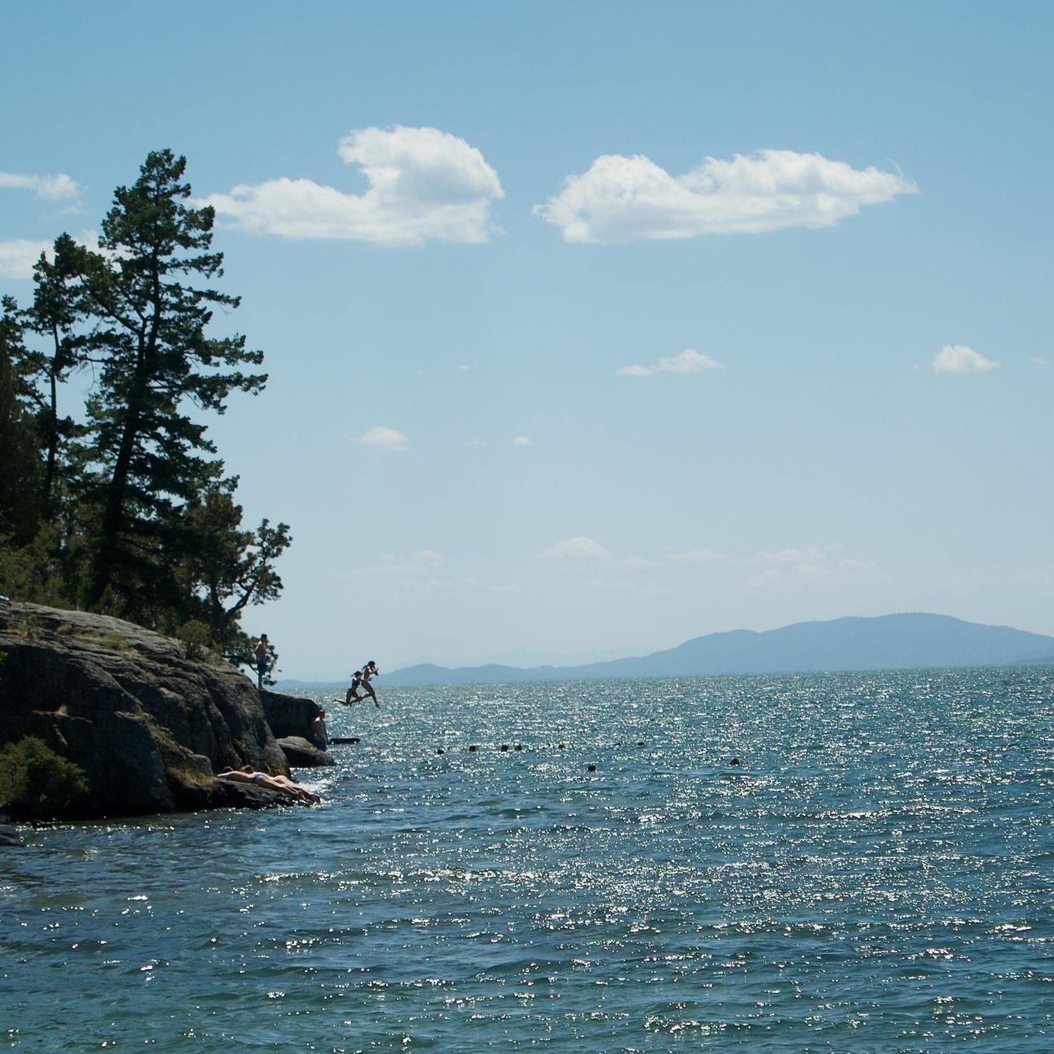
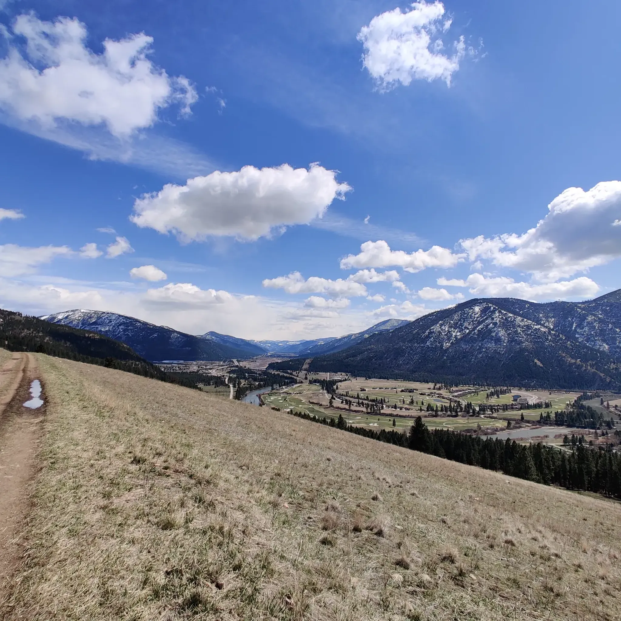
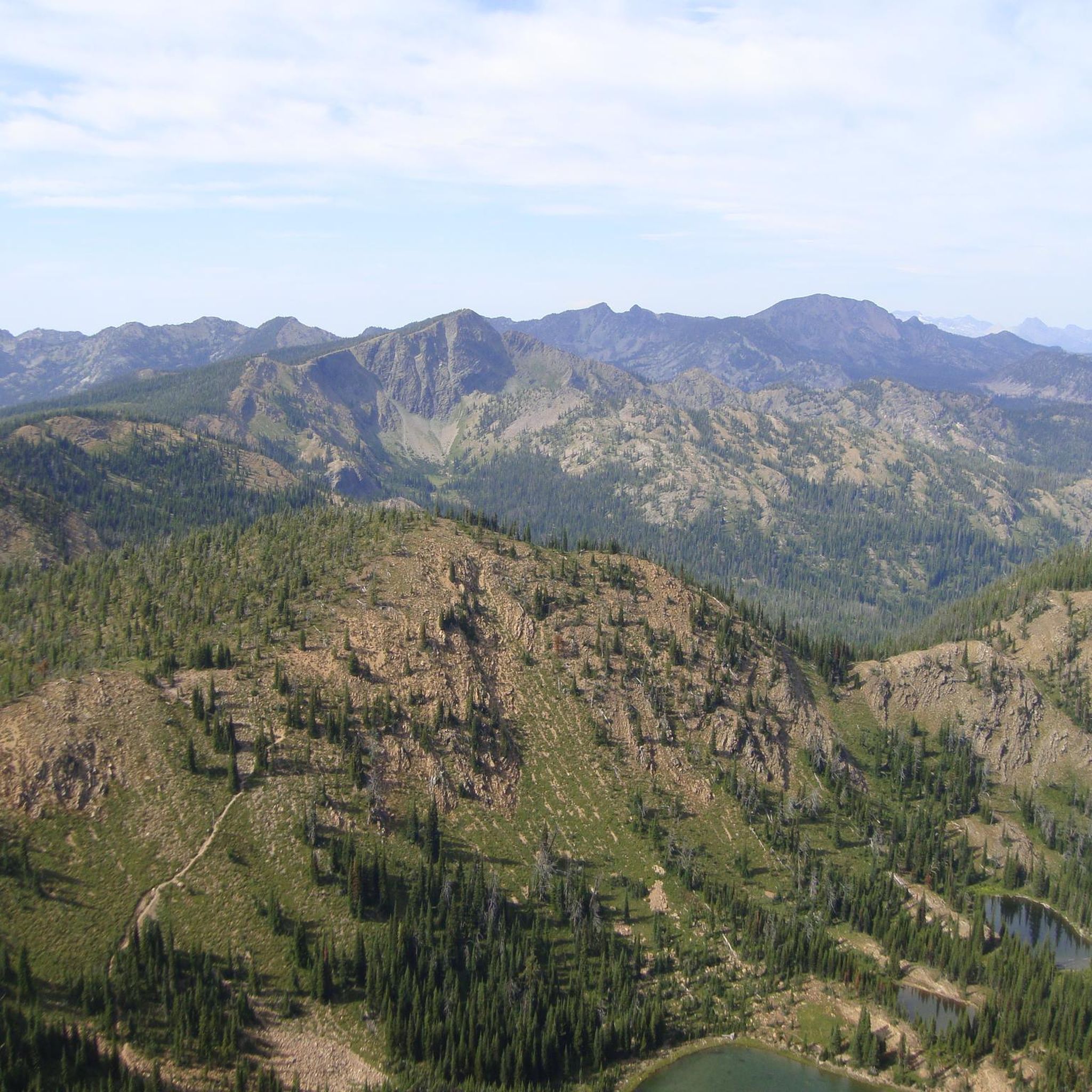
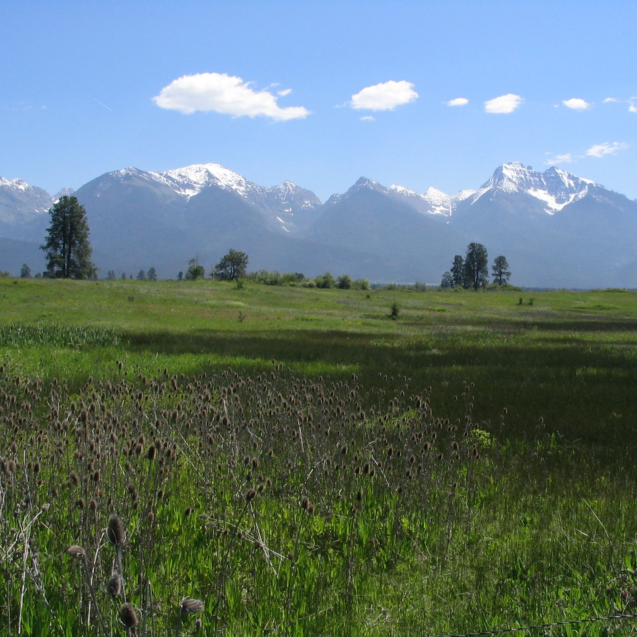
ミッション範囲でのの他の冒険

コミュニティからのヒント

Jacob's Island is a dog park on the banks of Clark Fork River. The park is 6-acres and the river works as a beautiful natural barrier for the dogs. It also offers a series of paved and unpaved trails, benches, picnic tables and dog-waste bags.
0
0

Glacier Lake is a picturesque alpine lake along the Glacier Creek Trail. The lake is approximately 3.3 miles from the trailhead near Condon, Montana. It is often passed by hikers heading up to Turquoise Lake or Heart Lake, but it is a very nice destination in its own right; its clear waters ringed by trees and rocky peaks make it a great spot to relax and enjoy the views.
1
0
Jacob's Island is a dog park on the banks of Clark Fork River. The park is 6 acres and the river works as a beautiful natural barrier for the dogs. It also offers a series of paved and unpaved trails, benches, picnic tables and dog-waste bags.
0
0

McCormic Park marks the western terminus of the Kim Williams Trail and the eastern terminus of the Milwaukee Trail. The park has some playing fields, open space, picnic areas, and is nestled up right next to the river.
0
0

This is a jumping off point for a lot of trails. There's a couple of easy options through the valley and some others that climb up the ridgelines and lead to some great views.
0
0

The "M" on the west face of Mount Sentinel has been a Missoula landmark since 1908, when Forestry Club members forged a zigzag trail up the mountain and students carried up stones to shape the symbol of the University of Montana. The "M" Trail is a very popular area for hiking and running, so you'll likely encounter other people while exploring. Dogs are welcome, but must be on a leash. There are great views of Missoula and the entire valley from the trail, but should be noted that there is no shade, so try and get there early! Being that this trail can get crowded, there are two alternative trails back down the mountain, one in the north towards the tree-line, and a slightly longer detour trail in the south if you continue on Evan's Trail.
0
0
This stretch of riding has incredible views looking down the valley over the bend in the river. There's no doubt you're in Montana here.
0
0
This is a jumping off point for a lot of trails. There's a couple of easy options that roll through the valley and some others that climb up the ridgelines and lead to some great descents.
1
0
ミッション範囲でのの人気観光スポット

komootモバイルアプリでインスピレーションを得よう


さらに探索
他の地域の最高のハイキングを見てみましょう。
