メランのおすすめライド
4.6
(1341)
29,071
ライダー
16
ライド
メラン周辺のロードバイクルートをお探しですか?ここでは、komootが提供するメランでのロードバイクライドのコレクション全体を評価して選び抜いた人気ルートをご紹介します。各ライドの詳細をぜひご覧ください。
最終更新日: 10月 24, 2026
89
ライダー
94.5km
05:06
1,750m
1,750m
難しいロードライド. 標準以上のフィットネスレベルが必要です。 ツアーの一部に、未舗装のため走行が難しい箇所があるかもしれません。
5.0
(8)
69
ライダー
25.5km
01:08
220m
220m
初級者向けロードバイクライド. 全般的に舗装状態が良好で走行しやすい道です。

54
ライダー
40.5km
01:52
390m
390m
中程度のロードライド. ある程度のフィットネスレベルが必要です。 ツアーの一部に、未舗装のため走行が難しい箇所があるかもしれません。
57
ライダー
110km
05:07
1,110m
1,110m
難しいロードライド. 標準以上のフィットネスレベルが必要です。 ツアーの一部に、未舗装のため走行が難しい箇所があるかもしれません。
4.8
(6)
40
ライダー
31.6km
01:30
360m
360m
中程度のロードライド. ある程度のフィットネスレベルが必要です。 全般的に舗装状態が良好で走行しやすい道です。
さらに多くのルートや他のユーザーのおすすめ情報を確認できます。
すでにアカウントをお持ちですか?
おすすめのツアーは他のkomootユーザーが実際に経験した何千ものアクティビティに基づいています。


コミュニティからのヒント

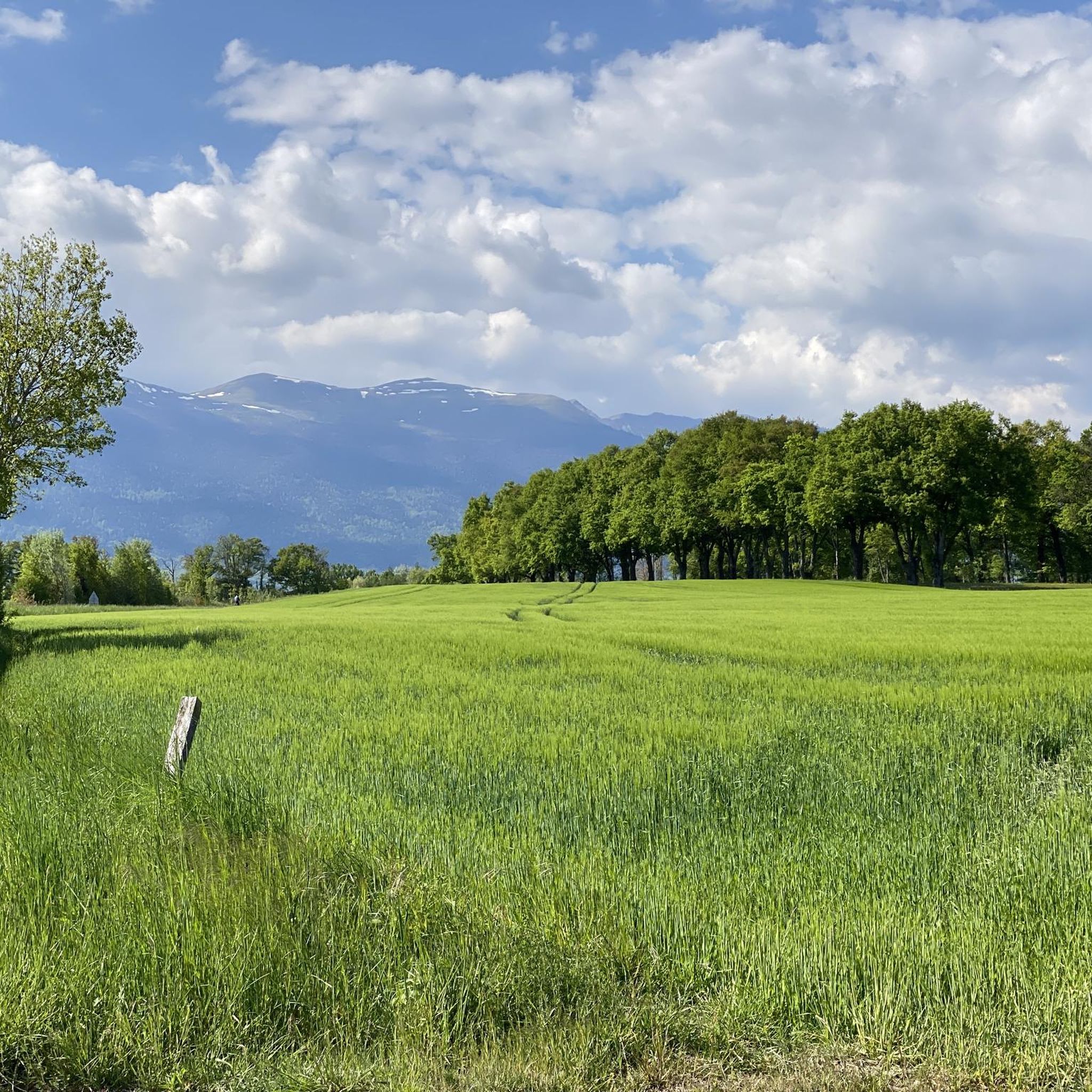
A sloping road that crosses the vineyard
0
0

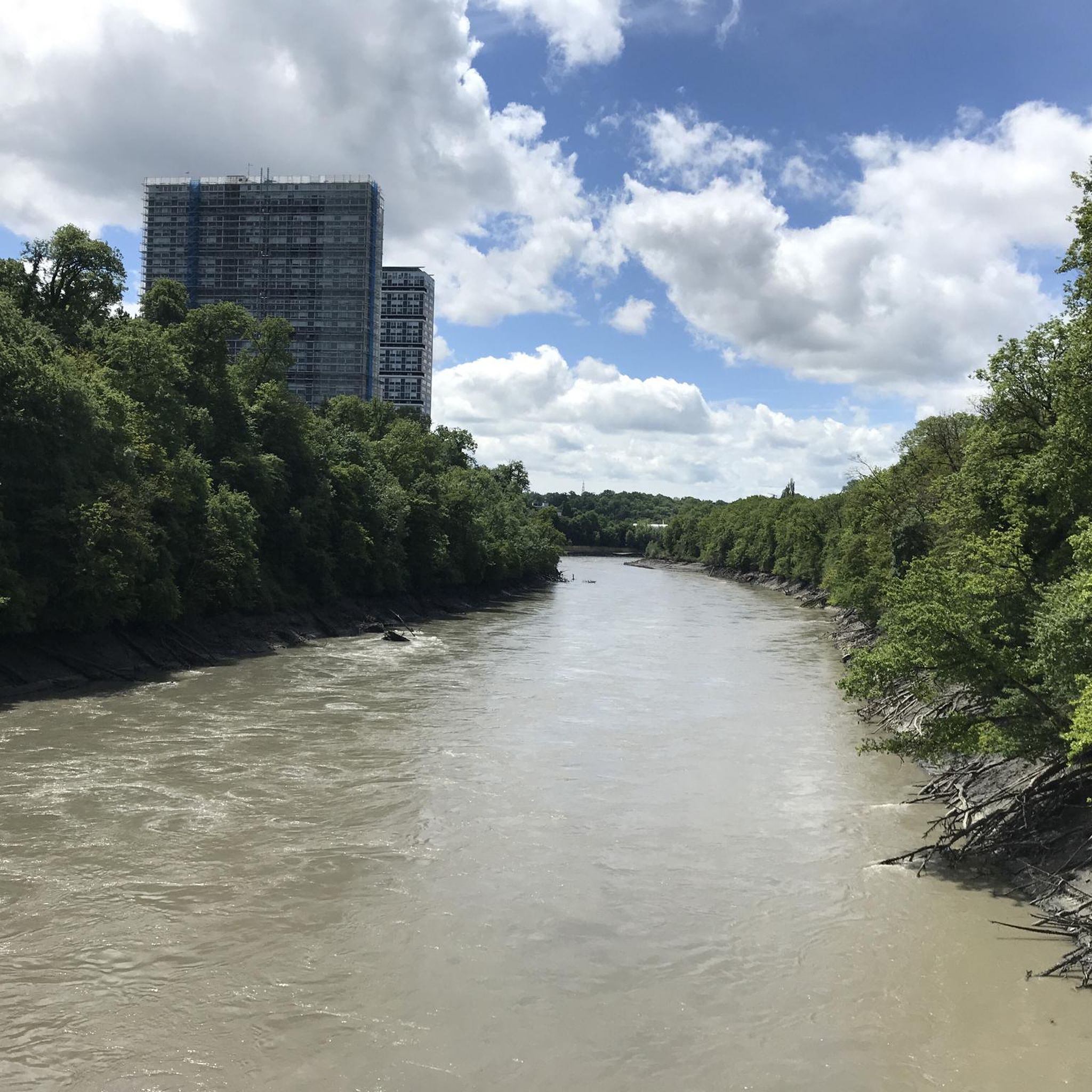
This bridge is also called the “Viaduc de Cartigny”, in reference to the village of Cartigny which is located on the right bank of the bridge.
0
0
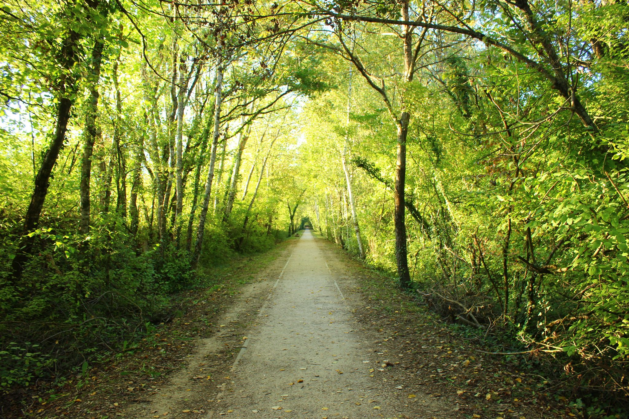
The old railway line from Collonges - Fort-l'Écluse to Divonne-les-Bains was sold in 1964, some of its old sections were transformed into green lines.
0
0
A road with views of the Jura, Geneva, Mont Blanc, and Salève, right in the heart of the Pays de Gex. I even happened to spot deer at the edge of the woods.
0
0


The village of Saint-George is nestled in a typical Jura environment. Its name refers to the prince of Cappadocia who, according to legend, freed a city or a princess by defeating a dragon. The myth explains the presence of the creature on the village's coat of arms.
0
0
Perched at an altitude of 1,323 metres, the Col de la Faucille welcomes you with a 360-degree panorama of the Alps and the Valserine Valley. Whether you attack it from the north or the south, the spectacle is not long in coming. Its ascent from the south, on the road to Gex, has the appearance of a great Alpine pass with its many bends and countless views of the Mont-Blanc massif.
0
0
メランでのの人気観光スポット

komootモバイルアプリでインスピレーションを得よう


さらに探索
他の地域の最高のロードサイクリングルートを見てみましょう。
