クース郡周辺のおすすめファミリーハイキング&ウォーキング
4.6
(338)
7,048
ハイカー
80
ハイキング
ファミリー向けのハイキングコースがあるコース郡は、荒々しい太平洋岸の海食柱やタイドプールから、広大な砂丘、そして鬱蒼とした森林まで、多様な景観を特徴としています。この地域は、コース湾やサウススルーを含む重要な河口環境に恵まれ、ユニークな湿地の探検が楽しめます。内陸部では、針葉樹林や原生林の中をトレイルが走り、しばしば印象的な滝が現れます。この変化に富んだ地形は、ハイカーに様々な体験を提供します。
コース郡で最高のファミリー向けハイキングコース
- 最も人気のあるファミリー向けハイキングコースは、ショア・エイカーズ・ループ・トレイルです。このコースは2.5マイル(4.0km)で、所要時間は1時間15分、海岸の景色と庭園の小道を楽しめます。
- 地元のハイカーに人気のもう一つのコースは、ゴールデン&シルバーフォールズ・トレイルです。原生林の中にある2つの印象的な滝へと続く、1.5マイル(2.4km)のイージートレイルです。
- 地元ハイカーに愛されているのは、サウススルー・ボードウォークです。河口の湿地帯を抜ける1.0マイル(1.6km)のトレイルで、所要時間は約45分です。
- コース郡でのハイキングは、ドラマチックな海岸線、広大な砂丘、そして緑豊かな森林が特徴で、様々なレベルのハイカーに対応するルートネットワークがあり、ファミリー向けのパスも多数含まれています。
- コース郡のルートは、300件以上のレビューから平均4.6つ星という高評価をkomootコミュニティから受けています。6,000人以上のハイカーがkomootを利用して、コース郡の多様な地形を探索しています。
最終更新日: 10月 24, 2026
5.0
(5)
127
ハイカー
6.46km
03:22
1,280m
0m
Prepare for a difficult hike up Mount Washington via the Tuckerman Ravine Trail, a challenging ascent covering 4.0 miles (6.5 km). You will gain a significant 4202 feet (1281 metres)…
4.5
(2)
90
ハイカー
12.5km
05:54
940m
650m
Embark on the challenging Mount Tom, Field, Willey, and Avalon Loop, a difficult 7.8 miles (12.5 km) hike that typically takes 5 hours and 54 minutes. You will ascend a…

4.5
(2)
52
ハイカー
16.4km
07:01
1,430m
1,430m
Embark on the Mount Washington via Lion Head and Boott Spur Loop for a truly challenging hiking experience, covering 10.2 miles (16.4 km) with a substantial elevation gain of 4677…
4.0
(1)
52
ハイカー
15.7km
06:35
1,300m
1,300m
Embark on the difficult Mount Washington Loop via Tuckerman Ravine and Boott Spur Trail, a challenging hike covering 9.8 miles (15.7 km) with an elevation gain of 4275 feet (1303…
4.3
(3)
66
ハイカー
20.3km
07:53
970m
1,090m
Embark on the challenging Mount Pierce, Jackson, and Webster Loop, a difficult hike spanning 12.6 miles (20.3 km) with a significant 3170 feet (966 metres) of elevation gain. This route…
さらに多くのルートや他のユーザーのおすすめ情報を確認できます。
すでにアカウントをお持ちですか?
おすすめのツアーは他のkomootユーザーが実際に経験した何千ものアクティビティに基づいています。
無料アカウントで今日から始めよう
次の冒険が待っています。
クース郡周辺で人気

Presidential Range-Dry River Wildernessのファミリーハイキング
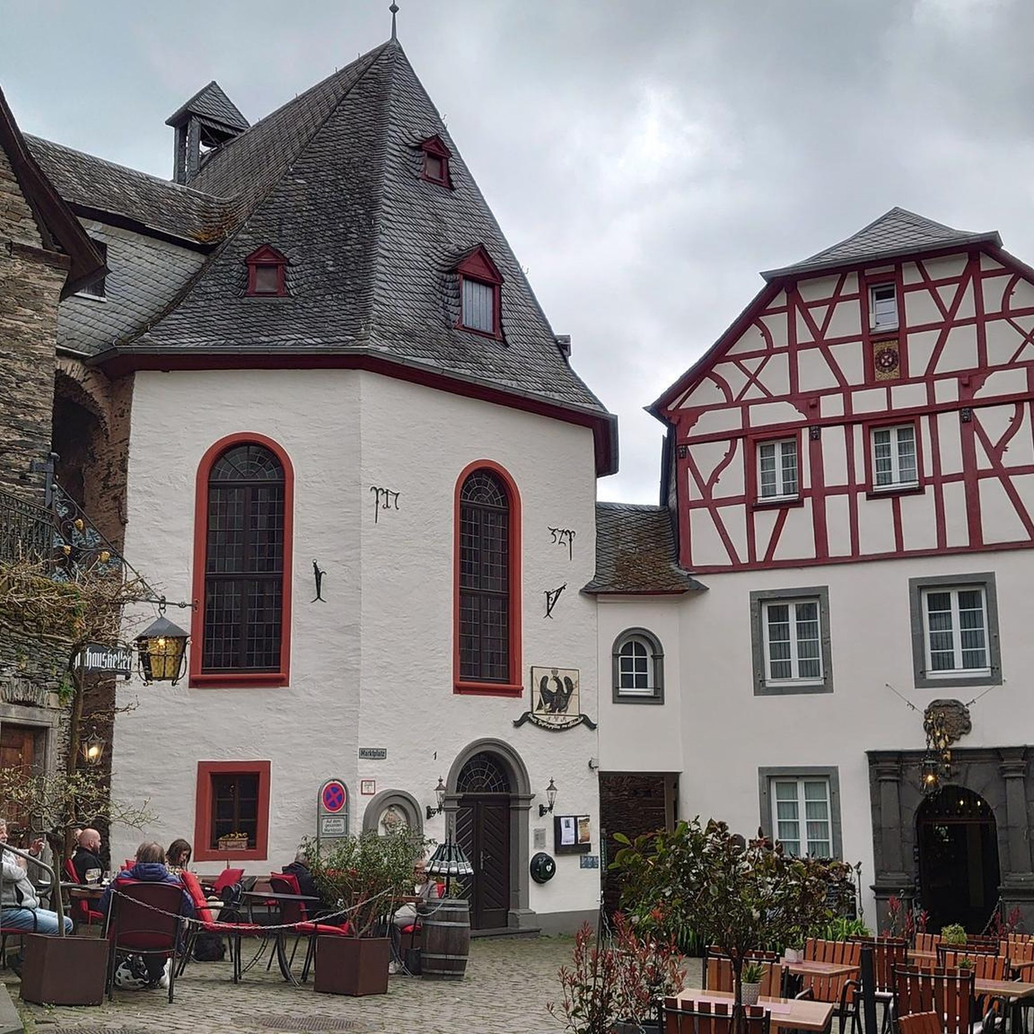
Great Gulf Wildernessのファミリーハイキング

Wild River Wildernessのファミリーハイキング
Pondicherry Division Of The Silvio O. Conte National Fish And Wildlife Refugeのファミリーハイキング

Moose Brook State Parkのファミリーハイキング

Gorhamのファミリーハイキング
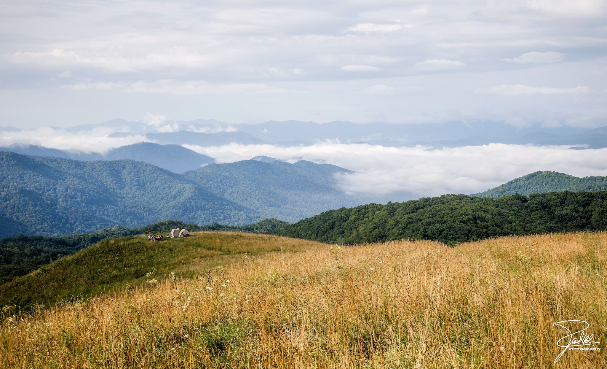
Appalachian Trail — アメリカで最も象徴的な長距離Hike
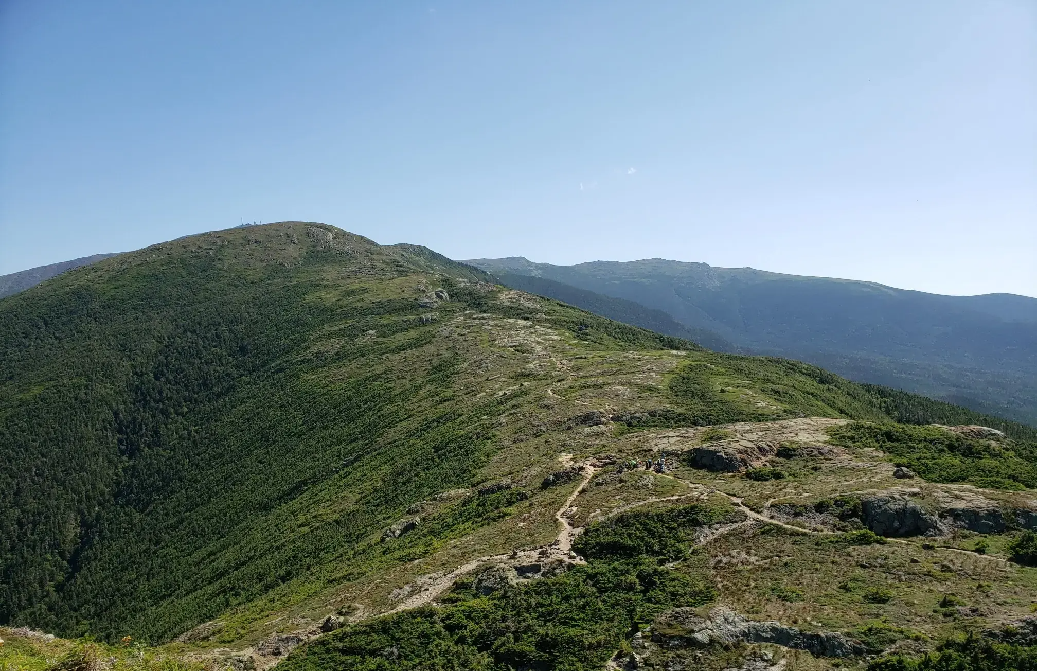
プレジデンシャル・トラバース — ニューハンプシャーの古典的なサンドバッグ
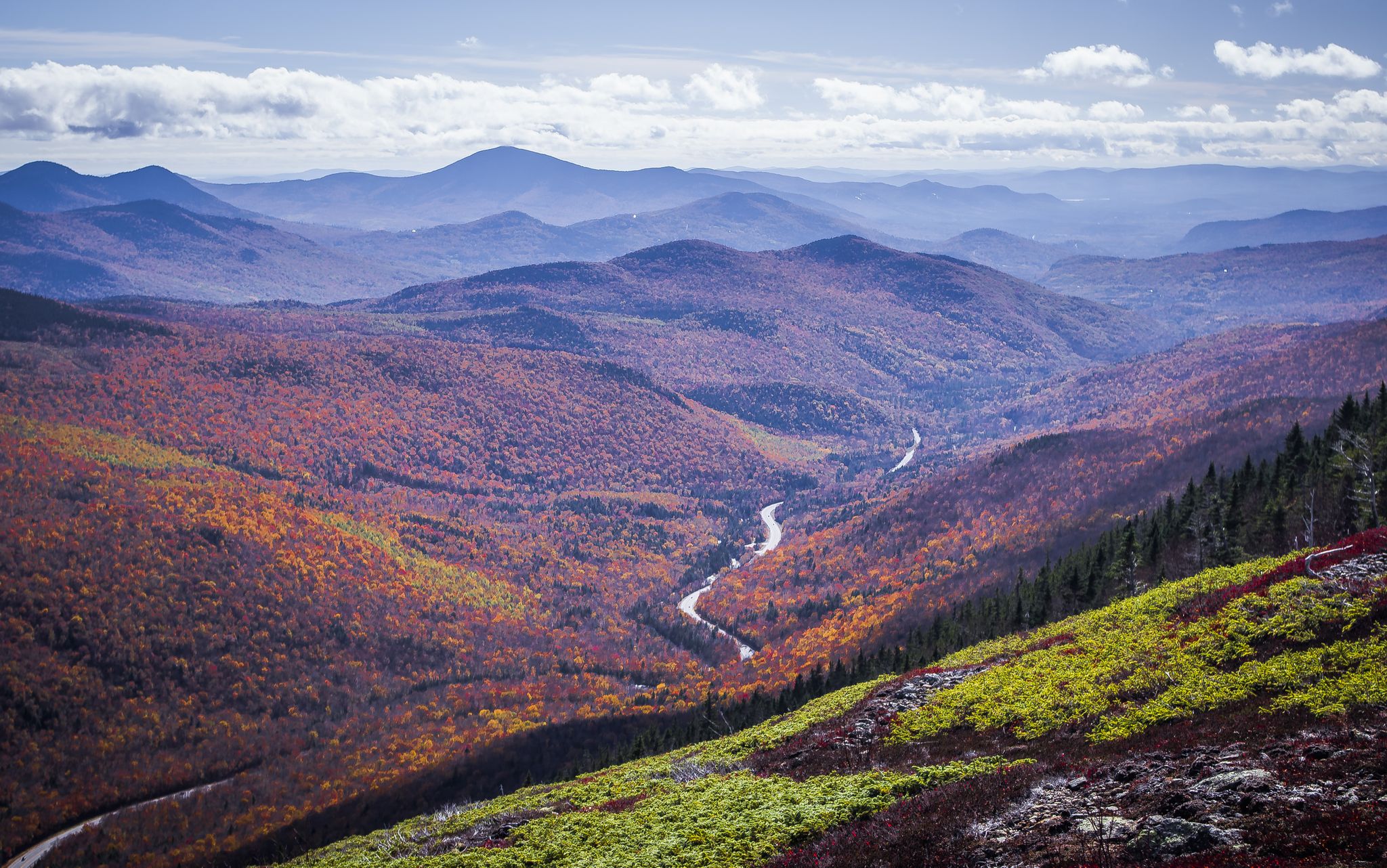
Cohos Trail — Exploring New Hampshire’s 北の森林地帯
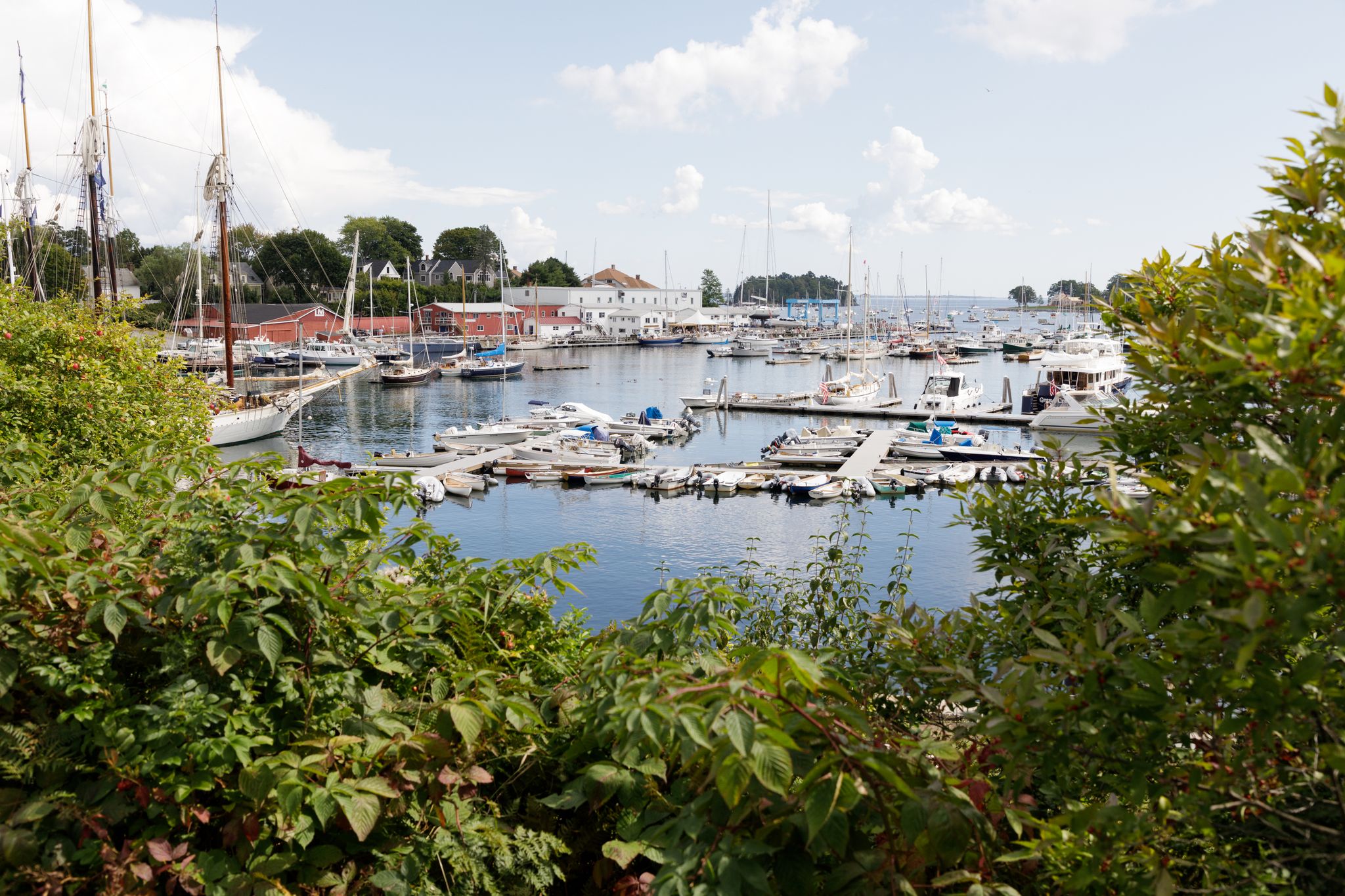
New England – vibrant cities, picturesque coastlines and wild mountain landscapes
クース郡の他の冒険


コミュニティからのヒント

Mount Pierce stands at 4,310 feet and is toward the southern end of the Presidential Range. From its summit, you get sweeping views north toward Mount Eisenhower and Mount Washington from a mix of alpine scrub and rocky ledges. Named after Franklin Pierce, the only U.S. president from New Hampshire, it’s a must stop if tagging all the peaks along on the Presidential Traverse, or those looking for a challenging day hike.
1
0
Lake of the Clouds Hut is the highest and one of the most iconic of the AMC’s backcountry huts. Perched at 5,012 feet between Mount Monroe and Mount Washington, it offers stunning alpine views, dramatic sunsets, and a front-row seat to the Presidential Range’s famously unpredictable weather. It's a great place to stop and refill water bottles or shelter from the weather on a day hike or an iconic (and popular!) place to spend the night. The hut is full-service during the summer and early fall, with bunk accommodations, family-style dinner and breakfast, potable water, and composting toilets. It sleeps over 90 hikers and is a popular overnight stop for those tackling the Presidential Traverse. Reservations are essential and fill quickly.
1
0

Nestled in the White Mountain National Forest, the Mizpah Spring Hut is a cozy stop for hikers exploring the Presidential Range. Offering bunk accommodations, hearty meals, and potable water, it’s a great place to rest and recharge while enjoying breathtaking views of the surrounding mountains. Whether you're tackling a challenging trail or looking for a serene overnight retreat, this Appalachian Mountain Club hut is a memorable part of any White Mountains adventure.
0
0

Washington is the most prominent mountain in the eastern U.S. and an absolutely incredible peak to bag. This is easily one of the best summits in New England. It is also the most dangerous if you come unprepared, especially in the winter. Washington creates its own rapidly changing weather system and is known for being the deadliest small mountain in the world. The second-fastest wind speed on earth was recorded here at over 230mph. That said, a quarter million people visit Washington every year, and if you come prepared and respect the mountain you have nothing to fear and are guaranteed to have an epic summit.
0
0

Dress warmly. Snow season begins July 1 and ends June 30. We were at 68 mph at the summit. Keeping your hat on is a good idea. Two days ago, when we were last up there, it was 73 degrees Fahrenheit and the wind was blowing lightly around 23 mph. Mt. Washington is the highest peak within 1,000 miles, making it an exposed location with what the US Weather Service calls the worst and most surprising weather in the world.
0
0


At a height of 6,288 feet in elevation, Mount Washington is the highest point in the range, state, and region. Some people drive to the summit, but there are a couple of days each year that you can bike the paved road to the top, which is a popular challenge for avid cyclists. A gravel bike can be handy since some of the road grades get so steep that you need that bigger cassette. The two events hosted each year for cyclists is the Mount Washington Auto Road Bicycle Hillclimb race each August and the Early Bird (which is just a solo ride for 150 riders) in July. There are places to refill your water, go to the restroom, lock up your bike, and even get a bike to eat if you need it at the top on race day. Note that all riders have to get a ride down the mountain and aren't allowed to bike down the road!
0
0
At a height of 6,288 feet in elevation, Mount Washington is the highest point in the range, state, and region. Some people drive to the summit, but there are a couple days each year that you can bike the paved road to the top, which is a popular challenge for avid cyclists. The two events hosted each year for cyclists is the Mount Washington Auto Road Bicycle Hillclimb race each August and the Early Bird (which is just a solo ride for 150 riders) in July. There are places to refill your water, go to the restroom, lock up your bike, and even get a bike to eat if you need it at the top on race day. Note that all riders have to get a ride down the mountain and aren't allowed to bike down the road!
0
0
よくある質問
クーズ郡には、家族向けのハイキングコースがいくつありますか?
クーズ郡では、家族向けのハイキングの機会が豊富にあります。当ガイドでは、簡単な散策からより適度な冒険まで、約90の厳選されたルートを紹介しており、あらゆる家族にぴったりのものが見つかります。
クーズ郡での家族向けハイキングでは、どのような地形が期待できますか?
クーズ郡の家族向けトレイルは、多様な景観を誇ります。ドラマチックな海の景色を望む海岸沿いの道、滝へと続く緑豊かな森のトレイル、ユニークな河口湿地帯、そして広大な砂丘まで、あらゆるものが期待できます。地形は、整備された道から砂地の区間、自然の森の地面まで様々です。
クーズ郡には、ベビーカーに適したトレイルはありますか?
クーズ郡の多くのトレイルは自然のままなので、すべてのベビーカーに適しているとは限りませんが、Shore Acres State Parkの一部や、Oregon Coast Trailのアクセス可能な区間のような、舗装された、または非常に整備された道は適している場合があります。出発前に必ず個々のトレイルの状況を確認してください。
クーズ郡での家族向けハイキングに犬を連れて行っても良いですか?
クーズ郡の多くのトレイルは犬に優しいですが、特にオレゴン州立公園システム内では、犬をリードにつないでおけば可能です。ただし、規則は異なる場合があるため、事前に特定の公園やトレイルの規則を確認するのが最善です。例えば、Oregon Dunes National Recreation Areaは一般的にリードにつながれた犬を歓迎しています。
家族連れに適した滝のあるハイキングコースはありますか?
もちろんです!Golden and Silver Falls State Natural Areaは、滝を探している家族連れに最適な場所です。このエリアには、それぞれ100フィート以上の高さを持つ2つの印象的な滝があり、鬱蒼とした沿岸の森を抜ける比較的簡単で家族向けのトレイルからアクセスできます。各滝へのトレイルや、それらを繋ぐ道を選ぶことができます。
クーズ郡で家族連れに適した、周回できるルートはありますか?
州立公園内の多くのトレイルは、優れた周回オプションを提供しています。例えば、Sunset Bay State Park、Shore Acres State Park、そしてCape Arago State Parkを結ぶオレゴン・コースト・トレイル沿いのトレイルは、素晴らしい海の景色と野生生物観察の機会を楽しめる景色の良いループコースとして組み合わせることができます。
家族向けハイキングで、クーズ郡ではどこで野生生物を観察できますか?
クーズ郡は野生生物が豊富です。Cape Arago State Parkでは、Simpson Reef Overlookでアザラシやアシカを観察する機会があります。South Slough National Estuarine Research Reserveは、河口湿地の自然な生息地でバードウォッチングやラッコやアザラシの観察に最適です。海岸沿いでも、渡りの季節にはクジラを見かけるかもしれません。
家族向けのトレイル沿いには、興味深いランドマークや見どころはありますか?
はい、クーズ郡にはいくつかのユニークなランドマークがあります。海岸沿いでは、Shore Acres State Parkの美しく手入れされた植物園や、Cape Arago State Parkのドラマチックな海岸の眺めがあります。内陸部では、Golden and Silver Falls State Natural Areaのそびえ立つ滝が自然のハイライトです。ユニークな地質学的特徴に興味がある方のために、バンドンにあるFace Rock State Parkには、人間の顔に似た沖合の岩があります。
他のハイカーは、クーズ郡での家族向けハイキングで最も楽しんでいることは何ですか?
この地域はkomootコミュニティから高く評価されており、平均スコアは4.6つ星です。レビューでは、険しい海岸線から静かな森、ユニークな砂丘に至るまでの景観の素晴らしい多様性、そして整備されたトレイルと豊富な野生生物観察の機会が、思い出に残る家族のお出かけを可能にするとしばしば賞賛されています。
砂丘をハイキングするなど、ユニークな体験ができるトレイルはありますか?
真にユニークな家族向けのアドベンチャーには、Oregon Dunes National Recreation Areaへ向かいましょう。John Dellenback Dunes Trailは、最大500フィートにもなる広大な砂丘を通り抜け、森林地帯と交互に現れる、他に類を見ない幻想的で変化に富んだ景観を作り出す、特別な体験を提供します。
家族向けハイキングのトレイルヘッドには、良い駐車場がありますか?
クーズ郡のほとんどの州立公園や人気のトレイルヘッド、例えばCape Arago State Park、Shore Acres State Park、そしてGolden and Silver Falls State Natural Areaなどには、指定された駐車場があります。一部では駐車パス(Oregon State Parks Day-Use Passなど)が必要な場合があるため、特にピークシーズン中は事前に確認することをお勧めします。

komootモバイルアプリでインスピレーションを得よう


探していたものは見つかりませんでしたか?
クース郡の下にある他のハイキングをチェックして、目的地で完璧なルートを見つけましょう。
