ピナレス周辺のおすすめ交通量の少ないサイクリングルート
4.5
(92)
1,679
ライダー
123
ライド
Pinares周辺の交通量のないサイクリングルートは、広大な松林と起伏に富んだ地形を特徴とする景観を横切り、サイクリストに多様な環境を提供しています。この地域には景色の良い川や貯水池があり、ルートはその岸辺に沿って続くことがよくあります。放棄された鉄道線路を転用した歴史的なグリーンウェイは、谷や山の景観を抜ける滑らかで交通量の少ない道を提供します。この自然の特徴と手入れの行き届いたトレイルの組み合わせが、Pinaresをサイクリング愛好家にとって注目すべき目的地にしています。
Pinares周辺の交通量のないサイクリングルート ベスト
- 最も人気のある交通量のないサイクリングルートは、モンテ・バロンサデロ・ルート1で、所要時間1時間31分、距離13.4マイル(21.6 km)のトレイルです。このルートはモンテ・バロンサデロ地域を簡単に走ることができます。
- 地元のサイクリストの間で次に人気があるのは、ラグナ・ネグラ・アセント。 – ビヌエサからのモリーノス・デ・ドゥエロ・ループで、難易度が高く、距離25.7マイル(41.4 km)のルートです。このルートは、ラグナ・ネグラ周辺の大きな標高差と景色の良い景色が特徴です。
- 地元のサイクリストは、ペーニャ・デ・ラ・シエルペ – ソリアからのサント・ドミンゴ教会ループも気に入っています。この29.0マイル(46.6 km)のトレイルは、歴史的な見どころを巡る変化に富んだ地形を通り抜け、所要時間は約3時間51分です。
- Pinares周辺のサイクリングは、広大な松林、歴史的なグリーンウェイ、景色の良い川によって特徴づけられます。このネットワークは、7つのイージー、38のモデレート、57のディフィカルトルートがあり、さまざまなレベルの能力に対応しています。
- Pinaresのルートは、90件以上のレビューから平均4.5つ星の評価を受けており、komootコミュニティから高く評価されています。1500人以上のサイクリストがkomootを利用してPinaresの多様な地形を探索しています。
最終更新日: 8月 30, 2026
4.0
(1)
10
ライダー
21.6km
01:32
140m
140m
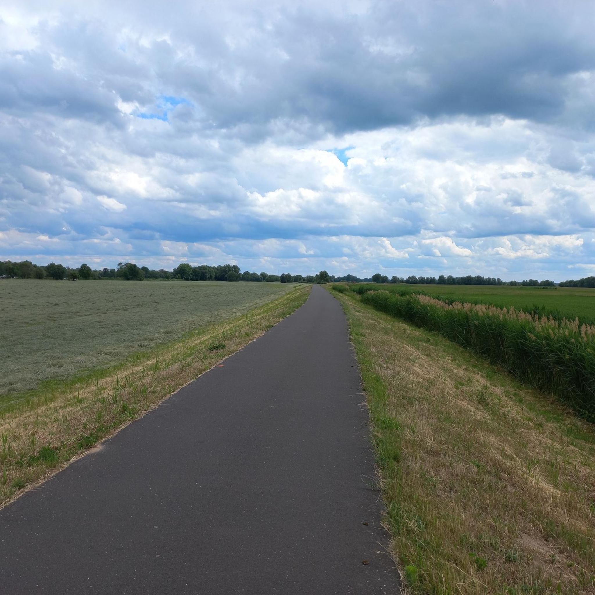
Explore Monte Valonsadero on this easy 13.4-mile (21.6 km) touring cycling route, featuring river views and forests near Soria.
85
ライダー
41.4km
02:47
620m
620m
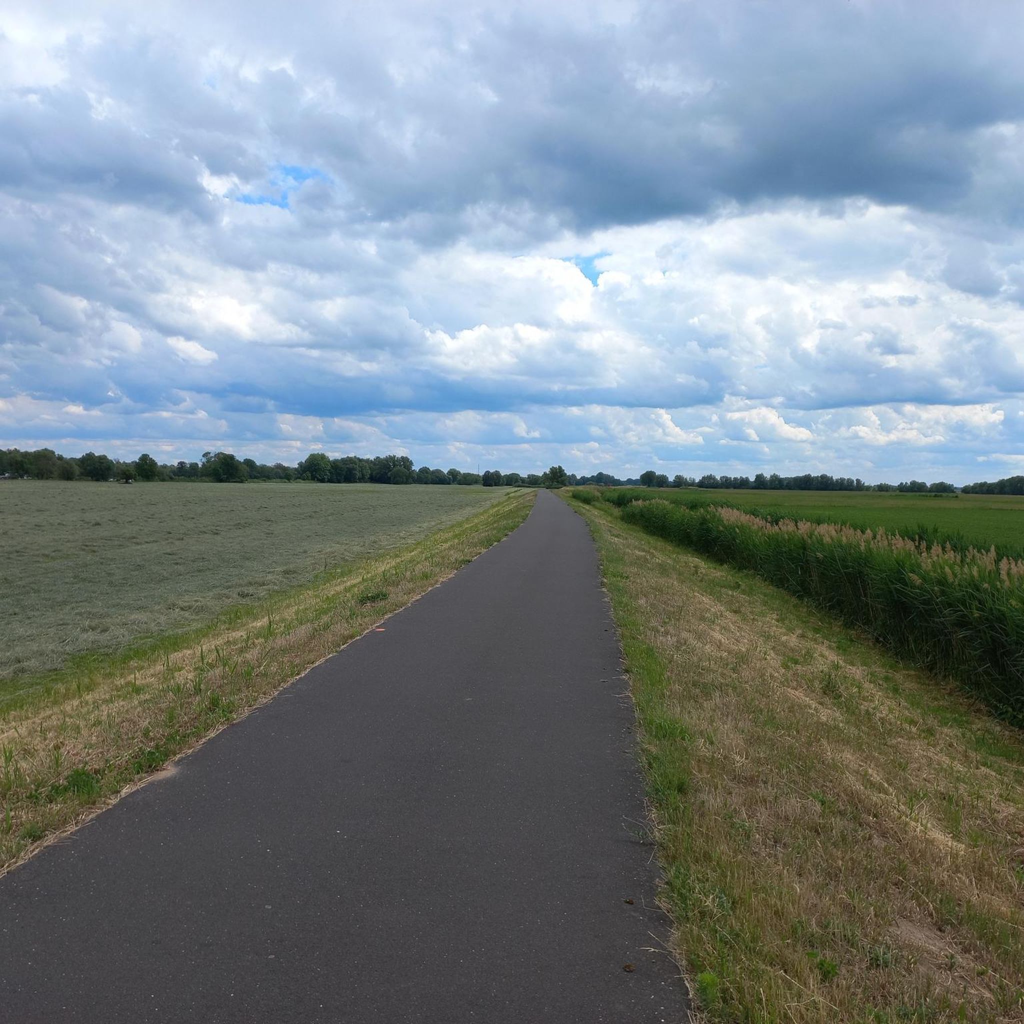
難しい自転車ライド. 標準以上のフィットネスレベルが必要です。 全般的に舗装された状態です。あらゆるスキルレベルに適しています。

無料新規登録
4.9
(8)
41
ライダー
49.1km
04:32
220m
220m
中程度の自転車ライド. ある程度のフィットネスレベルが必要です。 全般的に舗装された状態です。あらゆるスキルレベルに適しています。
5.0
(1)
43
ライダー
34.5km
02:41
260m
260m
中程度の自転車ライド. ある程度のフィットネスレベルが必要です。 全般的に舗装された状態です。あらゆるスキルレベルに適しています。
5.0
(5)
36
ライダー
34.7km
03:09
180m
180m
中程度の自転車ライド. ある程度のフィットネスレベルが必要です。 全般的に舗装された状態です。あらゆるスキルレベルに適しています。
さらに多くのルートや他のユーザーのおすすめ情報を確認できます。
無料新規登録
すでにアカウントをお持ちですか?
おすすめのツアーは他のkomootユーザーが実際に経験した何千ものアクティビティに基づいています。



ピナレスでのの他の冒険


コミュニティからのヒント

Gothic church with a beautiful ribbed vault dedicated to the Virgin of the Pine
0
0

Stage 1. Soria/Duruelo de la Sierra 106 kilometers. 1,240 meters of elevation gain. The stage's altitude data borders on a peaceful day of cycling from a medium-level perspective, especially the elevation gain concentrated in the final stretch, between Hontoria del Pinar and Duruelo de la Sierra. The stage can be divided into two days, with the first night's stop in San Leonardo de Yagüe, which has all the necessary amenities. In these bikepacking reports and suggestions, I try to provide information, suggestions, and opinions on optimal routes, routes, and terrain for enjoyable gravel bike travel. However, these data should always be assessed subjectively, allowing each cyclist to establish their own travel style and pace, depending on the tour company, the time of year, their goals, or their personal taste. A beautiful part of traveling is making each experience your own adventure. The milestones are marked, indicating paths, outstanding places, points of interest, or discoveries made by other cycle travelers, but each cyclist must find their own inspiration, and it will always be a unique journey. The Duero River has been a frontier since the dawn of Iberian civilizations, and Soria a strategic stronghold in a territory of conquest and power. And whenever I begin a bike trip in Soria, I always look for the riverbank to mark the starting point, at the foot of the Parque del Castillo, a natural space with an atmosphere of bygone eras marked by the power of a watercourse around a medieval fortress. A quiet and convenient place to park is the Paseo de San Prudencio parking lot, near the Romanesque chapels that distinguish the city's historical and artistic heritage. Along the riverside paths, there are gardens, recreational areas, kiosks, and inspiring sculptures, and on the opposite bank are the Church of San Polo and the Chapel of San Saturio, two jewels of Soria's Romanesque architecture. And there are also the signposts for the Senda del Duero Nature Trail, where the return route begins. The sign for the start of the Santander-Mediterranean Nature Trail section between Soria and Hontoria del Pinar is next to the train station, in another part of the city. The connection from the banks of the Duero River between the two Nature Trails has no specific signage; it follows the river along the riverside promenade, passes the San Saturio pedestrian bridge, and climbs along the University of Soria bike path to the Carretera de Madrid roundabout. The best route I've found in this area of industrial estates and vacant lots to reach the route of the old Santander railway is to go up Eduardo Saavedra Street to a crossroads where there are some car dealerships, turning left onto Camino del Cañuelo. This is a somewhat winding but effective route for reaching the "ground zero" of the Santander-Mediterranean Nature Trail by bike. The trail is located at the train station exit, with an information panel and the first red signs indicating the crossing points. And then it's time to pedal toward the forest kingdom of Tierra Pinariega and the Picos de Urbión. The first few kilometers fly by; it's a rural area, the villages are far from the railway, and you simply have to glide along the magnificent gravel surface of the old railway, seeing the remains of the stops, stations, and milestones of the Nature Trail. Ocenilla is a district of Cidones, close to the railway crossing, at the foot of the solitary Cabrejas mountain range. It's easy to cycle to the entrance of the village and see the sculpture of the Warrior of Ocenilla, a striking representation of a Celtiberian warrior found in the drawings of a 3rd-century BC vase, associated with the Numantian culture. The route winds along endless straight stretches alongside the Cabrejas mountain range and enters Tierra Pinariega through the municipalities of Abejar and Cabrejas del Pinar. Some milestones bear the yellow arrows of the Castilian-Aragonese Way of St. James.
0
0

Ocenilla is a hamlet belonging to the municipality of Cidones. It is located 15 km from the capital, Soria. In the distance, beneath the foothills of the Sierra de Cabrejas, you can see the Pico Frentes. Access is the same as to Cidones, taking the N-234. Festivals include St. Anthony of Padua on June 13th and St. Stephen's Day on December 26th. A Celtiberian fortress stands here, part of the wall still stands today. The economy is based primarily on livestock farming. Among the plants, the oak stands out. Typical dishes include perolo on Christmas Eve and cachula, or pork blood broth. Art and Sights in Ocenilla Hermitage of San Antonio Church of San Esteban Archaeological Remains Don Simón Spring (Natural Spring) Ivy Spring (Natural Spring) Old Washhouse (Old Washhouse) Source: https://www.cidones.es/ocenilla
0
0

Located next to the Remoncillo River, its original function was to wash wool from sheep shearing at the time of the Mesta Council (Middle Ages). Free access. --------- Located next to the Remoncillo River, its original function was to wash wool from sheep shearing at the time of the Mesta Council (Middle Ages). Free access.
0
0

Challenging at the beginning and the end. In the middle of the climb, you have an easy zone
0
0

The church of Santo Domingo, from the 12th century, is one of the jewels of Soria's Romanesque. Especially noteworthy is its cover rich in stone carvings.
2
0

The parish church of Nuestra Señora del Pino is Gothic-Renaissance in style. Construction began in 1591 by the master stonemason Juan de Naveda (author of one of the Escorial towers).
4
0
よくある質問
ピナレスには、交通量のないサイクリングルートがいくつありますか?
ピナレスでは、100以上の選択肢がある、交通量のないサイクリングルートを幅広く提供しています。これらのルートは、簡単な森の小道から、より挑戦的な山の登り坂まで、さまざまなスキルレベルに対応しています。
ピナレスが交通量のないサイクリングに最適な目的地である理由は何ですか?
ピナレスは、広大な松林、変化に富んだ地形、そして整備されたルート網で知られており、これには歴史的なグリーンウェイも含まれます。これらの転用された鉄道線路は、Vía Verde de la Sierra de la Demandaのように、景色の良い風景の中をスムーズで交通量のない道を提供し、しばしばトンネルや виадукт を特徴としています。この地域の自然の美しさは、川、貯水池、そして多様な森林があり、サイクリストにとって爽快な環境を提供します。
ピナレスには、簡単で家族向けの交通量のないサイクリングルートはありますか?
はい、ピナレスには家族連れやリラックスしたライドを楽しみたい方に最適な、簡単な交通量のないサイクリングルートがいくつかあります。リストされている簡単なルートは7つあり、緩やかな勾配の木陰の森をたどることがよくあります。素晴らしい例は、モンテ・バロンサデロ・ルート1で、標高差がほとんどない快適な21.5kmのライドを提供します。
ピナレスで、挑戦的な交通量のないサイクリングルートを見つけることはできますか?
もちろんです。経験豊富なサイクリストで挑戦を求めている方のために、ピナレスは57の難易度の高いルートを提供しています。これらはしばしば山岳地帯を抜けるかなりの登りを含み、やりがいのある景色を提供します。例としては、ビヌエサ発、ラグラナ・ネグラ登り。– モリーノス・デ・ドゥエロ周回ルートがあり、41km以上で600メートル以上の標高差をカバーします。
ピナレスには、周回型の交通量のないサイクリングルートはありますか?
ピナレスの交通量のないサイクリングルートの多くはループとして設計されており、同じ地点からスタートして同じ地点に戻ることができるため、同じ道を戻る必要がありません。これには、ソリア発、ペーニャ・デ・ラ・シエルペ – サント・ドミンゴ教会周回ルートのようなルートが含まれており、かなりの46kmの周回コースを提供します。
これらのルート沿いで、どのような自然の魅力を見ることができますか?
ピナレスの交通量のないルートは、しばしば息をのむような自然の特徴を通り抜けたり、その近くを通ったりします。雄大なピコ・デ・ウルビオン、静かなラグナ・ラルガ、または絵のように美しいクエバ・セレーナの滝のようなおすすめスポットを見つけることができます。多くのルートは、エンバルセ・デ・ラ・クエルダ・デル・ポソのような景色の良い川や貯水池の岸辺に沿っています。
交通量のないサイクリングルートから、歴史的または文化的な史跡にアクセスできますか?
はい、ピナレスをサイクリングすることで、その豊かな歴史と文化を垣間見ることができます。ルートはしばしば魅力的な伝統的な石造りの村を通り抜け、地元の建築と田舎の生活を披露します。この地域はまた、シエラ・デ・ラ・デマンド近くのアタプエルカのようなロマネスク美術と考古学的な遺跡で知られており、ライドに文化的な次元を加えています。
ピナレスでサイクリングツアーをするのに最適な時期はいつですか?
年間を通して穏やかな気候のため、春と秋はピナレスでのサイクリングツアーに特に理想的です。これらの季節には、天候が快適で、風景は鮮やかになり、秋の色が森にさらなる美しさを加えます。夏も楽しめますが、特に木陰の松林ではそうです。冬はより寒い条件になる可能性があります。
ピナレスの交通量のないサイクリングルートは犬同伴可能ですか?
ピナレスの多くの自然道やグリーンウェイは、犬がよく訓練されていて、しばしばリードにつながれている限り、犬と一緒にサイクリングするのに適しています。しかし、犬が許可されていることを確認するために、特に保護された自然地域では、常に特定のルート規制または地元の標識を確認することをお勧めします。
他のサイクリストはピナレスでのサイクリングについて何が一番気に入っていますか?
ピナレス地域はkomootコミュニティから高く評価されており、平均スコアは4.48つ星です。レビューでは、広大な松林の静けさ、真に交通量の少ない体験を提供するよく整備されたグリーンウェイ、そして静かな川岸から挑戦的な山の景色まで及ぶ多様な景観がしばしば称賛されています。途中で魅力的な村や自然のランドマークを発見する機会も頻繁に強調されています。
交通量のないルート沿いには、施設や景色の良い展望台はありますか?
はい、多くのルートには施設や景色の良い展望台があります。例えば、現在はハイライトとなっているトレディージョ駅跡は、トレディージョ駅跡 – ソリア発、ピコ・フレンテス展望周回ルートのようなルートで見つけることができます。また、エル・ブンケル避難所のような避難所や、ロスト・ラブ展望台のような素晴らしい眺めもあり、休憩して景色を楽しむ場所を提供しています。

komootモバイルアプリでインスピレーションを得よう


探していたものは見つかりませんでしたか?
ピナレスの下にある他のサイクリングルートをチェックして、目的地で完璧なルートを見つけましょう。
さらに探索
他の地域の最高のサイクリングルートを見てみましょう。
