ラ・ハラ周辺のおすすめバス停からハイキング&ウォーキング
4.8
(35)
283
ハイカー
5
ハイキング
バス停周辺のハイキングコース、ラ・ハラ(コロラド州)は、州南中部に位置し、標高7,605フィート(約2,318メートル)で、多様な景観へのアクセスを提供します。この地域は、広大なリオ・グランデ国有林に隣接しており、そびえ立つ山頂と緑豊かな谷が特徴です。ハイカーは、公有地に囲まれたラ・ハラ・バシン周辺のエリアを探索し、火山ドームであるセロ・ラ・ハラなどの地質学的特徴を発見できます。地形は、森林の小道、開けたエリア、貯水池近くのルートが混在しており、様々なハイキング体験を提供します。
ラ・ハラ周辺の最高のバス停ハイキングコース
- バス停に最も近い人気のハイキングコースは、ラス・ウンフリアス発、ラス・ウンフリアス~チョレラ・デ・ラス・ランチス・ループです。これは8.4マイル(13.5 km)の難易度の高いコースで、所要時間は4時間41分です。このルートは、変化に富んだ地形を通り、かなりの標高差があります。
- 地元のハイカーに人気のもう一つのコースは、エル・プエンテ・デル・アルソビスポ - アスータンで、6.2マイル(10.1 km)の適度な難易度のトレイルです。このトレイルは、適度な登りと景色の良い眺めが楽しめるバランスの取れた体験を提供します。
- 地元のハイカーに人気のもう一つのコースは、マルパシージョ橋とエストレチュラ・デル・プサ・ループです。これは2.8マイル(4.6 km)のトレイルで、河岸の風景を通り抜け、所要時間は約1時間15分です。
- ラ・ハラ周辺のハイキングは、山頂、森林の小道、貯水池エリアによって特徴づけられます。このネットワークは、簡単なループからより挑戦的な登りまで、さまざまなスキルレベルに対応するオプションを提供します。
- ラ・ハラのルートは、komootコミュニティから高く評価されており、35件以上のレビューで平均4.8つ星を獲得しています。286人以上のハイカーがkomootを利用して、ラ・ハラの多様な地形を探索しています。
最終更新日: 5月 10, 2026
4.5
(4)
26
ハイカー
9.52km
03:08
270m
270m
Hike the difficult 5.9-mile Garganta de las Lanchas Trail, gaining 892 feet to discover unique waterfalls and diverse ecosystems.
1
ハイカー
10.1km
02:40
100m
100m
This moderate 6.2-mile hike connects the historic Archbishop's Bridge with the ancient Azután dolmen, offering a journey through Toledo's pa

無料新規登録
4.58km
01:15
70m
70m
Enjoy an easy 2.8-mile (4.6 km) hike in Santa Ana de Pusa, featuring the scenic Estrechura del Pusa gorge and the historic Malpasillo Bridge
9.42km
02:28
80m
80m
Hike the moderate 5.9-mile Puente del Arzobispo Trail, exploring the Tagus River, historic bridge, and Pedroso Gorge in 2 hours and 28 minut
4
ハイカー
13.5km
04:41
530m
530m
難しいハイキング. ある程度のフィットネスレベルが必要です。 安定して歩行できる技術、丈夫な靴、高標高地での登山経験が必要です。
おすすめのツアーは他のkomootユーザーが実際に経験した何千ものアクティビティに基づいています。
無料アカウントで今日から始めよう
次の冒険が待っています。
ログインまたは登録


コミュニティからのヒント

Using the power of moving water to drive a mill wheel is an ancient invention that dates back to pre-Christian times. Thanks to such a construction, human or animal muscle power could be easily replaced by a watercourse - natural or artificially created - in order to grind grain into corn, for example. There are essentially two different ways of driving watermills: Either the water simply hits the blades of the water wheel from below to set it in motion; or the water is guided above the wheel and falls onto the blades; this type of construction is more efficient due to natural gravity.
0
1

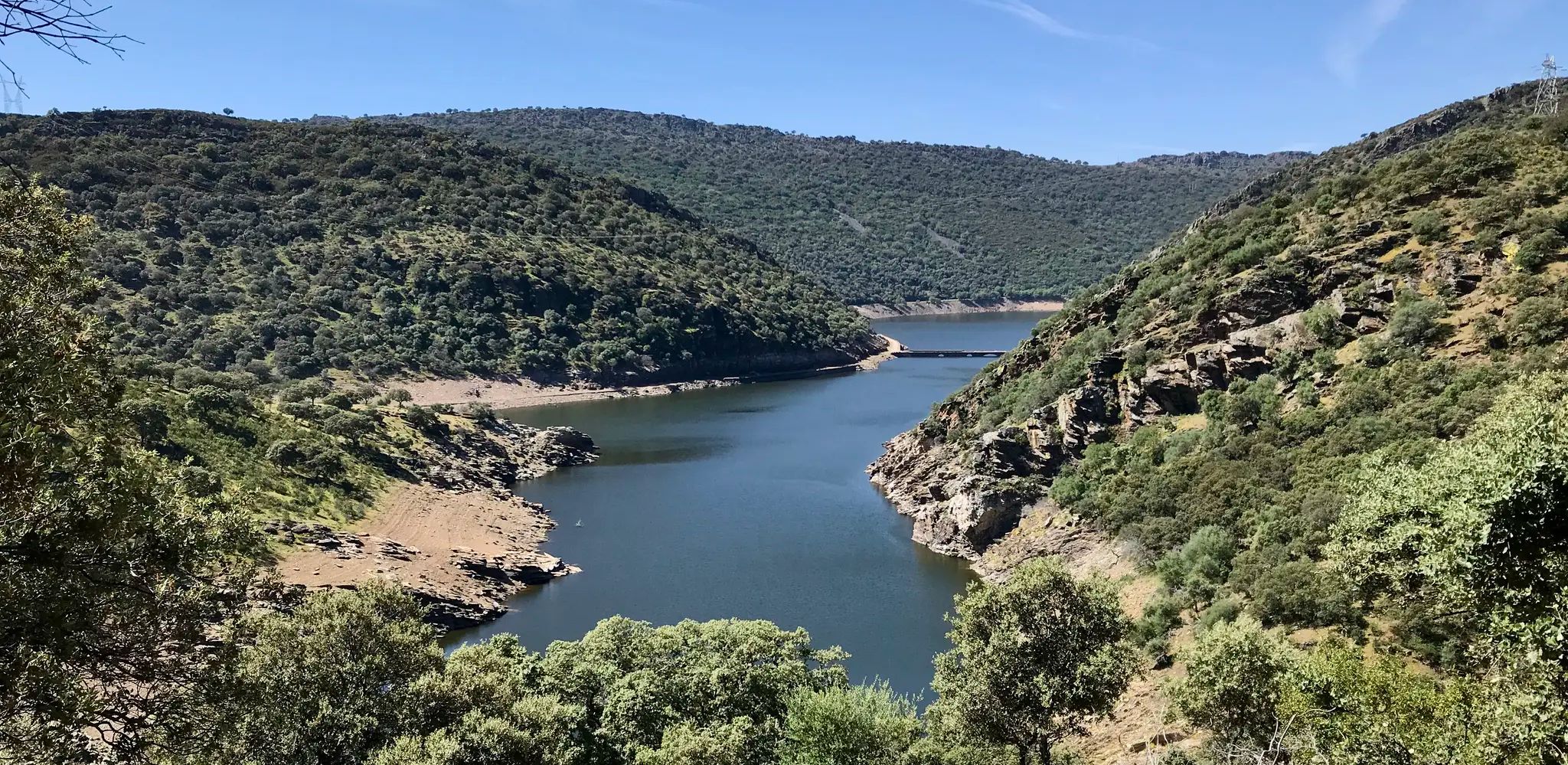
Las Hunfrías is a small town of less than 50 inhabitants that sits in a beautiful valley surrounded by mountains. To the south of the town you will find green areas full of oaks, holm oaks, pines and chestnut trees, as well as shrubs such as cistus, broom and ferns.
0
0
Here you will find a shelter called Caseta de la Garganta de las Lanchas. If you walk the path for about a hundred meters you will reach the Garganta de las Lanchas and shortly after two beautiful waterfalls. This trail is prohibited for bicycles, so you will have to leave your bike at the shelter or walk with your bike.
0
1

The Archbishop's Bridge is a municipality in Toledo that takes its name from its beautiful Gothic bridge with 11 arches that crosses the waters of the Tagus River. The town is famous for its ceramics, and together with Talavera de la Reina, it is the largest pottery center in Spain.
1
1

This great bridge with eleven eyes over the Tagus River gives its name to the Toledo town in which it is located, although the left bank of the river is already considered Cáceres and forms part of the municipality of Villar del Pedroso. It was built between 1383 and 1388 by order of the Archbishop of Toledo Pedro Tenorio.
2
1

This area of the Pusa river known as the "Narrowness" has been used in the past with mills that, although they are currently in ruins, I recommend visiting them since the landscape is very picturesque.
2
0
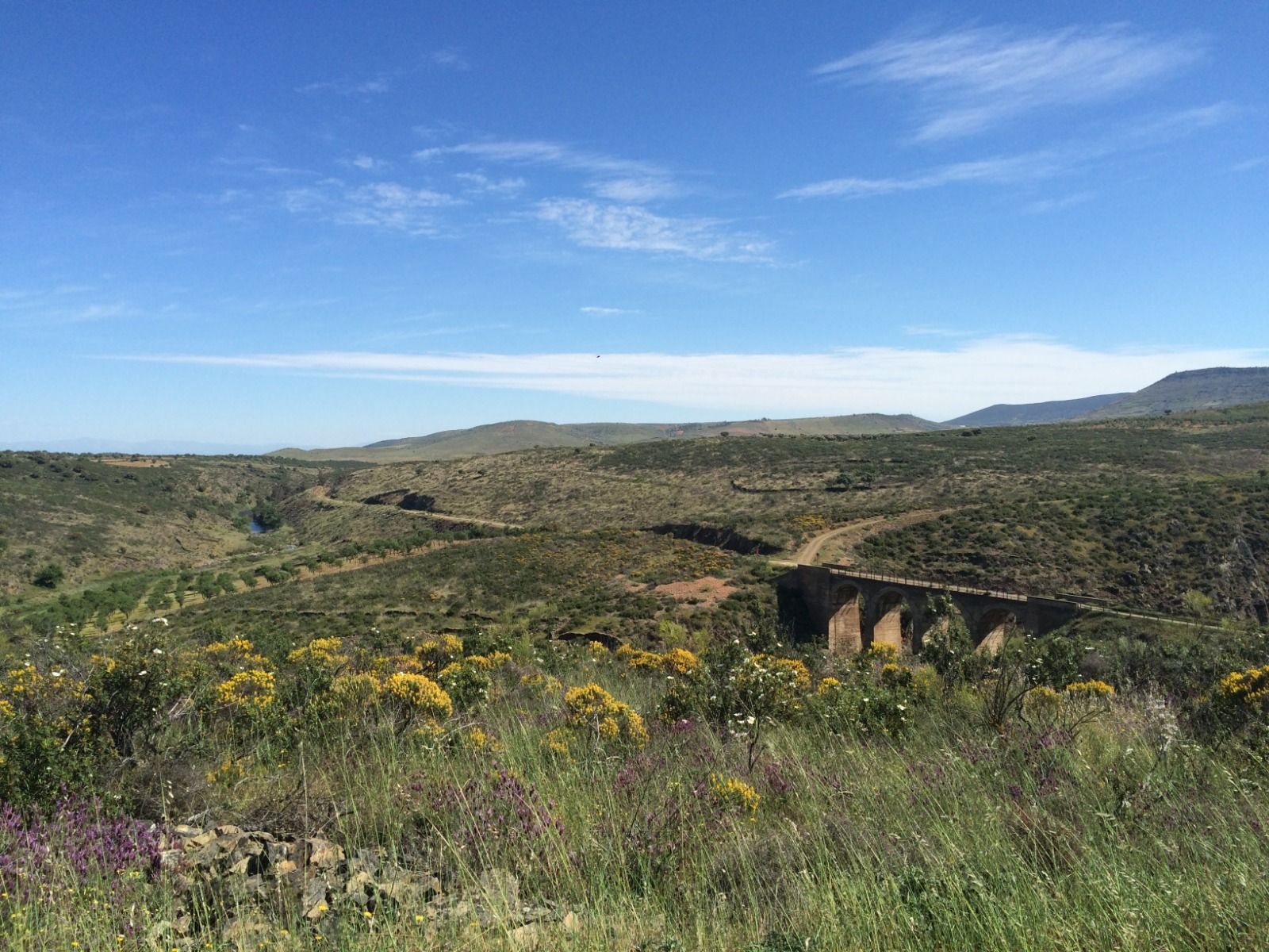
Built in the 19th century to cross the course of the Pusa River, the bridge named Malpasillo is neoclassical in style and stands out in the picturesque landscape that surrounds it. It owes its name to the small and narrow rocky gorge where it sits, since it may seem like a jump but it is undoubtedly a "bad step" due to the danger it represents.
2
1
The province of Toledo has a large number of megalithic monuments in its territory. The dolmen known as "La Estrella" is one of them and is believed to be over 4,500 years old and was used as a burial place.
3
0
よくある質問
ラ・ハラ周辺には、バスでアクセス可能なハイキングコースがいくつありますか?
ラ・ハラ周辺には、バス停からアクセス可能なハイキングコースが5つあります。これらのコースは、地域の多様な景観を巡る、簡単な散策からより挑戦的なトレッキングまで、さまざまな難易度を提供しています。
ラ・ハラのバス停からアクセスしやすいハイキングオプションはありますか?
はい、バス停からアクセスしやすい簡単なハイキングコースが1つあります。穏やかな散策には、距離が4.5km強で標高差がほとんどないマルパシージョ橋とエストレチューラ・デル・プサ・ループをご検討ください。
ラ・ハラ近郊のバスアクセス可能なハイキングでは、どのような地形が予想されますか?
ラ・ハラ周辺の地形は非常に多様です。広大なリオ・グランデ国有林を横断するトレイルがあり、山頂から緑豊かな谷まで、多様な景観を楽しめます。ルートによっては、火山ドームのような地域のユニークな地質学的特徴を通り抜けたり、小川や貯水池に沿って進んだりすることもあります。
ラ・ハラのバス停から出発する周回ルートはありますか?
はい、いくつかのルートは周回型です。例えば、マルパシージョ橋とエストレチューラ・デル・プサ・ループは簡単な周回オプションです。より挑戦的なループをご希望の場合は、ラス・ウンフリアスからのラス・ウンフリアス – チョレーラ・デ・ラス・ランチャス・ループをご検討ください。
これらのバスアクセス可能なトレイルをハイキングするのに最適な時期はいつですか?
ラ・ハラ周辺のハイキングに最適な時期は、一般的に春の遅い時期から秋の初めにかけての暖かい月です。夏は快適な気候で、モンスーンシーズンには野花を見かけることもあります。ただし、特に標高の高い場所やラ・ハラ貯水池のような場所への道路状況については、常に現地の気象条件を確認してください。
バスアクセス可能なハイキングトレイル沿いに滝や景色の良い展望台はありますか?
はい、この地域にはいくつかの自然の魅力があります。チョーロ・デ・ロス・ナバルシージョス滝やチョレーラ・デ・ラス・ランチャスのような滝に出会えるかもしれません。景色の良い眺めについては、プエンテ・アスータン展望台のような展望台を探してみてください。
ハイキング愛好家はラ・ハラでのハイキングのどのような点を最も楽しんでいますか?
この地域はkomootコミュニティから高く評価されており、平均スコアは4.8つ星です。レビューでは、広大なリオ・グランデ国有林からユニークな地質学的特徴まで、多様な自然の美しさと、さまざまな体力レベルに対応するトレイルの多様性がしばしば称賛されています。
これらのバスアクセス可能なトレイルは、子供連れの家族に適していますか?
はい、家族に適したオプションがあります。マルパシージョ橋とエストレチューラ・デル・プサ・ループは、簡単で短いトレイルであり、家族連れに適した選択肢となるでしょう。常に具体的なルートの詳細(距離や標高差)を確認し、ご家族の能力に合っているか確認してください。
これらのバスアクセス可能なハイキングトレイルに犬を連れて行くことはできますか?
リオ・グランデ国有林およびその周辺地域の多くのトレイルは犬同伴可能ですが、規則は異なる場合があります。出発前に、リードや排泄物処理に関する特定のトレイル規則を確認するのが常に最善です。犬がしつけられており、あなたと犬の両方に十分な水を持参していることを確認してください。
経験豊富なハイカー向けの、より長く、より挑戦的なバスアクセス可能なハイキングはありますか?
もちろんです。経験豊富なハイカーで挑戦を求めている方には、ガルガンタ・デ・ラス・ランチャス・トレイルやラス・ウンフリアスからのラス・ウンフリアス – チョレーラ・デ・ラス・ランチャス・ループのようなルートは難易度が高く評価されており、丸一日かけて楽しめる長い距離とかなりの標高差を提供します。
これらのトレイルをハイキングするために特別な許可証や料金が必要ですか?
一般的に、リオ・グランデ国有林のような公共の土地でのハイキングには、日帰り利用のための特別な許可証は必要ありません。ただし、特にラ・ハラ貯水池州立野生生物保護区のような地域で、プリミティブキャンプを計画している場合は、関連当局に適用される可能性のある特定の規則や許可証について確認することをお勧めします。
ラ・ハラでのの人気観光スポット

komootモバイルアプリでインスピレーションを得よう


さらに探索
他の地域の最高のハイキングを見てみましょう。
