アルカリア・アルタ周辺のおすすめバス停からハイキング&ウォーキング
4.6
(167)
1,200
ハイカー
10
ハイキング
バス停から始まるアルカリア・アルタ周辺のハイキングコースは、スペイン、グアダラハラの中心部にある多様な風景を横断します。この地域は、川の谷、石灰岩の地形、地中海の森林が特徴で、ハイカーに変化に富んだ地形を提供します。アルト・タホ自然公園の一部も含まれており、峡谷や川の眺めが特徴です。標高は、川床からシエラ・デ・アルトミラにある1,300メートルを超える山頂まで様々です。
アルカリア・アルタ周辺の最高のバス停ハイキングコース
- バス停から最も人気のあるハイキングコースは、ヴィアナ・トレイルです。これは7.8マイル(12.5 km)のコースで、所要時間は4時間11分です。この難易度の高いルートからは、周囲の風景のパノラマビューが楽しめます。
- 地元のハイカーに人気のもう一つのコースは、Jardín de La Alcarria — ブリーウェガのラベンダー畑を巡る周回コースです。これは7.5マイル(12.0 km)の中程度の難易度のコースです。このトレイルは、有名なラベンダー畑を通り抜け、ユニークな景観体験を提供します。
- 地元のハイカーに愛されているもう一つのコースは、フンディド・デ・アルマジョーネス・ループです。これは14.6マイル(23.4 km)のコースで、アルト・タホ自然公園を通り抜け、所要時間は約6時間40分です。
- アルカリア・アルタ周辺のハイキングは、川の谷、石灰岩の地形、地中海の森林が特徴です。このネットワークは、中程度のコースからより挑戦的なルートまで、様々なレベルのハイカーに対応するオプションを提供しています。
- アルカリア・アルタのルートは、komootコミュニティから高く評価されており、100件以上のレビューで平均4.6つ星を獲得しています。1000人以上のハイカーがkomootを利用して、アルカリア・アルタの多様な地形を探索しています。
最終更新日: 8月 30, 2026
5.0
(2)
22
ハイカー
12.5km
04:11
370m
370m
Hike the difficult 7.8-mile Tetas de Viana circular route from Trillo, gaining 1210 feet for panoramic views from La Redonda (1,144 m).
5.0
(1)
5
ハイカー
12.0km
03:15
160m
160m
中程度のハイキング. ある程度のフィットネスレベルが必要です。 進みやすいルートです。あらゆるスキルレベルに適しています。

無料新規登録
1
ハイカー
23.4km
06:40
530m
530m
Hike the difficult 14.6-mile Hundido de Armallones circular route in Alto Tajo Natural Park, gaining 1736 feet over 6 hours and 40 minutes.
17
ハイカー
15.5km
05:03
440m
450m
難しいハイキング. 標準以上のフィットネスレベルが必要です。 安定して歩行できる技術、丈夫な靴、高標高地での登山経験が必要です。
5.0
(4)
10
ハイカー
8.92km
02:35
170m
170m
中程度のハイキング. ある程度のフィットネスレベルが必要です。 全般的に進みやすいルートです。安定して歩行できる技術が必要です。
さらに多くのルートや他のユーザーのおすすめ情報を確認できます。
無料新規登録
すでにアカウントをお持ちですか?
おすすめのツアーは他のkomootユーザーが実際に経験した何千ものアクティビティに基づいています。
無料アカウントで今日から始めよう
次の冒険が待っています。
ログインまたは登録

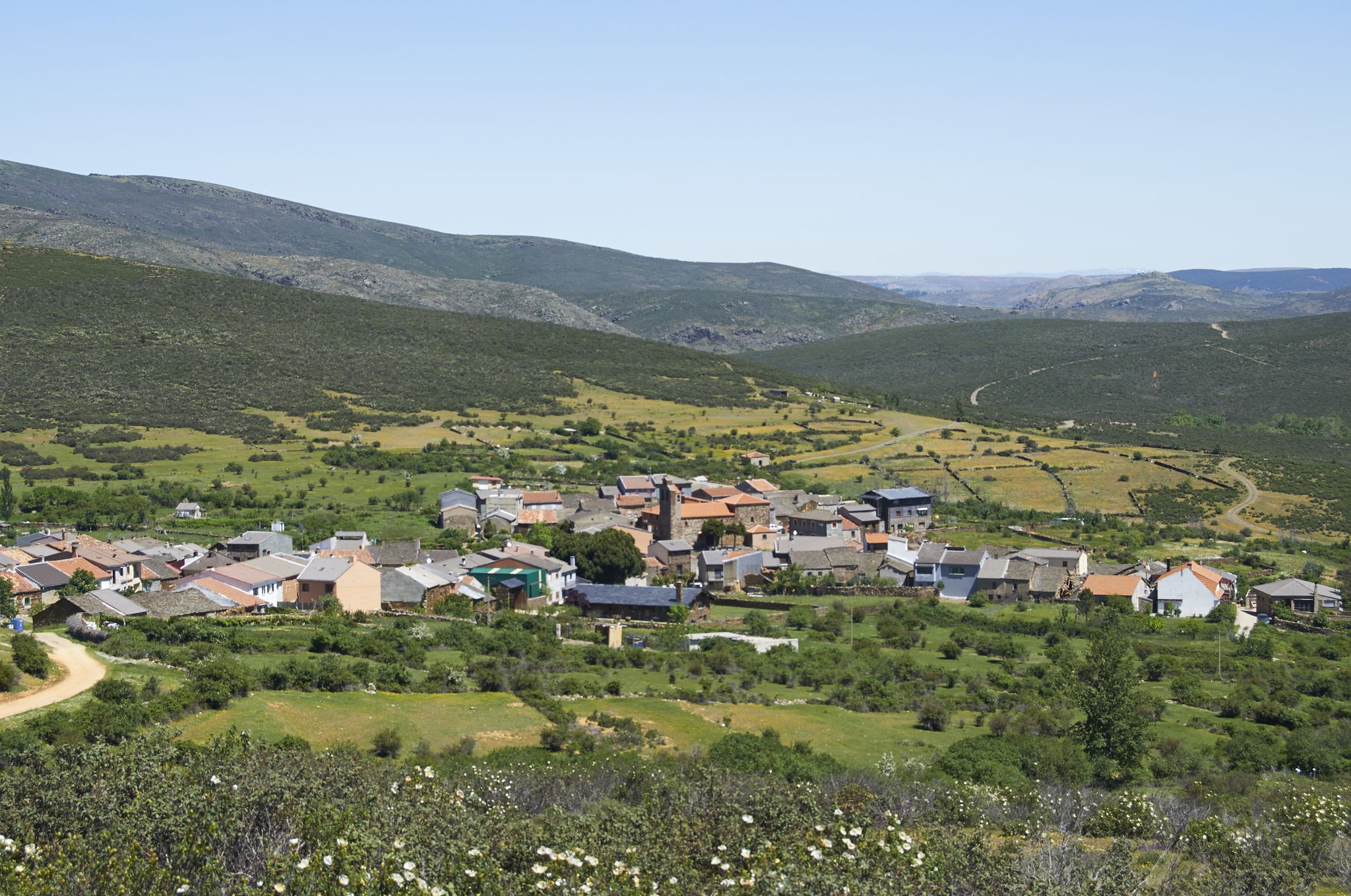
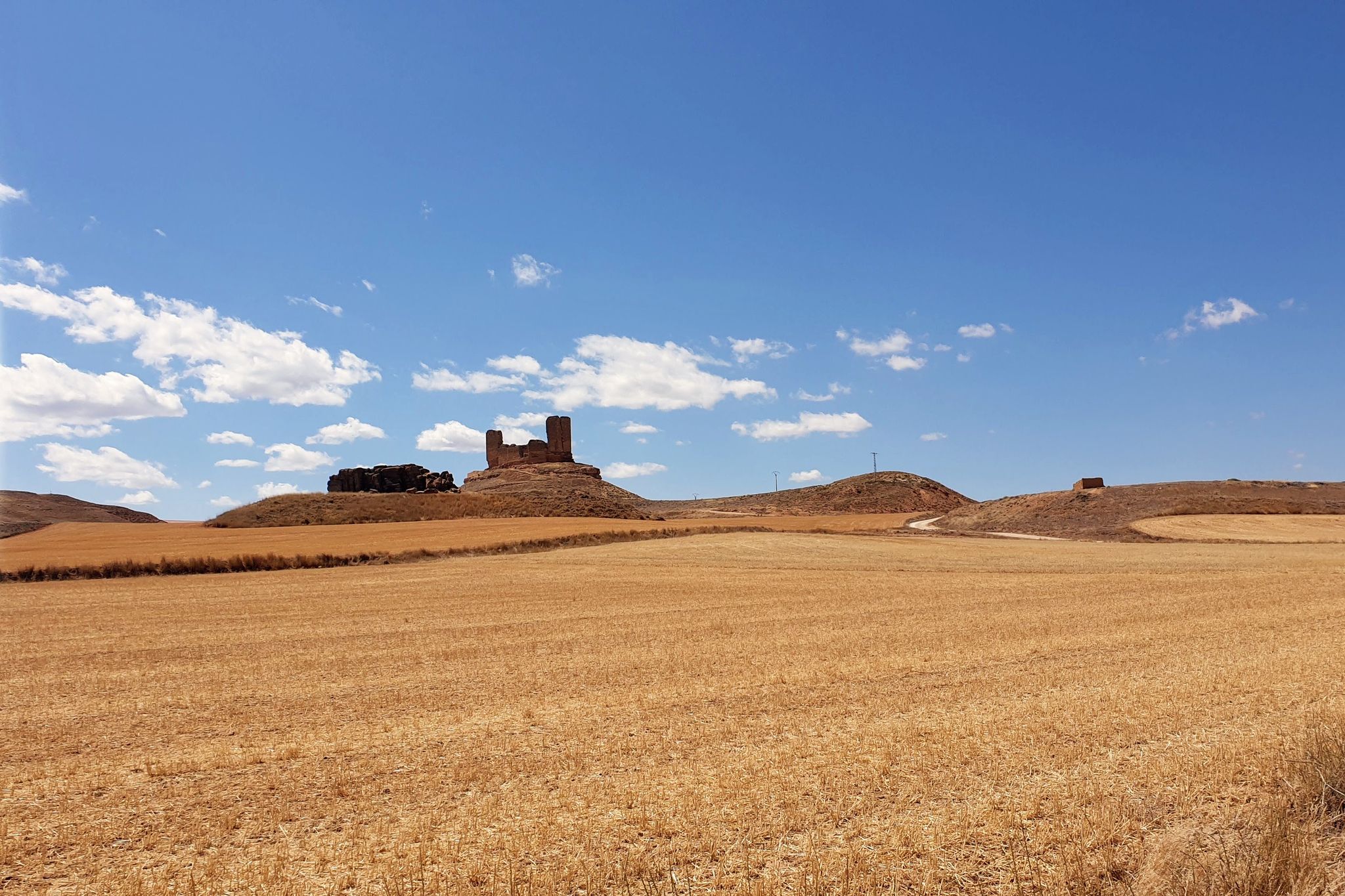
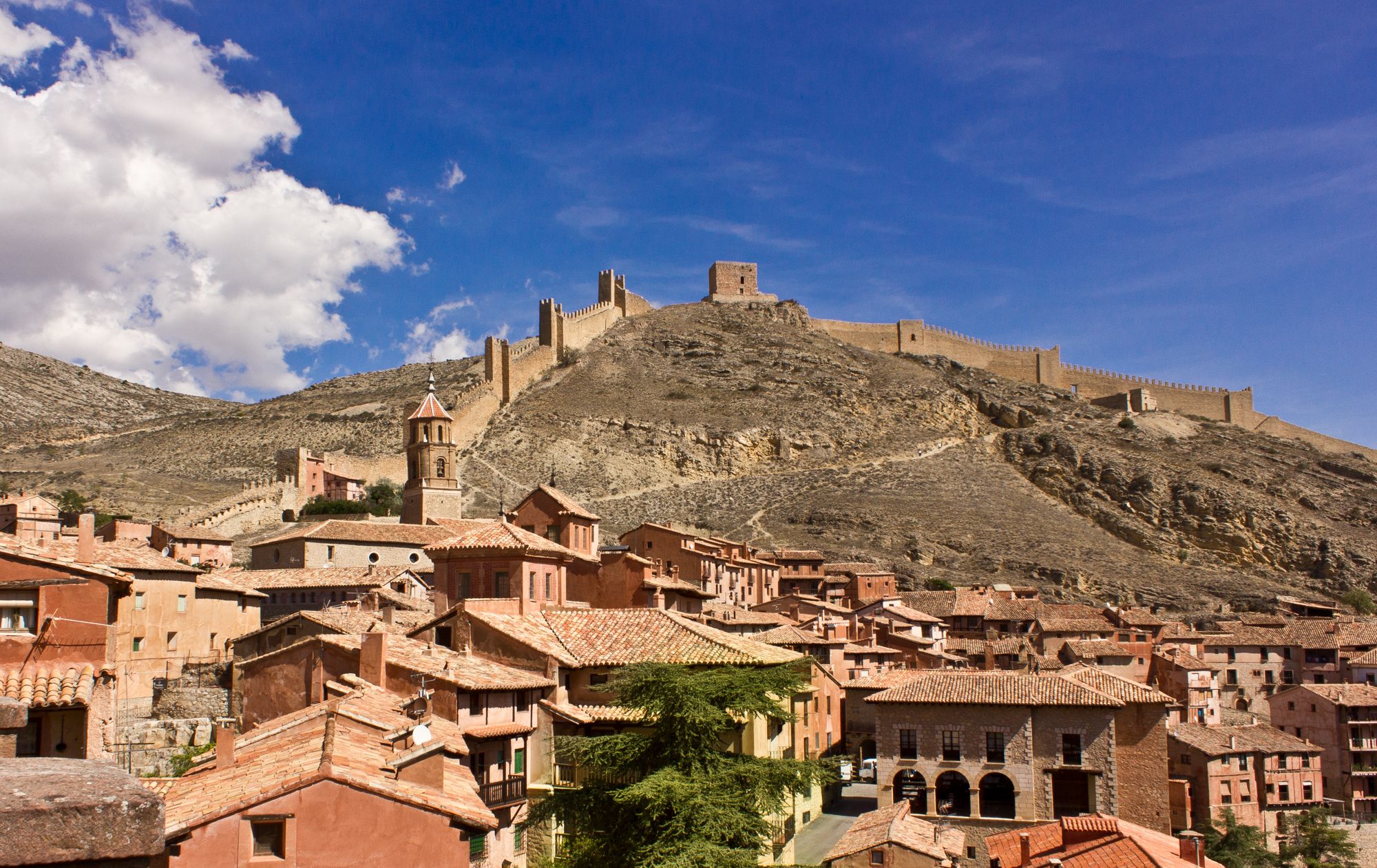
アルカリア・アルタでのの他の冒険


コミュニティからのヒント

A curious place where the collapse of the side cliffs, as a consequence of the Lisbon earthquake, closed the Tagus River for several days, interrupting the flow of water. Today, there are still a large number of huge rocks at the bottom of the Tagus. It is worth visiting.
0
0
Beauty concentrated in the color purple.
0
0
An elevated place with splendid landscapes throughout its surroundings. It is worth visiting.
0
0

The entrance to the summit is spectacular, it is the geographical ceiling of the Alcarria and the views are magnificent, practically the entire Alcarria Alta, the Serranía de Guadalajara, the Sierra de Ayllón, the popular Ocejón and the Sierra de Guadarrama. And the towns of Viana de Mondéjar and La Puerta from a bird's eye view. The summit plain has a circular path around the summit that may be covered in grass, although it can be seen in the terrain. A good vantage point is the north side, with views of the Elongated Tit. Around the perimeter there are some wooden sticks that can be confused with trail signs. In reality, they indicate the limit of the danger zone. To avoid approaching the cliffs, the path runs a few meters inside.
0
0
Trillo is a stately town in Alcarria de Guadalajara on the banks of the Tagus River that has become a center for active tourism and adventure sports. It has a spa, a beautiful medieval bridge, ancestral houses of the old rural bourgeoisie, pleasant river walks and several waterfalls in the center of the urban complex created by the torrent of the Cifuentes River. And it is a stage of the Camino de Santiago of the Ruta de la Lana and in one of the houses there is a plaque remembering where Camilo José Cela stayed during his famous Trip to Alcarria. In the surrounding area there are different types of signposted mountain biking and hiking routes, one of the most popular mountain walks is the local SL-1 Tetas de Viana trail, marked with green and white signs. The route begins at the Gothic bridge of the Tagus River and goes up the Camino de Viana street to the motocross circuit facilities, a good slope to warm up and enter the hills of Mediterranean forest that direct the meanders of the Tagus River towards the lake. of the Entrepeñas reservoir.
0
0
The Tetas de Viana constitute an extraordinary place from a defensive point of view, which is why they have been inhabited since ancient times. At present they constitute a spectacular viewpoint of the surrounding landscape. From them you can see the beautiful surrounding towns, Trillo, Viana de Mondejar, and La Puerta (at the entrance to Rocas Castle).
0
0

the bridge over the Tagus when it is still a modest river at its junction with the Cifuentes River
0
0

The bridge is of medieval origin and already in the 16th century it attracted attention for having only one eye, very firm and of great beauty.
10
0
よくある質問
アルカリア・アルタには、バス停からアクセスできるハイキングコースがいくつありますか?
このガイドでは、アルカリア・アルタにあるバス停からアクセスできるハイキングコースが7つ紹介されています。そのうち3つは中級、4つは上級コースで、様々な体力レベルに対応したオプションを提供しています。
アルカリア・アルタのバス停からハイキングするのに最適な時期はいつですか?
春と秋は、穏やかな気温で最も快適なハイキングコンディションを提供します。ブリウエガ周辺の有名なラベンダー畑を体験したい場合は、満開の7月に訪れる計画を立ててください。冬のハイキングも可能ですが、特に標高の高い場所では、涼しい気温と可能性のある濡れた状態に備えてください。
アルカリア・アルタのバスアクセス可能なトレイルについて、他のハイカーはどのように評価していますか?
アルカリア・アルタのバスアクセス可能なトレイルは、komootコミュニティから高く評価されており、120件以上のレビューで平均4.6つ星を獲得しています。ハイカーは、川の谷からパノラマビューポイントまで、多様な景観と公共交通機関でこれらのルートにアクセスできる利便性をしばしば賞賛しています。
アルカリア・アルタには、初心者向けの簡単なバスアクセス可能なハイキングはありますか?
このガイドでは中級から上級のルートが中心ですが、この地域には様々なレベルに適したトレイルがあります。中級オプションとしては、トリロから出発するトリロの滝ループ(距離8.8km、所要時間約2.5時間)を検討してみてください。もう一つの選択肢は、ブリウエガのラベンダー畑を巡る「Jardín de La Alcarria — circular through the lavender fields of Brihuega」(距離12km)で、素晴らしい景色を楽しめます。
アルカリア・アルタで、滝のあるバスアクセス可能なトレイルを見つけることはできますか?
はい、この地域には美しい水の景観があります。トリロから出発する「Cifuentes River Waterfall – Trillo Waterfalls loop from Trillo」(距離15.5km、難易度高)で、シフエンテス川の滝を探検できます。この挑戦的なルートは、滝と周囲の自然の美しさの印象的な景色を提供します。
有名なラベンダー畑を通るバスアクセス可能なトレイルはありますか?
もちろんです!「Jardín de La Alcarria — circular through the lavender fields of Brihuega」(距離12km、中級)は、これらの象徴的な畑を通るように特別に設計されたルートです。ラベンダーが満開になる7月が訪れるのに最適な時期です。この地域では、ハイライトとして「Lavender Fields and Arab Caves of Brihuega」も見つけることができます。
アルカリア・アルタのバスアクセス可能なハイキングでは、どのような自然景観が期待できますか?
アルカリア・アルタは多様な自然景観を提供しています。タホ川とタフニャ川の印象的な川の谷や峡谷、そして「Tajuña River Gorges」などがあります。多くのトレイルは、よく保存された地中海性の森林を横切り、ユニークな石灰岩の地形や洞窟も見つけることができます。この地域は、豊かな生物多様性と地質学的多様性で知られるアルト・タホ自然公園に隣接しています。
バス停からアクセスできるハイキングトレイルから、歴史的または文化的な名所を訪れることはできますか?
はい、アルカリア・アルタは歴史が豊かです。ハイキング中には、古代の洞窟、城跡、伝統的な村に出会うかもしれません。例えば、ユニークな「Cívica Rock Dwellings and Waterfall」は魅力的な光景です。この地域はまた、中世スペインの面影を残す歴史的なカミノ・デル・シッドの一部でもあります。
アルカリア・アルタのバスアクセス可能なトレイルは、家族連れに適していますか?
一部のバスアクセス可能なトレイルは、特に適度な距離と少ない標高差を求める家族連れに適しています。「Trillo Waterfalls loop from Trillo」(距離8.8km)は、ハイキングに慣れた年長の子供がいる家族連れに良い選択肢です。子供たちと出発する前に、必ずルートの距離と難易度を確認してください。
アルカリア・アルタのバスアクセス可能なトレイルは、犬を連れて行っても大丈夫ですか?
一般的に、アルカリア・アルタのほとんどのハイキングトレイル、特に田舎や自然地域では犬は歓迎されます。ただし、野生生物を保護し、他のハイカーの安全を確保するため、特にアルト・タホのような自然公園では、常に犬をリードにつないでおくことをお勧めします。地元の規制に注意し、ペットの排泄物は必ず片付けてください。
アルカリア・アルタのバスアクセス可能なハイキングで、展望ポイントはどこで見つけられますか?
アルカリア・アルタの多くのトレイルは、壮大な展望ポイントを提供しています。標高1,300メートルを超える山々があるシエラ・デ・アルトミラからは、この地域の信じられないような360度の景色が楽しめます。「Viana Trail」(距離12.5km、難易度高)は、特徴的なテタス・デ・ビアナまで続くルートで、頂上からは素晴らしいパノラマビューが楽しめます。
バスアクセス可能なハイキングトレイルの近くに、食事や宿泊施設はありますか?
はい、トリロやブリウエガのような、これらのバスアクセス可能なハイキングの出発点となる多くの村には、地元のレストラン、カフェ、宿泊施設があります。特にピークシーズン中は、空室状況を確認するために事前に確認することをお勧めします。
アルカリア・アルタでのの人気観光スポット

komootモバイルアプリでインスピレーションを得よう


さらに探索
他の地域の最高のハイキングを見てみましょう。
