モンテス・ノルテ周辺のおすすめバス停からハイキング&ウォーキング
4.5
(147)
983
ハイカー
8
ハイキング
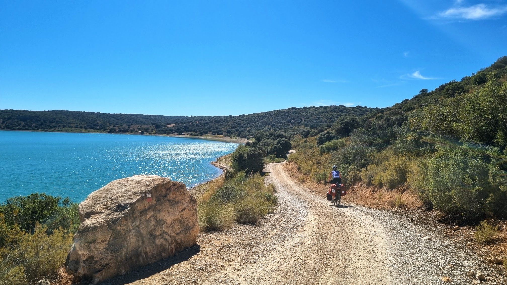
Bus station hiking trails around Montes Norte traverse a diverse landscape characterized by rugged mountains, dense forests of oak and pine, and deep valleys. The region features impressive waterfalls, unique karstic formations, and significant biodiversity, offering a range of experiences for outdoor enthusiasts. Hikers can explore extensive trail networks that wind through varied terrain, from riparian zones to elevated viewpoints. These natural features provide a rich environment for exploration, accessible directly from local bus stations.
Best bus station hiking trails…
最終更新日: 10月 24, 2026
4.3
(3)
23
ハイカー
9.52km
03:08
270m
270m
Hike the difficult 5.9-mile Garganta de las Lanchas Trail, gaining 892 feet to discover unique waterfalls and diverse ecosystems.
16.1km
04:28
290m
290m
Hike the moderate 10.0-mile (16.1 km) Sierra de la Ubría circular route from Fuenlabrada de los Montes, offering scenic Mediterranean landsc

11
ハイカー
5.09km
01:36
130m
130m
中程度のハイキング. ほとんどが歩ける道です。足元への注意が必要です。
4
ハイカー
13.5km
04:41
530m
530m
難しいハイキング. ある程度のフィットネスレベルが必要です。 安定して歩行できる技術、丈夫な靴、高標高地での登山経験が必要です。
5
ハイカー
8.03km
02:03
30m
30m
中程度のハイキング. ある程度のフィットネスレベルが必要です。 歩きやすい道です。
さらに多くのルートや他のユーザーのおすすめ情報を確認できます。
すでにアカウントをお持ちですか?
おすすめのツアーは他のkomootユーザーが実際に経験した何千ものアクティビティに基づいています。
無料アカウントで今日から始めよう
次の冒険が待っています。


コミュニティからのヒント

The Malagón Bullring is a place with a rich history and significance. The bullring owes its name to a wooden cross with greenish pigments that was found on one of the facades of the old houses surrounding the area. Although its exact origin is unknown, its existence has been documented since the 18th century. This green cross was an emblem of the Inquisition and led the processions held on the eve of an auto-da-fé. It symbolized the hope of eternal salvation for heretics reconciled with the Catholic Church.
18
0
The Parish of Santa Teresa de Jesús is a place of spiritual encounter and community for the faithful in Malagón. Just opposite is a magnificent park, Parque Adolfo Suárez, with a beautiful pergola.
27
0
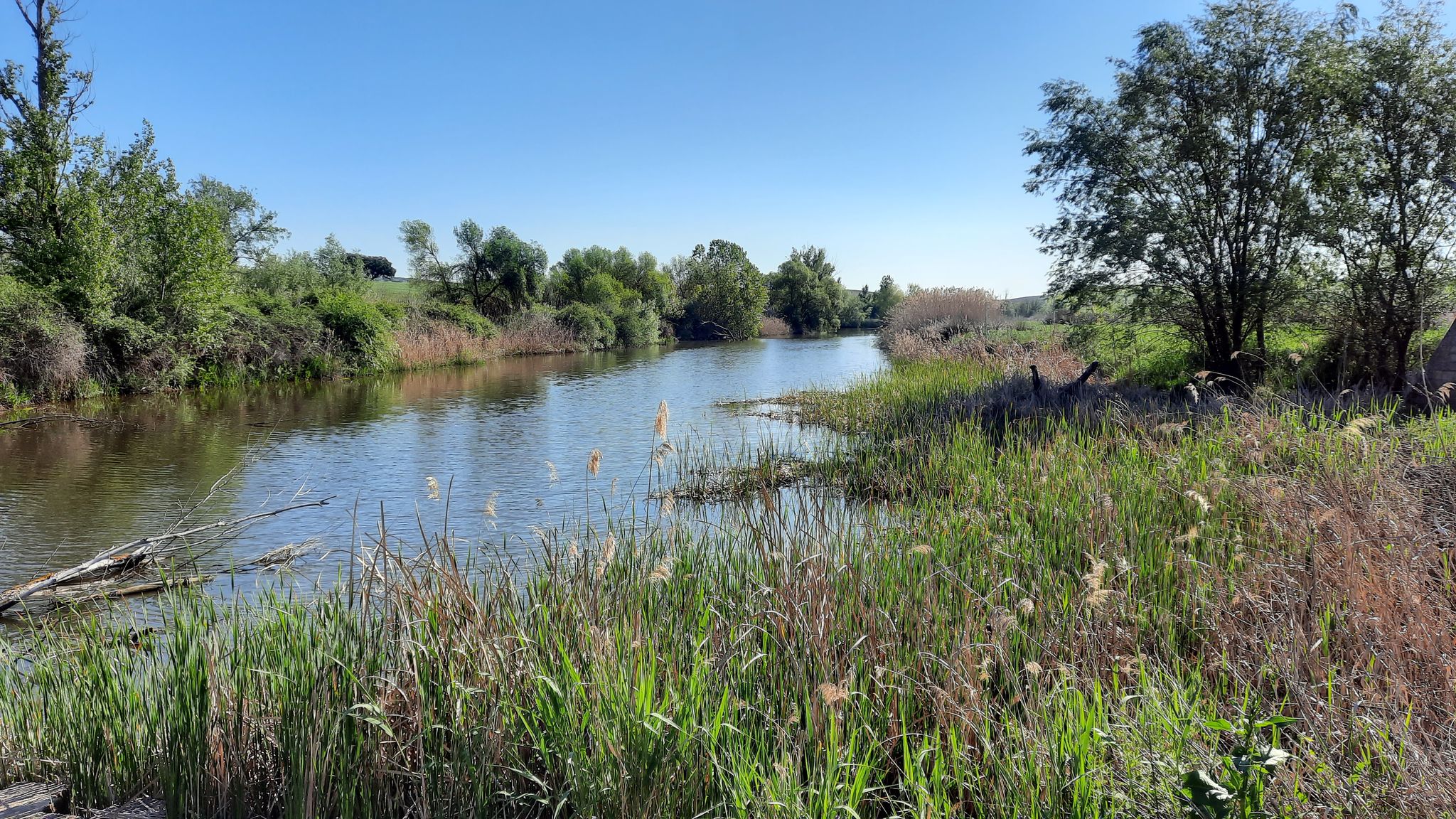
Excellent environment for routes, in times of little rain you can cross with great care.
31
0
Right in front is a magnificent park, Parque Adolfo Suárez, with a beautiful Pergola.
21
0
The Parish of Santa Teresa de Jesús is a place of spiritual meeting and community for the faithful in Malagón.
23
0
The Bañuelos River Bridge from Roman times surprises us with its ten eyes, today battered awaiting rehabilitation, formed by brick vault arches, joined with lime and sand mortar. On the right bank of the river next to the bridge is the Carrillo Mill, named after its first owner. It is a construction from 1713, made with masonry walls and thick cylindrical buttresses, covered with wooden trusses and curved tiles that preserve the original machinery.
35
0
In the area, known as El Chaparral, there is a recreation area, ideal for walking, watching water birds and for children and pets to play safely, with magnificent views of the Malagón mountain range.
19
0
The Bañuelos River Bridge from Roman times surprises us with its ten eyes, today battered awaiting rehabilitation, formed by brick vault arches, joined with lime and sand mortar. On the right bank of the river next to the bridge is the Carrillo Mill, named after its first owner. It is a construction from 1713, made with masonry walls and thick cylindrical buttresses, covered with wooden trusses and curved tiles that preserve the original machinery.
17
0
よくある質問
Montes Norteにはバスでアクセス可能なハイキングコースはいくつありますか?
Montes Norteにはバスでアクセス可能なハイキングコースがいくつかあり、このガイドでは4つのルートを紹介しています。これらは中程度から難易度の高いものまで様々で、公共交通機関を利用するハイカーに多様な選択肢を提供します。
Montes Norteには、バスでアクセスできる初心者向けの簡単なハイキングコースはありますか?
このガイドでは中程度から難易度の高いルートを紹介していますが、Montes Norte地域には一般的に様々なトレイルがあります。より楽な体験を求める方は、ピエドラブエナのような村の周辺を探索することを検討してみてください。そこには比較的楽な道が多いです。出発前に必ず特定のトレイルの詳細(標高や地形)を確認してください。
Montes Norteのバスアクセス可能なハイキングコース沿いでは、どのような自然の魅力を見ることができますか?
Montes Norteのバスアクセス可能なトレイルは、魅力的な自然の特徴へとあなたを導いてくれます。地質学的な驚異であるエステナの塔や、古代の巨大海生蠕虫の痕跡に出会うかもしれません。特に雨の後には、ラ・チョレーラ・デ・オルカホ滝のような滝もこの地域の名所です。
Montes Norteのバス停から出発する周回ハイキングコースはありますか?
はい、利便性を考慮して設計された周回ルートがあります。例えば、フエンラボラ・デ・ロス・モンテスからのシエラ・デ・ラ・ウブリア・ループや、フエンラボラ・デ・ロス・モンテスからのプエルト・スマホ・ビエホ – プエルト・デ・ラ・プレサ・ループは、同じ場所から始まり同じ場所に戻る優れた選択肢であり、バス利用者にとって理想的です。
これらのバスアクセス可能なハイキングコースに犬を連れて行くことはできますか?
Montes Norteの多くのエリアは犬に優しいですが、特に国立公園や保護地域では、特定の規則が異なる場合があります。ハイキングを計画している特定のトレイルに関する地域の規制を常に確認することをお勧めします。一般的に、地元の野生生物を保護し、他のハイカーの安全を確保するために、犬はリードにつないでおくべきです。
Montes Norteでハイキングするのに最適な時期はいつですか?
Montes Norte地域は、一年を通して多様なハイキング体験を提供します。春と秋は、穏やかな気温と鮮やかな風景で、一般的に理想的です。夏は、特に低地では暑くなることがあります。冬はユニークで静かな体験を提供しますが、高地のトレイルの一部は気象条件により難しくなる可能性があります。出発前に必ず天気予報を確認してください。
これらのトレイルでは、どのような景色や景観が期待できますか?
Montes Norteは、険しい山々、オーク、松、栗の密な森、そして深い谷が特徴です。特にモンテス・デ・マラガのようなエリアでは、海岸と内陸の両方の景色を望む様々な展望ポイントからパノラマビューが期待できます。ガルガンタ・デ・ラス・ランチス・トレイルは、この地域のドラマチックな渓谷と自然の美しさの一端を垣間見せてくれます。
Montes Norteでは、バスでアクセスできる挑戦的なハイキングコースはありますか?
はい、Montes Norteは経験豊富なハイカー向けの挑戦的なルートを提供しています。ガルガンタ・デ・ラス・ランチス・トレイルや、ラス・ウンフリアスからのラス・ウンフリアス – チョレーラ・デ・ラス・ランチス・ループのようなトレイルは難易度が高く評価されており、大きな標高変化を伴い、良好な体力が必要です。
Montes Norteでのハイキングについて、他のハイカーが最も楽しんでいる点は何ですか?
この地域はkomootコミュニティから高い評価を得ており、平均スコアは4.5つ星です。レビューでは、この地域の豊かな自然の美しさ、多様な地形、そして密な森からユニークな地質学的構造まで、多様な生態系を探索できる機会がしばしば称賛されています。
Montes Norteのバスアクセス可能なハイキングで野生生物を見かけることはできますか?
Montes Norteは生物多様性のホットスポットです。特定のトレイルや時期によっては、様々な鳥類、鹿、あるいは保護地域では野生の猫やカワウソのようなより見つけにくい動物を目撃するかもしれません。密な森と多様な生息地は、特にトレイルの静かな区間で、野生生物観察のための優れた機会を提供します。
バスアクセス可能なハイキングコース沿いには、歴史的または文化的な要素はありますか?
より広いMontes Norte地域のいくつかのハイキングルートには、歴史的および文化的な場所が含まれています。このガイドのバスアクセス可能なトレイル上の特定の歴史的ポイントは詳細には記載されていませんが、この地域は中世の建造物や絵のように美しい村を含む文化遺産で知られています。ピエドラブエナのような村のバス停周辺を探索すると、地元の歴史が明らかになるかもしれません。
Montes Norteでのバスアクセス可能なハイキングには、どのような服装や持ち物が必要ですか?
多様な地形と大きな標高変化の可能性を考慮すると、丈夫なハイキングブーツは必須です。変化する気象条件に適応するために重ね着をし、常に十分な水、軽食、地図またはGPSデバイス、日焼け止めを持参してください。より長く、またはより挑戦的なルートの場合は、トレッキングポールを検討してください。
モンテス・ノルテでのの人気観光スポット

komootモバイルアプリでインスピレーションを得よう


さらに探索
他の地域の最高のハイキングを見てみましょう。
