ルイエ・フロイド・フォン周辺のおすすめ交通量の少ないサイクリングルート
4.2
(87)
3,317
ライダー
252
ライド
Ruillé-Froid-Fonds周辺の交通量の少ないロードサイクリングルートは、自然景観と専用のサイクリングインフラストラクチャが融合した地域であるペイ・ド・ラ・ロワール地方のマイエンヌ県にあります。この地域には、しばしば廃線となった鉄道線路を転用したグリーンウェイのネットワークがあり、車両交通から離れたスムーズなサイクリング体験を提供します。数多くの小さな田舎道も、魅力的な村や自然の風景を通るルートを提供しています。マイエンヌ川とその水路沿いの道は、歴史的建造物やロードサイクリングに適した多様な地形によって補完された、景色の良いルートを提供します。
Ruillé-Froid-Fonds周辺の交通量の少ないロードサイクリングルート ベスト
- 最も人気のある交通量の少ないロードサイクリングルートは、フロマンティエール発、ダオン~マイエンヌ高架橋ループのマイエンヌ川です。このルートは42.7マイル(68.8 km)で、所要時間は3時間13分です。この適度な難易度のルートからは、マイエンヌ川と印象的なマイエンヌ高架橋の景色を楽しめます。
- 地元のロードサイクリストに人気のもう一つのルートは、ヴィリエ=シャルルマーニュ発、メンヒル・ド・ラ・ユヌループです。これは27.5マイル(44.3 km)の簡単なルートです。このルートは、古代のメンヒル・ド・ラ・ユヌを通り過ぎながら、地元の田園地帯を巡ります。
- 地元のロードサイクリストに人気のもう一つのルートは、ジェンヌ=ロンジュフュイ発、ノートルダム教会~ソレム修道院ループです。この55.5マイル(89.3 km)のルートは、田園風景を通り抜け、ノートルダム教会やソレム修道院のような有名なランドマークを通過します。所要時間は約3時間50分です。
- Ruillé-Froid-Fonds周辺のロードサイクリングは、グリーンウェイ、景色の良い田舎道、マイエンヌ川沿いのルートが特徴です。このネットワークは、簡単なものから適度なもの、そして挑戦的なものまで、様々なライディングオプションを提供します。
- Ruillé-Froid-Fondsのルートは、komootコミュニティから高く評価されており、50件以上のレビューで平均4.3つ星を獲得しています。1900人以上のロードサイクリストがkomootを利用して、Ruillé-Froid-Fondsの多様な地形を探索しました。
最終更新日: 10月 8, 2026
9
ライダー
44.3km
01:57
300m
300m
初級者向けロードバイクライド. あらゆるフィットネスレベルに適しています。 全般的に舗装状態が良好で走行しやすい道です。
7
ライダー
89.2km
03:49
570m
570m
中程度のロードライド. ある程度のフィットネスレベルが必要です。 全般的に舗装状態が良好で走行しやすい道です。

5
ライダー
31.0km
01:26
260m
260m
中程度のロードライド. あらゆるフィットネスレベルに適しています。 ツアーの一部に、未舗装のため走行が難しい箇所があるかもしれません。
3.0
(1)
3
ライダー
27.5km
01:14
210m
210m
初級者向けロードバイクライド. あらゆるフィットネスレベルに適しています。 全般的に舗装状態が良好で走行しやすい道です。
7
ライダー
34.4km
01:38
310m
310m
中程度のロードライド. ある程度のフィットネスレベルが必要です。 全般的に舗装状態が良好で走行しやすい道です。
さらに多くのルートや他のユーザーのおすすめ情報を確認できます。
すでにアカウントをお持ちですか?
おすすめのツアーは他のkomootユーザーが実際に経験した何千ものアクティビティに基づいています。
無料アカウントで今日から始めよう
次の冒険が待っています。
ルイエ・フロイド・フォン周辺で人気
コミュニティからのヒント

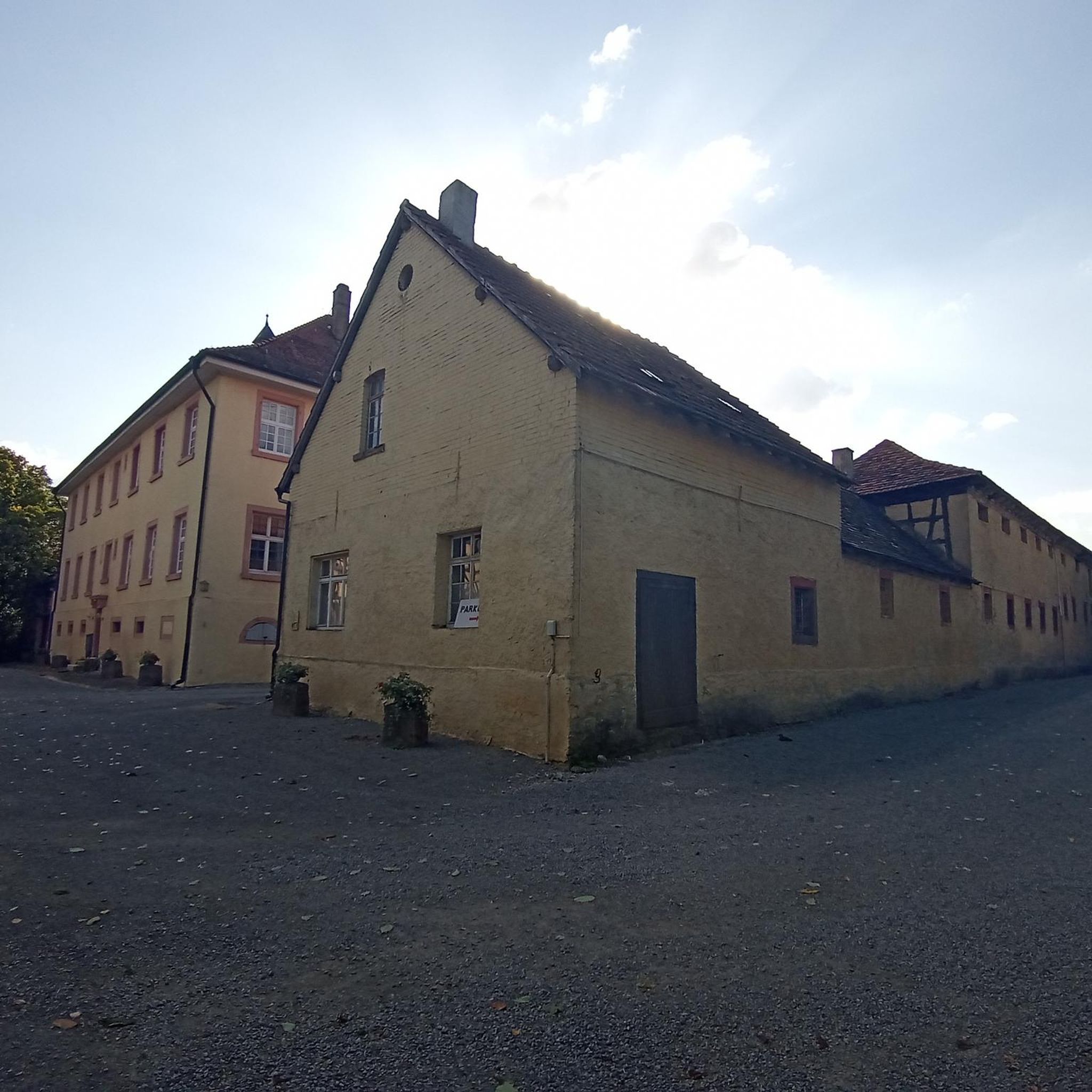
1885年に建てられた古い裁判所です。現在は市庁舎の一部となっています。
0
0
1870年に建てられた美しい教会。通りの向かい側にある教会の入り口の向かいにある、とても美しい建物にも注目してください。
0
0

Parish Church of Saints Peter and Paul. The parish was once part of the archdeaconry of Sablé and was under the jurisdiction of the bishopric of Le Mans. It is only mentioned in texts from the 12th century onwards. The construction of the building, however, predates these first mentions and dates back to the first half of the 11th century. Most of the nave survives from this early church, whose south wall features a narrow, semicircular bay, dressed in red sandstone. The north wall partially collapsed in 1558 and was rebuilt shortly after. To the south, at the junction of the nave and the choir, the bell tower was added in the 12th century. It is a massive tower supported at the corners by buttresses; it is quadrangular in plan and built outside the building. At its summit, this tower features two levels of openings on each side: first, a relatively wide, double-arched bay, surmounted by two narrower, semicircular openings. It is covered with a saddleback roof, a feature found in several surrounding churches. Its eastern face is flanked by an apse housing a chapel dedicated to Saint Louis. A doorway in the tower's west wall, with a lintel carved with an ogee (opened in the late 15th or early 16th century), provides access from the outside. The choir, whose drip walls are built in line with the nave walls, was built in the 13th century on the site of a more modest choir. It features a flat chevet pierced by two narrow pointed-arch windows (blocked during the construction of the altarpiece). The same type of openings are found on its side walls. As with the nave, the main structure is made of sandstone rubble, but for this part, the walls are supported by buttresses with dressed stone glacis. These are joined at their summit by a very crude modillioned cornice, which is particularly visible on the north face. Internally, the building forms an elongated volume, with the choir and nave separated by a thick wall pierced by a double-rolled pointed arch: the nave and choir occupy two-thirds and one-third of the space, respectively. Despite some modest later alterations, the church retains its ancient appearance. The furnishings were largely renewed in the second half of the 18th century. The three limestone altarpieces, built in 1766 at the initiative of the priest Jacques-René Guitton de l'Écluse, are the work of an architect from Précigné (Sarthe) named Lalande. The main altarpiece, placed against the apse wall, is concave in shape. It comprises three bays and retains its ancient statuary: Saint Peter and Saint Paul, patron saints of the church, in the side niches, and Saint Anne and the Virgin Mary in the upper one. The center is occupied by a painting depicting the Adoration of the Magi, a copy after Rubens. The side altars, located at the entrance to the choir, are dedicated to the Virgin and Saint Julian. A wrought iron arch serves as a beam of glory: it is the work of a local marshal, Château. A few years later, in 1785, a new baptismal font was installed, as was a pulpit (Perret, carpenter). In 2004, the Sauvegarde de l'Art français (French Art Protection Agency) granted €4,000 in aid for the repair of the roof and the installation of a lightning rod.
0
0
The Church of Our Lady of Sablé-sur-Sarthe is believed to have been built in the 15th century. Extensively restored over the centuries, it now boasts a late 18th-century neo-Gothic style, which has helped to highlight its medieval architecture. During the third quarter of the 17th century, the church's high altar was restored, and at the end of the first quarter of the 18th century, three new bells were cast by workshops in Le Mans. Finally, in the mid-18th century, the bell tower was rebuilt, as we can still see it today.
0
0

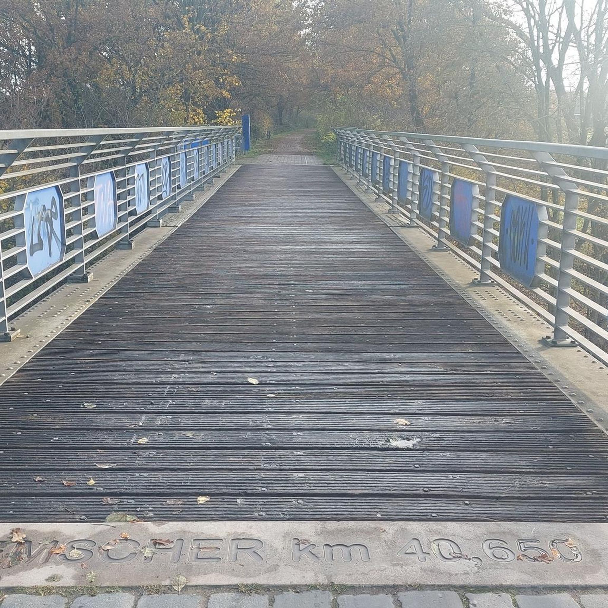
Magnificent viaduct, the largest in Mayenne, blends in very well with the landscape.
0
0
よくある質問
Ruillé-Froid-Fonds周辺には、交通量の少ないロードサイクリングルートはいくつありますか?
Ruillé-Froid-Fonds周辺には、komootに登録されている交通量の少ないロードサイクリングルートが260以上あります。これらのルートは、さまざまな距離と難易度を提供しており、サイクリングの好みに合わせたオプションが用意されています。
これらの静かなロードサイクリングルートでは、どのような地形が期待できますか?
Ruillé-Froid-Fonds周辺地域は、ロードサイクリングに多様な景観を提供しています。絵のように美しい田舎道が多く、交通量の多い道路から離れており、専用のグリーンウェイもあります。地形は、特にメーヌ川沿いのなだらかな起伏のある丘陵地帯を含み、一部のルートでは適度な標高差があります。この地域は、川岸から魅力的な村々まで、変化に富んだ景色で知られています。
初心者向けの、交通量の少ない簡単なロードサイクリングルートはありますか?
はい、Ruillé-Froid-Fonds周辺には、交通量の少ない簡単なロードサイクリングルートが43件あります。これらのルートは一般的に短く、標高差も少ないため、初心者やリラックスしたライドを楽しみたい方に最適です。例として、ヴィルエール=シャルルマーニュ発のメネル・ド・ラ・ユヌ・ループは、簡単なルートとして評価されています。
これらの静かなサイクリングルート沿いには、どのようなランドマークや見どころがありますか?
多くのルートは、注目すべきランドマークを通過します。川のパノラマビューを提供する、印象的なメーヌ水道橋をサイクリングできます。その他の史跡には、ラ・ロニエールの水門管理人の家と旧製粉所、古代のパルネ=シュル=ロックの古い橋、そして歴史的なシャトー・ゴンティエ城があります。これらのアトラクションは、ライドに文化的な深みを与えます。
交通量の少ないルートには、景色の良い展望スポットはありますか?
もちろんです。メーヌ水道橋は際立った特徴であり、専用の経路からメーヌ川と周囲の景色の息をのむような眺めを提供しています。メーヌ川の堤防沿いの多くのルートも、水と自然環境の絵のように美しい眺めを提供しています。
Ruillé-Froid-Fonds周辺の交通量の少ないロードサイクリングルートについて、他のロードサイクリストは何を楽しんでいますか?
この地域はkomootコミュニティから高く評価されており、平均スコアは4.3つ星です。レビューでは、ルートの静けさ、メーヌ川沿いの美しい自然の景色、そして静かな田舎道で魅力的な村々を探索できる機会がしばしば称賛されています。手入れの行き届いたグリーンウェイも、スムーズなサイクリング体験のために頻繁に高く評価されています。
交通量の少ない円形のロードサイクリングルートはありますか?
はい、Ruillé-Froid-Fonds周辺の交通量の少ないロードサイクリングルートの多くはループとして設計されており、同じ場所からスタートして終了できます。例としては、フロマンティエール発のダオンのメーヌ~メーヌ水道橋ループや、ジェンヌ=ロングフュイ発のメーヌ水道橋~シャトー・ゴンティエ城ループがあり、さまざまな距離と景観を提供しています。
これらの交通量の少ないロードサイクリングルートの駐車場はどこで見つけられますか?
各ルートに特定の駐車場が常に指定されているわけではありませんが、通常はこれらのルートの出発点となる村や町、例えばRuillé-Froid-Fonds自体や、近くのシャトー・ゴンティエなどで駐車場を見つけることができます。これらの地域では、公共駐車場または路上駐車を探してください。
自転車を持って公共交通機関でこれらのサイクリングルートにアクセスできますか?
Ruillé-Froid-Fondsのような田舎では、自転車を持ち込める公共交通機関で全てのルートの出発点に直接アクセスできるオプションは限られている場合があります。特定のルートとその自転車ポリシーについて、地元のバスまたは鉄道サービスを確認することをお勧めします。多くの場合、出発点まで車で行き、駐車するのが、自転車を持っているサイクリストにとって最も便利な方法です。
メーヌ地域で交通量の少ないルートをサイクリングするのに最適な時期はいつですか?
春、夏、初秋(おおよそ4月から10月)が、メーヌ地域でサイクリングするのに一般的に最適な時期です。これらの期間中は、天候が穏やかで快適であり、風景は最も鮮やかになります。これにより、絵のように美しい田舎道やグリーンウェイを快適に探索できます。
メーヌ川沿いのルートはありますか?
はい、メーヌ川はこの地域の重要な特徴であり、多くのルートはその景色の良い堤防道を利用しており、これらはしばしば交通量がありません。これらの道は、水辺を静かにサイクリングする体験を提供し、水門管理人の家や製粉所のような史跡を見る機会があります。フロマンティエール発のダオンのメーヌ~メーヌ水道橋ループは、川の美しさを取り入れたそのようなルートの1つです。
ルイエ・フロイド・フォンでのの人気観光スポット

komootモバイルアプリでインスピレーションを得よう


さらに探索
他の地域の最高のロードサイクリングルートを見てみましょう。
