マルクスハイムのおすすめウォーキング&ハイキングルート
4.4
(296)
1,232
ハイカー
24
ハイキング
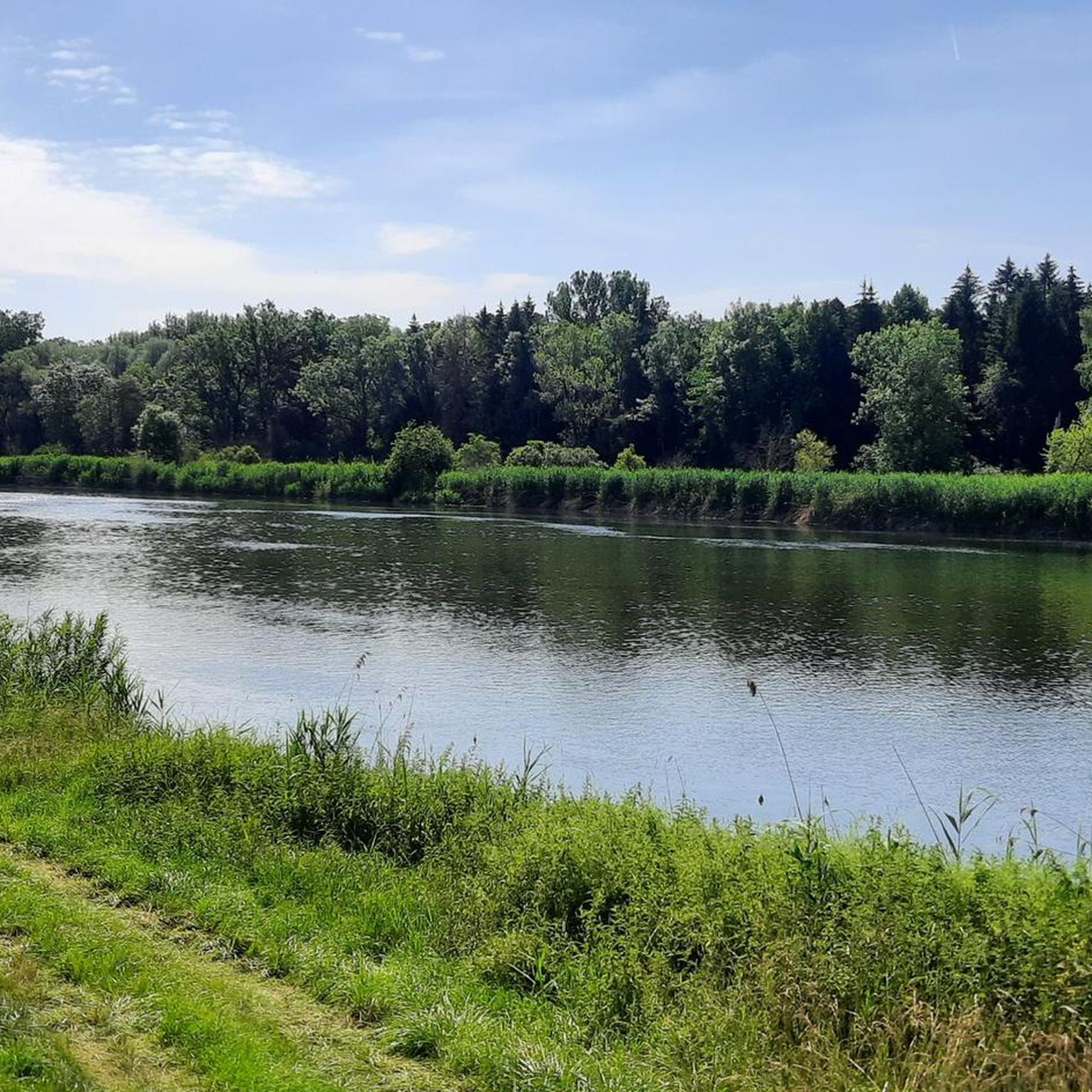
マルクスハイム周辺のハイキングは、アルトミュールタール自然公園の端に位置するドイツのドナウ・リース地方で、多様な景観を提供します。この地域は、なだらかな丘陵地帯、絵のように美しい森、そしてドナウ川沿いのルートが特徴です。この地理的条件により、川沿いの小道から見晴らしの良い展望台まで、さまざまなハイキング体験ができる多様な地形が楽しめます。
マルクスハイム周辺のベストハイキングコース
- 最も人気のあるハイキングルートは、ベルトルツハイムダム – マルクスハイムからのベルトルツハイムループの眺めで、距離9.1マイル(14.6 km)、所要時間3時間41分です。このルートからは、ベルトルツハイムダムとその自然の魚道を見ることができます。
- 地元のハイカーに人気のもう一つのコースは、レヒ川とドナウ川の合流点 – マルクスハイムからのヨハネスマルクト・シュヴァインシュパイントループで、適度な難易度の7.2マイル(11.7 km)の小道です。このトレイルは、レヒ川とドナウ川の注目すべき合流点へと続いています。
- 地元のハイカーに愛されているのは、グライスバッハからのハイキングループで、距離6.9マイル(11.2 km)、所要時間約3時間3分です。このトレイルは、変化に富んだ地形を通り抜けます。
- マルクスハイム周辺のハイキングは、アルトミュールタール自然公園、ドナウ川、そして森のあるなだらかな丘陵地帯によって特徴づけられます。このネットワークは、簡単な散策からより挑戦的なルートまで、さまざまなオプションを提供しています。
- マルクスハイムのルートは、komootコミュニティから高く評価されており、260件以上のレビューで平均4.4つ星を獲得しています。1200人以上のハイカーがkomootを利用して、マルクスハイムの多様な地形を探検しました。
最終更新日: 9月 10, 2026
4.3
(9)
45
ハイカー
16.6km
04:12
20m
20m
中程度のハイキング. ある程度のフィットネスレベルが必要です。 進みやすいルートです。あらゆるスキルレベルに適しています。
1
ハイカー
12.4km
03:26
210m
210m
難しいハイキング. ある程度のフィットネスレベルが必要です。 安定して歩行できる技術、丈夫な靴、高標高地での登山経験が必要です。

5.0
(1)
7
ハイカー
11.2km
03:03
160m
160m
中程度のハイキング. ある程度のフィットネスレベルが必要です。 進みやすいルートです。あらゆるスキルレベルに適しています。
5.0
(1)
7
ハイカー
9.24km
02:34
170m
170m
中程度のハイキング. ある程度のフィットネスレベルが必要です。 進みやすいルートです。あらゆるスキルレベルに適しています。
3.0
(2)
5
ハイカー
4.19km
01:11
80m
90m
初級者向けハイキング. あらゆるフィットネスレベルに適しています。 進みやすいルートです。あらゆるスキルレベルに適しています。
さらに多くのルートや他のユーザーのおすすめ情報を確認できます。
すでにアカウントをお持ちですか?
おすすめのツアーは他のkomootユーザーが実際に経験した何千ものアクティビティに基づいています。
無料アカウントで今日から始めよう
次の冒険が待っています。
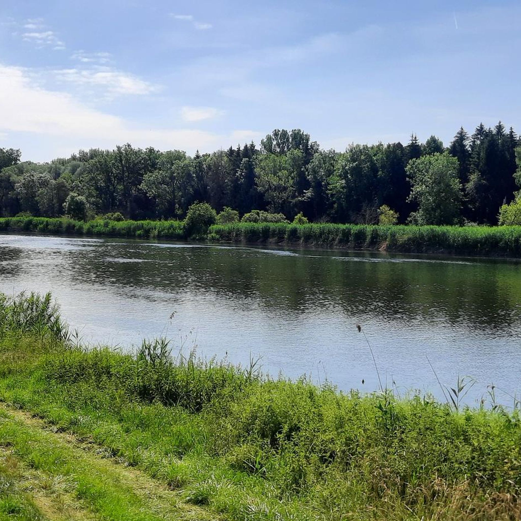
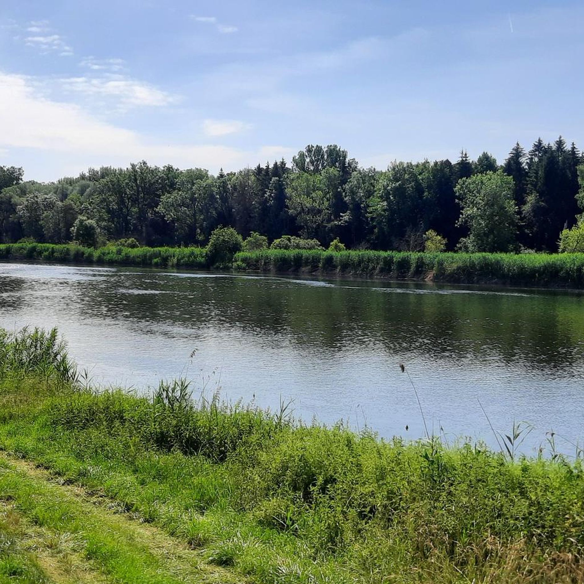
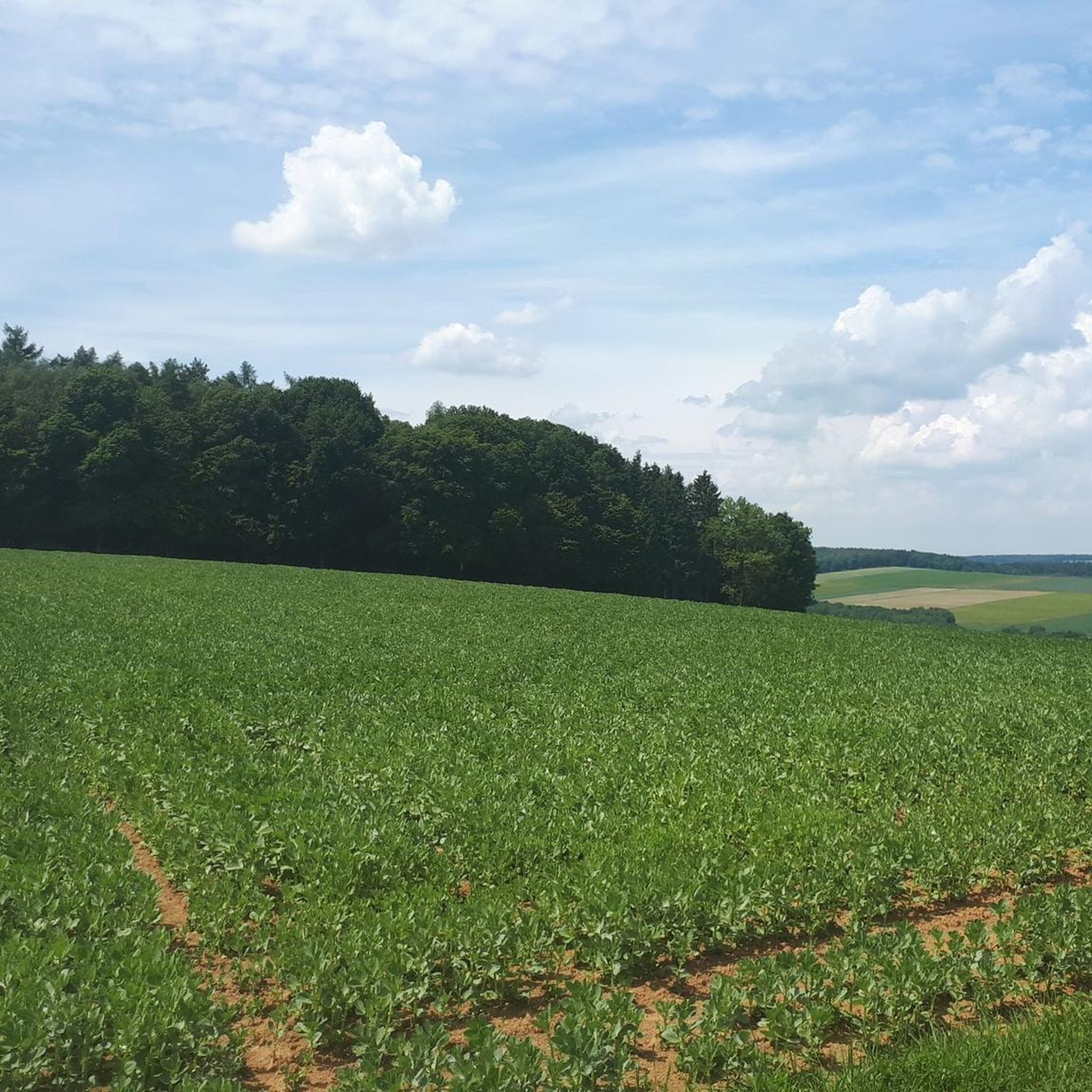
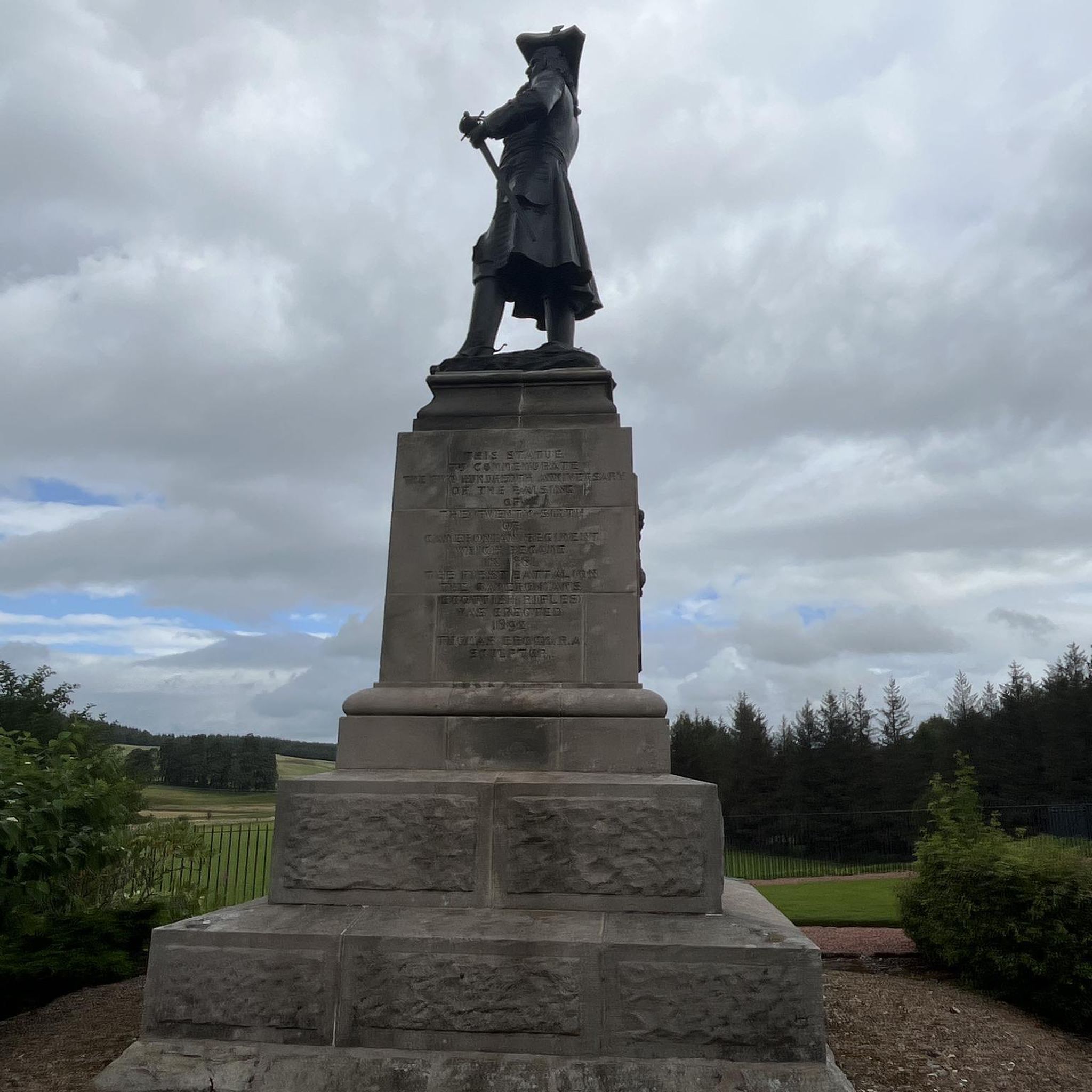
マルクスハイムでのの他の冒険


コミュニティからのヒント

•Construction began in October 2015 •Continuous trial operation from February 2017 •Inauguration in May 2017 •Length: 1,150 m •Located on the left bank of the river around the Bertoldsheim traction power plant on the Danube, overcoming a total elevation difference of up to 7.2 m •Construction costs: €2.85 million •Most complex technical-natural fishway to date in the German section of the Danube •33 kilometers of the river in the section between the Bittenbrunn Danube power plant and the Donauwörth power plant are fish-friendly Explanation of the information panel regarding the Bertoldsheim fishway diagram: The entry structure of the fishway (FAA) is located approximately 500 m below, and the exit structure approximately 150 m above, the power plant. The elevation difference between them is up to 7.20 m, depending on the water level. The Fish's Path Upstream An artificial island in the Danube creates an attracting current and shows the fish the way directly to the entrance (point 1). A 120-meter-long (2) rough channel with 20 naturally designed pools creates a 1.8-meter elevation difference that is passable. The rough channel is connected to the existing bypass (3), which already has the character of a floodplain stream with spawning grounds. As a natural fishway, it is used for fish migration over a distance of 700 meters and overcomes an elevation difference of 60 cm. With its rootstocks, loose gravel, and varied course, it is not only an optimal migration corridor but also an attractive habitat for fauna and flora. Fish find ideal spawning and refuge sites here. The adjoining rough channel basin pass (4), with a length of 210 meters and 39 naturally designed pools, creates a further 3.2-meter elevation difference that is passable for fish. The exit structure is a vertical slot pass (5) constructed using technical construction methods. In 21 staggered concrete basins, the fish can overcome the remaining height difference of up to 1.80 m to the Danube reservoir. The slot pass has six automatically controlled gates (6) to regulate the water flow into the FAA according to the reservoir height. The flow averages 500 liters per second (3.3 bathtubs filled with 150 liters each). A trough structure penetrates the dam and connects the fish ladder to the Danube. Here, the fish return to the Danube above the power plant (7). Fish ladders like this contribute significantly to river continuity, promote river ecology, and the genetic diversity of aquatic life.
1
0

Our turning point for another section of the Danube Cycle Path...
1
0

Beautiful cycle path with a view of the Danube
2
0


It's cool to see that the Danube is much smaller than the Lech!
1
1

Here, too, the Danube Cycle Path leads directly over the dike.
2
0

Dammweg is closed due to construction and cannot be passed
0
0

The Danube turns from a river into a stream
1
0
よくある質問
マルクスハイム周辺にはハイキングコースがいくつありますか?
マルクスハイムには、様々な好みや体力レベルに対応する25以上の多様なハイキングコースがあります。これらのルートは、川沿いの道から森に覆われた丘まで、この地域ならではのユニークな景観を探求します。
マルクスハイム周辺のハイキングでは、どのような地形に出会いますか?
マルクスハイム周辺の地形は非常に多様で、なだらかな丘、絵のように美しい森、レッヒ川とドナウ川沿いの道が特徴です。ドナウサイクリングロードの一部を含む、よく整備されたトレイルがあり、アルトミュールタール自然公園の端を探検する機会もあります。
初心者や気軽に散歩したい人向けの簡単なハイキングコースはありますか?
はい、マルクスハイムには初心者やリラックスした散歩を楽しみたい人に最適な、いくつかの簡単なハイキングコースがあります。特におすすめなのは、マルクスハイム発のマルクスハイム橋ループで、長さは6km強で高低差もほとんどないため、ほとんどの体力レベルの方がアクセス可能です。
見どころとなる景色の良い展望台や自然のランドマークはありますか?
ハイカーは息をのむような景色を楽しむことができます。特に、アルトミュール谷を見下ろす「パノラマブリック」ハイキングコースからは素晴らしい眺望が広がります。レッヒ川とドナウ川の合流点は重要な自然のランドマークであり、マルクスハイム発のレッヒ川とドナウ川の合流点 – ヨハネスマルクト・シュヴァインシュパイントループで体験できます。その他の注目すべき自然の特徴としては、ベイクセンハルト・ロックアーチやガイラッハ渓谷があります。
マルクスハイムには家族向けのハイキングオプションはありますか?
お子様連れのご家族は、この地域を楽しめるでしょう。特に、有名な童話に基づいた様々なステーションがある「メルヘンヴァルト(おとぎの森)」ハイキングコースはおすすめです。マルクスハイム発のマルクスハイム橋ループのような、簡単から中程度の難易度のルートの多くも家族連れに適しています。
マルクスハイムでのハイキングに犬を連れて行っても良いですか?
一般的に、犬はマルクスハイムのハイキングコースで歓迎されますが、特に自然保護区域や野生動物の近くではリードにつないでおく必要があります。常に犬のための水を携帯し、他のハイカーや地域の規制に注意を払うことが重要です。
マルクスハイムでハイキングに最適な時期はいつですか?
マルクスハイムでのハイキングに最適な季節は春と秋です。春は鮮やかな自然の開花を迎え、秋は絵のように美しい紅葉と心地よい穏やかな気温を提供します。夏も、特に川沿いの散策には楽しめますが、暑さに備える必要があります。
マルクスハイムには周回ハイキングコースはありますか?
はい、マルクスハイム周辺のハイキングコースの多くはループ状に設計されており、同じ場所からスタートして終了することができます。人気のベルトルツハイムダム – ベルトルツハイムの眺めループ(マルクスハイム発)や、マルクスハイム発のハイキングループなどがその例です。
他のハイカーはマルクスハイムでのハイキングで最も楽しんでいることは何ですか?
マルクスハイムのハイキングコースは、komootコミュニティから高く評価されており、260件以上のレビューで平均4.4つ星を獲得しています。ハイカーは、多様な景観、ドナウ川とレッヒ川沿いの穏やかな川沿いの道、そして簡単な散策からより挑戦的なルートまでを提供する、よく整備されたトレイルを高く評価しています。
経験豊富なハイカー向けの挑戦的なハイキングコースはありますか?
ほとんどのコースは簡単から中程度ですが、より冒険を求める方のために、シェレンベルクのヴィア・フェラータのような選択肢があり、岩場を越える壮大な景色とより困難な体験を提供します。いくつかの長い巡礼ウォークも、中程度で長距離の挑戦を提供します。
ドナウ川沿いをハイキングする機会はありますか?
もちろんです。レッヒ川とドナウ川の合流点にあるマルクスハイムの立地により、多くのルートで美しい川沿いのハイキング体験ができます。きらめく水面の景色を楽しみ、特にドナウサイクリングロードの一部に沿ってピクニックエリアを利用して休憩することができます。
マルクスハイムでのの人気観光スポット

komootモバイルアプリでインスピレーションを得よう


さらに探索
他の地域の最高のハイキングを見てみましょう。
