ルーダム周辺のおすすめファミリーハイキング&ウォーキング
4.6
(861)
4,726
ハイカー
29
ハイキング
Ludham周辺の家族向けのハイキングコースは、ノーフォーク・ブロッズ国立公園内に位置し、ほぼ平坦な地形にアクセスしやすいルートを提供しています。この地域は、広大な水路、湿地帯、そしてアント川、ブーレ川、サーン川を含む河川網が特徴です。歴史的な泥炭採掘によって形成されたこれらの景観は、わずかな標高変化で多様な環境を提供します。このエリアには、自然の景観と史跡を結ぶ、公共の歩道網が整備されています。
Ludham周辺の家族向けハイキングコース ベスト
- 最も人気のある家族向けのハイキングコースは、リバー・アント・ループ(Ludham発)で、距離6.4マイル(10.2 km)、所要時間2時間36分です。この適度な難易度のルートはアント川沿いを走り、周囲の湿地の景色を楽しめます。
- 地元のハイカーに人気のもう一つのコースは、ハウ・ヒルからセント・ベネッツ修道院へ – ブロッズのベストウォーキングで、適度な難易度の6.6マイル(10.7 km)のコースです。このトレイルはハウ・ヒル・エステートとセント・ベネッツ修道院の歴史的な遺跡を結び、ブロッズ特有の景観を横断します。
- 地元のハイカーに愛されているもう一つのコースは、ターフ・フェン排水風車 – Ludham発リバー・アント・ループで、距離4.7マイル(7.5 km)、所要時間約1時間54分です。このコースは、沼地の景観を抜け、アント川沿いを走ります。
- Ludham周辺のハイキングは、静かな水路、多様な湿地と沼地の景観、そして歴史的なランドマークが特徴です。広範なトレイルネットワークは、簡単な散策から長めの適度な難易度のルートまで、様々なレベルのオプションを提供します。
- Ludhamのルートは、700件以上のレビューから平均4.6つ星という高評価をkomootコミュニティから受けています。4000人以上のハイカーがkomootを利用して、Ludhamの多様な地形を探検しました。
最終更新日: 8月 24, 2026
4.2
(23)
98
ハイカー
10.2km
02:36
30m
30m
Hike the River Ant loop from Ludham for a moderate 6.4-mile (10.2 km) journey through the flat, picturesque Norfolk Broads. This route offers continuous riverside views, winding through fen landscapes…
4.5
(11)
88
ハイカー
10.7km
02:43
30m
30m
中程度のハイキング. ある程度のフィットネスレベルが必要です。 進みやすいルートです。あらゆるスキルレベルに適しています。

無料新規登録
4.8
(15)
74
ハイカー
7.51km
01:54
20m
20m
初級者向けハイキング. あらゆるフィットネスレベルに適しています。 進みやすいルートです。あらゆるスキルレベルに適しています。
4.8
(8)
60
ハイカー
7.05km
01:47
20m
20m
初級者向けハイキング. あらゆるフィットネスレベルに適しています。 進みやすいルートです。あらゆるスキルレベルに適しています。
5.0
(2)
32
ハイカー
14.8km
03:46
30m
30m
中程度のハイキング. ある程度のフィットネスレベルが必要です。 進みやすいルートです。あらゆるスキルレベルに適しています。
さらに多くのルートや他のユーザーのおすすめ情報を確認できます。
無料新規登録
すでにアカウントをお持ちですか?
おすすめのツアーは他のkomootユーザーが実際に経験した何千ものアクティビティに基づいています。
無料アカウントで今日から始めよう
次の冒険が待っています。
ログインまたは登録


コミュニティからのヒント

Owned by the Norfolk Archaeological Trust, the ruin of St Benet's Abbey is an evocative sight. At the height of the 12th century, this monastery would have been a major force in the region. Today, the remains stand silent on the banks of the River Bure, testament to a former glory.
1
0
One of three official visitor centres in the Broads, Toad Hole Cottage is full of information regarding the national park. This delightful marshman's cottage was inhabited during Victorian times and has been left in its original state, allowing visitors to imagine what it was like to live and work here. You can also buy tickets for a local wildlife walking trail.
0
0

Things to know: First of all, it is a delightful walk. If you begin at Ludham Bridge, there are plenty of places to park along the road. They are free parking pull-outs, so you're not exposed to parking on a narrow street. There is a bakery and public toilets. Although the walk parallels the river, you're not really next to it, except for a couple of spots. Nonetheless it's still very picturesque. Most of the path was easy to navigate accept for one short stretch where the tall grass had obscured the trail. It was very short, and if you look to your left, you'll see the posts of a short bridge, so just aim for that. At about the halfway point is How Hill Estate. It's rather a dramatic building with a thatched roof. Unusual for a building that size. I think you can get a room there if you're not from the area. There's a large lawn there, a place to watch the boats and, most importantly, public toilets and take-away café. It can be busy on the weekends so pick your day. Although we were there on a Sunday in July and it wasn't bad. Then it's back the way you came. FYI The Dog pub is just a short, safe, walk up the road from the start/end of the walk, in case you're interested.
0
0

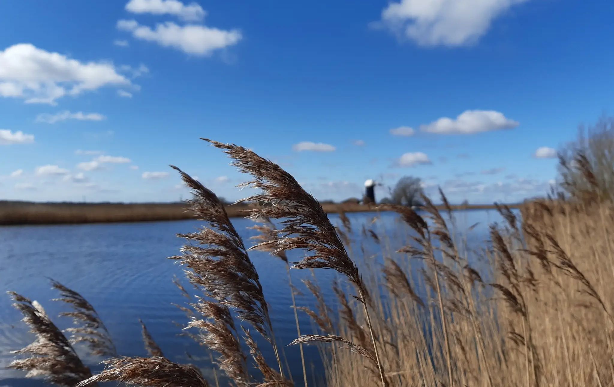
Only reachable by boat across the River Ant, Turf Fen Drainage Mill is an attractive 19th-century windmill. It was built to drain the marsh behind it so that livestock could graze on the land. It has been restored by the Norfolk Windmills Trust, after falling out of use in 1920.
0
0


Lovely hidden gem with superb views, a great tea room and delightful gardens. There's also Toad Hole Cottage Museum by the River Ant, which offers excellent walks and has several windmills to admire. https://howhilltrust.org.uk/
0
0

In 1019, King Canute granted the manors of Horning, Ludham and Neatishead to a group of monks to establish an Abbey. One thousand years later, St Benet’s Abbey is still an iconic site for people visiting the area. Hailed for its beauty, serenity and history, the ruins are a must-see if you are nearby.
1
0
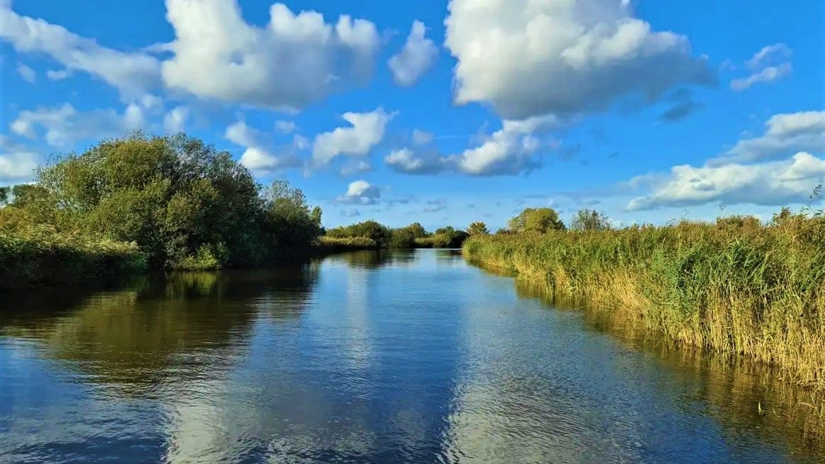
At just 17 miles (27 kilometres) long, the River Ant is one of the shortest, and narrowest, rivers in The Broads. Don't let its size put you off, though. When you hike along this divine stretch of the river, with sunshine reflecting in the crystal clear waters and the occasional boaters drifting past, it really is a slice of rural idyll. There are plenty of spots to relax along the banks, too.
3
0
よくある質問
Ludham周辺には、家族向けのハイキングコースはいくつありますか?
Ludhamには、家族向けの素晴らしいハイキングコースが豊富にあります。当ガイドでは28のルートを紹介しており、そのうち15は初心者向けに評価されており、あらゆる年齢の子供を持つ家族に最適です。
Ludhamでの家族ハイキングでは、どのような地形が予想されますか?
Ludham周辺の地形は、ノーフォーク・ブロードの特徴である、概して平坦です。湿地帯を縫うように続く小道、アント川やブーレ川沿い、そしてフェン(低湿地)の景観が広がっています。これにより、高低差がほとんどなく、家族連れでもアクセスしやすく楽しい散策ができます。
小さなお子さんや幼児連れの家族に適した、簡単な周回コースはありますか?
はい、Ludhamにはいくつかの簡単な周回コースがあります。おすすめのオプションは、Ludham発、Turf Fen Drainage Mill – River Ant in The Broads ループです。このコースは初心者向けに評価されており、象徴的な排水用風車と川沿いの美しい景色を楽しめます。
Ludham近郊の家族ハイキングで、どのような興味深いランドマークや自然の特徴を見ることができますか?
Ludhamのトレイルからは、ブロードならではのユニークなランドマークを垣間見ることができます。歴史的なHorsey Windpump、St. Benet's Abbeyの遺跡、または絵のように美しいHow Hill Windmill and Nature Reserveなどが見られるかもしれません。広大な川と湿地のネットワーク自体が、野生生物の宝庫である自然のハイライトです。
Ludham周辺の家族向けトレイルは、犬同伴でも大丈夫ですか?
ノーフォーク・ブロードの多くのトレイルは犬同伴可能ですが、特に自然保護区内や家畜の近くでは、常にリードにつないでおくのが最善です。平坦な地形と広々とした空間は、愛犬を含む家族全員にとって楽しい散策を可能にします。特定の制限については、必ず現地の標識をご確認ください。
Ludhamで家族とハイキングに行くのに最適な時期はいつですか?
Ludhamは一年中美しいですが、家族連れでの外出には、日照時間が長く野生生物が活発になる春と夏が最高の気候です。秋には風景に鮮やかな色彩が加わります。冬の散策は爽やかで静かですが、ぬかるんだ道に備える必要があります。
家族向けルート沿いに、カフェやパブのような休憩できる場所はありますか?
Ludhamの村には、パブやカフェなどの地元のアメニティがあります。特定のルートに直接立ち寄れる場所がない場合もありますが、多くのトレイルは村の近くから始まったり終わったり、あるいは短時間の寄り道で家族向けの休憩場所に行けるエリアを通っています。Ludham発、River Ant ループは村で始まり村で終わるので、検討してみてください。
Ludhamでの家族向けハイキングについて、他のハイカーが最も楽しんでいる点は何ですか?
このエリアはkomootコミュニティから高く評価されており、平均スコアは4.6つ星です。レビューでは、静かな川沿いの小道、ブロードならではのユニークな景色、そしてあらゆる年齢層にとってのトレイルのアクセスの良さが頻繁に称賛されており、リラックスした家族の冒険に最適な場所となっています。
Ludhamのトレイルヘッドにアクセスするための公共交通機関はありますか?
ノーフォーク・ブロード内のLudhamおよびその周辺地域への公共交通機関はありますが、都市部ほど頻繁ではない場合があります。地元のバスサービスがLudhamをより大きな町と結んでいます。How HillやSt. Benet's Abbeyのような特定のトレイルヘッドについては、事前に地元のバス時刻表を確認することをお勧めします。
年長のお子さんや、よりアクティブな家族向けの、より長い家族ハイキングコースはありますか?
より長い冒険を求める家族には、How HillからSt. Benet’s Abbeyへ – ブロードのベストウォークルートがおすすめです。これは中程度の難易度で、10.7km(6.6マイル)のトレイルで、ブロードの風景を通り抜け、歴史的な修道院の遺跡へと続くやりがいのある旅を提供します。
Ludham周辺のノーフォーク・ブロードでのハイキングに特別な許可証は必要ですか?
一般的に、ノーフォーク・ブロード国立公園内の公共の歩道や馬道でのハイキングに特別な許可証は必要ありません。ただし、私有地には常に敬意を払い、カントリーサイド・コードに従ってください。特定の自然保護区や私有地には独自の規則がある場合があるため、指定されたルートから外れる場合は確認することをお勧めします。
ルーダムでのの人気観光スポット

komootモバイルアプリでインスピレーションを得よう


さらに探索
他の地域の最高のハイキングを見てみましょう。
