マグデンのおすすめウォーキング&ハイキングルート
4.5
(144)
695
ハイカー
50
ハイキング
マグデン周辺でのハイキングは、景色を満喫するのに最適な手段のひとつですが、適切なハイキングルートを見つけることは簡単ではありません。 マグデン周辺の人気ハイキング&ウォーキングコースを参考にすれば、行きたいルートをすぐに見つけられます。
最終更新日: 10月 18, 2026
4.4
(15)
42
ハイカー
9.25km
02:48
300m
300m
中程度のハイキング. ある程度のフィットネスレベルが必要です。 進みやすいルートです。あらゆるスキルレベルに適しています。
4.9
(9)
47
ハイカー
6.80km
01:54
130m
130m
初級者向けハイキング. あらゆるフィットネスレベルに適しています。 進みやすいルートです。あらゆるスキルレベルに適しています。

3.8
(13)
48
ハイカー
4.19km
01:20
170m
170m
初級者向けハイキング. あらゆるフィットネスレベルに適しています。 進みやすいルートです。あらゆるスキルレベルに適しています。
4.6
(5)
32
ハイカー
9.57km
02:43
220m
220m
中程度のハイキング. ある程度のフィットネスレベルが必要です。 進みやすいルートです。あらゆるスキルレベルに適しています。
5.0
(3)
15
ハイカー
5.16km
01:42
240m
240m
初級者向けハイキング. あらゆるフィットネスレベルに適しています。 進みやすいルートです。あらゆるスキルレベルに適しています。
さらに多くのルートや他のユーザーのおすすめ情報を確認できます。
すでにアカウントをお持ちですか?
おすすめのツアーは他のkomootユーザーが実際に経験した何千ものアクティビティに基づいています。
無料アカウントで今日から始めよう
次の冒険が待っています。

コミュニティからのヒント

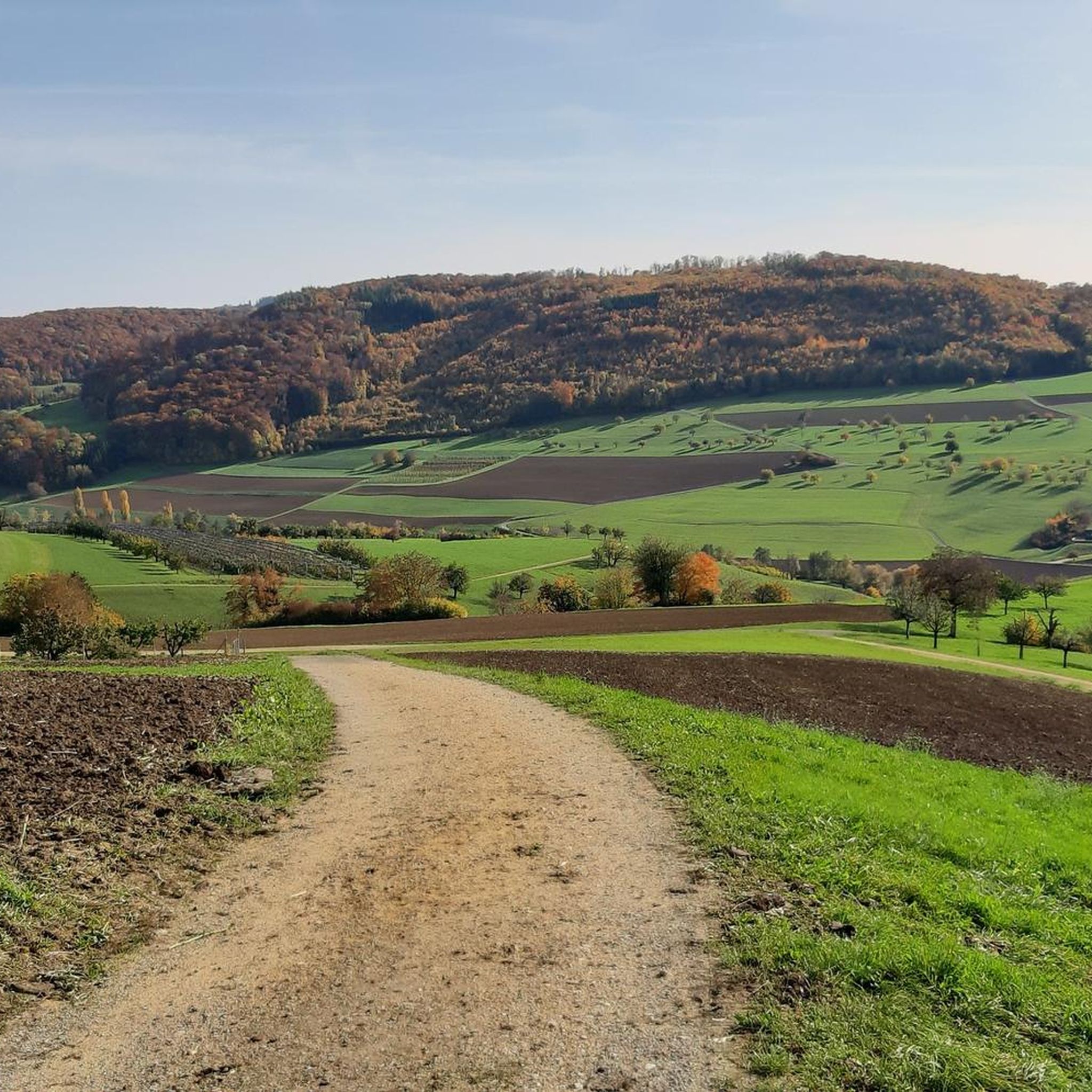
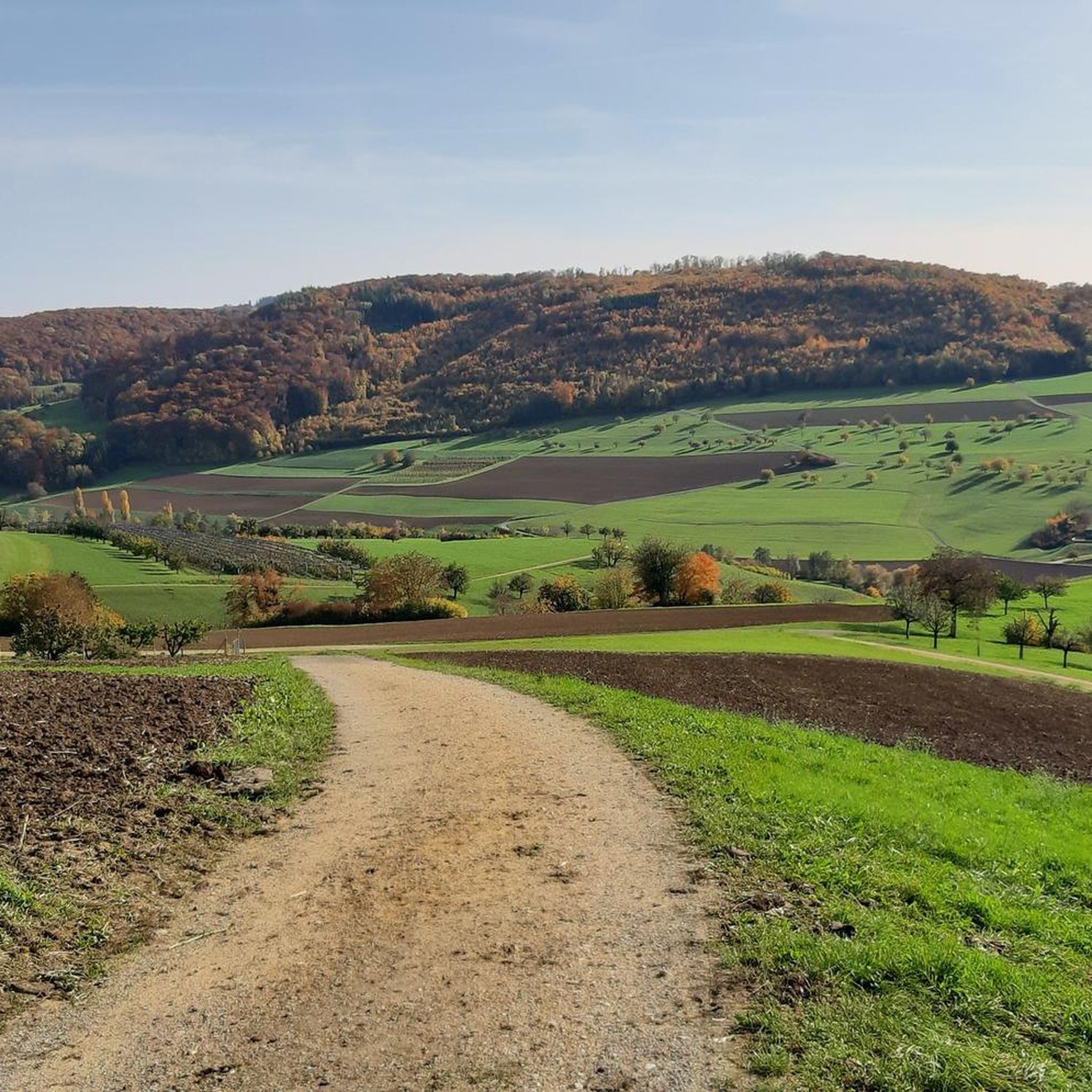
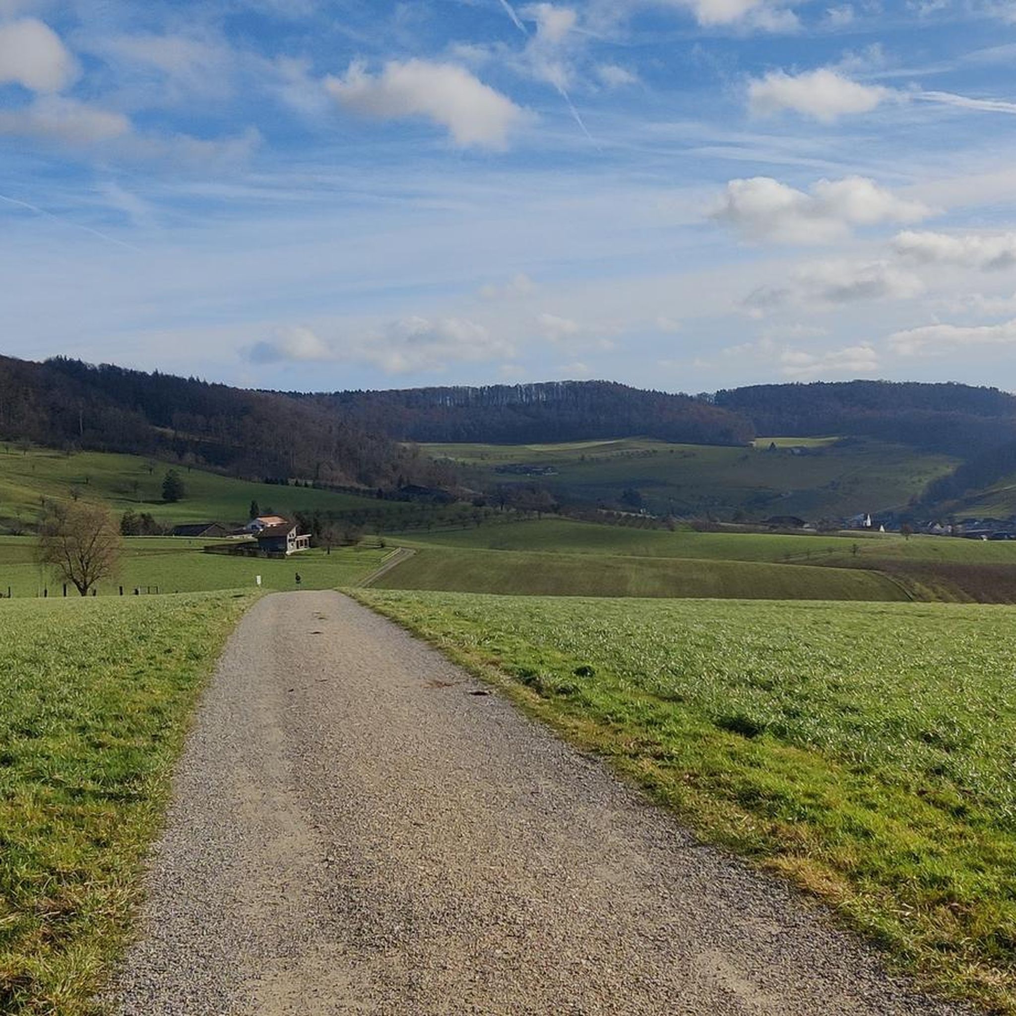
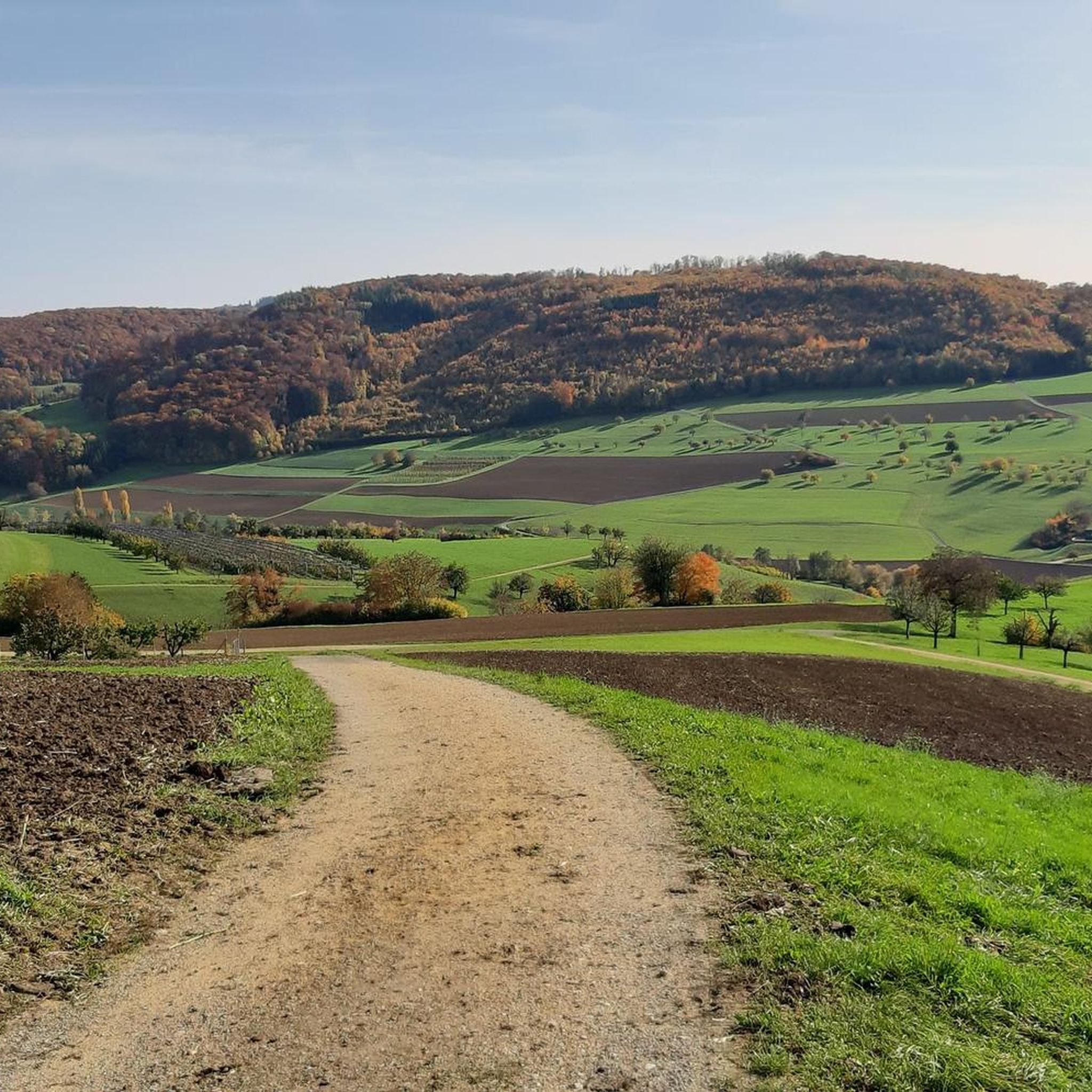
フリックタール高地道は、フリックタール、アールガウ州にある変化に富んだハイキングコースです。このルートは、景色の良い尾根、森、牧草地、そして典型的なフリックタールの村々を通り抜け、自然、文化、そして美しい展望ポイントを結びつけています。特に人気なのは、ライン川渓谷、ジュラ山脈、そして天気が良ければアルプスまで見渡せる広大な眺めです。有名な見どころとしては、マグデンの上にあるゾンネンベルク塔や、道沿いの様々な歴史的で景観的に魅力的な区間などがあります。高地道は、日帰りハイキングにも個々の区間にも適しており、自然体験と快適な休憩所のバラエティ豊かな組み合わせを提供しています。
0
0


The canton of Aargau now runs a special needs school in the former Cistercian convent. Children and young people who are unable to attend public schools due to learning and behavioral difficulties are cared for and supported there.
0
0

I took a small detour through the forest so I wouldn't have to walk in the blazing sun. Wonderful and truly fascinating paths, though some are quite steep. Still, the view from the top of the tower is worth it; outstanding! (The coin box for entry is in the archway at the entrance—I couldn't resist it and, of course, gave a large coin!) On the way back, I also recommend taking path 4 instead of the busy road—along the tank barriers, including a seating area about halfway along the path.
1
0

Above Arisdorf lies the "Hausi-Hof," a farm with extensive livestock and lush orchards. Directly at the bend in the path next to the long barn, the attentive hiker is treated to a view between two worlds. On the one hand, there is the lovely green and white-dotted hilly landscape (April cherry blossom season) surrounding Arisdorf, and on the other, the mechanized scenery of Basel, dominated by high-rise buildings and chemical factories. It is an impressive and stirring experience to see these two worlds so close together: heaven and hell. nature and humanity. future and past.
0
0
Once a year, when the cherry trees wear their white wedding dress, the Baselbieter village of Arisdorf transforms into a scenic dream of green and white fields, meadows, and hills. The "Chriesiweg" (Cherry Trail) runs right through the center, sometimes up, sometimes down, sometimes left, sometimes right. Anyone who visits this idyllic village at the end of March, or better yet, at the beginning/mid-April, depending on the weather, will witness a unique natural spectacle. Words can hardly do it justice. You simply have to see it with your own eyes. The Chriesiweg begins at the Arisdorf church and is approximately 8 kilometers long. There is a signposted shorter version that is just 5 kilometers long. A detour into the village is worthwhile, by the way. Many houses here still look like they date back to the 18th century. If you want to treat yourself to something special, you absolutely have to stop by the "Ernst Zuber" specialty distillery in the old mill.
0
0

komootモバイルアプリでインスピレーションを得よう


さらに探索
他の地域の最高のハイキングを見てみましょう。
