パルコナチュラーレデルモンテトレデンティ-フライドール周辺のアトラクション&必見スポット - トップ13
パルコナチュラーレデルモンテトレデンティ-フライドールには必見のスポットがたくさんあります。ハイキング愛好家やサイクリング愛好家の方は、ぜひパルコナチュラーレデルモンテトレデンティ-フライドールを探索してこのエリアにある13
の隠れたスポットを訪れてみてください。このエリアの必見スポットを確認し、次の冒険に出かける計画を立てましょう。
最終更新日: 10月 11, 2026
モンテ・フレイドゥールのRAF記念碑
ハイライト • 山頂
翻訳者 Google •
役立つ情報 は

モンテ・セッテ・コンフィーニ
ハイライト • 山頂
翻訳者 Google •
役立つ情報 は

今すぐサインアップして、こんな場所を発見しよう
最高のシングルトラック、ピーク、その他のエキサイティングなアウトドアスポットのおすすめを受け取ろう。
Colle Pra L'Abbà
ハイライト • 山道
翻訳者 Google •
役立つ情報 は

カッペラ・マドンナ・デッラ・ネーヴェ(モンテ・トレ・デンティ)
ハイライト • 宗教的な場所
翻訳者 Google •
役立つ情報 は

Pista Morelli
ハイライト (セグメント) • MTBパーク
Requires maintenance.
翻訳者 Google •
役立つ情報 は

無料でサインアップして、さらに多くの観光スポットを発見しましょう パルコナチュラーレデルモンテトレデンティ-フライドールでの。
すでにアカウントをお持ちですか?
無料アカウントで今日から始めよう
次の冒険が待っています。
コミュニティからのヒント

colle posto lungo la salita per la cima del Freidour
0
0

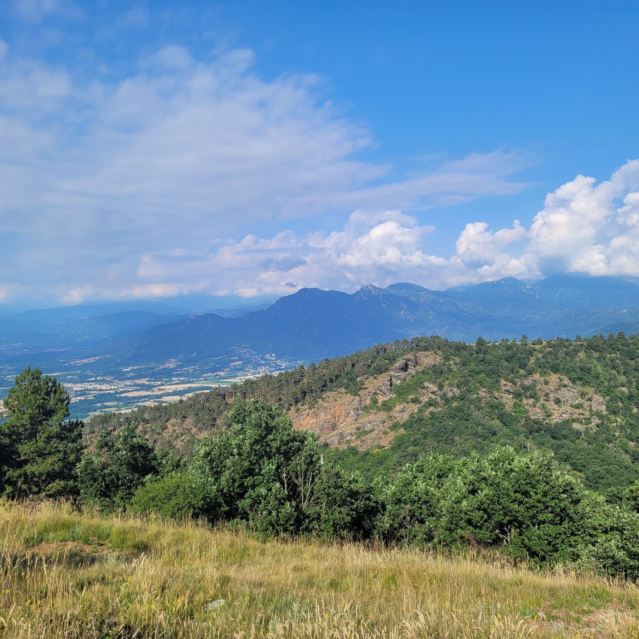
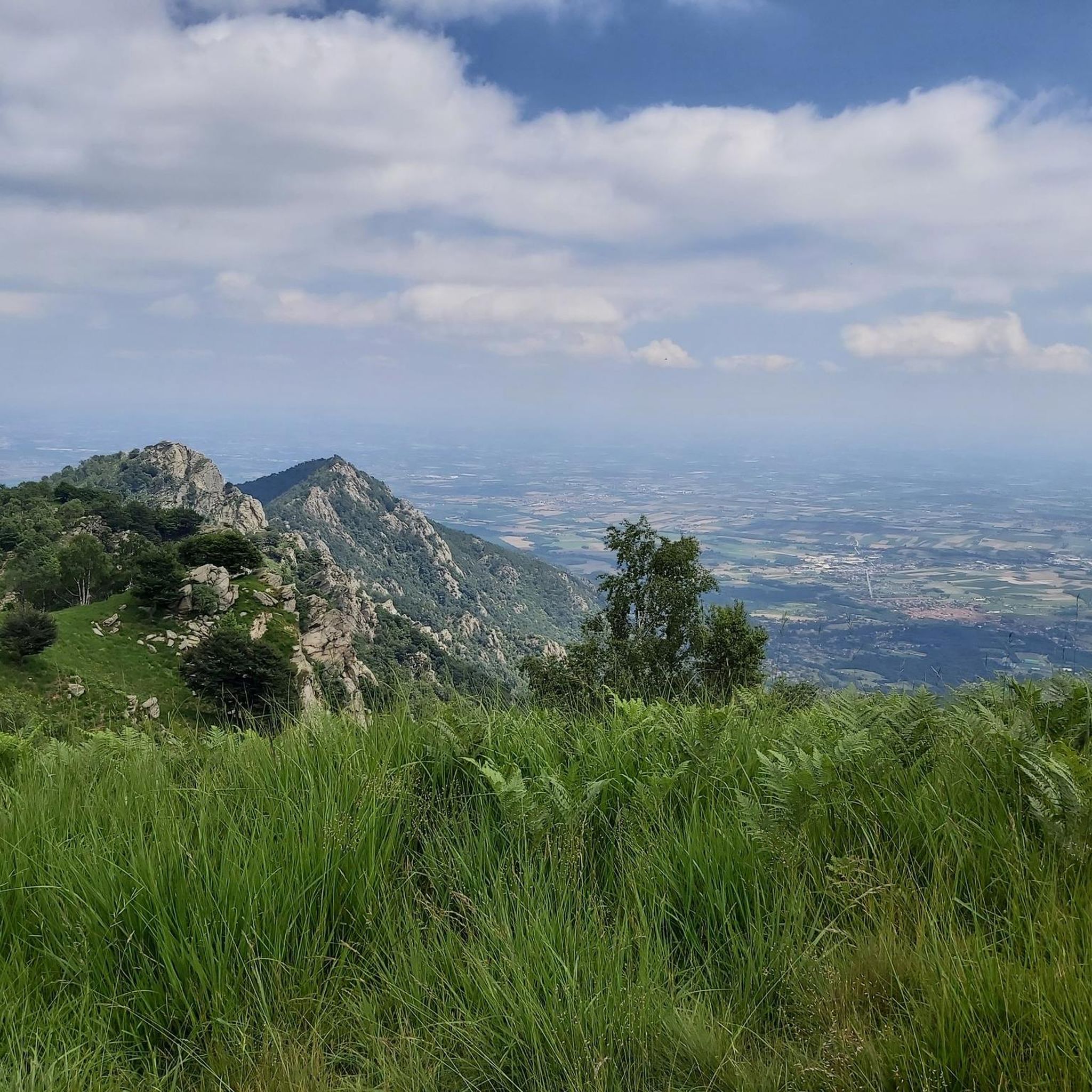
Mount Sette Confini (1,358 m above sea level) is a mountain in the Monginevro Alps in the Cottian Alps, located in Piedmont. The mountain is located at the convergence of three valleys: Val Chisola to the north and northeast, Val Noce to the south and the Grandubbione valley to the west. Colle Sperina separates it from Mount Freidour along the Noce/Chisola watershed, Colle Prà l'Abbà from Mount Sartonet along the Chisola/Dubbione watershed and Colle Colletto separates it from Mount Fajè following the Noce/Dubbione watershed, in the direction of Colle del Crò. The relief is mainly covered by thick broad-leaved forests, which thin out on the southern slope. Near the summit there is a commemorative plaque dedicated to the incident where some Royal Air Force soldiers died on nearby Mount Freidour.
0
0

Path currently in less than optimal conditions, in several sections there are deep ruts dug by water and the passage of bicycles and motorbikes. Requires maintenance.
0
0

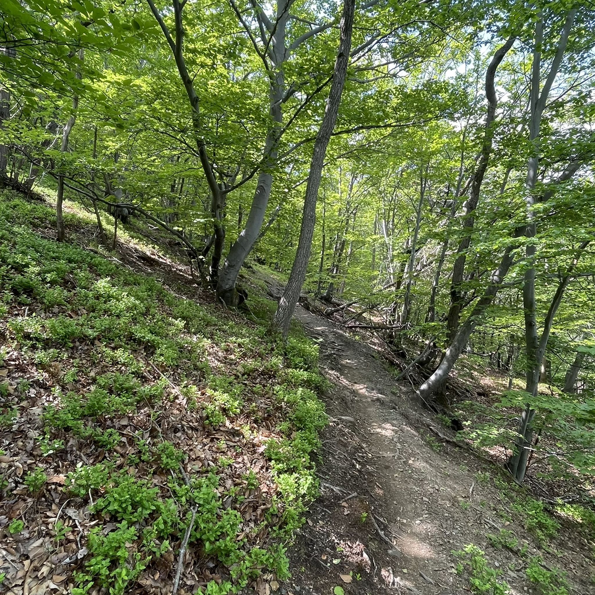
Beautiful white road immersed in the beech forest that connects Colle Colletto to Colle del Besso passing through Pra l'Abbà and Ceresera. From Colle Ceresera to Besso the gradients become very significant. but a couple of spectacular panoramic points on the Viso make the effort worth it.
1
0

In the wooden box, in addition to some books, there is a notebook and a pen to leave a greeting
2
0
Pianoro with benches and tables, ideal for stopping and deciding in which direction to continue
2
0

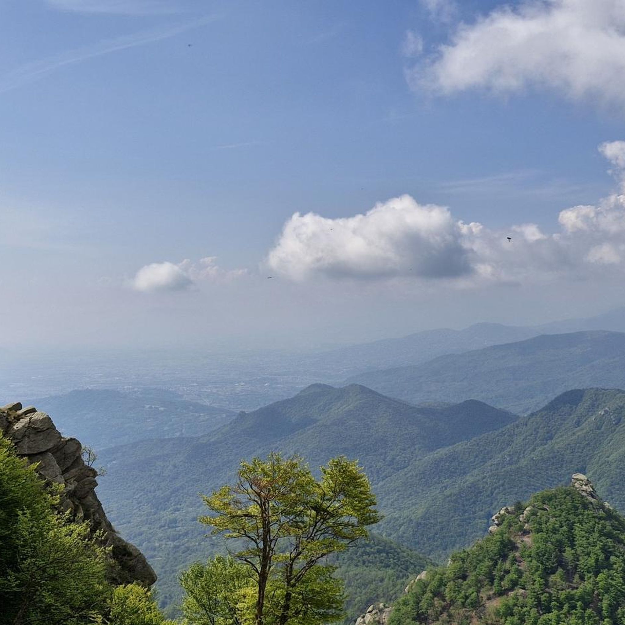
The arrival point of the vertical km, with the Madonna della Neve chapel placed at the top and which can be visited freely, is the most important tooth of the 3, which make up the district of the 3 teeth of Cumiana. From Colle della Bessa, the climb is very steep and at times on stony ground with a stretch of fixed rope at the end, but in the absence of ice, snow or wet rock, it remains a difficult climb.
2
0

The mountain is located at the convergence of three valleys: Val Chisola to the north and north-east, Val Noce to the south and the Grandubbione valley to the west. Colle Sperina divides it from Monte Freidour along the Noce / Chisola watershed, Colle Prà l'Abbà from Monte Sartonet along the Chisola / Dubbione watershed and Colle Colletto separates it from Monte Fajè following the Noce / Dubbione watershed, in the direction of Colle del Crò. [1] The relief is mainly covered by dense broad-leaved woods, which thin out on the southern slope. Near the top there is a commemorative plaque dedicated to the incident where some Royal Air Force soldiers perished on nearby Mount Freidour. The mountain takes its name from the fact that "seven municipalities converge there with their territories". However, it should be noted that currently the municipalities that actually converge on the top of the mountain are only four: Cumiana, Pinasca, Pinerolo and Frossasco. Even the municipal territory of Giaveno (which goes as far south as the Sperina hill) and that of San Pietro Val Lemina (which reaches as far as the Colle Colletto) are very close to the top of the mountain, while those of Roletto and Cantalupa remain more secluded. Monte Sette Confini represents the highest elevation reached by the territory of the municipality of Pinerolo.
0
0
パルコナチュラーレデルモンテトレデンティ-フライドールでのの人気ルート
パルコナチュラーレデルモンテトレデンティ-フライドールでのの人気観光スポット

komootモバイルアプリでインスピレーションを得よう


さらに探索
まだ探しているハイライトが見つかりませんか?他の地域のトップアトラクションのガイドを見てみましょう:
