ウォーキンガム周辺のおすすめ犬連れハイキング&ウォーキング
4.4
(519)
5,162
ハイカー
14
ハイキング
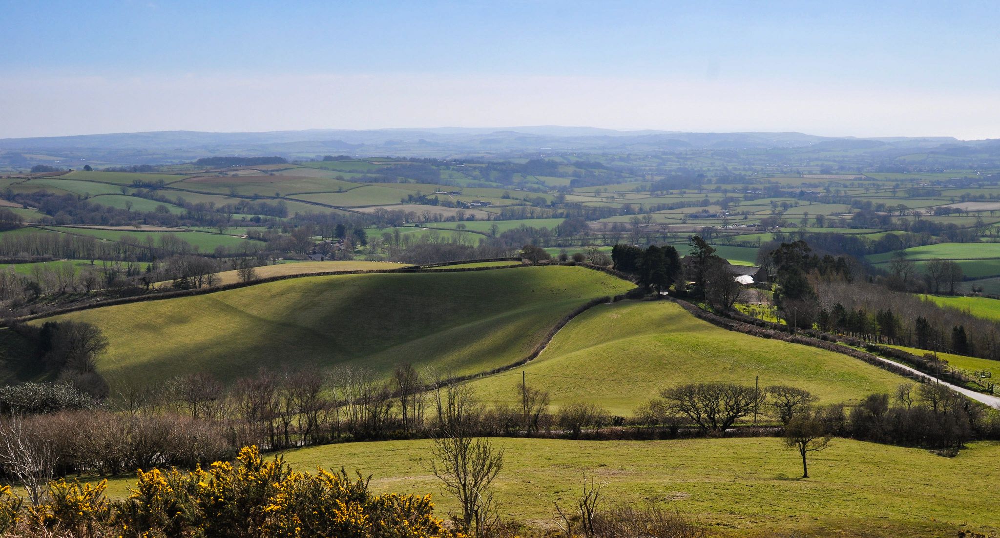
犬に優しいウォーキングコースは、屋外での探検に多様な景観を提供します。この地域には広大な森林、静かな荒野、絵のように美しい川の谷があり、ハイカーに変化に富んだ地形を提供します。トレイルは、静かな小道と広大な景色を提供するGorrick WoodやFinchampstead Ridgesのようなエリアをよく通ります。Blackwater川もこの地域を流れ、景色の良いルートに貢献しています。
Wokingham周辺の犬に優しい最高のウォーキングコース
- 最も人気のある犬に優しいウォーキングルートは、Finchampstead発のLongmoor Lake – Memorial Benchループです。この5.7マイル(9.1 km)のトレイルは、完了までに2時間19分かかります。この適度な難易度のルートは、湖の周りと地元の森林を通る快適な小道を提供します。
- 地元のハイカーに人気のもう一つのコースは、Shinfield発のBarrett's Lane Ford – Coombes Laneループです。これは適度な難易度の8.8マイル(14.2 km)のトレイルです。このトレイルは、Shinfield周辺の田園風景と静かな小道を探索します。
- 地元のハイカーに人気のもう一つのコースは、Finchampstead発のJackson's California Lake Café – Longmoor Lakeループです。この4.0マイル(6.5 km)のトレイルは、古代の沼地を通り抜け、California Lakeの周りを巡り、通常約1時間39分で完了します。
- Wokingham周辺のハイキングは、緑豊かな森林、広大な荒野、穏やかな川の谷が特徴です。このネットワークは、簡単な散歩から適度な長さのハイキングまで、さまざまなレベルのオプションを提供します。
- Wokinghamのルートは、komootコミュニティから高く評価されており、450件以上のレビューから平均4.3つ星を獲得しています。5000人以上のハイカーがkomootを使用して、Wokinghamの多様な地形を探索しました。
最終更新日: 10月 14, 2026
3.6
(5)
46
ハイカー
8.92km
02:17
30m
30m
中程度のハイキング. ある程度のフィットネスレベルが必要です。 進みやすいルートです。あらゆるスキルレベルに適しています。
4.5
(4)
18
ハイカー
14.2km
03:41
90m
90m
中程度のハイキング. ある程度のフィットネスレベルが必要です。 進みやすいルートです。あらゆるスキルレベルに適しています。

4.3
(3)
17
ハイカー
14.3km
03:42
80m
80m
中程度のハイキング. ある程度のフィットネスレベルが必要です。 進みやすいルートです。あらゆるスキルレベルに適しています。
4.3
(4)
14
ハイカー
6.90km
01:49
60m
60m
初級者向けハイキング. あらゆるフィットネスレベルに適しています。 進みやすいルートです。あらゆるスキルレベルに適しています。
4.5
(2)
15
ハイカー
初級者向けハイキング. あらゆるフィットネスレベルに適しています。 進みやすいルートです。あらゆるスキルレベルに適しています。
さらに多くのルートや他のユーザーのおすすめ情報を確認できます。
すでにアカウントをお持ちですか?
おすすめのツアーは他のkomootユーザーが実際に経験した何千ものアクティビティに基づいています。
無料アカウントで今日から始めよう
次の冒険が待っています。


コミュニティからのヒント

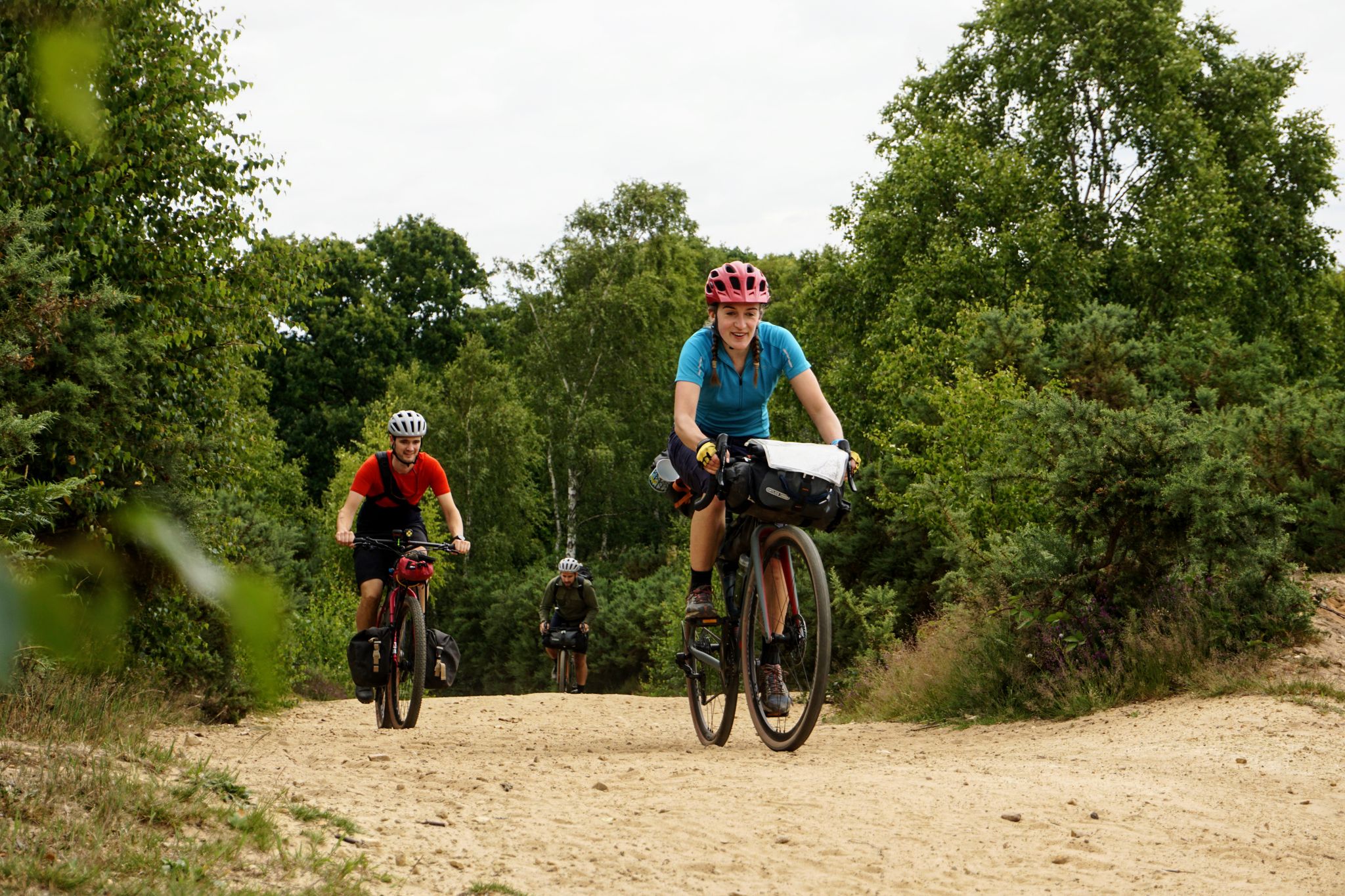
Approaching Coombes Lane from the east, the light begins to change. The shadows stretch too long, too early. The gravel beneath your wheels seems to hum—low, nearly imperceptible, like a pressure change behind your ears. Some say it’s just the trees. Others claim it’s a localized temporal anomaly, like brushing the edge of a vortex or slipping sideways through time. Either way, once you cross the threshold, things feel different. This junction once marked part of the old Bearwood estate. Before the event, “Bearwood” might’ve referred to ancient bear hunts across the land. Now it seems to describe the path itself—bare, worn, and faintly haunted by old instincts. Stripped-back gravel flows down the sandy track, smooth enough for fast two-wheel traversal—if you don’t stop moving. The lane runs tight along the perimeter of a forgotten golf course, its greens now gone to seed. Golf Men still roam there—solitary figures locked in endless loops, trailing white objects with ritualistic obsession. No one knows if they ever finish a round, but the low groans they emit suggest occasional joy, frequent regret, and a heavy air of bunked sadness. Keep your distance. Don’t try to help. And above all, don’t retrieve the ball. Reports of large wild cats once circulated here. Some say they’re still around—shadows with tails, low to the ground, seen only between blinks. Add that to the interference in your comms, occasional compass spin, and persistent sense of déjà vu, and Coombes Lane earns its reputation. A hidden bunker is rumored somewhere near the lane, though most agree it’s more likely the ghost of an ancient Roman outpost. Caesar’s Camp isn’t far off, and the landscape still holds the scars of older empires. Byways peel off into Barkham Woods, a tangled sprawl of secondary paths, watchpoints, and blind corners. Good for exploration. Also good for ambushes. Z movement has been mapped here. Canine patrols, too—some with collars, some without. Assume neither is friendly. This trail was once favored by the Finchmen—a band of gravel-bike scavengers known for their speed, discipline, and strict adherence to the old countryside code. You’d do well to ride in their spirit: leave no trace, close all gates, pack out your trash, and never—ever—feed the Golf Men. If you’re looking for quiet exploration with a side of strangeness and the feeling that time might not run quite right here… Coombes Lane delivers.
0
0

Great café/diner. Huge portion bacon/sausage sandwich. Arrive by bike or on foot, the car-park charges (Wokingham Borough Council) are extortionate!!
0
0
Now re-opened after a fire which destroyed their cellar. They have draught cider, lager and Guinness. The bitters are in bottles, for now.
0
0
Unfortunately, the local council (Wokingham) despite resurfacing the Coombes' byways (very well) have not done anything about the steps on the footbridge here.
0
0

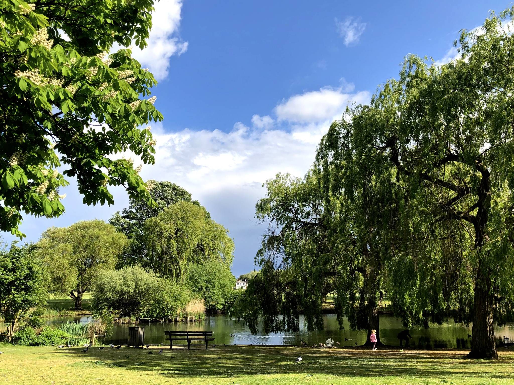
This lake, located next to California Country Park, offers a peaceful trail that surrounds it, allowing you to enjoy beautiful views of the lake and the wildlife that resides in it. It's a lake that was excavated in the 19th century for brickmaking purposes.
1
0
This section of the path runs from Gravelpithill Lane to Coombes Lane, and throughout the entire route, you'll have the Bearwood Lakes Golf Club on your left, allowing you to enjoy stunning views. This stretch is part of The Coombes Circular Walk.
0
0
This Reading Room in Arborfield was opened in the late 19th century and, besides being a library and a place of study, sometimes served as a concert hall. It is currently a private residence.
1
0
This memorial stone pays tribute to the post that was recently discovered during excavations in 2019 while building a road. It was a structure that was part of a national network and was built in 1961 for the Royal Observer Corps (ROC).
1
0
よくある質問
Wokingham周辺には、犬同伴可能なハイキングコースがいくつありますか?
Komootでは、Wokingham周辺で犬同伴可能なハイキングコースを11件提供しています。これらのコースは、簡単な散歩からやや本格的なハイキングまで幅広く、あらゆる犬と飼い主さんに適したものが揃っています。
Wokinghamの犬同伴可能なハイキングコースでは、どのような地形が楽しめますか?
Wokinghamの犬同伴可能なトレイルは、緑豊かな森、静かなヒースランド、絵のように美しい川沿いの谷など、多様な地形が特徴です。Gorrick WoodやFinchampstead Ridgesのようなエリアの小道では、森の小道から開けたヒースランドまで、様々な路面が見られます。一部のトレイルは、River Blackwater近くのような川岸に沿っています。
Wokinghamには、老犬や子犬に適した簡単な犬の散歩コースはありますか?
はい、Wokinghamには老犬、子犬、またはよりリラックスした外出を求める方に最適な、簡単な犬同伴可能な散歩コースがいくつかあります。特におすすめなのは、Finchampstead発のJackson's California Lake Café – Longmoor Lake ループで、高低差が少なく、6.4kmの簡単なコースです。
Wokinghamで犬と一緒にハイキングする際に楽しめる景色の良い見どころはありますか?
Wokinghamの犬同伴可能なトレイルの多くは、美しい自然エリアを通過します。California Country Parkの古代の泥炭地や低地のヒースランドを探索したり、Finchampstead Ridgesからのパノラマビューを楽しんだりできます。この地域には、いくつかの湖もあり、その中にはバークシャー唯一の酸性湖であるユニークなHeath Lakeもあり、一部のルートで発見できます。
Wokinghamには、犬同伴可能な周回コースはありますか?
はい、Wokinghamの犬同伴可能なルートの多くは周回コースになっており、同じ場所からスタートして同じ場所に戻ることができます。例えば、Finchampstead発のLongmoor Lake – Memorial Bench ループは、変化に富んだ景色を楽しめる、中程度の難易度の9.1kmの周回ハイキングコースです。
Wokinghamの犬同伴可能なトレイルについて、他のハイカーはどのように評価していますか?
Wokinghamの犬同伴可能なトレイルは、komootコミュニティから高く評価されており、平均評価は5つ星中4.3です。レビューでは、この地域の多様な景観、手入れの行き届いた小道、そして森やヒースランドの穏やかな雰囲気が、愛犬との散歩に最適であると頻繁に称賛されています。
Wokingham周辺で、カフェやパブの近くを通る犬同伴可能なルートはありますか?
アメニティを含むように設計されたルートもあります。Finchampstead発のJackson's California Lake Café – Longmoor Lake ループでは、特にカフェが言及されており、あなたとあなたの犬の両方にとって、休憩に便利な場所となっています。Wokinghamエリアの多くの地元のパブも犬同伴可能なので、ハイキング後に訪れる予定がある場合は、事前に確認する価値があります。
Wokinghamでの犬の散歩の典型的な長さと所要時間はどのくらいですか?
Wokingham周辺の犬同伴可能な散歩コースは長さが異なり、約6kmから14kmを超えるルートまであります。Jackson's California Lake Café – Longmoor Lake ループのような短くて簡単な散歩は1.5~2時間程度ですが、Shinfield発のBarrett's Lane Ford – Coombes Lane ループのような長くて中程度の難易度のルートは、ペースや休憩によって3~4時間以上かかる場合があります。
Wokinghamの自然保護区で犬とハイキングする際の特別な注意点はありますか?
Finchampstead RidgesやMoor Green LakesのようなWokinghamの自然保護区で犬とハイキングする際は、特に野生動物や家畜の近くでは、犬を制御下に置くことが重要です。多くのエリアは保全のために指定されているため、標識のある小道に従い、犬に関する地域の標識(例:リード着用義務)を尊重することが、環境や他の訪問者を保護するのに役立ちます。
Wokinghamの犬同伴可能なトレイルの駐車場はどこで見つけられますか?
Dinton Pastures Country ParkやCalifornia Country ParkのようなWokinghamの人気ハイキングスポットの多くは、専用の駐車場を提供しています。特定のルートについては、出発点やkomootのルート詳細で駐車情報が利用できることが多く、出発点の計画が立てやすくなっています。
Wokinghamエリアで、より長く、より挑戦的な犬同伴可能なハイキングコースはありますか?
愛犬とのより長い冒険を求める方のために、Wokinghamにはいくつかの中程度の難易度のルートがあります。Barkham発のCoombes Lane – Barrett's Lane Ford ループは、変化に富んだ景観を巡る14.2kmのしっかりとしたハイキングコースです。もう一つの優れた選択肢は、Wokingham発のThe Coombes – Kimel Community Café ループで、11.6kmをカバーしています。
ウォーキンガムでのの人気観光スポット

komootモバイルアプリでインスピレーションを得よう


さらに探索
他の地域の最高のハイキングを見てみましょう。
