レースニッツのおすすめツーリングルート
4.6
(434)
1,497
ライダー
81
ライド
レースニッツでおすすめのサイクリングルートをお探しですか?行きたいルートを簡単に決められるように、このページではレースニッツ周辺の人気バイクライドをご紹介します。 ぜひ、お気に入りのルートを見つけてください。
最終更新日: 9月 30, 2026
4.7
(126)
344
ライダー
63.8km
04:29
950m
940m
難しい自転車ライド. 標準以上のフィットネスレベルが必要です。 全般的に舗装された状態です。あらゆるスキルレベルに適しています。
4.6
(84)
232
ライダー
47.6km
03:12
610m
610m
難しい自転車ライド. 標準以上のフィットネスレベルが必要です。 全般的に舗装された状態です。あらゆるスキルレベルに適しています。

4.9
(27)
67
ライダー
難しい自転車ライド. 標準以上のフィットネスレベルが必要です。 全般的に舗装された状態です。あらゆるスキルレベルに適しています。
4.8
(5)
28
ライダー
67.3km
04:21
670m
670m
難しい自転車ライド. 標準以上のフィットネスレベルが必要です。 全般的に舗装された状態です。あらゆるスキルレベルに適しています。
4.9
(7)
32
ライダー
30.5km
02:11
420m
420m
中程度の自転車ライド. ある程度のフィットネスレベルが必要です。 全般的に舗装された状態です。あらゆるスキルレベルに適しています。
さらに多くのルートや他のユーザーのおすすめ情報を確認できます。
すでにアカウントをお持ちですか?
おすすめのツアーは他のkomootユーザーが実際に経験した何千ものアクティビティに基づいています。
無料アカウントで今日から始めよう
次の冒険が待っています。
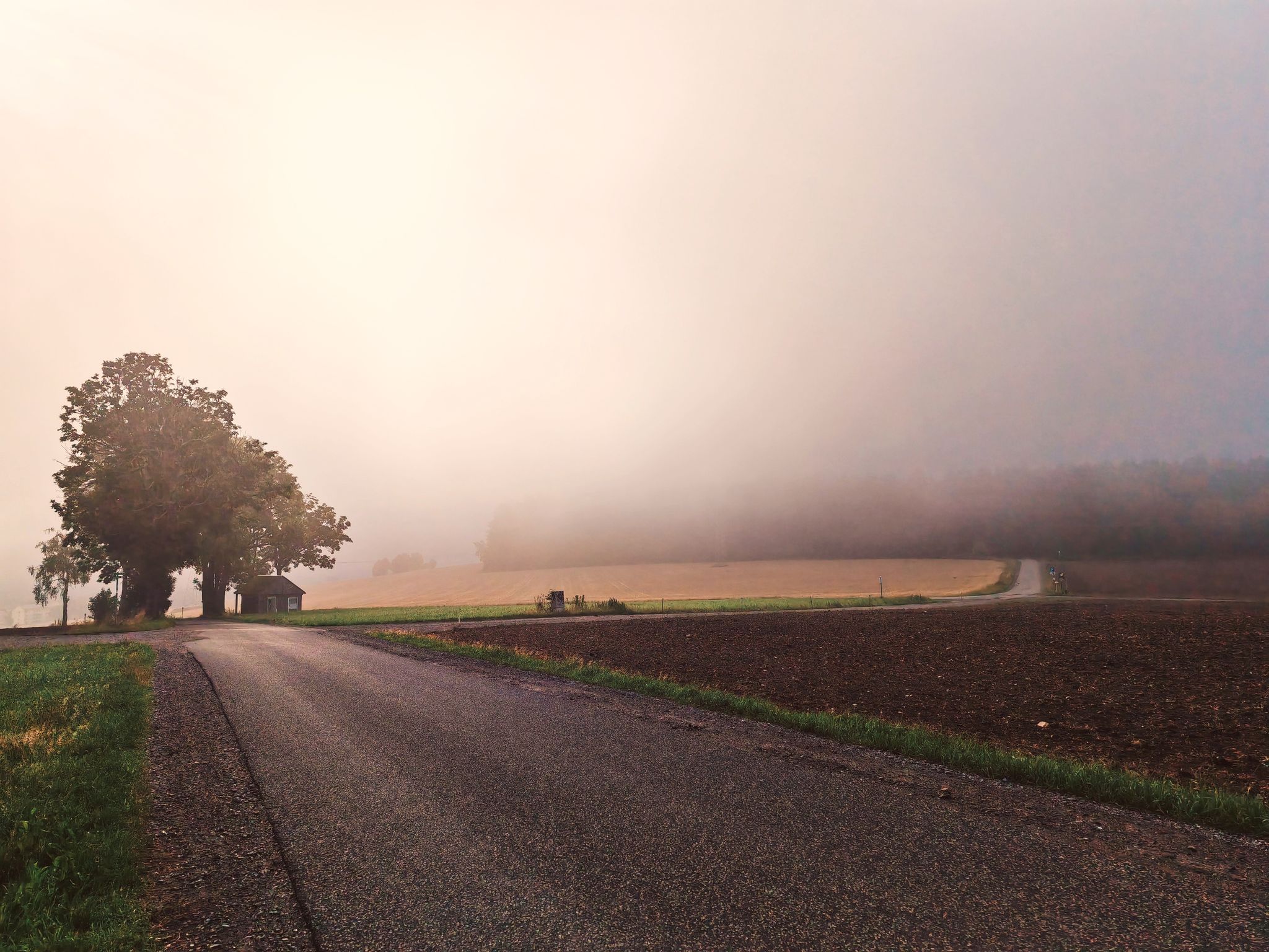
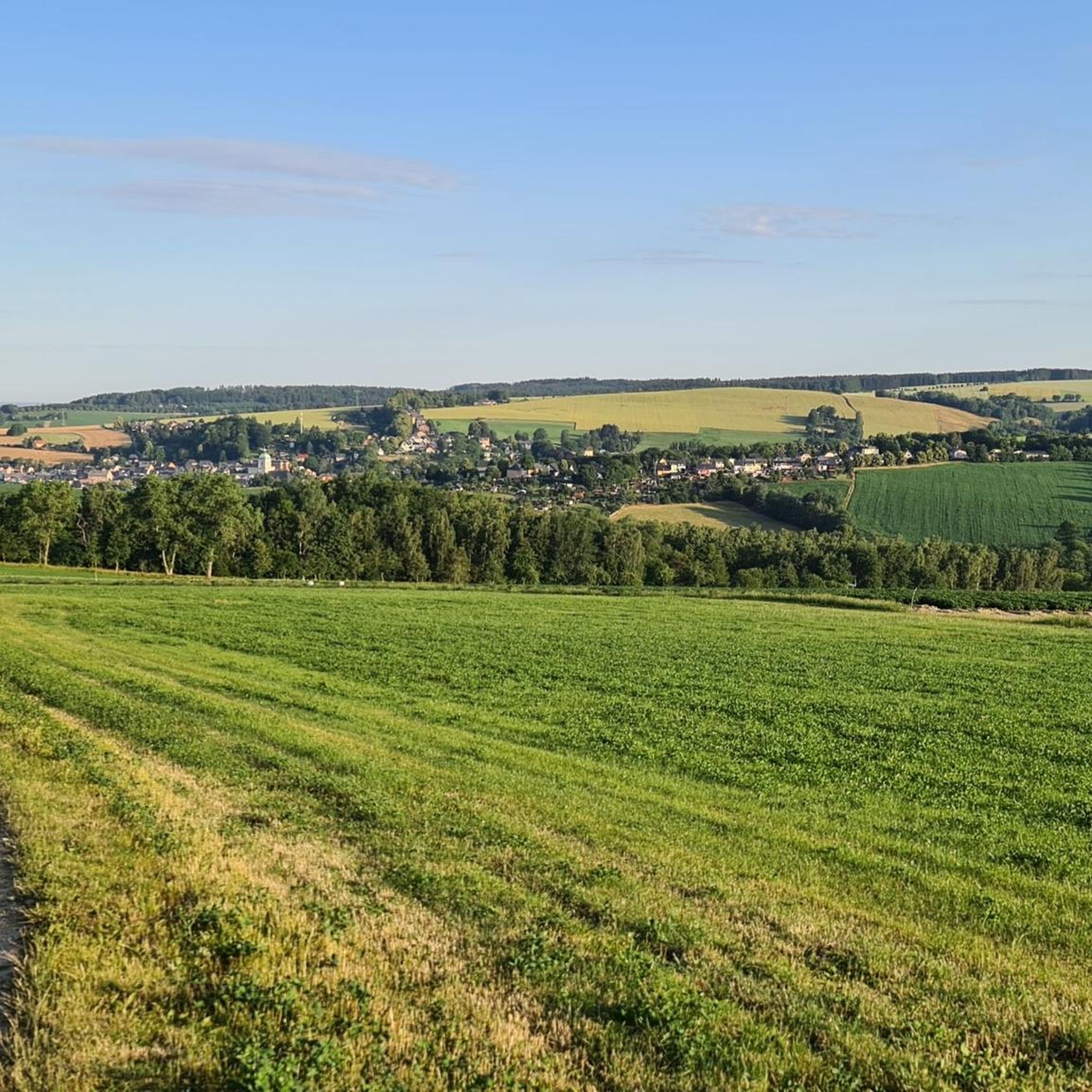
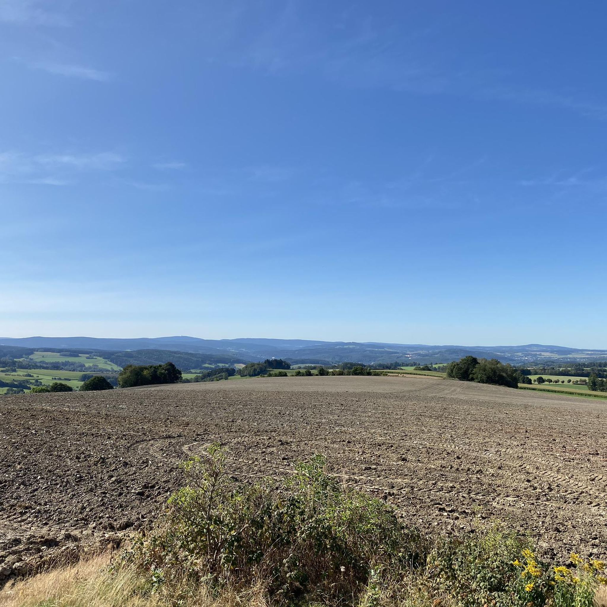


コミュニティからのヒント

プールの水は本当に氷のように冷たいです。靴を脱ぐための座席と足置き場のあるベンチが素敵に配置されています。
0
0


The Iron Trail is a high-altitude trail in the Ore Mountains, whose historical route follows the northern edge of the Ore Mountains. According to local history, it was used as early as the Middle Ages for transporting iron ore from the Schneeberg area. The route, still marked today, runs from Katzenstein near Affalter and through the Streitwald forest to Tabakstanne, continuing through the Bürgerwald forest, past the Schwarzes Kreuz memorial, to Harthauer Berg, located south of Chemnitz on Federal Highway 95. Today, the Iron Trail is a popular route for hikers and cyclists, connecting the area south of Chemnitz with the hiking trails of the central Ore Mountains. Source: Wikipedia https://de.wikipedia.org/wiki/Eisenweg_(Erzgebirge)
0
0

Goosebumps moment – nothing more needs to be said!
0
0


Beautiful views of nature, Burkhardtsdorf, and Chemnitz. Take time to pause.
0
0


The Sosa Dam is a dam in the Free State of Saxony. It serves to supply drinking water to the western Ore Mountains and to provide flood protection. The dam was built between 1949 and 1952 in the Höllengrund valley south of Sosa, which has been part of the town of Eibenstock since 2011, in the Ore Mountains, and was finally put into operation in 1952.
4
0

komootモバイルアプリでインスピレーションを得よう


さらに探索
他の地域の最高のサイクリングルートを見てみましょう。
