スヘルデの湖・トップ20
次の冒険でスヘルデの素晴らしい湖を訪れてみませんか?湖畔の穏やかな雰囲気や、天気が良い日のひと泳ぎは格別です。komootコミュニティがおすすめするスヘルデの素晴らしい湖の一覧を参考にして、次の冒険では湖をもっと満喫しましょう。
最終更新日: 9月 7, 2026
カルケンセ・メールセン
ハイライト • 自然
翻訳者 Google •
役立つ情報 は

Polders van Kruibeke
ハイライト • 自然
翻訳者 Google •
役立つ情報 は
今すぐサインアップして、こんな場所を発見しよう
最高のシングルトラック、ピーク、その他のエキサイティングなアウトドアスポットのおすすめを受け取ろう。
ベルラーレ城公園
ハイライト • 城
The castle and outbuildings are not open to the public, but the park is.
翻訳者 Google •
役立つ情報 は

Berlarebroek自然保護区
ハイライト • 森
翻訳者 Google •
役立つ情報 は
ホボケンセ・ポルダーの鳥類観察小屋
ハイライト • 構造物
(Nature point)
翻訳者 Google •
役立つ情報 は

Paardeweide湿地帯
ハイライト • 自然
翻訳者 Google •
役立つ情報 は

リーデメールスパークの池
ハイライト • 湖
翻訳者 Google •
役立つ情報 は

「ドートタイ」または「静かな水」の眺め
ハイライト • 展望台
翻訳者 Google •
役立つ情報 は

ヒンゲネヴィール
ハイライト • 湖
翻訳者 Google •
役立つ情報 は
翻訳者 Google •
役立つ情報 は
無料でサインアップして、さらに多くの湖を発見しましょう スヘルデでの。
すでにアカウントをお持ちですか?
無料アカウントで今日から始めよう
次の冒険が待っています。
スヘルデ周辺で人気
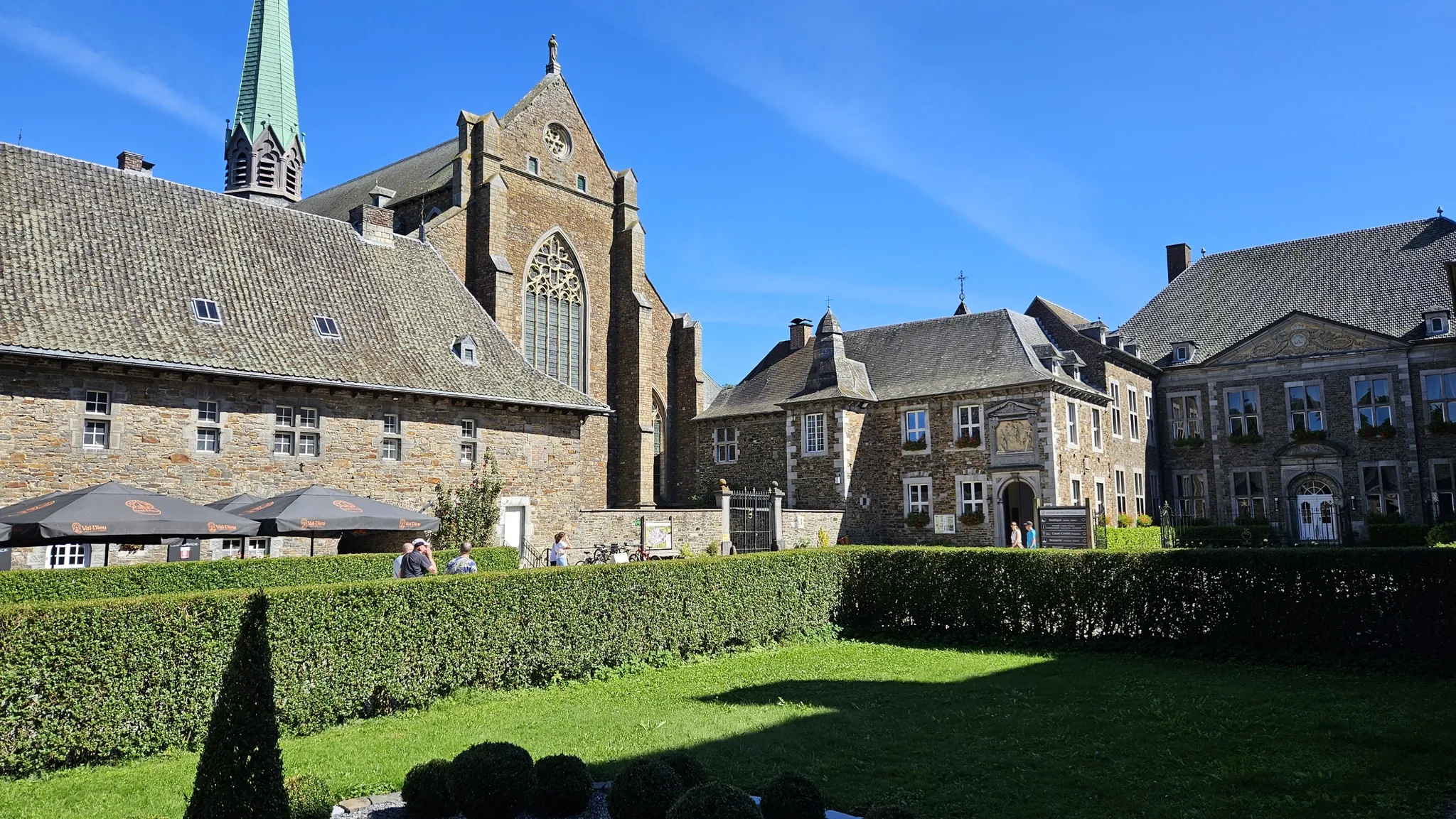
ビールと遺産の間 — トラピスト修道院ヴェロルート
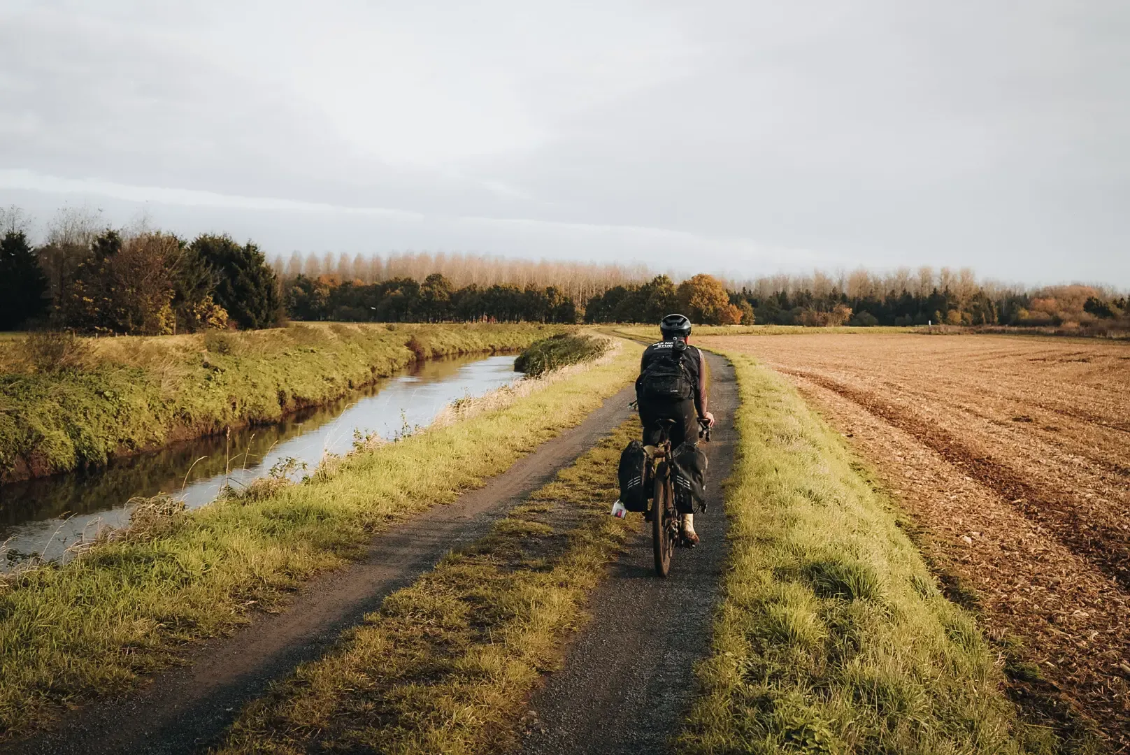
フランダーズ・ディバイド - フランダーズを横切る
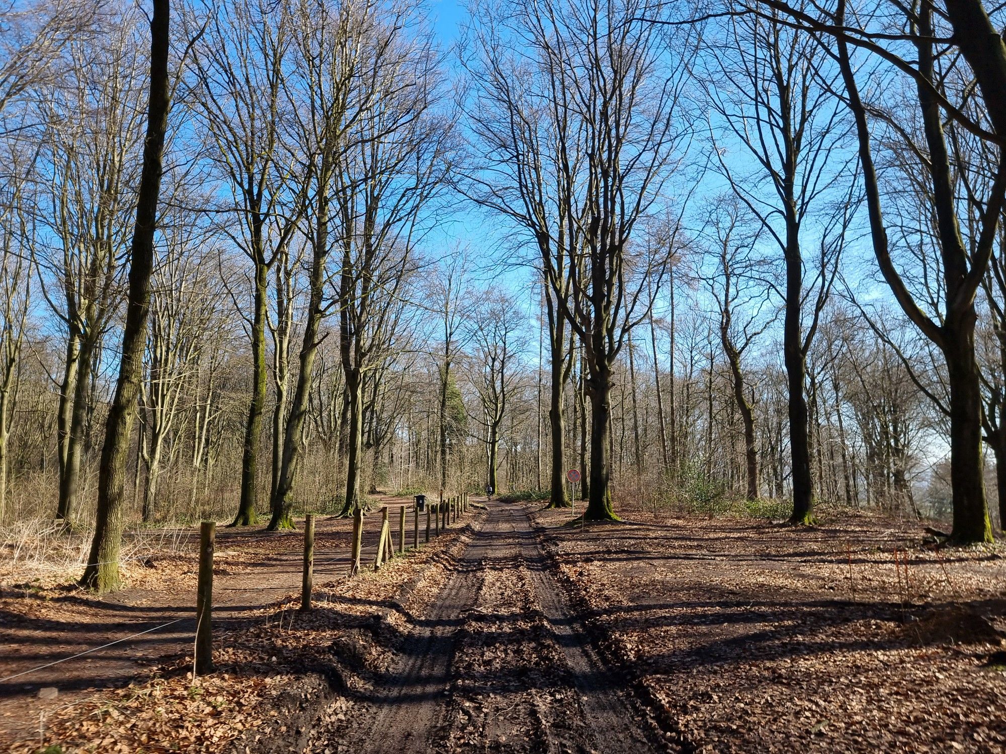
Grande Randonnée GRavel — Hainaut occidental
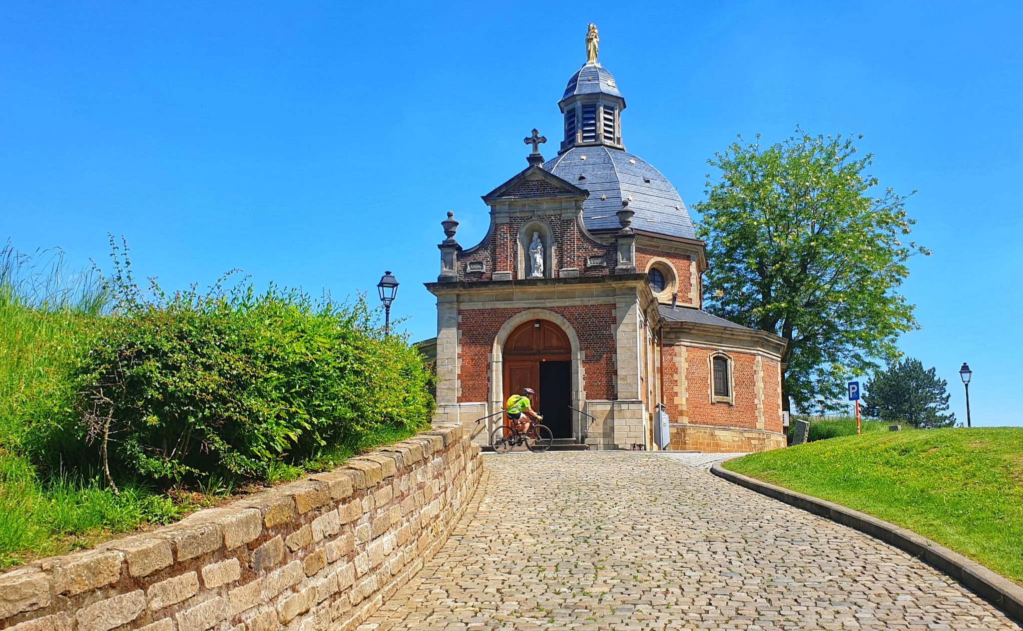
レースバイク 2 日間フランデレンの中心 - スパルタカスルート
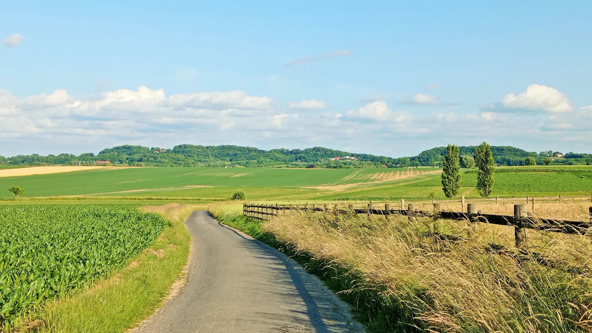
七日間の自転車ツアー 南フラームスの丘陵地帯 – 丘陵ルート
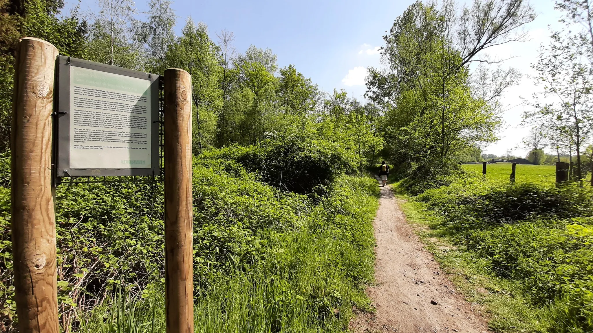
イン・ヘット・スポール・ファン・デン・フォス・レイナールデ – ストレーク-GR ワース エン レイナールトラント
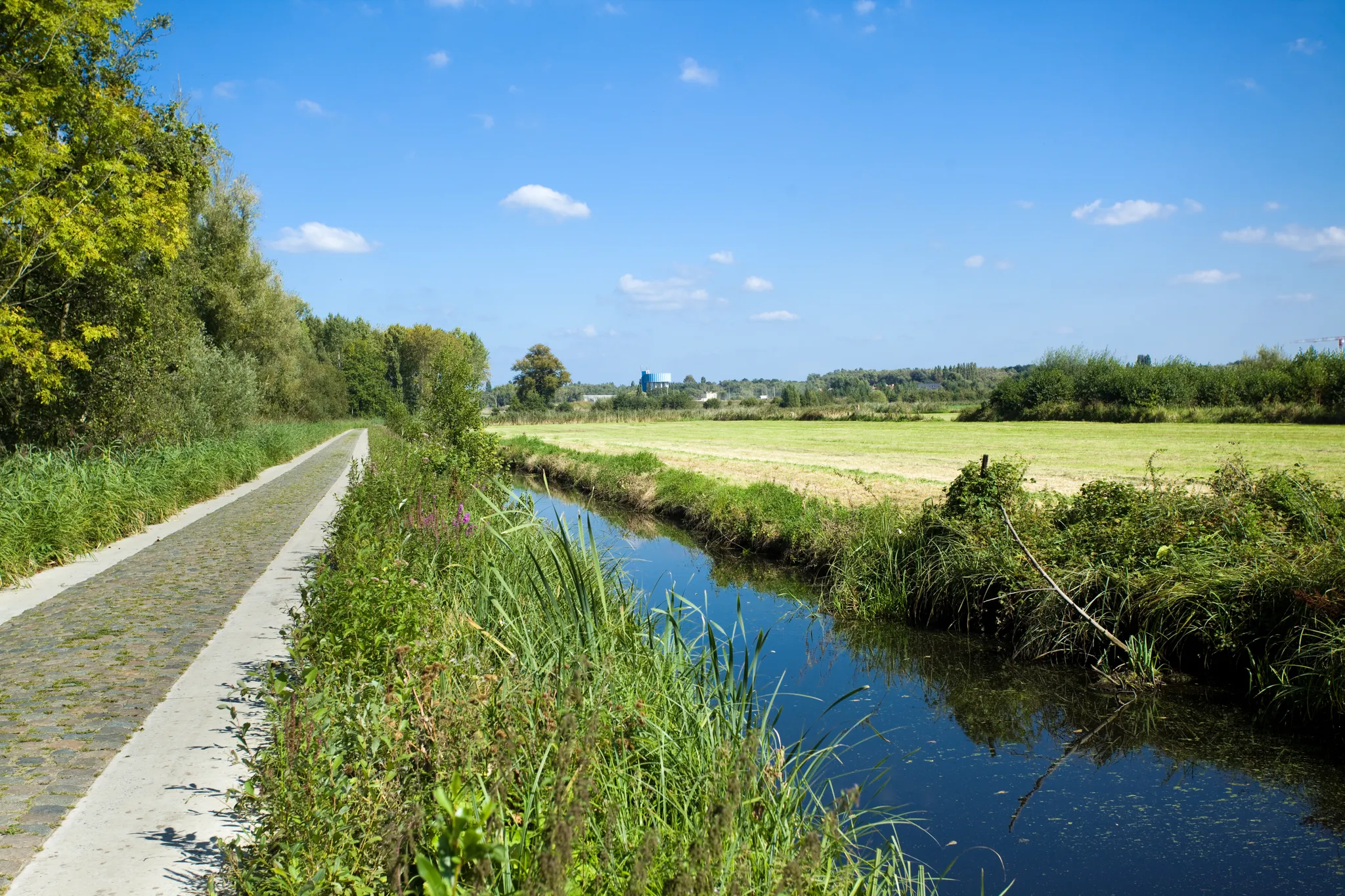
二日間自転車 – スヘルデとゼーラントの間
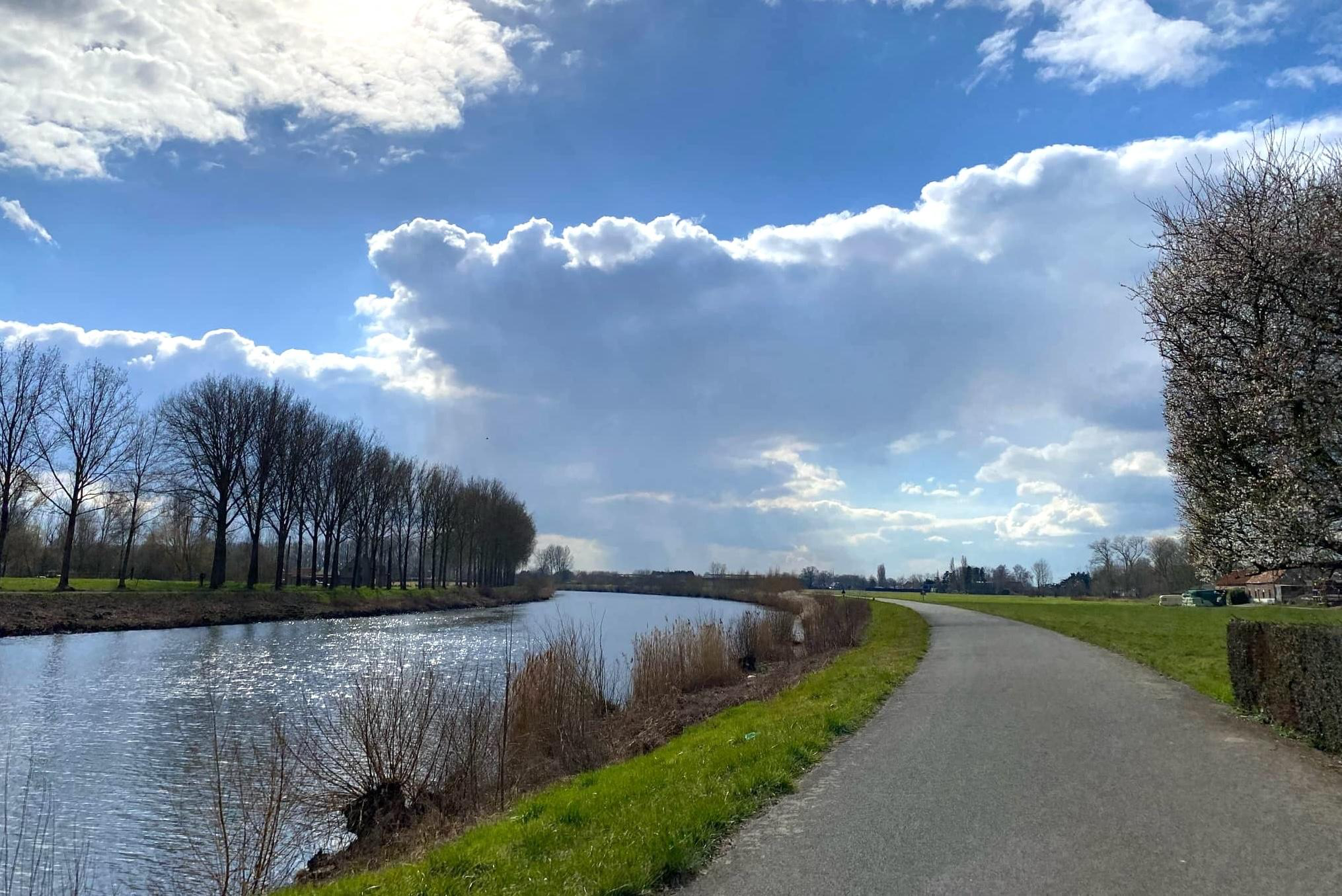
Drie dagen puur Fietsplezier van Spiere tot Zandvliet – Schelderoute
Become a Flandrien – take on climbs in the Flemish Ardennes
From station to station through nature – station hoppers in East Flanders
スヘルデでのの他の冒険


コミュニティからのヒント

1982年に正式に公園として認められたLiedermeersparkは、広さ25ヘクタールで、主に釣り池を含んでいます。元々は古いスヘルデ川の支流でした。1983年9月22日の市議会では、BPA no. 12の緑地帯を今後「Liedermeerspark」と正式に呼び、水域を「Verloren-broodvijver」と呼ぶことが決定されました。このレクリエーションエリアには、1988年に3000本もの在来落葉樹が植えられ、その後、学童によってさらに約1000本のオークが植えられました。 (現地の案内板より)
8
0

Descend and take on the challenge of the wet polder...
5
0
Come down from your attic and walk through the polder...
7
2
Patience and calm are instructive...
4
1

The wheel is privately owned, but you walk right past it (on the Victor De Witstraat). No one knows for sure how the Hingenewiel was formed. We know that the Spierenbroek flooded around 1552. After failed attempts to close the Spierenbroekgat, the other polders flooded in November 1554, because the pladderdijk broke. We suspect that this is how the Hingenewiel was formed. A pladderdijk is a cross dike that runs from the stream through the polder (so not along the river). This large wheel was originally even larger, probably the Ketelwiel used to be part of this wheel. In the middle of this wheel was an island with a tower on it. The Hingenewiel became smaller due to natural silting up. Kingfisher, grebe, coot, moorhen, gadwall and shelduck breed here, among other things. But you can also admire fire damselfly, ostrich fern and yellow water lily here. (Regional Landscape Schelde-Durme)
11
0

Picknick time! Or just a beer.
3
2

Quiet in nature by the water
4
0

komootモバイルアプリでインスピレーションを得よう


