イーランツ/グリオンの峠・トップ20
風景を楽しんだり、上りや下りを満喫したり、峠には楽しみ方がたくさんあります。イーランツ/グリオンの素晴らしい峠の一覧を参照して、思い出に残るアドベンチャーに出かけましょう。コミュニティのメンバーがコミュニティのために投稿した峠のハイライトは、他のユーザーが実際におすすめする情報なので、どれも信頼できるものです。気に入った峠にさっそく向かってみましょう。
最終更新日: 9月 2, 2026
ビショルゼー湖
ハイライト • 湖
翻訳者 Google •
役立つ情報 は

リヒェトリ峠
ハイライト • 山道
翻訳者 Google •
役立つ情報 は
今すぐサインアップして、こんな場所を発見しよう
最高のシングルトラック、ピーク、その他のエキサイティングなアウトドアスポットのおすすめを受け取ろう。
無料新規登録
テンナー・クロイツ山頂
ハイライト • 山頂
翻訳者 Google •
役立つ情報 は

Val LumneziaとObersaxenを結ぶアルプスルート
ハイライト (セグメント) • トレイル
翻訳者 Google •
役立つ情報 は


無料アカウントで今日から始めよう
次の冒険が待っています。
ログインまたは登録
イーランツ/グリオン周辺で人気

Winter Magic in the Surselva – peace, space and pure nature

純粋な山の楽しみの34ステージ - スイスのアルプス山峠トレイルでハイキング
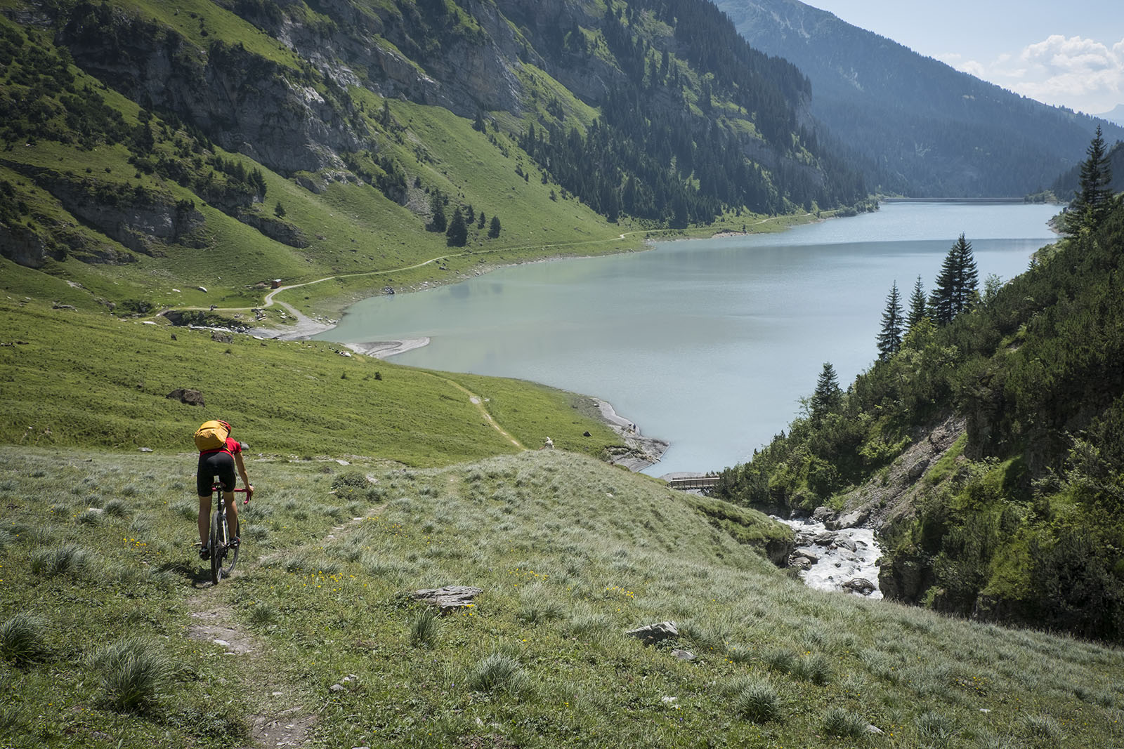
砂石とアスファルトを通ってスルゼルバを旅する - ブンデーオーベランドを旅するTOURと共に
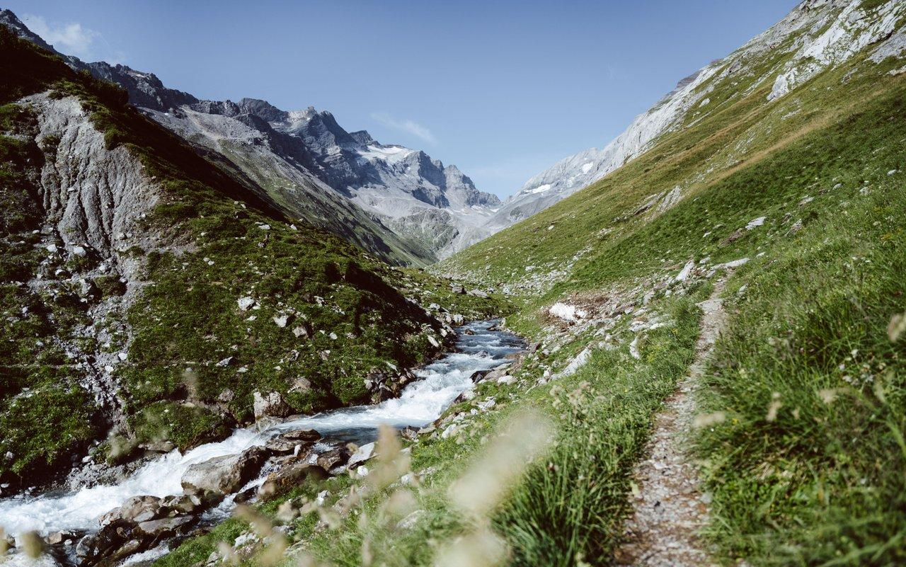
Relax and enjoy – hiking highlights of the Surselva
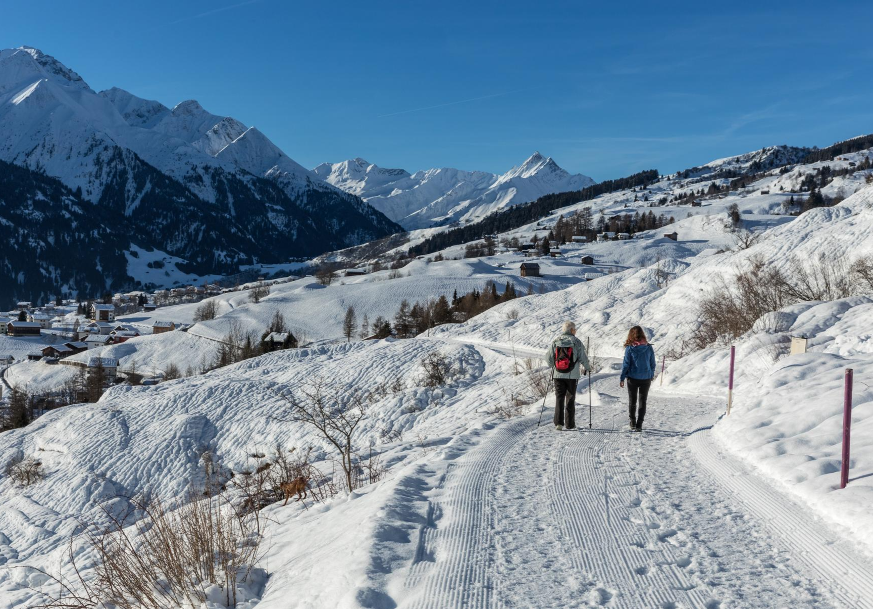
A winter mountain paradise – discover the Surselva
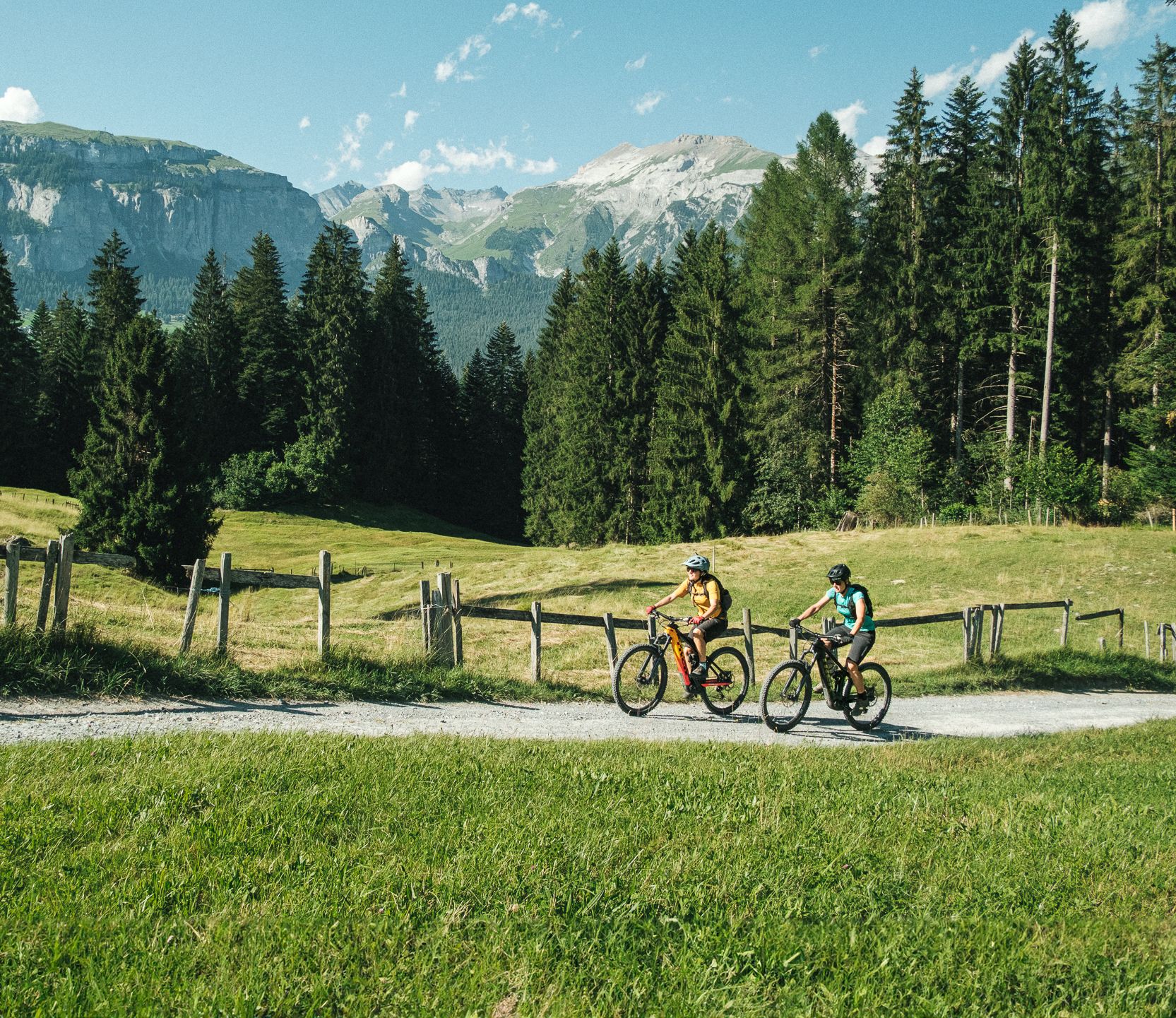
The most beautiful cross country e-bike Tours in Flims Laax Falera
The most beautiful cross country Tours in Flims Laax Falera
グレイシャーバイクツアーの大冒険を体験してください
The six most beautiful gravel routes in Graubünden
Trans Grischun – cross Graubünden on a gravel bike
イーランツ/グリオンでのの他の冒険


コミュニティからのヒント

素晴らしい体験でした!Thalkirchからは、バイオバイカーとして何度も少し押さなければなりませんでした。しかし、Valsへの下りは楽しみそのものです。
0
0

The Richetli Pass is a wonderful pass between Linthal and Elm. The Linthal side is significantly steeper than the Elm side. Coming from Linthal, you'll have your first glimpse of the Glarus Thrust here, before admiring the entire spectacle from the Wichlenmatt.
0
0


The Richetli Pass (2,261 m above sea level) is a high mountain pass in the Glarus Alps and connects the towns of Linthal and Elm in the canton of Glarus. The pass lies between the valley of the Linth River and the valley of its tributary, the Sernf. The Richetli Pass is the lowest point between the Hausstock and Kärpf peaks. Source: https://share.google/5uPMLWragfRQhSfx8
1
0

Almost completely drivable pass between Valser and Safiental - highly recommended
1
0

Beautiful pass between the Safiental and the Valsertal.
0
0

highest point of the very pleasant 5 hour hike from Turrahus in Safienthal to Vals
0
0

The panoramic view of the Graubünden mountains is simply incomparably beautiful.
6
0

komootモバイルアプリでインスピレーションを得よう


さらに探索
これらのガイドでさらに壮大な山道を見てみましょうイーランツ/グリオンでの:
