イーランツ/グリオンの湖・トップ20
次の冒険でイーランツ/グリオンの素晴らしい湖を訪れてみませんか?湖畔の穏やかな雰囲気や、天気が良い日のひと泳ぎは格別です。komootコミュニティがおすすめするイーランツ/グリオンの素晴らしい湖の一覧を参考にして、次の冒険では湖をもっと満喫しましょう。
最終更新日: 8月 31, 2026
クレスタ湖
ハイライト • 湖
翻訳者 Google •
役立つ情報 は

カウマ湖
ハイライト • 湖
翻訳者 Google •
役立つ情報 は

今すぐサインアップして、こんな場所を発見しよう
最高のシングルトラック、ピーク、その他のエキサイティングなアウトドアスポットのおすすめを受け取ろう。
無料新規登録
カウマ湖のパノラマビュー
ハイライト • 展望台
翻訳者 Google •
役立つ情報 は

カウマゼー湖畔の遊歩道
ハイライト • 湖
翻訳者 Google •
役立つ情報 は
Ochsenstäfeli
ハイライト • 湖
翻訳者 Google •
役立つ情報 は

無料でサインアップして、さらに多くの湖を発見しましょう イーランツ/グリオンでの。
無料新規登録
すでにアカウントをお持ちですか?
無料アカウントで今日から始めよう
次の冒険が待っています。
ログインまたは登録
イーランツ/グリオン周辺で人気

Winter Magic in the Surselva – peace, space and pure nature

純粋な山の楽しみの34ステージ - スイスのアルプス山峠トレイルでハイキング
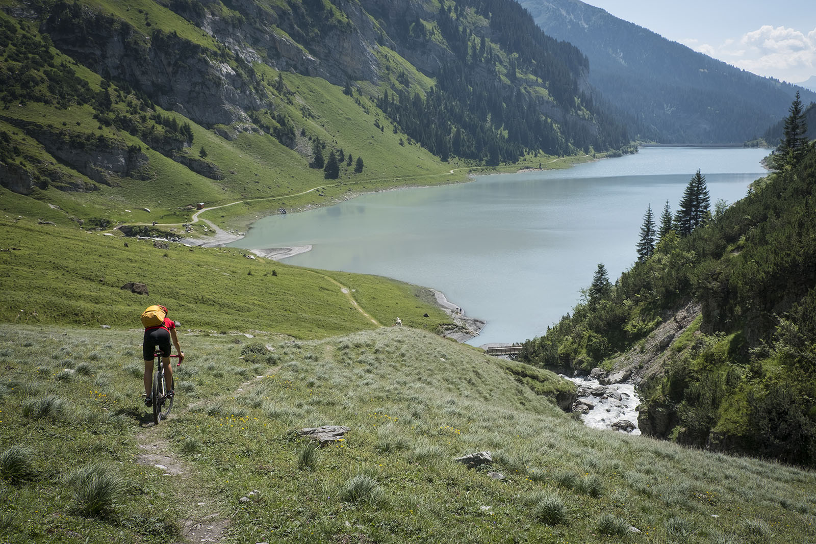
砂石とアスファルトを通ってスルゼルバを旅する - ブンデーオーベランドを旅するTOURと共に
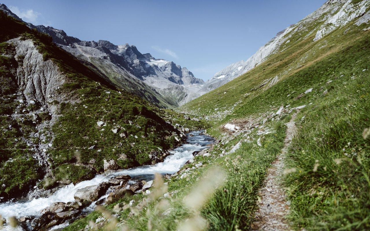
Relax and enjoy – hiking highlights of the Surselva
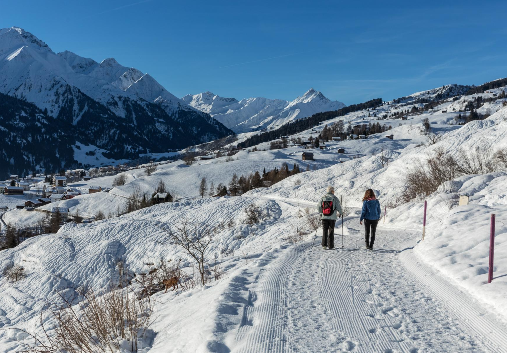
A winter mountain paradise – discover the Surselva
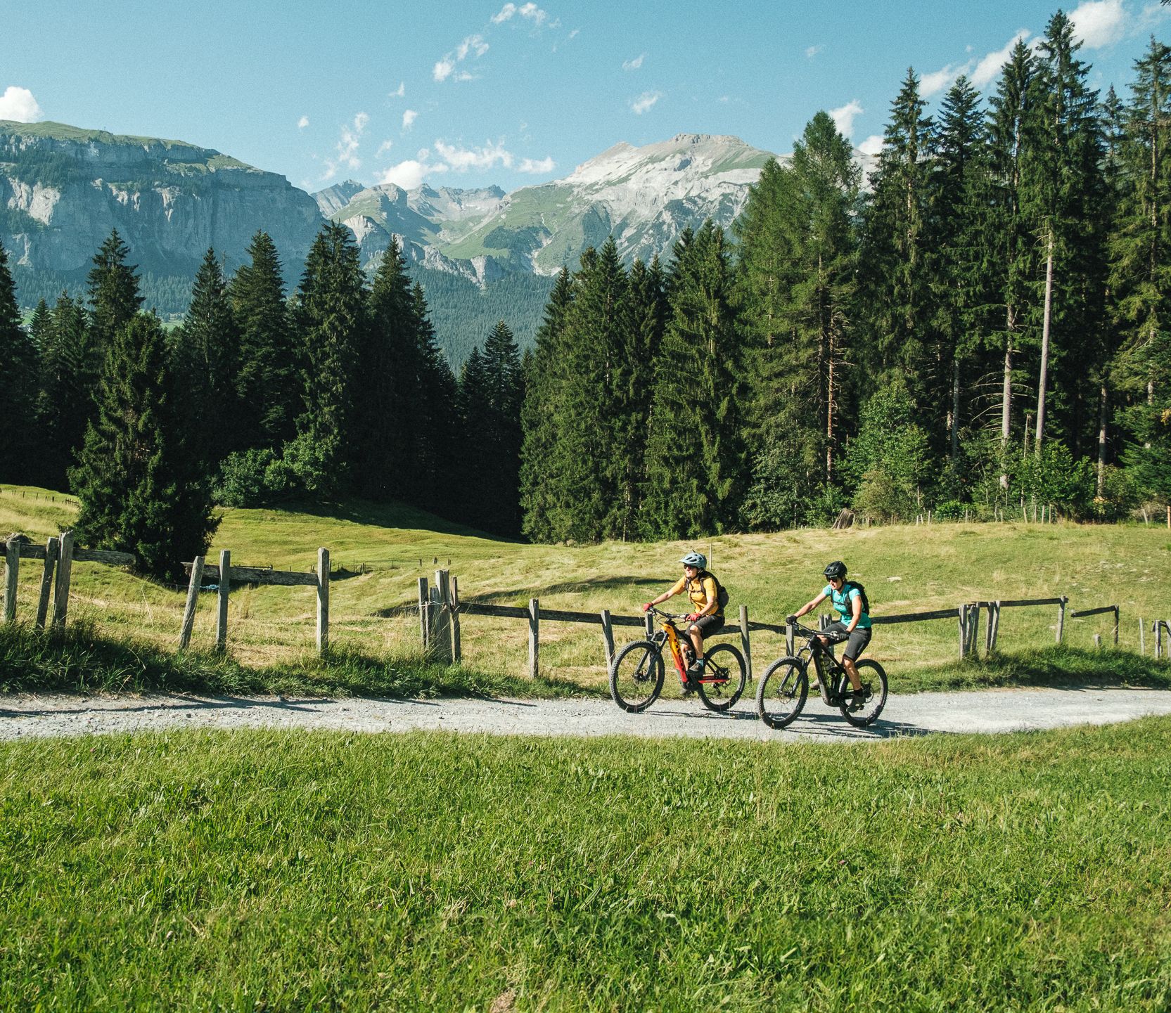
The most beautiful cross country e-bike Tours in Flims Laax Falera
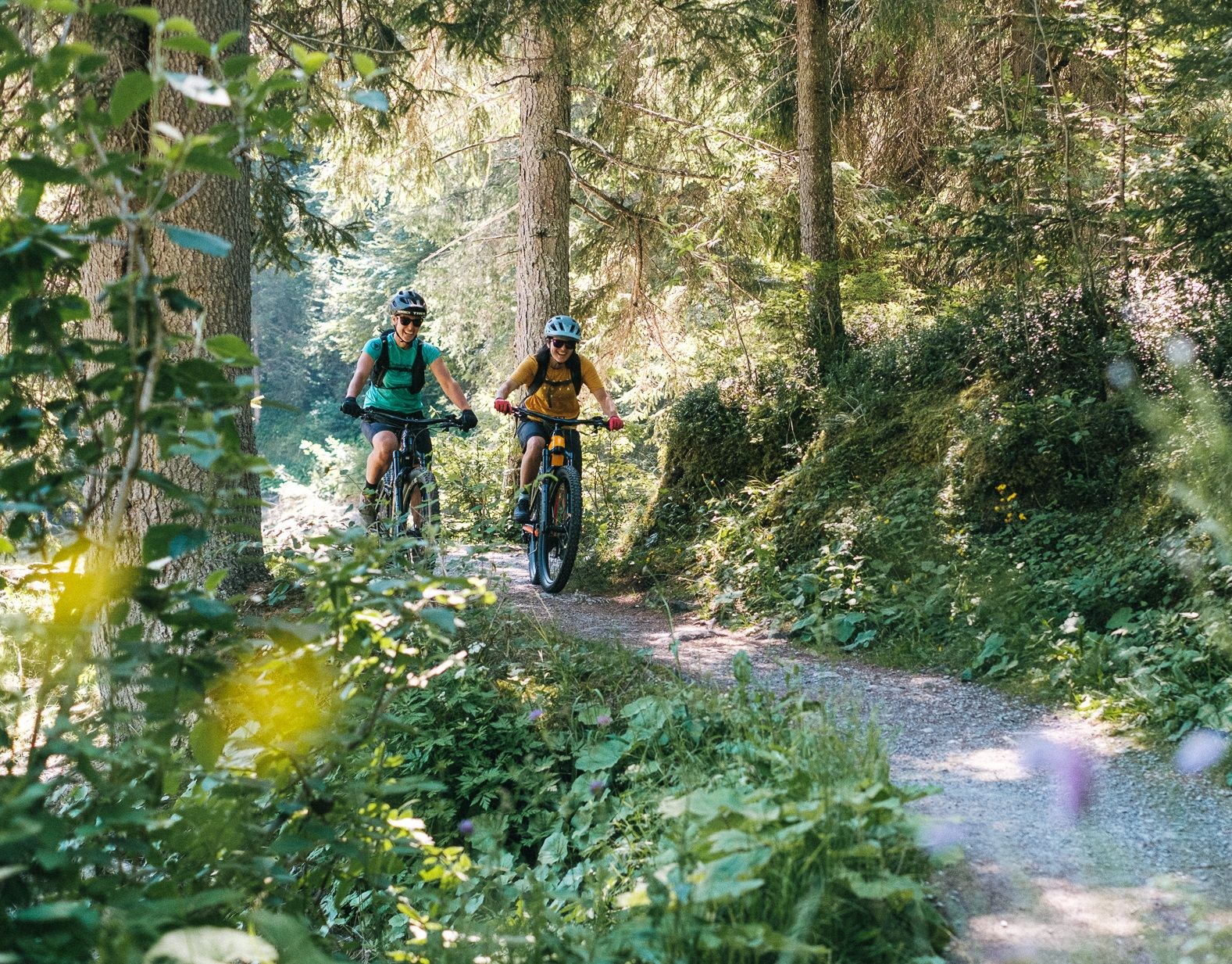
The most beautiful cross country Tours in Flims Laax Falera
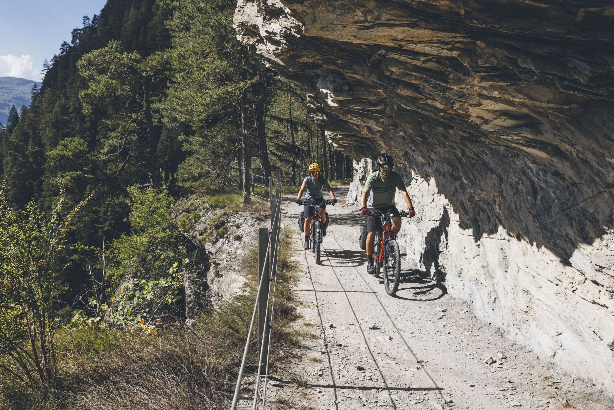
グレイシャーバイクツアーの大冒険を体験してください
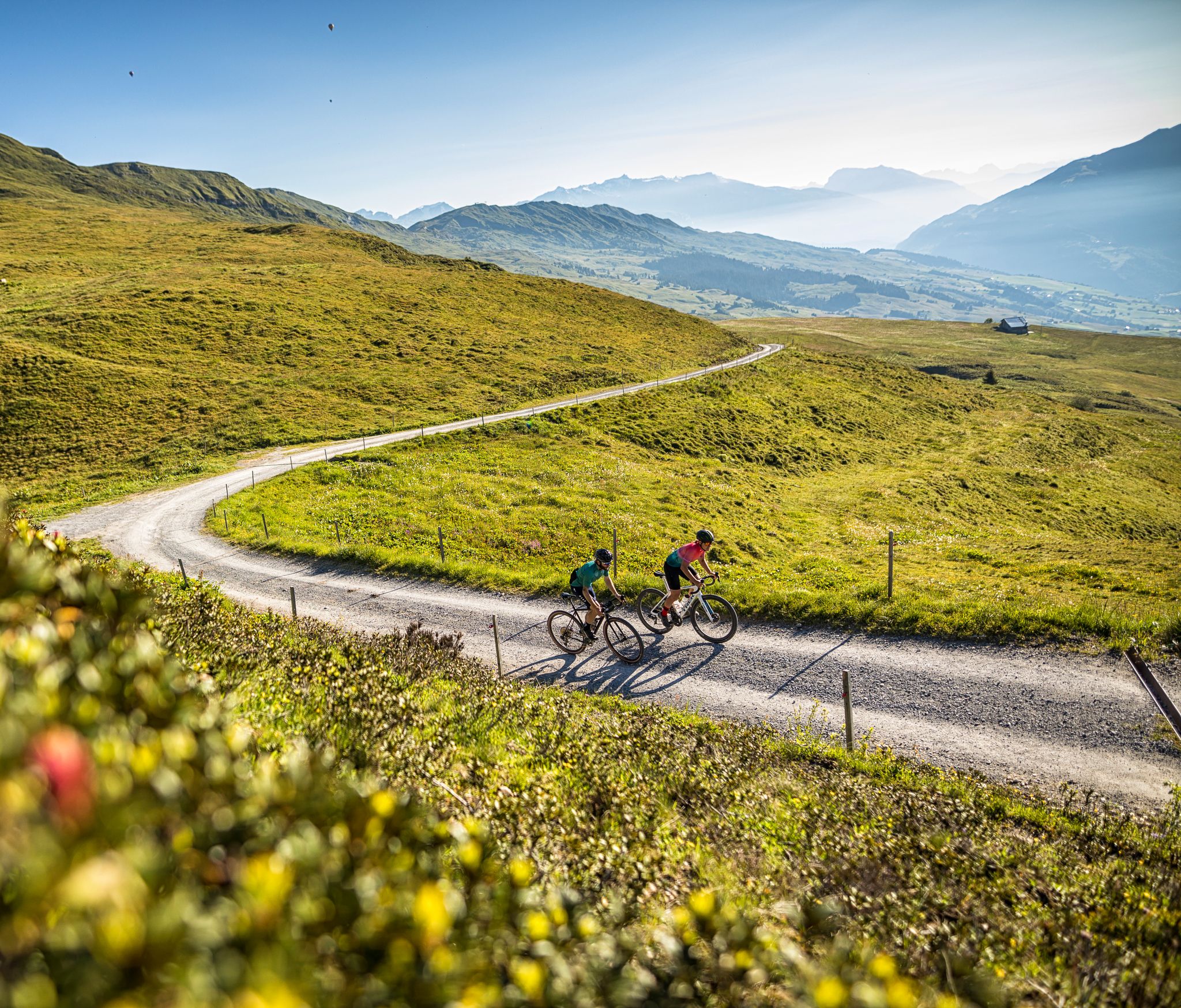
The six most beautiful gravel routes in Graubünden
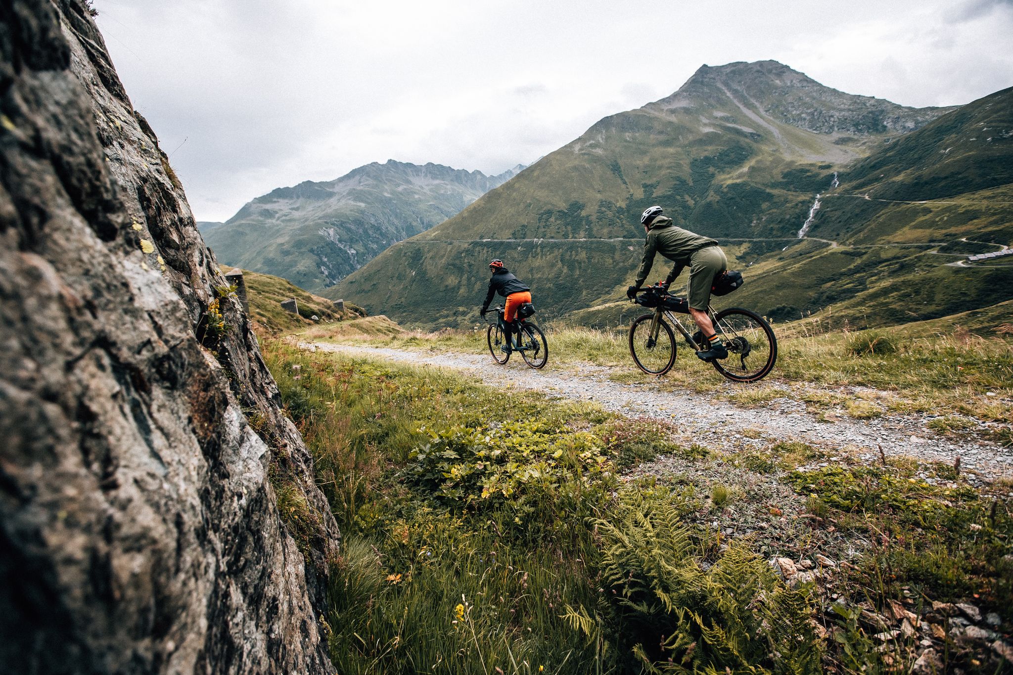
Trans Grischun – cross Graubünden on a gravel bike
イーランツ/グリオンでのの他の冒険


コミュニティからのヒント


The lake now boasts a beach, several bathing islands, and pedal boats. Two-thirds of it is fenced in, making it impossible to reach the shore. The natural beauty is so magnificent, yet it has been completely ruined. The photos don't reflect reality!
0
0

The Muttsee (formerly Mutten See, Muttensee) is a reservoir on the Muttenalp in the southernmost part of the municipality of Glarus South in the canton of Glarus in Switzerland.
2
0
In 1957, the newly founded Kraftwerke Linth-Limmern AG (KLL) began to realize the power plants that had been planned since the beginning of the 1940s by the Nordostschweizerische Kraftwerke (NOK), into which the Muttensee was to be integrated.
2
0
Until 1917, the official name was "Mutten See", then the spelling "Muttensee" appeared. From 1963, the spelling "Muttsee" appeared. The Hühnerbühl is now known in dialect as Hüenderbüel.[3] The kidney-shaped mountain lake was about 1000 meters long and 400 to 500 meters wide. On the Muttenalp plateau known as Hühnerbühl, it covered an area of about 42 hectares. The height of the lake surface was given as 2442 m until 1899, and 2448 m from 1900 to 1962. In the southeast, the lake was drained by a stream, which after a few hundred meters, at about 2400 m, disappeared into the Muttsee cave in the karst subsoil of the Muttenalp.[6] A little to the south, from about 2450 m, the Muttenbach collected the snow water from the Latten via various small tributaries.[5] It led this into the Limmernbach via the Mörthal and the Ochsenblanken.
2
1
The lake is registered in the cantonal landscape register as a landscape of regional importance.[4] In the karst area of the Muttenalp there are - in addition to the Muttsee cave and the Muttsee hut - various other small lakes, most of them distributed southwest of the Muttsee over the Hüenderbüel. The largest neighbor, the Ober See, lies north of the Muttsee at 2474 m. It is the only lake on the Muttenalp that is connected to the Muttsee via its outflow.
2
0
The lake is located at the crossing from Linthal-Tierfehd over the Kistenpass to Brigels. It lies in the 2.95 square kilometer basin of the Muttenalp above the Hüenderbüel. The alp is surrounded by high mountains such as Nüschenstock (2892 m) in the west, Rüchi (2849 m) in the northwest, Hinter Sulzhorn (2737 m) in the northeast, Ruchi (3105 m) in the east and Muttenstock (3088 m) in the southeast. The arena opens to the southwest. It drops steeply over the Muttenwand into the Limmerental and over the Muttenchopf (2482 m) to the Limmerensee.
3
0

komootモバイルアプリでインスピレーションを得よう


さらに探索
まだ完璧な湖が見つかりませんかイーランツ/グリオンでの?これらの地域のガイドをチェックして、さらに美しい場所を見てみましょう。
