バニュの峠・トップ20
風景を楽しんだり、上りや下りを満喫したり、峠には楽しみ方がたくさんあります。バニュの素晴らしい峠の一覧を参照して、思い出に残るアドベンチャーに出かけましょう。コミュニティのメンバーがコミュニティのために投稿した峠のハイライトは、他のユーザーが実際におすすめする情報なので、どれも信頼できるものです。気に入った峠にさっそく向かってみましょう。
最終更新日: 9月 16, 2026
コル・ド・ラ・クロワ・ド・クール
ハイライト • 山道
翻訳を表示中
役立つ情報 は

コル・デ・ミーヌ
ハイライト • 山道
翻訳者 Google •
役立つ情報 は

今すぐサインアップして、こんな場所を発見しよう
最高のシングルトラック、ピーク、その他のエキサイティングなアウトドアスポットのおすすめを受け取ろう。
コル・デュ・ラン
ハイライト • 山道
翻訳者 Google •
役立つ情報 は

デュラン塀
ハイライト • 山道
役立つ情報 は

無料アカウントで今日から始めよう
次の冒険が待っています。
バニュ周辺で人気
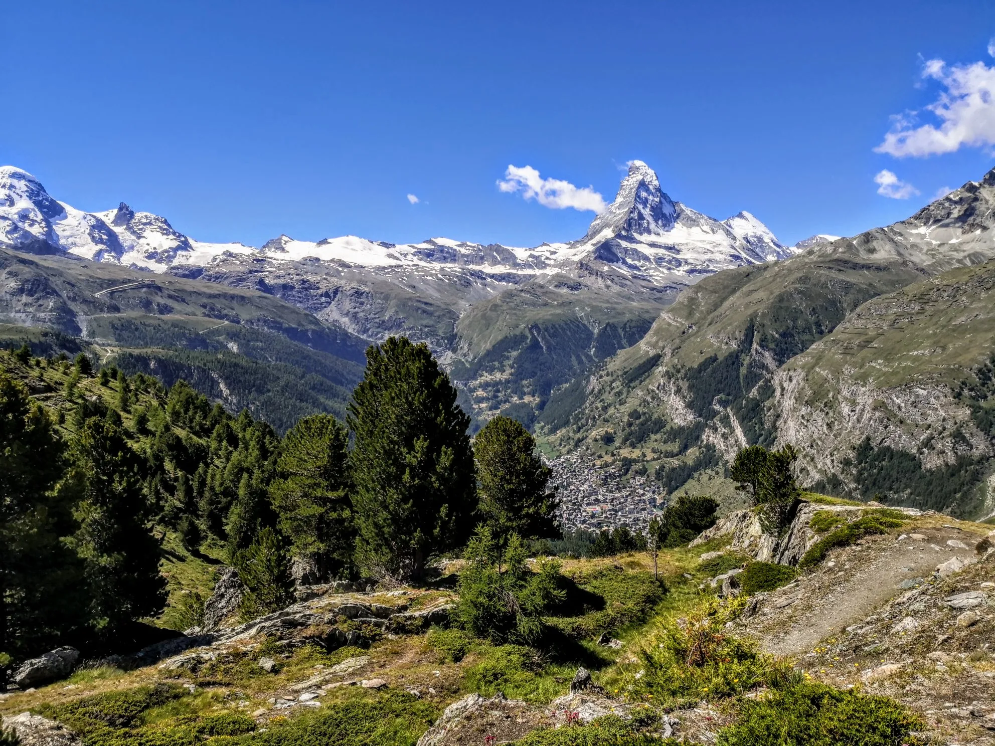
究極のアルパイン・アドベンチャー - ウォーカーズ・オート・ルート

Alpine Passes Trail - サウファーシラールトリアルド 700km インスラールト

純粋な山の楽しみの34ステージ - スイスのアルプス山峠トレイルでハイキング
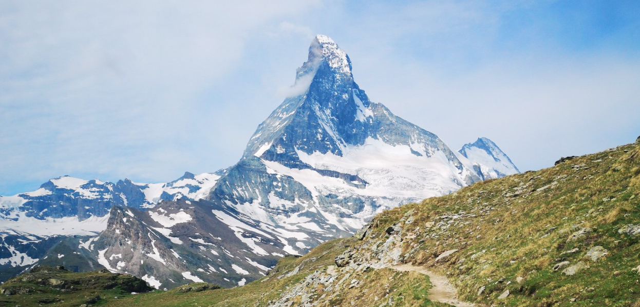
情熱をもって走る - シャモニーからツェルマットのオートルート
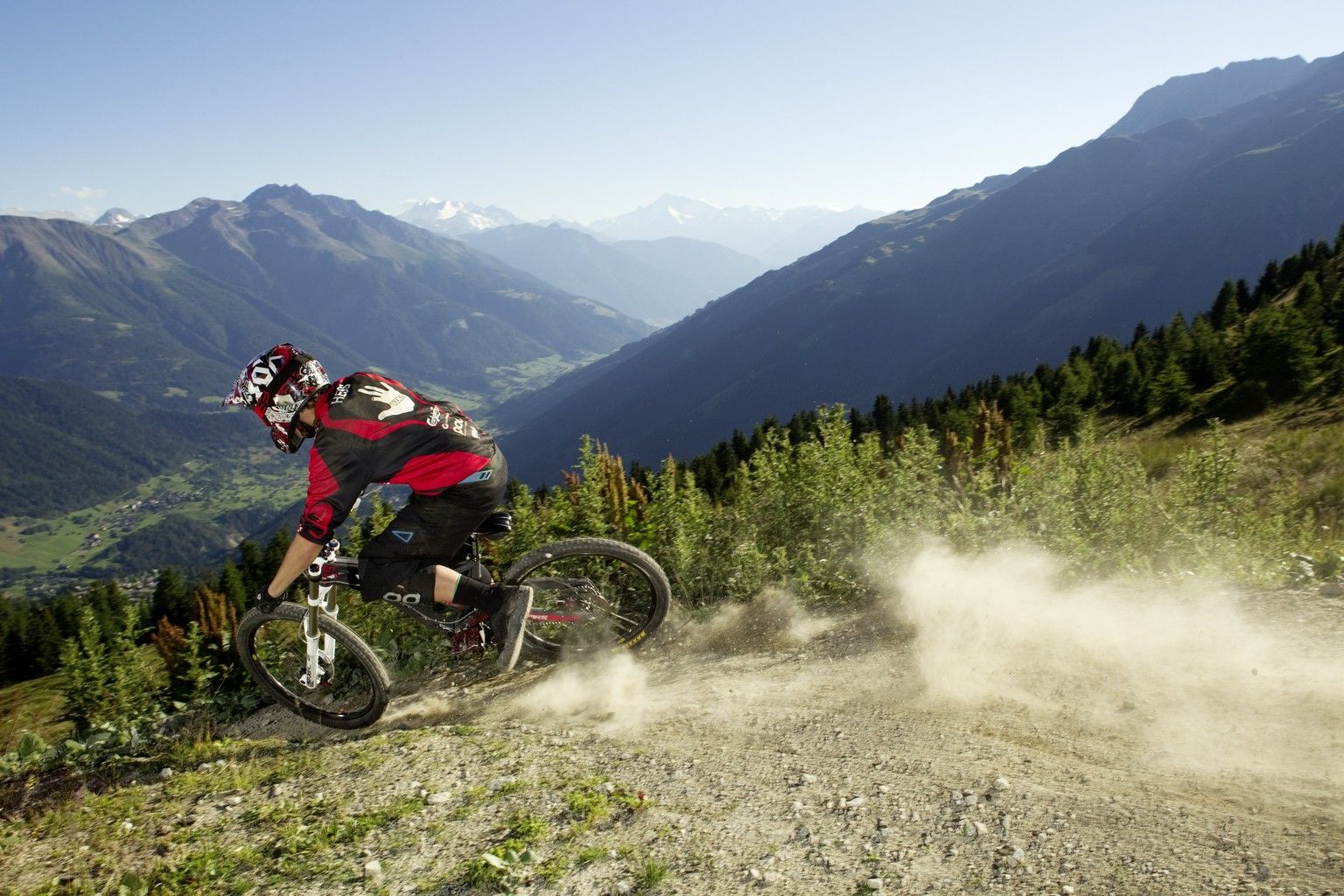
Bike parks in Switzerland
Gipfelgenuss im goldenen Licht – Herbstwandern mit rivella
Wandergenuss für alle Sinne – Mit rivella in die Berge
100% Women: Fürs Biken geschaffen – die Schweiz
Berge mit unglaublichen Namen
バニュのMTBトレイル
バニュでのの他の冒険


コミュニティからのヒント

You may see families of wild goats as they don't seem to be bothered about people
0
0

From Les Ruinettes, steep and rocky, at least the 'direct' path is.
0
0

The pass between Switzerland and Italy connects Valais and the Aosta Valley (the smallest region in Italy with the black and red flag). "The Fenêtre de Durand is a 2,797-meter-high mountain pass in the Pennine Alps. The mule track connects the Swiss Rhône Valley via the Val de Bagnes with the Italian Aosta Valley. The gap between the 3,347-meter-high Mont Avril and the 3,518-meter-high Mont Gelé (Chanrion) is the only ice-free crossing over the main Alpine ridge east of the Grand Combin massif and west of the Monte Rosa massif. Immediately below the pass summit, on the Italian side, is the small Lac Fenêtre." Source: Wikipedia.
1
0

Beautiful, smooth, never extremely steep and only a few cars even on weekends.
0
1

https://youtu.be/D352Ql5fMaY?feature=shared I also passed through here on the Tour du Combin. Crossing the lonely col is simply epic. The climb from Fionnay up to the reservoir through the many tunnels is an experience; the climb to the col is easy for a long time, but quite steep at the end. The descent across the lake into the valley is an absolutely fantastic trail, culminating in the Ru Neuf irrigation channel.
1
0

The rewards are the magnificent view of the Val de Bagnes and the cheese crust at the refreshment bar at the Col du Lein
2
0

The Col des Otanes is located at an altitude of around 2880 m as a mountain pass between the Cabane FXB Panossière hut on the Corbassière glacier and Mauvoisin in the Dranse valley. Its pass is located between the Grand Tavé (southeast; 3158 m) and the Becca de Corbassière (north; 2690 m). Fascinating views of the nearby glacier and the Combin mountain massifs to the south can be seen. To the north, the view sweeps across the wide valley (Val de Bagnes) and across to the surrounding mountain ranges - including the striking Dents du Midi massif. The path here leads through red-brown or grey-black colored boulders and scree slopes. The path for the ascent to the Grand Tavé branches off to the east very close by.
2
0

A pleasant, grassy mountain pass, with spectacular views of the Valais mountains. The pass is pastoral and synonymous with the typically Swiss mountain terrain. This pass is connected to many popular areas by a variety of trails, making it an excellent place for all types of walks and cyclists.
2
0

komootモバイルアプリでインスピレーションを得よう


