レンズのおすすめライド
4.4
(284)
14,008
ライダー
130
ライド
ロードサイクリングは、フランス北部のオー=ド=フランス地域にあるレンス周辺で楽しめます。この地域は、穏やかな運河沿いの道から歴史的な場所を巡るルートまで、多様な地形が特徴です。ユネスコ世界遺産に登録されている炭鉱跡地の景観、特に円錐形のズラッグヒープ(採掘残土の山)は、この地域のユニークな特徴であり、そこからはパノラマビューが楽しめます。緑豊かな道と、極端な高低差が少ない変化に富んだ田園風景がこの地域を定義しています。アクセスしやすい道とユニークな歴史的特徴のこの組み合わせにより、レンスは様々なロードサイクリング体験に適しています。
レンス周辺の最高のロードサイクリングルート
- 最も人気のあるロードサイクリングルートは、クラン・モンタナ・パノラマ・ルートです。このルートは16.2マイル(26.0 km)で、所要時間は1時間47分です。このルートは、この地域のより挑戦的なライドの特徴である、かなりの高低差を伴います。
- 地元のロードサイクリストに人気のもう一つのルートは、クラン・モンタナ・ガレ発、レンス村中心部~シオン城巡りループです。これは難易度が高く、59.9マイル(96.6 km)のルートです。このルートは、登りや下りを含む変化に富んだ地形を走り、歴史的な城の景色を楽しめます。
- 地元のロードサイクリストに人気のもう一つのルートは、クラン・モンタナ・ガレ発、グロノン湖、クラン・モンタナ~ツィーザー湖巡りループです。このルートは31.5マイル(50.7 km)で、山岳地帯を走り抜け、所要時間は約3時間30分です。
- レンス周辺のロードサイクリングは、炭鉱跡地の景観、緑豊かな道、運河沿いの道、そして変化に富んだ田園風景によって特徴づけられています。このネットワークは、簡単なライドからかなりの高低差を伴うより挑戦的なルートまで、様々なレベルのサイクリストに対応するオプションを提供しています。
- レンスのルートは、190件以上のレビューから平均4.3つ星という高い評価をkomootコミュニティから受けています。13,000人以上のロードサイクリストがkomootを利用して、レンスの変化に富んだ地形を探索しています。
最終更新日: 9月 11, 2026
5.0
(2)
91
ライダー
26.0km
01:47
890m
890m
中程度のロードライド. ある程度のフィットネスレベルが必要です。 全般的に舗装状態が良好で走行しやすい道です。
4.5
(2)
193
ライダー
92.9km
06:13
2,910m
2,910m
難しいロードライド. 標準以上のフィットネスレベルが必要です。 全般的に舗装状態が良好で走行しやすい道です。

5.0
(3)
137
ライダー
51.1km
03:32
1,740m
1,740m
難しいロードライド. 標準以上のフィットネスレベルが必要です。 全般的に舗装状態が良好で走行しやすい道です。
4.0
(1)
112
ライダー
41.1km
01:41
190m
190m
初級者向けロードバイクライド. あらゆるフィットネスレベルに適しています。 全般的に舗装状態が良好で走行しやすい道です。
3.0
(1)
81
ライダー
39.1km
02:26
1,030m
1,030m
難しいロードライド. 標準以上のフィットネスレベルが必要です。 全般的に舗装状態が良好で走行しやすい道です。
さらに多くのルートや他のユーザーのおすすめ情報を確認できます。
すでにアカウントをお持ちですか?
おすすめのツアーは他のkomootユーザーが実際に経験した何千ものアクティビティに基づいています。


コミュニティからのヒント

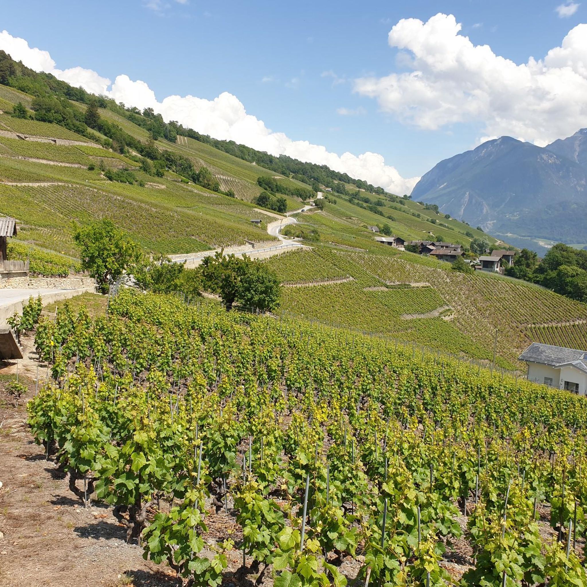
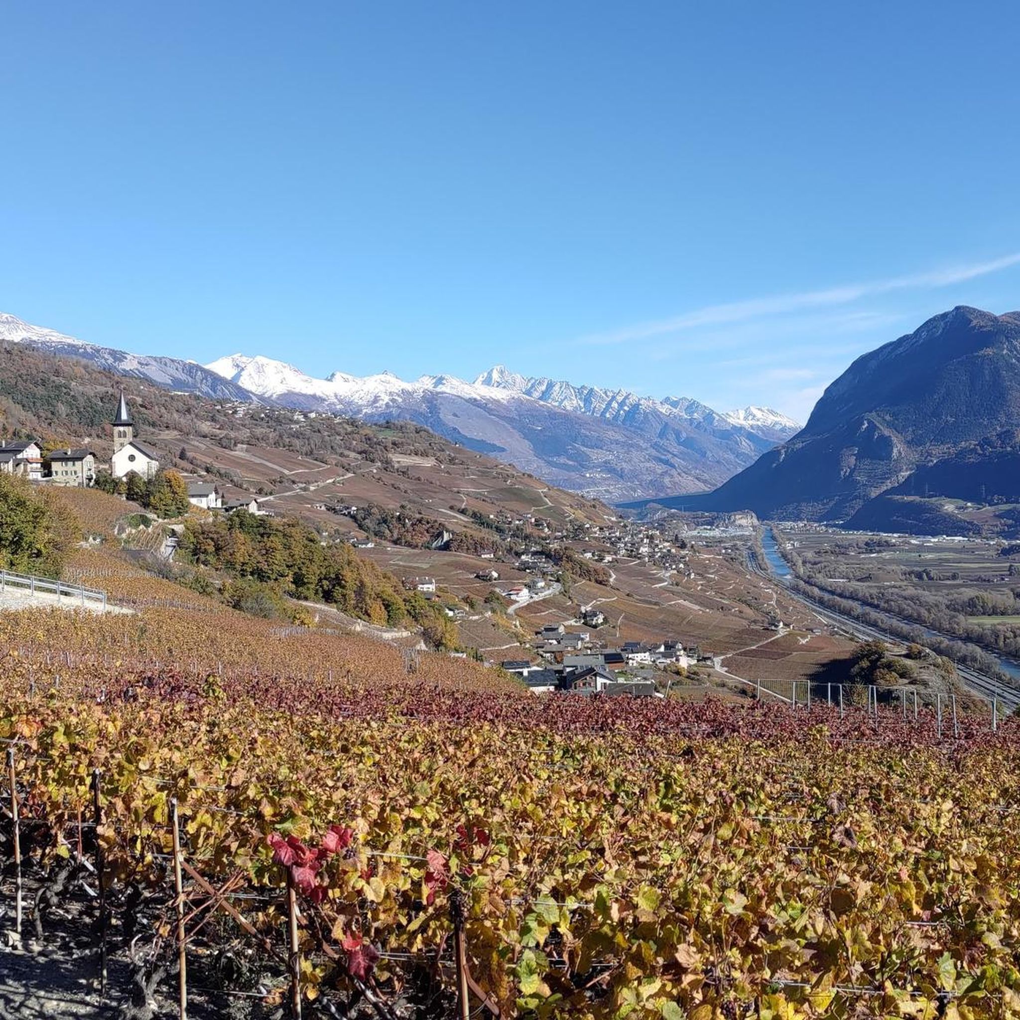
シオンの歩道橋からシエールまでの往復を行いました(車は歩道橋の隣にあるRoches Brunesの屋根付き駐車場にあります)。往復33.5km、ローヌ川沿いの大きな木々が頻繁に日陰を作る舗装されたサイクリングロードを走る、まさに至福のひとときでした。自然の湖での水泳も可能です。素晴らしい景色。A&G
0
0

After the perfectly smooth, billiard-table-like ski slopes, discover the delightful paved cycle paths along the Rhône, from Lake Geneva to Upper Valais! Explore beautiful Valais in every season!
0
0

Quiet place without cars
1
0

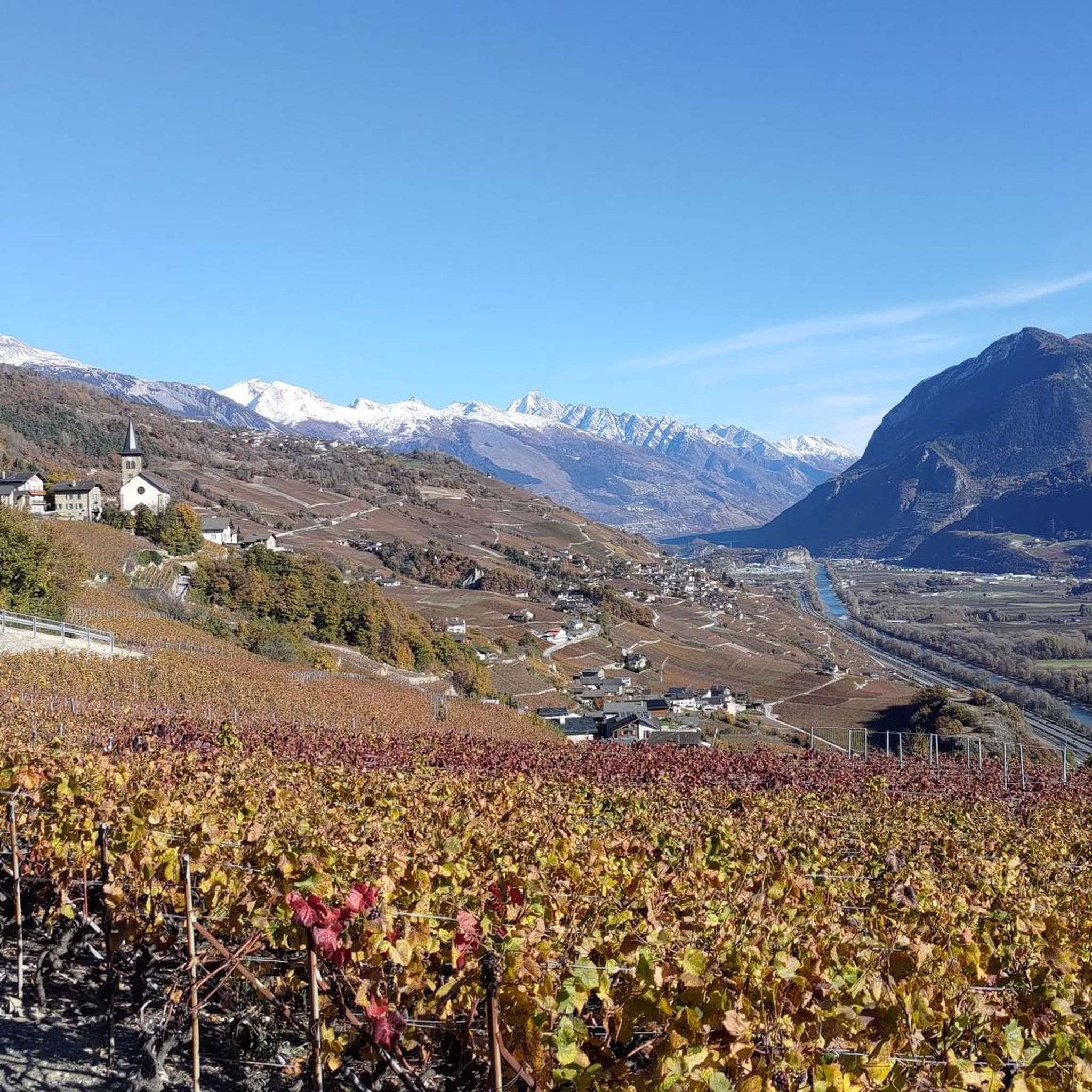
Here you can cycle along a quiet cycle path between the golf course and the Rhone. On one side you can see the orchards and on the other side you can admire the steep slopes with their equally neat vines.
3
0

magnificent view of the lake and the surrounding mountains
0
0

Short, unlit tunnel with a great view of Cry d'Er (Crans Montana)
0
0

Along the Rhone and in the shadow of the impressive summit of the Belvédère, the panorama here is superb.
1
0

Beautiful view on the other side if rhône valley. On suisse national day, 1st of august, they often do a water/laser show here.
0
0

komootモバイルアプリでインスピレーションを得よう


さらに探索
他の地域の最高のロードサイクリングルートを見てみましょう。
