コルビリョスデロスオテロスのおすすめウォーキング&ハイキングルート
4.8
(8)
53
ハイカー
4
ハイキング
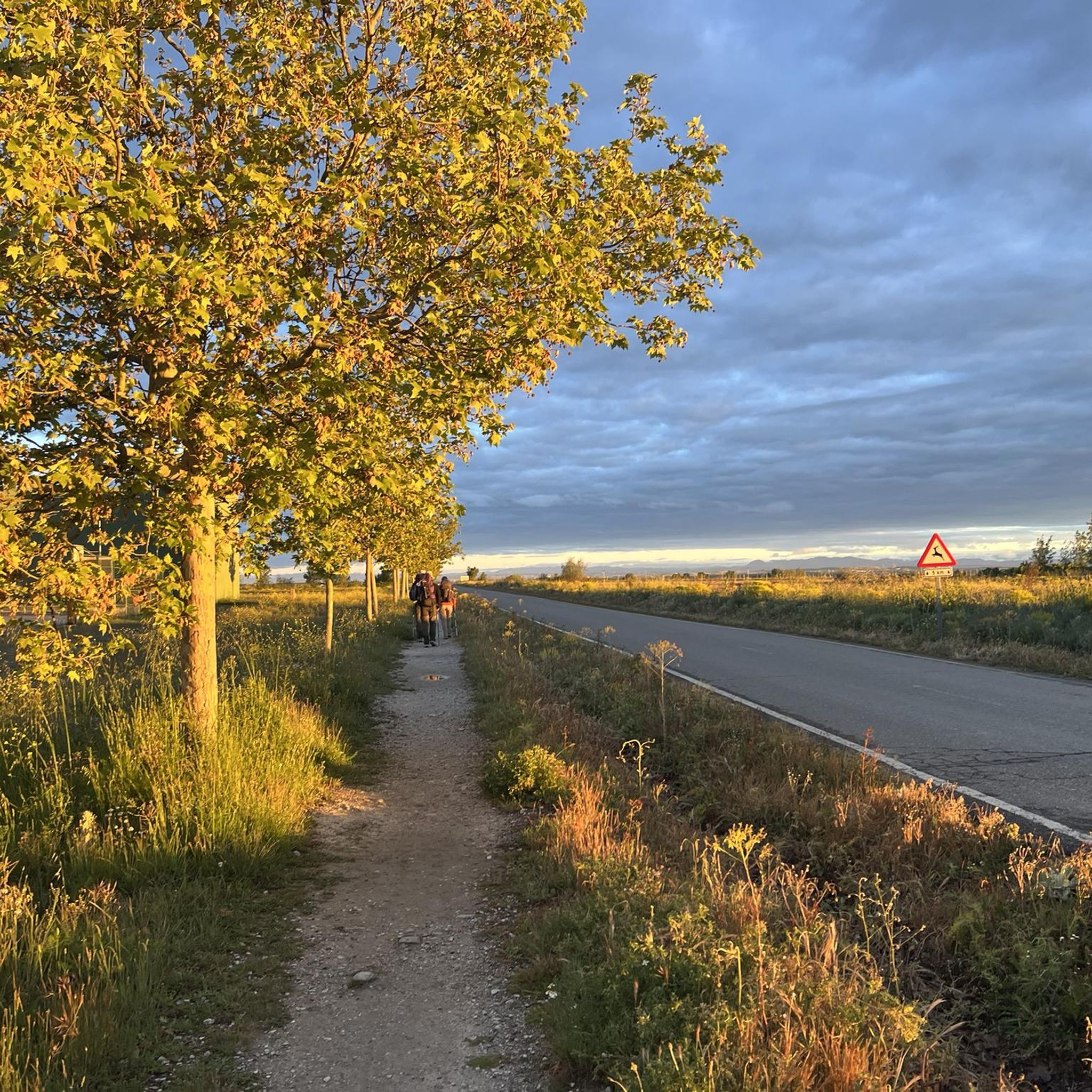
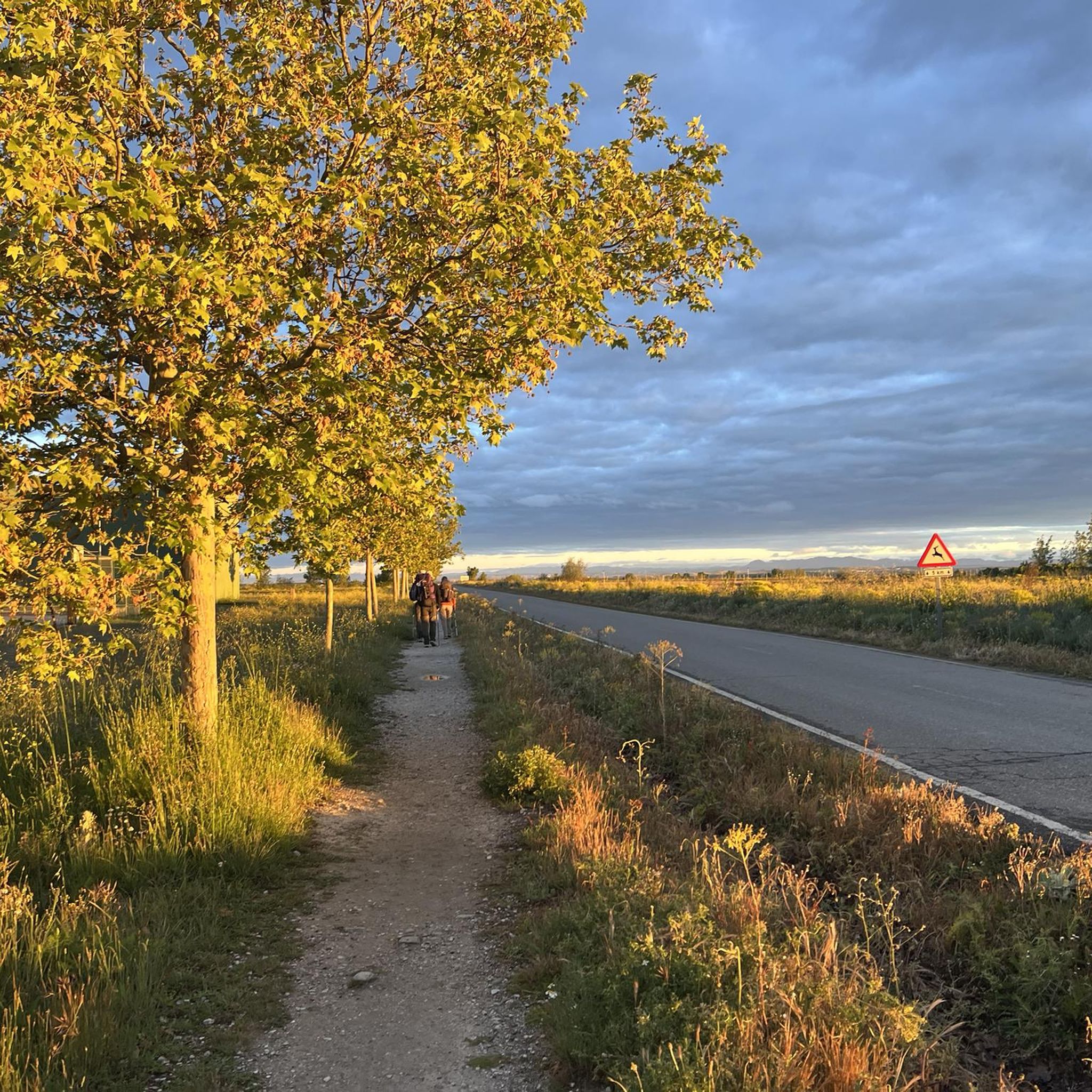
Corbillos De Los Oteros周辺のハイキングは、緩やかな傾斜、起伏のある丘、そして標高の高い*páramos*(荒野)が特徴的な景観を探索できます。この地域には、主に穀物作物の農耕地と、水流沿いのヤナギ、ヨーロッパトキワガシ、ポプラなどの自然植生が見られます。ハイカーは、遠くのカンタブリア山脈の広大な景色を体験でき、アウトドアアクティビティの景観の背景となります。この地域は鳥類の特別保護区としても知られており、その自然の魅力にさらに拍車をかけています。
Corbillos De Los Oteros周辺のベストハイキングコース
- 最も人気のあるハイキングコースは、Mansilla de las Mulas — Camino Vadinienseによる周回コースで、距離は8.1マイル(13.0 km)、所要時間は3時間17分です。この適度な難易度のコースは、半日ツアーに適した周回ルートを提供します。
- 地元のハイカーに人気のもう一つのコースは、Pilgrim Cross Monument – Puente de Villarenteへの周回コース(Mansilla de las Mulas発)で、難易度は高く、距離は14.2マイル(22.9 km)です。この長いルートは、地元の地形を通る挑戦的な体験を提供します。
- 地元のハイカーに愛されているのは、Puente de Villarente – Roman bridgeへの周回コース(Mansilla Mayor発)で、距離は7.5マイル(12.1 km)、所要時間は約3時間2分です。このコースは地元の田園地帯を抜けていきます。
- Corbillos De Los Oteros周辺のハイキングは、緩やかな傾斜、起伏のある丘、農耕地が特徴で、カンタブリア山脈の景色が楽しめます。このネットワークは、適度な難易度の散策からより難しいコースまで、さまざまなレベルのハイカーに対応するオプションを提供しています。
- Corbillos De Los Oterosのルートは、komootコミュニティから高く評価されており、5件以上のレビューで平均4.8つ星を獲得しています。50人以上のハイカーがkomootを利用して、Corbillos De Los Oterosの多様な地形を探索しています。
最終更新日: 10月 5, 2026
1
ハイカー
13.0km
03:17
30m
30m
中程度のハイキング. ある程度のフィットネスレベルが必要です。 進みやすいルートです。あらゆるスキルレベルに適しています。
4.5
(6)
27
ハイカー
22.9km
05:47
40m
40m
難しいハイキング. 標準以上のフィットネスレベルが必要です。 進みやすいルートです。あらゆるスキルレベルに適しています。

5.0
(1)
10
ハイカー
12.1km
03:03
20m
20m
中程度のハイキング. ある程度のフィットネスレベルが必要です。 進みやすいルートです。あらゆるスキルレベルに適しています。
7
ハイカー
12.7km
03:12
20m
20m
中程度のハイキング. ある程度のフィットネスレベルが必要です。 進みやすいルートです。あらゆるスキルレベルに適しています。
5.0
(1)
8
ハイカー
18.5km
04:41
40m
40m
中程度のハイキング. ある程度のフィットネスレベルが必要です。 進みやすいルートです。あらゆるスキルレベルに適しています。
おすすめのツアーは他のkomootユーザーが実際に経験した何千ものアクティビティに基づいています。
無料アカウントで今日から始めよう
次の冒険が待っています。
コルビリョスデロスオテロス周辺で人気

コミュニティからのヒント


Reliegos de las Matas, also known as Reliegos, is a small village in the municipality of Santas Martas. The village is located on the Camino Francés, the main route to Santiago de Compostela, and has a rich history dating back to the Middle Ages. The village has a long history as an important stop for pilgrims following the Camino Francés. It is located on the border of the comarcas of Tierra de Campos and Vega del Esla, which gives it a unique mix of cultural and geographical influences. The village has a beautiful parish church dedicated to San Cornelio and San Cipriano, which was built during the period of recolonization between the 9th and 10th centuries.
3
0
The old city wall of Mansilla de las Mulas (also called Mansilla de los Muros), is an impressive example of medieval fortifications. These walls probably date from before 1181, the time of the repopulation under King Ferdinand II. The walls are built of limestone and rock, and are topped with battlements. Some parts of the wall are more than 14 metres high and up to three metres thick. Of the four original gates, the gate of Santa María or de Concepción is still completely preserved. There are six semicircular towers and a square tower that are still visible.
3
0

At this point you can still see the old city wall very impressively.
2
1

Signage on the Camino de Santiago is essential for pilgrims. Yellow arrows: These arrows will guide you throughout the entire route. They indicate the direction to follow, especially at crossroads. The yellow color is due to the contribution of the parish priest Elías Valiña, a key figure in the resurgence of the Camino de Santiago in the 20th century. Cairns or milestones: These concrete blocks include an arrow, a yellow shell on a blue background and the distance in kilometers to Santiago de Compostela. You will find them every 500 meters in Galicia. Scallop shells: In addition to being drawn on the markers, scallop shells are distributed throughout the Camino. They are universal symbols and have been carried by pilgrims for centuries. The open part of the shell indicates the direction towards Santiago. Good way! 🚶♂️🌟
1
0

The monument to the pilgrim is located on the Camino Francés at the exit of Reliegos, on the outskirts of the village, next to the sports center and was inaugurated in 2013. The stone statue shows a medieval pilgrim with his typical outfits
1
1

よくある質問
コルビジョス・デ・ロス・オテロス周辺にはハイキングコースがいくつありますか?
コルビジョス・デ・ロス・オテロス周辺には4つのハイキングルートがあり、中程度から困難なものまで様々な体験ができます。これらのルートでは、この地域の独特な自然景観や農業地帯を探索できます。
コルビジョス・デ・ロス・オテロスエリアには周回ウォーキングはありますか?
はい、いくつかのルートで周回オプションが提供されています。中程度の周回ハイキングには、約13kmをカバーするマンシージャ・デ・ラス・ムラース — カミノ・バディニエンセによる周回をご検討ください。もう一つの選択肢は、マンシージャ・デ・ラス・ムラースからのレリエゴスの巡礼者記念碑 – マンシージャ・デ・ラス・ムラースからの巡礼者の十字架記念碑ループで、12km以上に及びます。
ハイキング中にどのような景観が期待できますか?
コルビジョス・デ・ロス・オテロス周辺の地域は、緩やかな傾斜、起伏のある丘、そして標高の高い páramos(高原)がユニークに組み合わさっています。特に水路沿いでは、ヤナギ、ヨーロッパトキワガシ、ポプラなどの自然植生に出会えます。穀物栽培が中心の農業景観も際立っており、遠くにはカンタブリア山脈の広大な景色を楽しむことができます。
経験豊富なトレッカー向けの挑戦的なハイキングはありますか?
はい、より困難な体験を求める方のために、マンシージャ・デ・ラス・ムラースからの巡礼者の十字架記念碑 – プエンテ・デ・ビジャレンテのループは困難に分類されています。このルートは約22.9kmで、経験豊富なハイカーに十分な挑戦を提供します。
ハイキング中にランドマークや興味深い場所として何を見ることができますか?
ハイキング中には、いくつかの興味深い場所を発見できます。歴史的なマンシージャ・デ・ラス・ムラースのエスラ川橋や、ユニークなレリエゴス隕石衝突サイトに出会うかもしれません。この地域には、サンティアゴ巡礼路 距離標識:レオンまで334.9kmのような、サンティアゴ巡礼路に関連する標識もあります。
コルビジョス・デ・ロス・オテロスはバードウォッチングに適した場所ですか?
はい、もちろんです。コルビジョス・デ・ロス・オテロスの周辺の農耕地は、鳥類の特別保護区(ZEPA)の一部となっています。そのため、ハイイロチュウヒ、ノガン、コノガン、ヨーロッパヤマウズラ、コジュケイなどの種が頻繁に観察される、バードウォッチングに最適な場所です。
コルビジョス・デ・ロス・オテロスでのハイキングについて、他のハイカーが最も楽しんでいる点は何ですか?
この地域はkomootコミュニティから高く評価されており、平均スコアは4.8つ星です。レビューでは、静寂な環境、特徴的な自然景観、そしてなだらかな丘陵地帯や農耕地を巡る穏やかな散策の機会がしばしば称賛されています。
半日程度の外出に適した、中程度の長さのハイキングコースはありますか?
はい、半日程度の外出に最適な中程度のコースがいくつかあります。 マンシージャ・マヨール発、プエンテ・デ・ビジャレンテ~ローマ橋ループは約12km、 マンシージャ・デ・ラス・ムラス~カミノ・バディニエンセ周回コースは13km弱で、どちらも楽しめる中程度の体験を提供します。
トレイルでどのような野生生物に出会う可能性がありますか?
コルビジョス・デ・ロス・オテロス周辺の自然環境は、多様な鳥類に加えて、さまざまな哺乳類の生息地となっています。キツネ、ノロジカ、イベリアノウサギを見かけるかもしれません。一部の地域ではオオカミやイノシシも生息しており、この地域の豊かな生物多様性をさらに高めています。
サンティアゴ巡礼路に沿ったルートはありますか?
この地域の多くのルートは、サンティアゴ巡礼路の一部と交差したり、並行して走ったりしています。例えば、 レリエゴス発、巡礼者の十字架記念碑~マンシージャ周回コースは、巡礼者の旅を垣間見ることができる、中程度の18.4kmのルートです。
コルビリョスデロスオテロスでのの人気観光スポット

komootモバイルアプリでインスピレーションを得よう


さらに探索
他の地域の最高のハイキングを見てみましょう。
