ゴムの天然記念物・トップ20
ゴムが誇る美しい風景を見てみたいなら、ゴムの素晴らしい天然記念物・トップ20
に行ってみましょう。あなたにぴったりの場所が見つかるよう、素晴らしい天然記念物を探索するために必要なすべての情報を集めました。次のアウトドアの冒険に出かける計画の参考にしましょう。
最終更新日: 10月 12, 2026
Eggishorn
ハイライト • 展望台
翻訳者 Google •
役立つ情報 は

ベットマーホルンからのアレッチ氷河の眺め
ハイライト • 展望台
翻訳を表示中
役立つ情報 は

今すぐサインアップして、こんな場所を発見しよう
最高のシングルトラック、ピーク、その他のエキサイティングなアウトドアスポットのおすすめを受け取ろう。
トゥウィンギ渓谷
ハイライト (セグメント) • 峡谷
翻訳者 Google •
役立つ情報 は

メルジェレン湖
ハイライト • 湖
翻訳者 Google •
役立つ情報 は

ユングフラウヨッホ
ハイライト • 山頂
翻訳を表示中
役立つ情報 は

グリムゼル峠とトーテンゼー
ハイライト • 山道
翻訳者 Google •
役立つ情報 は

グリムセル峠の大陸分水嶺記念碑
ハイライト • 記念碑
The Grimsel Pass is in the heart of the Alps, an exceptional natural area. From a hydrological point of view, the large amounts of precipitation …
翻訳者 Google •
役立つ情報 は

View Point Eggishorn
ハイライト • 展望台
翻訳を表示中
役立つ情報 は

ローヌ氷河
ハイライト • 自然記念物
翻訳者 Google •
役立つ情報 は


無料アカウントで今日から始めよう
次の冒険が待っています。
ゴム周辺で人気
スイスのゴッタールド山脈でフローを見つける — フォースプリングストレイル
歴史と自然の2日間 – スイスのフルカハイトレイル
スイスが提供するすべて - アーレルート
バレー・ウィークエンダー - スイスのシンプロン地方での冒険3日間

純粋な山の楽しみの34ステージ - スイスのアルプス山峠トレイルでハイキング
ルロナンドルックリ - ゴルックアースがなラインスラードが
バインタルからイタリアまでの騾馬道
Rugged trails, spectacular views: trail adventures in the high valley of Goms
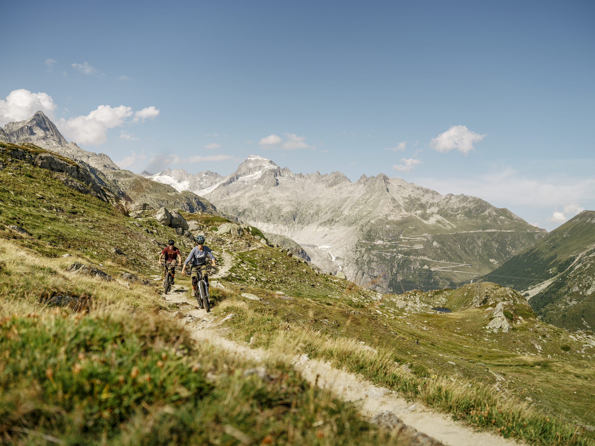
MTB adventures in the Upper Valais – Valais Panorama Bike Switzerland
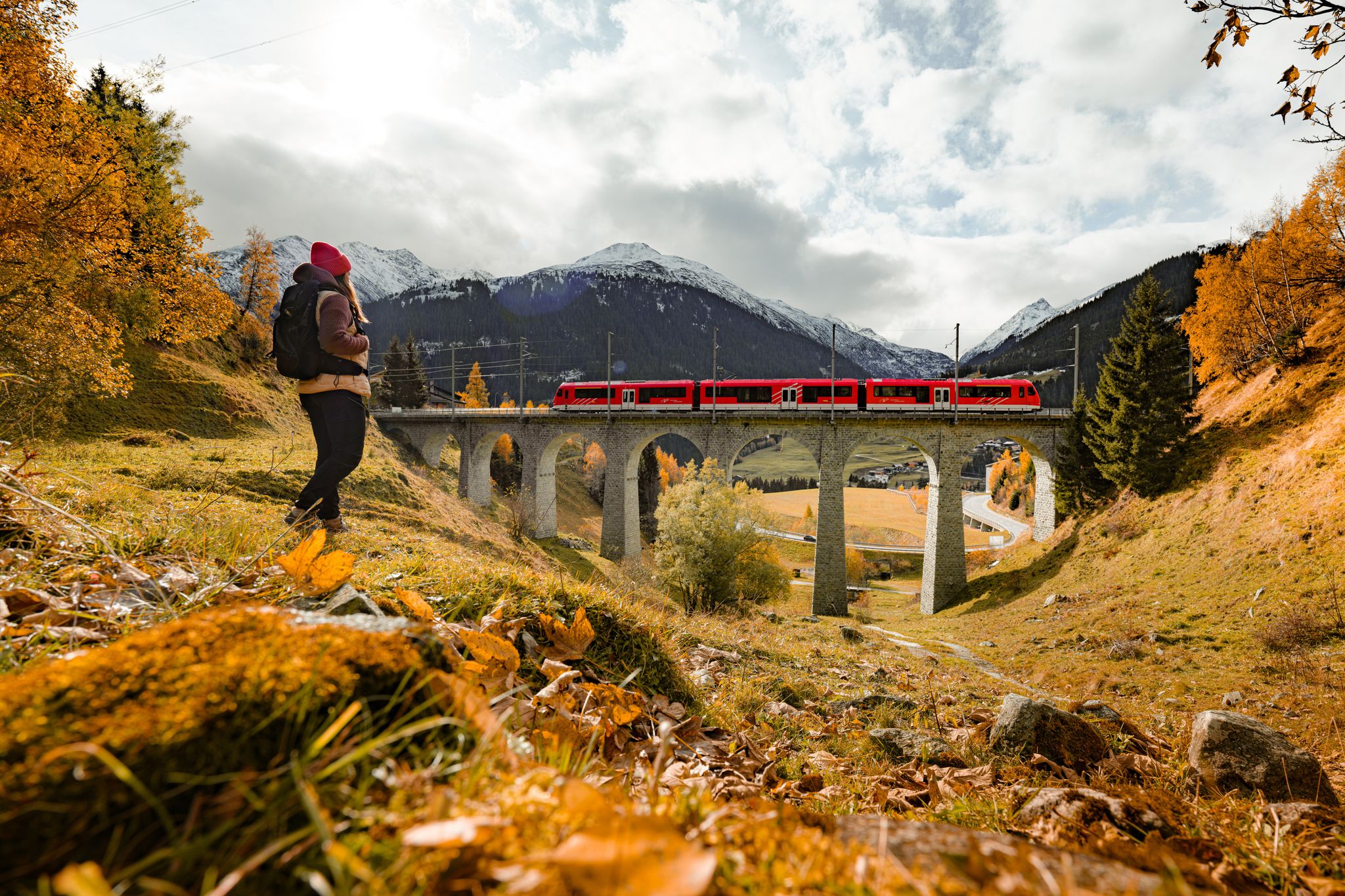
Fantastic hiking through the Alps with the Matterhorn Gotthard Railway
ゴムでのの他の冒険


コミュニティからのヒント

スフィンクス展望台からは、ユネスコ世界自然遺産であるユングフラウ・アレッチュ・スイスアルプスに属する、広大なアレッチュ氷河の永遠の氷の印象的な眺めを楽しむことができます。
10
0

At 2,478 meters above sea level, the Nufenen Pass (Nufenenpass in German) connects the Goms Valley in the upper Valais with the Bedretto Valley in the upper Ticino. From Airolo, the climb is approximately 22 kilometers (average gradient 5.6%), while from Ulrichen it is shorter but more challenging: 14 kilometers at an average gradient of approximately 7.9%.
0
0

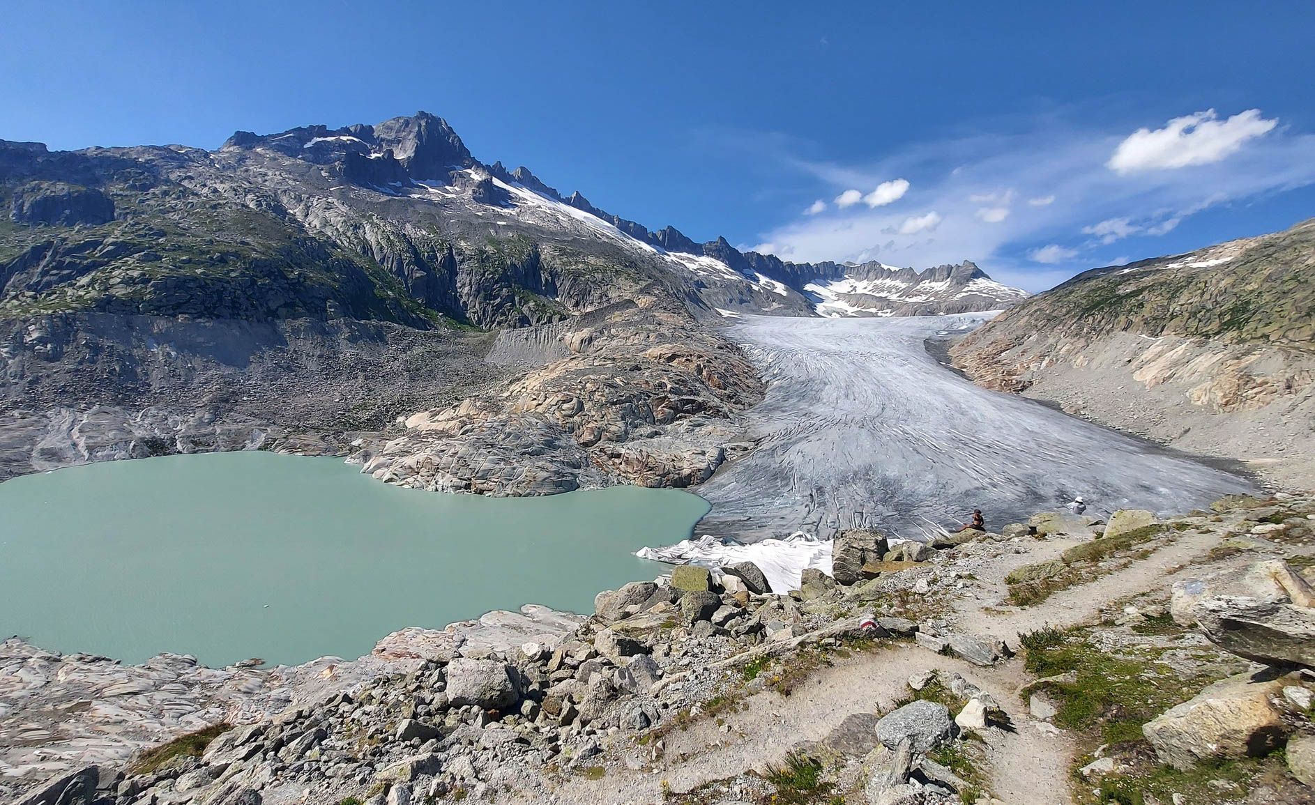
The Rhone Glacier (sometimes also called Rotten Glacier) is a valley glacier in the source area of the Rhone in the extreme northeast of the canton of Valais in the central Alps of Switzerland. It is almost eight kilometers long, has an average width of about two kilometers and covers an area of about 15 km². The glacier was a major tourist attraction, especially in the 19th and early 20th centuries, due to its tongue, which at that time still extended far down into the valley near Gletsch.
1
0


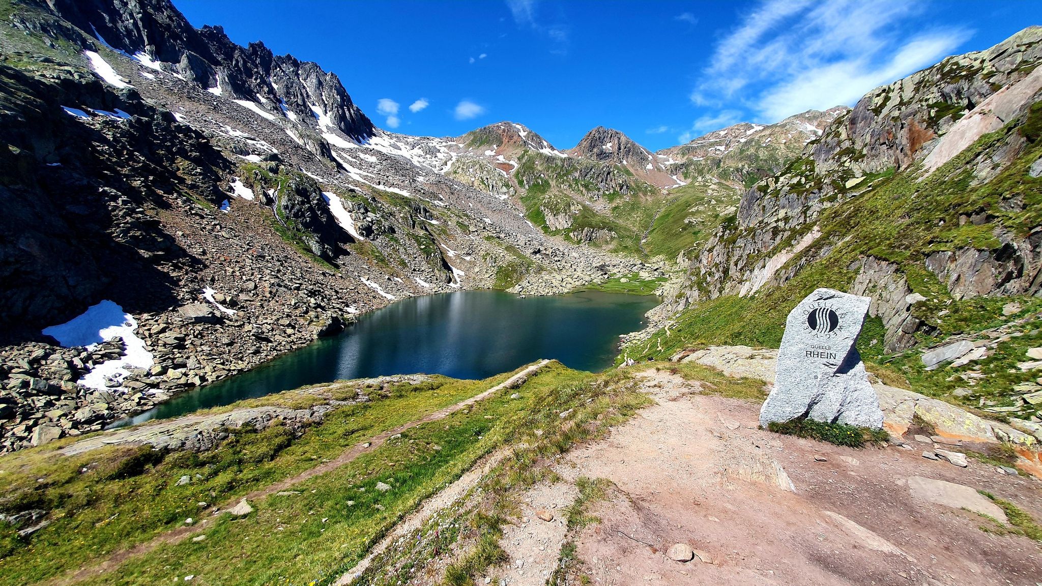
Speaking of the Grimsel Pass: The Grimsel Pass is in the heart of the Alps, an exceptional natural area. From a hydrological point of view, the large amounts of precipitation are unique. Here at the Grimsel Pass, this is an average of around 2300 litres per square metre per year. 300 litres of this evaporate per square metre, and 2000 litres per square metre leave the region as runoff in the Rhone or Aare. That is a lot of water: twice as much as the Swiss average and almost seven times as much as the average in Germany. Depending on which side of the pass the water drops reach the earth's surface, they flow into the Mediterranean or the North Sea. The Aare, with a total length of around 290 km, flows through the cantons of Bern, Solothurn and Aargau, crossing Lake Brienz, Lake Thun and Lake Biel. It is the longest river located entirely in Switzerland. Although the Aare carries more water on average at the confluence with the Rhine, it loses its name. After another 1000 km of flow, the Aare water flows into the North Sea as part of the Rhine. The Rhone, on the other hand, keeps its name until it flows into the Mediterranean. Its approximately 810 km long flow takes it through the Valais into Lake Geneva and from there via Lyon into the French Rhone Valley, where it repeatedly receives tributaries from the Western Alps. While the Aare flows into an oceanic climate, the Rhone carries the water from the Grimsel Pass into the Mediterranean climate zone, where the abundant snow and glacier meltwater from alpine rivers is very popular in the dry summers.
2
0

Here you have a breathtaking view of the glacier. Unforgettable!
12
0

komootモバイルアプリでインスピレーションを得よう


探していたものは見つかりませんでしたか?
地域ごとのトップハイライトをチェックして、さらに素晴らしい自然のモニュメントを見つけましょうゴムでの:
さらに探索
これらのガイドで、最高の洞窟を探す範囲を広げましょうゴムでの:
