ヴァレーの天然記念物・トップ20
ヴァレーが誇る美しい風景を見てみたいなら、ヴァレーの素晴らしい天然記念物・トップ20
に行ってみましょう。あなたにぴったりの場所が見つかるよう、素晴らしい天然記念物を探索するために必要なすべての情報を集めました。次のアウトドアの冒険に出かける計画の参考にしましょう。
最終更新日: 11月 9, 2026
Eggishorn
ハイライト • 展望台
翻訳者 Google •
役立つ情報 は

アラリンホルン山頂
ハイライト • 山頂
翻訳者 Google •
役立つ情報 は

今すぐサインアップして、こんな場所を発見しよう
最高のシングルトラック、ピーク、その他のエキサイティングなアウトドアスポットのおすすめを受け取ろう。
ヴァイスミース山頂
ハイライト • 山頂
翻訳者 Google •
役立つ情報 は

ピエール・アヴォワ
ハイライト • 山頂
役立つ情報 は

ドン・ド・ヴァレレット山頂
ハイライト • 山頂
翻訳者 Google •
役立つ情報 は

デュフールシュピッツェ山頂
ハイライト • 山頂
Mountaineering difficulty G6
Used time 14 hours
翻訳者 Google •
役立つ情報 は

Riffelsee
ハイライト • 展望台
翻訳者 Google •
役立つ情報 は

ビショルン山頂
ハイライト • 山頂
役立つ情報 は

ベルヴュー峰
ハイライト • 山頂
翻訳者 Google •
役立つ情報 は

ゴルナーグラート展望台
ハイライト • 展望台
翻訳者 Google •
役立つ情報 は

無料でサインアップして、さらに多くの自然記念物を発見しましょう ヴァレーでの。
すでにアカウントをお持ちですか?
無料アカウントで今日から始めよう
次の冒険が待っています。
ヴァレー周辺で人気
Mapped by our Explorers. Made for your Next Adventure.
究極のアルパイン・アドベンチャー - ウォーカーズ・オート・ルート
Alpine Passes Trail - サウファーシラールトリアルド 700km インスラールト
ロンドリーからトノン・レ・ベンにかけるハイキング、ユーロパトレイル(GR 5)
ウルトラ・トレイル・ドゥ・モンブラン - 伝説の足跡を追う
スイスのローチベルグパノラマトレイルでのアルプス眺め4日間
スイスのゴッタールド山脈でフローを見つける — フォースプリングストレイル
歴史と自然の2日間 – スイスのフルカハイトレイル
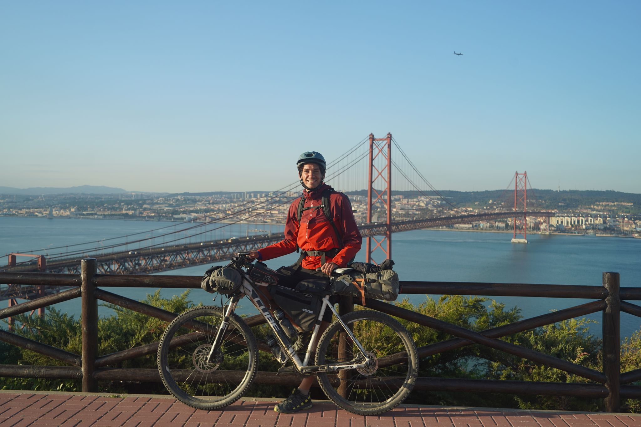
リスボンへの道 – アルプス、ピレネース、ピコス・デ・エウロパをバイクパッキング
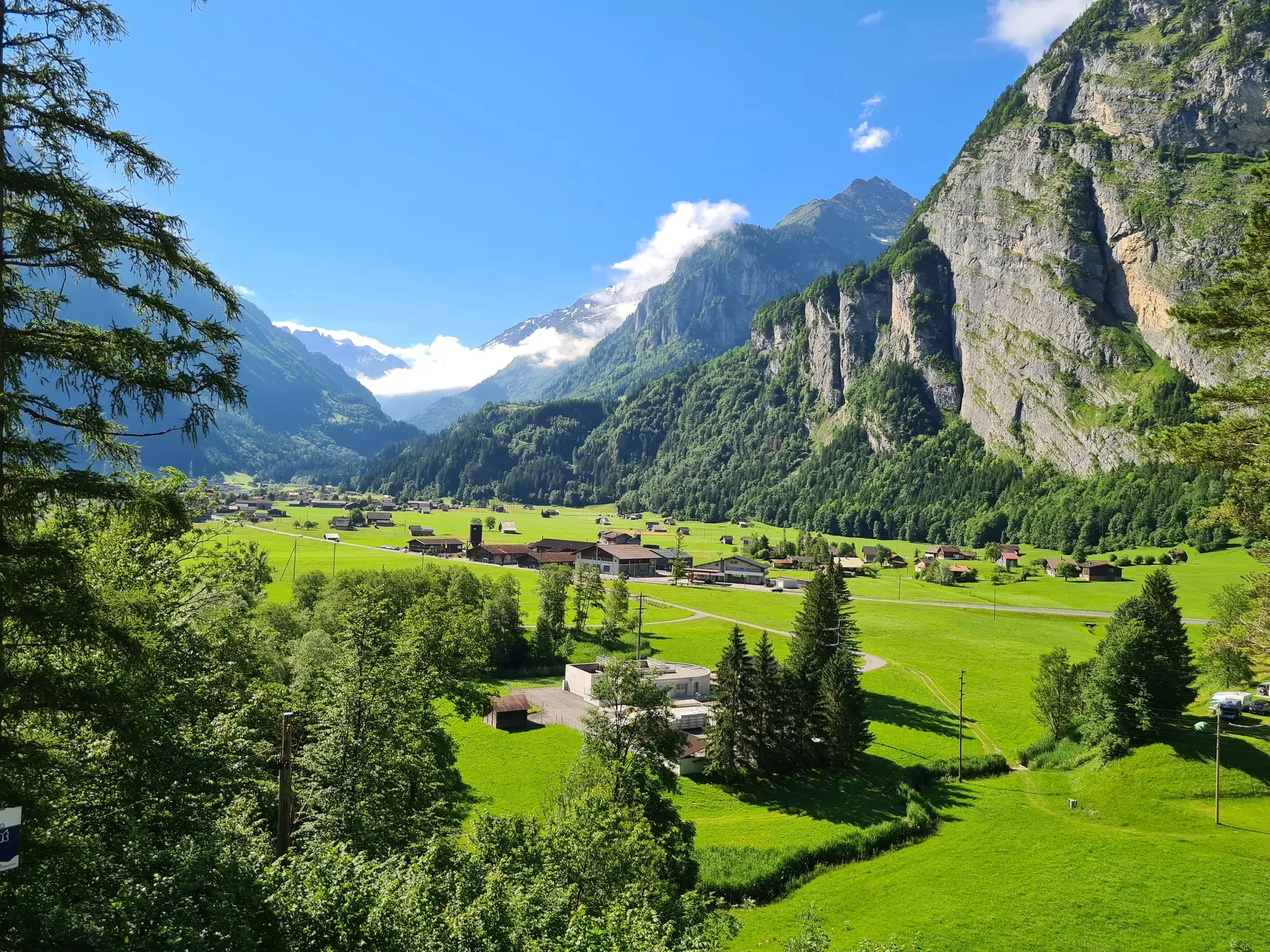
スイスが提供するすべて - アーレルート
ヴァレーでのの他の冒険


コミュニティからのヒント

The Weissmies is the highest peak of the Weissmies/Lagginhorn/Fletschhorn trio. It is listed on the new maps at only 4017 m; previously, the elevation was given as 4023 m. The six meters of elevation loss is due to the melting of the summit cap, which is made entirely of ice. In return, the secondary peak to the southeast of the highest point (formerly P. 3965) has been upgraded by seven meters to 3972 m.
0
0

When visibility is good, the summit of the Weissmies at 4,013 meters offers a magnificent view of the two other peaks of the Weissmies Group (Fletschhorn and Lagginhorn), as well as the Mischabel Group (with the Dom as its highest point) on the other side of the valley. However, during our ascent, we could see... nothing (fog).
1
1

A mountain guide is highly recommended, especially if you're doing this for the first time. You can also book one a few days in advance on site.
25
0
The Allalinhorn is a four-thousand-meter peak, perhaps the easiest in the Alps from a technical perspective. Since 1984, an underground funicular has operated along its northern flank, taking it up to 570 meters above sea level, significantly shortening the climb.
27
0

Very beautiful peak. One of my favorite mountains.
5
0

The circular trail is almost 500 metres long and always offers you the perfect view of the UNESCO World Heritage Swiss Alps Jungfrau-Aletsch. Information boards along the route provide interesting facts about the largest ice stream in the Alps and the surrounding mountains. The circular trail starts directly at the Eggishorn mountain station.
11
0

Long way to the top but rewarded with a breathtaking view.
0
0

Everyone wants to take the perfect photo, but you can only do that if you're lucky - when the sun is shining, it's not raining and the summit is clear of clouds. We were lucky and we're over the moon!
3
0

komootモバイルアプリでインスピレーションを得よう


探していたものは見つかりませんでしたか?
地域ごとのトップハイライトをチェックして、さらに素晴らしい自然のモニュメントを見つけましょうヴァレーでの:
さらに探索
これらのガイドで、最高の洞窟を探す範囲を広げましょうヴァレーでの:
