デュルヘナースドルフの天然記念物・トップ20
デュルヘナースドルフが誇る美しい風景を見てみたいなら、デュルヘナースドルフの素晴らしい天然記念物・トップ20
に行ってみましょう。あなたにぴったりの場所が見つかるよう、素晴らしい天然記念物を探索するために必要なすべての情報を集めました。次のアウトドアの冒険に出かける計画の参考にしましょう。
最終更新日: 9月 1, 2026
ケルベルシュタインとケルベルシュタインボード
ハイライト • 山頂
翻訳者 Google •
役立つ情報 は

コットマーのシュプレー川源流
ハイライト • 川
翻訳者 Google •
役立つ情報 は

今すぐサインアップして、こんな場所を発見しよう
最高のシングルトラック、ピーク、その他のエキサイティングなアウトドアスポットのおすすめを受け取ろう。
無料新規登録
テウフェルスフェンスタ(奇岩)
ハイライト • 自然記念物
翻訳者 Google •
役立つ情報 は

オーバーオーダーヴィッツァー・シュピッツベルク山頂
ハイライト • 山頂
翻訳者 Google •
役立つ情報 は


無料アカウントで今日から始めよう
次の冒険が待っています。
ログインまたは登録

コミュニティからのヒント


The money cellar is an interesting rock formation
0
0

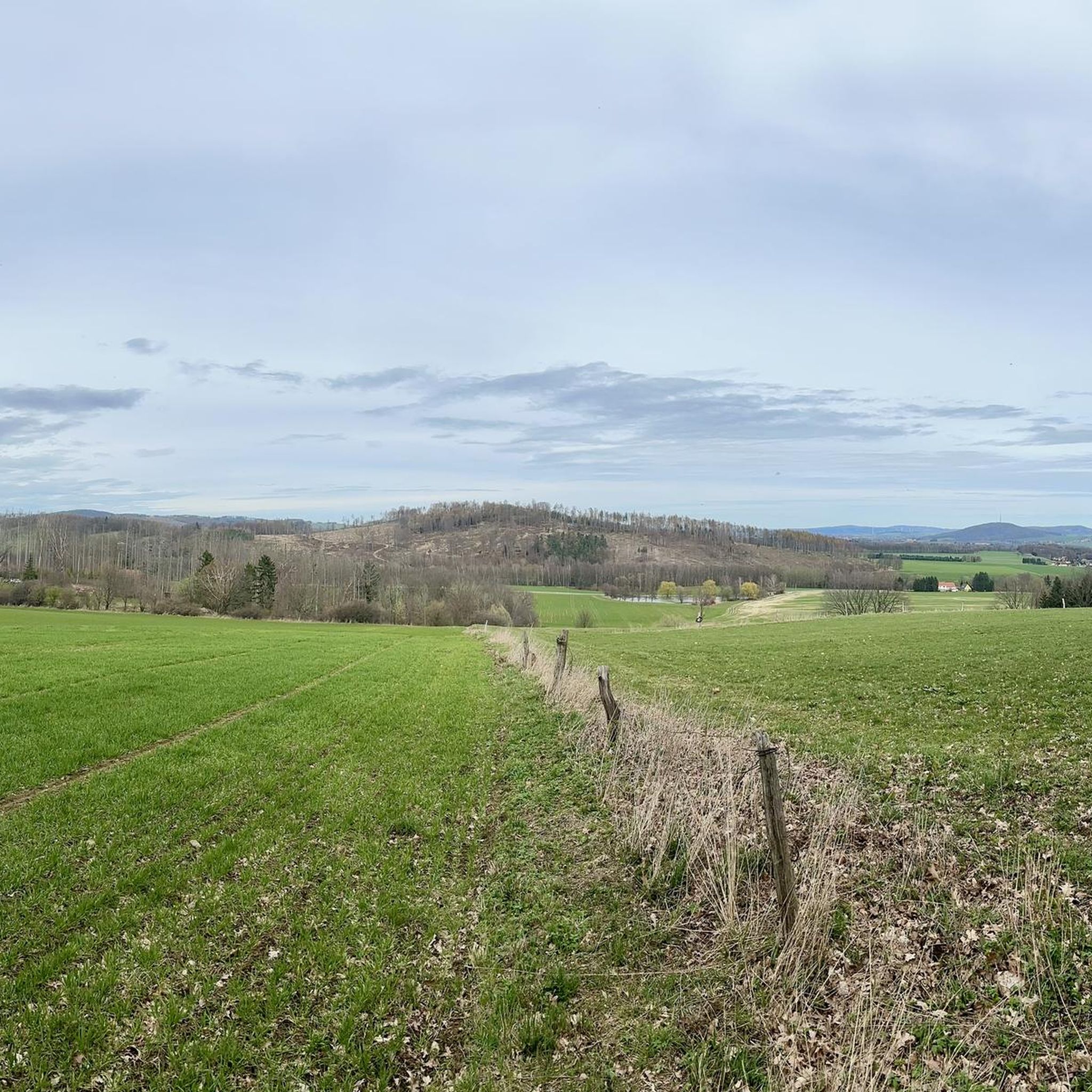
Source of the Spree River on the Kottmar Mountain. Information: The Spree River has three official sources: on the Kottmar Mountain, in Neugersdorf, and in Ebersbach. The highest official source of the Spree is located on the Kottmar, at an elevation of 478 meters. Since 1921, it has been surrounded by a memorial to those who fell in the First World War. The Spree is a left tributary of the Havel River, almost 400 kilometers long. It originates in the Lusatian Mountains near the border with the Czech Republic.
3
0

Great rock formation near the mountain inn
0
0

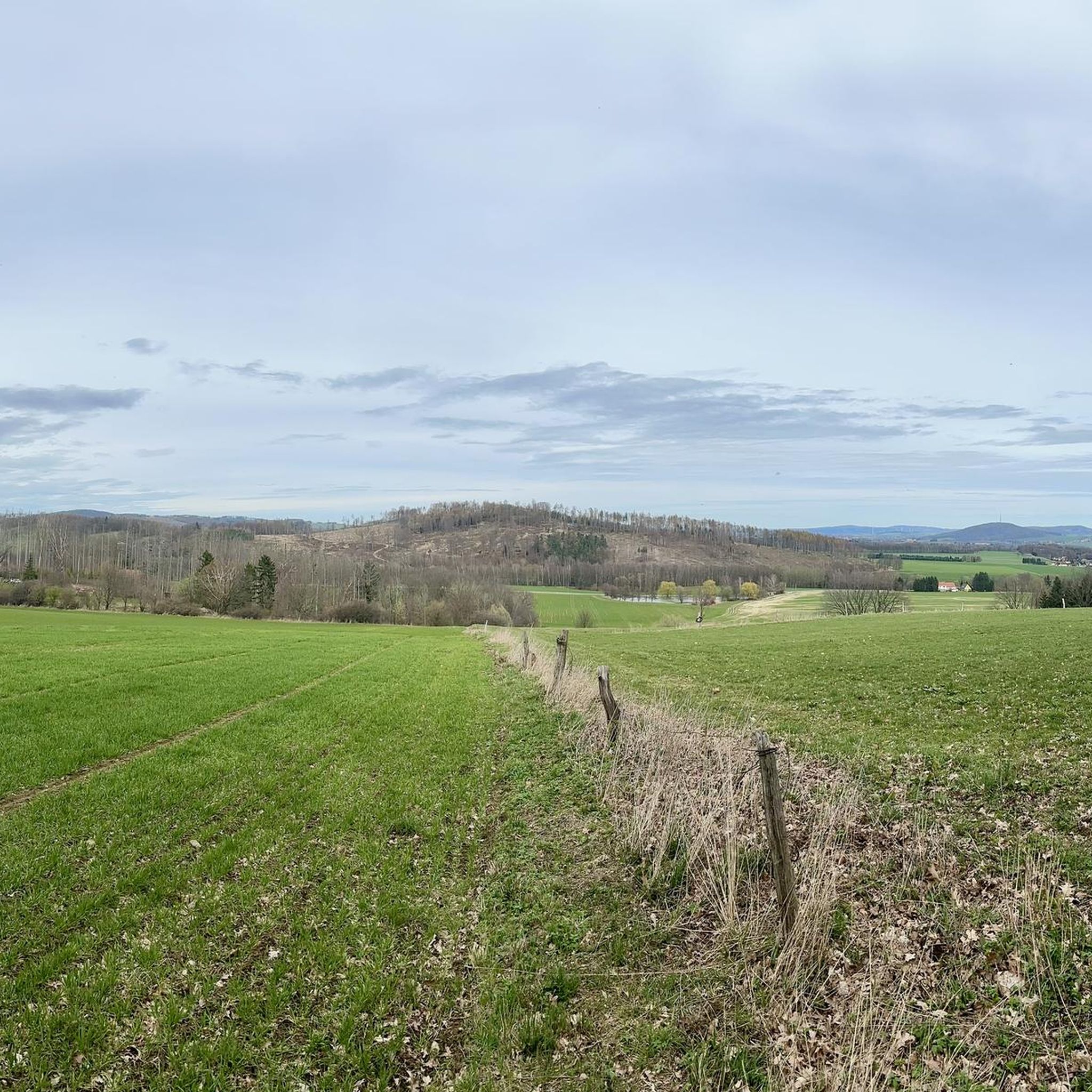
510m high and great all-round view, all mountains in the area are marked. Royal Saxon triangulation column at the summit (1864).
1
0

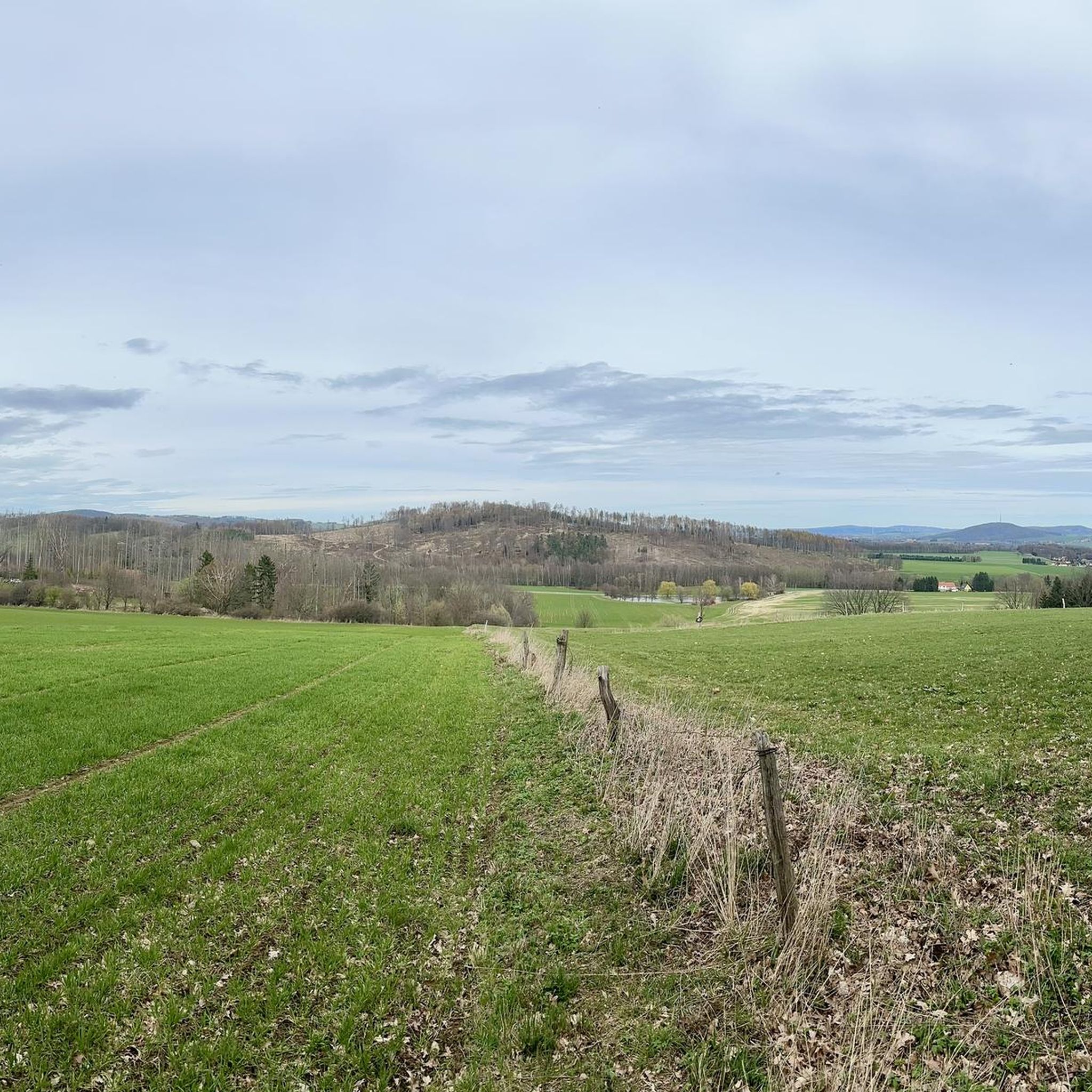
The Oderwitzer Spitzberg offers a fantastic 360° panoramic view, is geologically interesting, was a triangulation point of the Saxon state survey of 1864.
1
0

The festival play "Barbarossa's Awakening" was performed here on June 23, 1872. The plot of the play involves Germany's uprising and unification in 1871.
0
0
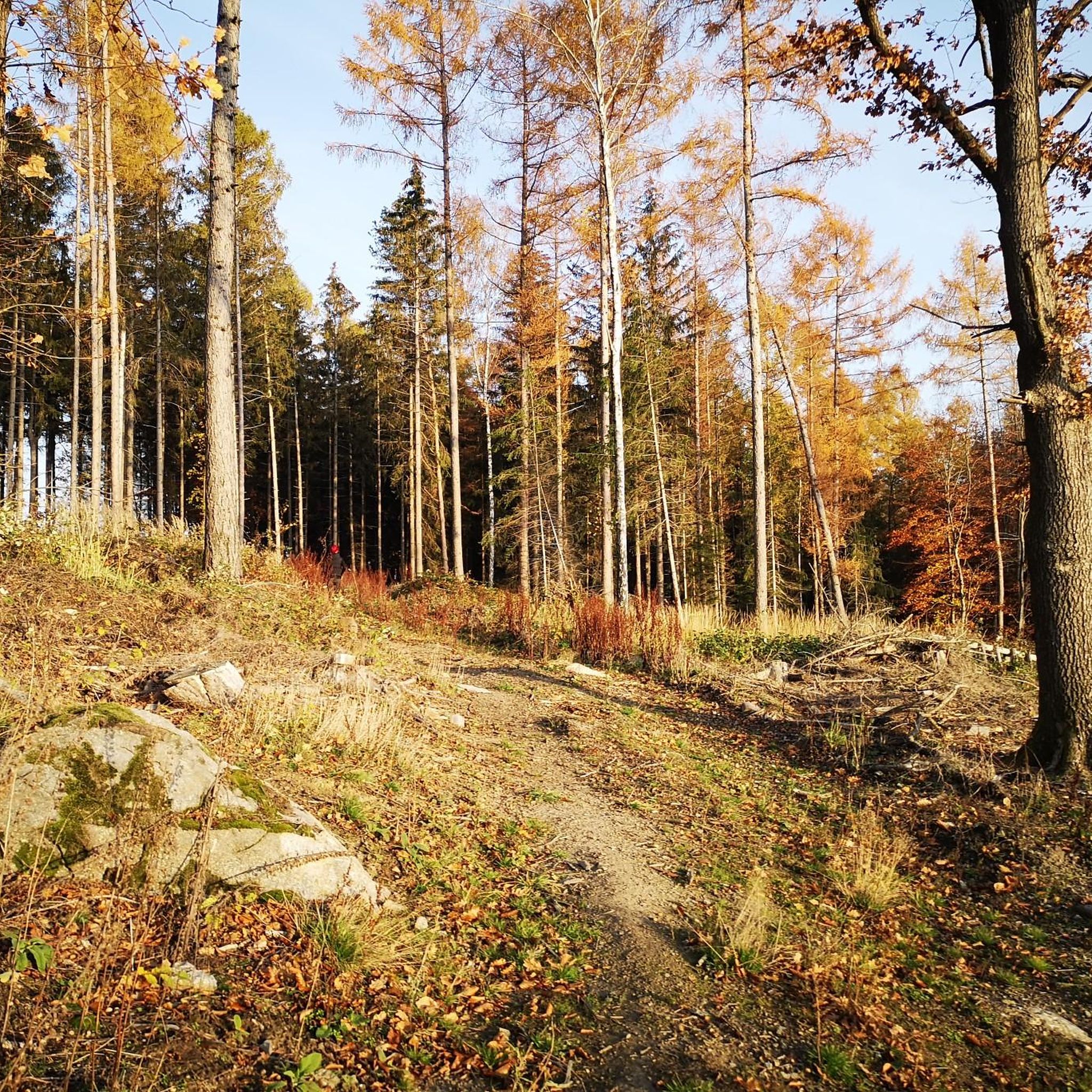
The Geldkeller is located on the eastern slope directly at the castle rampart - a very striking rock formation. At the north foot there is a small cave, which gave the rock its name. A legend tells that in this cave on St. John's Day (three days after the summer solstice) a wall opens and gold is found in a secret cellar. In fact, on the morning of the summer solstice, the sun shines through a viewing slit into the cave and paints a golden spot of light on the inner wall of the cave entrance. At sunset, on the summer solstice, the sun shines directly through the entrance to the cave, giving the interior a golden glow. Large boulders piled one on top of the other form two viewing windows above the cave entrance. One allows a view of the morning sun of spring and autumn, as well as the morning sun of the winter solstice and opposite the evening sun of the summer solstice. The second viewing window is just to the east of the cave entrance. Here the sun appears at the winter solstice at the moment when it disappears behind the hill fort at Berggrad and at the evening sun in spring and autumn. The Geldkeller is very easy to reach. A road leads to the Löbauer Berg. There is a parking lot between the two hilltops. From here you walk in the direction of the radio tower. Then follow the course of the ramparts until the path leads through the ramparts to a small rock in the east. This rock is the money cellar. The way is also signposted. Source: Hand of the Gods
1
0
デュルヘナースドルフでのの人気観光スポット

komootモバイルアプリでインスピレーションを得よう


さらに探索
これらのガイドで、最高の洞窟を探す範囲を広げましょうデュルヘナースドルフでの:
