ベルンシュタットアウフデムアイゲンの天然記念物・トップ20
ベルンシュタットアウフデムアイゲンが誇る美しい風景を見てみたいなら、ベルンシュタットアウフデムアイゲンの素晴らしい天然記念物・トップ20
に行ってみましょう。あなたにぴったりの場所が見つかるよう、素晴らしい天然記念物を探索するために必要なすべての情報を集めました。次のアウトドアの冒険に出かける計画の参考にしましょう。
最終更新日: 9月 14, 2026
ランデスクローネ展望塔
ハイライト • 展望台
翻訳者 Google •
役立つ情報 は

コットマーのシュプレー川源流
ハイライト • 川
翻訳者 Google •
役立つ情報 は

今すぐサインアップして、こんな場所を発見しよう
最高のシングルトラック、ピーク、その他のエキサイティングなアウトドアスポットのおすすめを受け取ろう。
廃墟の十字架(Das Verlassene Kreuz)
ハイライト • 記念碑
翻訳者 Google •
役立つ情報 は

ゲルトケラーの岩場
ハイライト • 自然記念物
翻訳者 Google •
役立つ情報 は

ゲオルゲヴィッツァー・スカラ
ハイライト (セグメント) • 峡谷
翻訳者 Google •
役立つ情報 は

無料でサインアップして、さらに多くの自然記念物を発見しましょう ベルンシュタットアウフデムアイゲンでの。
すでにアカウントをお持ちですか?
無料アカウントで今日から始めよう
次の冒険が待っています。

コミュニティからのヒント


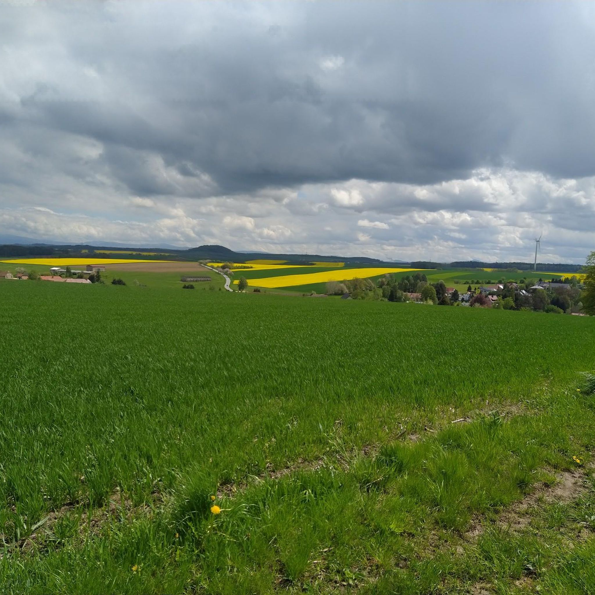
A beautiful view from the local mountain of Görlitz
2
0

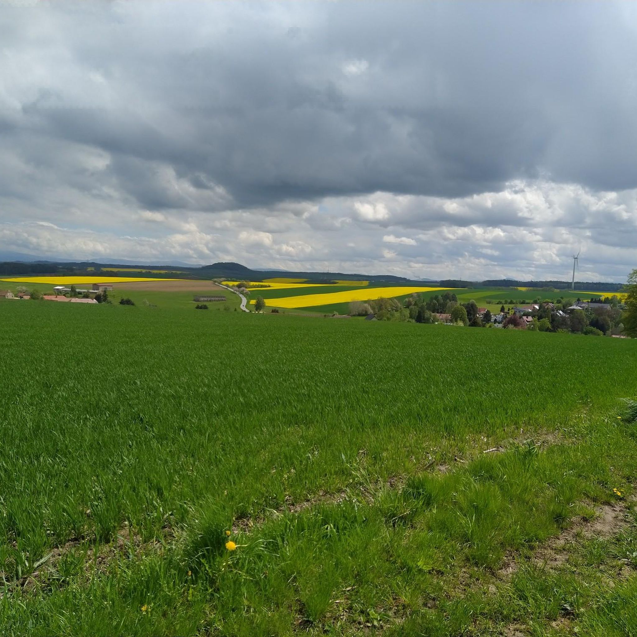
The money cellar is an interesting rock formation
0
0

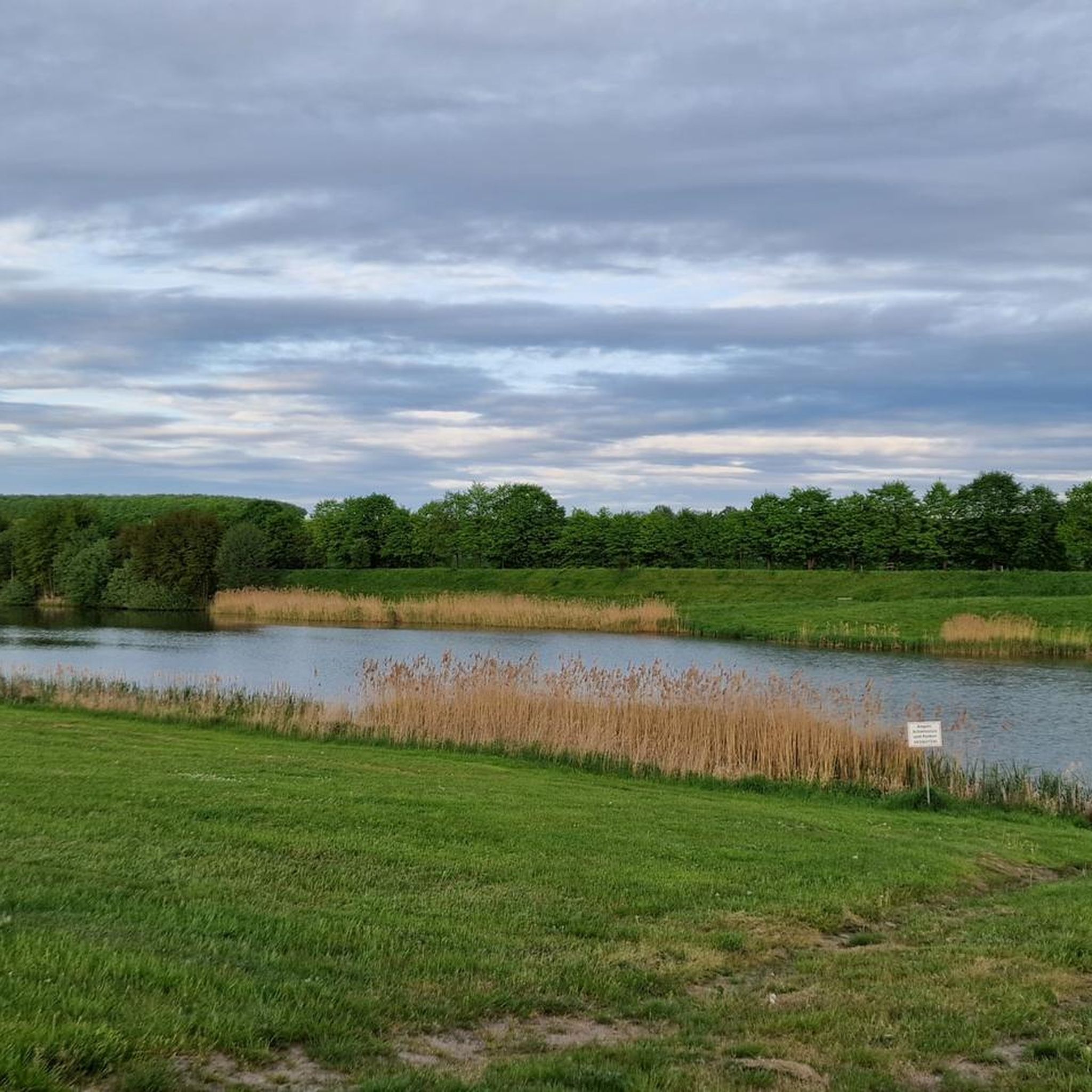
Source of the Spree River on the Kottmar Mountain. Information: The Spree River has three official sources: on the Kottmar Mountain, in Neugersdorf, and in Ebersbach. The highest official source of the Spree is located on the Kottmar, at an elevation of 478 meters. Since 1921, it has been surrounded by a memorial to those who fell in the First World War. The Spree is a left tributary of the Havel River, almost 400 kilometers long. It originates in the Lusatian Mountains near the border with the Czech Republic.
3
0

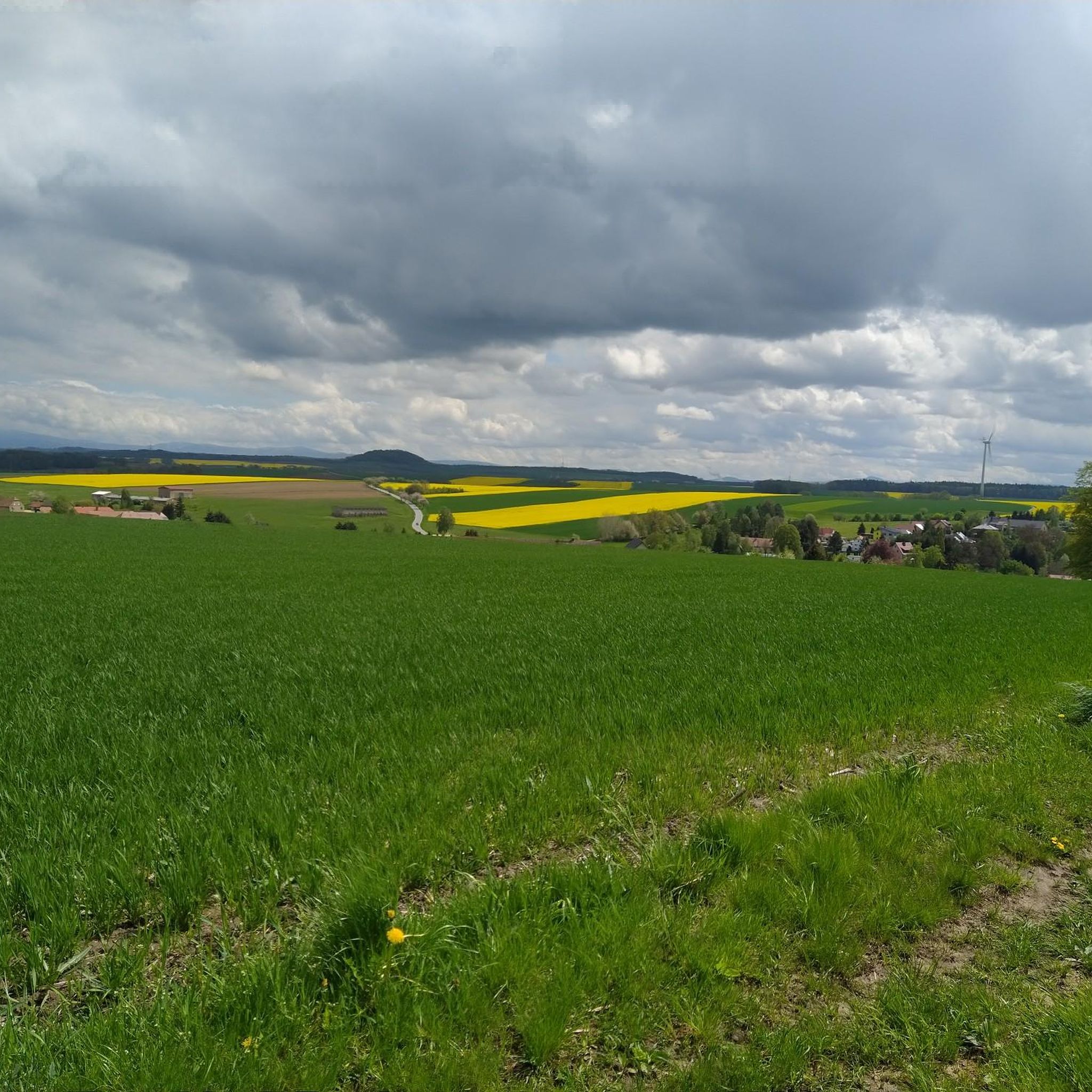
A real insider tip for a nice hike without many people.
0
0

The so-called "Abandoned Cross" is enthroned on top of the rocky outcrop, in the rock a little below it a holy figure was also placed in a small grotto/niche formed by a rocky outcrop. This is probably a statue of the Mother of God.
3
0

Very nice bike path
1
1

The Georgewitzer Skala was created over a length of approx. 1.3 km by the erosive action of the Löbau water as a deeply incised, south-north oriented, canyon-like rocky valley (skala = Slavic term for rock). This form of a breakthrough valley is more common in Upper Lusatia, especially in the Upper Lusatia region (cf. Gröditzer scale, Lausk scale). The geological source rock, the West Lusatian granodiorite or the Zweiglimmergranodiorite, was removed by the erosion process over thousands of years. The geological subsoil is mainly covered by nutrient-rich loess loam and river gravel from the Vistula ice age. The valley has steep slopes, rock faces and crevices, the Löbau water has a near-natural stream bed with many blocks. The wooded rocky slopes on both sides of the stream rise from 210 m above sea level. NN in the valley floor up to a height of 240 m above sea level. NN and go with a moderate incline into a plateau. A large number of very different near-natural forest communities, such as pedunculate oak-hornbeam forest rich in linden trees, sessile oak-beech forest rich in hornbeam and hornwort-black alder shoreline characterize the scale. As special features of the avifauna, kingfishers, lesser woodpeckers and gray wagtails can be mentioned. Hollow Corydalis, Black Lungwort, Lily of the Valley and Greater Chickweed occur as protected plant species due to the weakly alkaline-influenced granodiorite weathering soil of the basalt mountains. Source: Wikipedia
2
0
ベルンシュタットアウフデムアイゲンでのの人気観光スポット

komootモバイルアプリでインスピレーションを得よう


さらに探索
これらのガイドで、最高の洞窟を探す範囲を広げましょうベルンシュタットアウフデムアイゲンでの:
