アルベッセンの天然記念物・トップ20
アルベッセンが誇る美しい風景を見てみたいなら、アルベッセンの素晴らしい天然記念物・トップ20
に行ってみましょう。あなたにぴったりの場所が見つかるよう、素晴らしい天然記念物を探索するために必要なすべての情報を集めました。次のアウトドアの冒険に出かける計画の参考にしましょう。
最終更新日: 9月 28, 2026
ティーフェンバッハ・パート
ハイライト • トレイル
翻訳を表示中
役立つ情報 は

ウアヴァイラー採石場
ハイライト • 自然記念物
最初の知られている賃貸契約は19世紀半ばのものです。1975年までここで石が採掘されていました。岩盤から石を切り出す作業は、石工の仕事でした。20世紀まで、これは割楔、ハンマー、黒色火薬の助けを借りてのみ行われる、極めて骨の折れる危険な仕事でした。日雇い労働者やウルヴァイラーの農民が補助作業員として雇われ、春から秋にかけての運搬作業で収入を補っていました。冬は雪、氷、滑りやすい危険のため、採石場での作業は不可能でした。出典:インフォメーションボードのテキスト
翻訳を表示中
役立つ情報 は

今すぐサインアップして、こんな場所を発見しよう
最高のシングルトラック、ピーク、その他のエキサイティングなアウトドアスポットのおすすめを受け取ろう。
ベルクマンの泉
ハイライト • 自然記念物
The first evidence of coal mining in this area comes from 1780. The coal was close to the surface and could be extracted in open-cast mining. From 1820, …
翻訳者 Google •
役立つ情報 は
グラン川のエルデスバッハ堰
ハイライト • 川
翻訳者 Google •
役立つ情報 は

ライターズヴァイラーのブナ
ハイライト • 森
The striking group of trees was first mentioned in 1618 at the beginning of the Thirty Years War. The beeches, some of which are more than 450 …
翻訳者 Google •
役立つ情報 は
無料でサインアップして、さらに多くの自然記念物を発見しましょう アルベッセンでの。
すでにアカウントをお持ちですか?
無料アカウントで今日から始めよう
次の冒険が待っています。

コミュニティからのヒント

Some of the Leitersweiler beeches are over 300 years old, but unfortunately their lifespan is also limited and some of these impressive trees have fallen in recent years.
1
0

You can sit by the water and relax. Perfect way to cool down in summer 😉
0
1

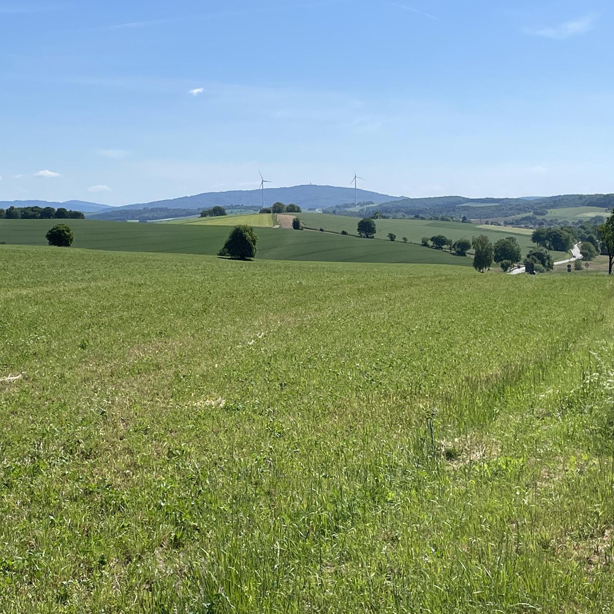
A great area in terms of landscape. Nice bike paths
1
1


𝐍𝐚𝐭𝐮𝐫𝐬𝐜𝐡𝐮𝐭𝐳𝐠𝐞𝐛𝐢𝐞𝐭 𝐋𝐞𝐢𝐭𝐞𝐫𝐬𝐰𝐞𝐢𝐥𝐞𝐫 𝐁𝐮𝐜𝐡𝐞𝐧 / 𝐓𝐢𝐞𝐟𝐞𝐧𝐛𝐚𝐜𝐡𝐭𝐚𝐥 / 𝐎𝐬𝐭𝐞𝐫𝐰𝐢𝐞𝐬𝐞𝐧 The gnarled shapes of the old "Leitersweiler beeches" open up this nature reserve in the north on a side knoll of the Bosenberg. From the source in the forest at over 400 m, this 110 hectare nature reserve then accompanies the Tiefenbach, which runs through the forest in its natural bed, to its confluence with the Oster. This nature reserve belongs to the European nature reserve system NATURA 2000 and offers e.g. habitats for the birds in need of protection: red kite, kingfisher and black woodpecker. In the valley of the Oster, there is still something very special to see: a "human-made biotope design" planned at the beginning of the 80s, which can be considered one of the first realized facilities of this objective. The wet meadows there were in the 30s by straightening the former Meandering Easter emerged and should be drained in the 70s as part of a land consolidation. However, the resistance of the then strengthening nature conservation movement arose successfully. The meadows were not simply left to nature, but by the nature conservation authority to a pond landscape with islands, shallow water After 25 years it can be said that a considerable pioneering work on the subject of "habitat design" has been achieved, which also gained experience for other measures of water renaturation or biotope design. Source: Text information board
7
0
𝐃𝐞𝐫 𝐁𝐞𝐫𝐠𝐦𝐚𝐧𝐧𝐬𝐛𝐫𝐮𝐧𝐧𝐞𝐧 The first evidence of coal mining in this area comes from 1780. The coal was close to the surface and could be extracted in open-cast mining. From 1820, four pits (called Prinzengrube) in the Tiefenbachtal were also mined in tunnels. The concession holders were the brothers Karl and Philipp Cetto from Langenfelderhof, today Wendelinushof. During this period there are talk of 136 employees who extracted almost 14,000 quintals of hard coal. In 1860 the operation was stopped because larger coal seams had meanwhile been discovered on the Saar and Blies. The miners reached the tunnel via the “miners' path”, which is now part of the Tiefenbach path. On their way they passed the source in the Tiefenbachtal and filled up their drinking water here. This spring is still known today as the miner's well. Source: Text information board
9
0
アルベッセンでのの人気観光スポット

komootモバイルアプリでインスピレーションを得よう


さらに探索
これらのガイドで、最高の洞窟を探す範囲を広げましょうアルベッセンでの:
