ヴロームの天然記念物・トップ19
ヴロームが誇る美しい風景を見てみたいなら、ヴロームの素晴らしい天然記念物・トップ19
に行ってみましょう。あなたにぴったりの場所が見つかるよう、素晴らしい天然記念物を探索するために必要なすべての情報を集めました。次のアウトドアの冒険に出かける計画の参考にしましょう。
最終更新日: 9月 28, 2026
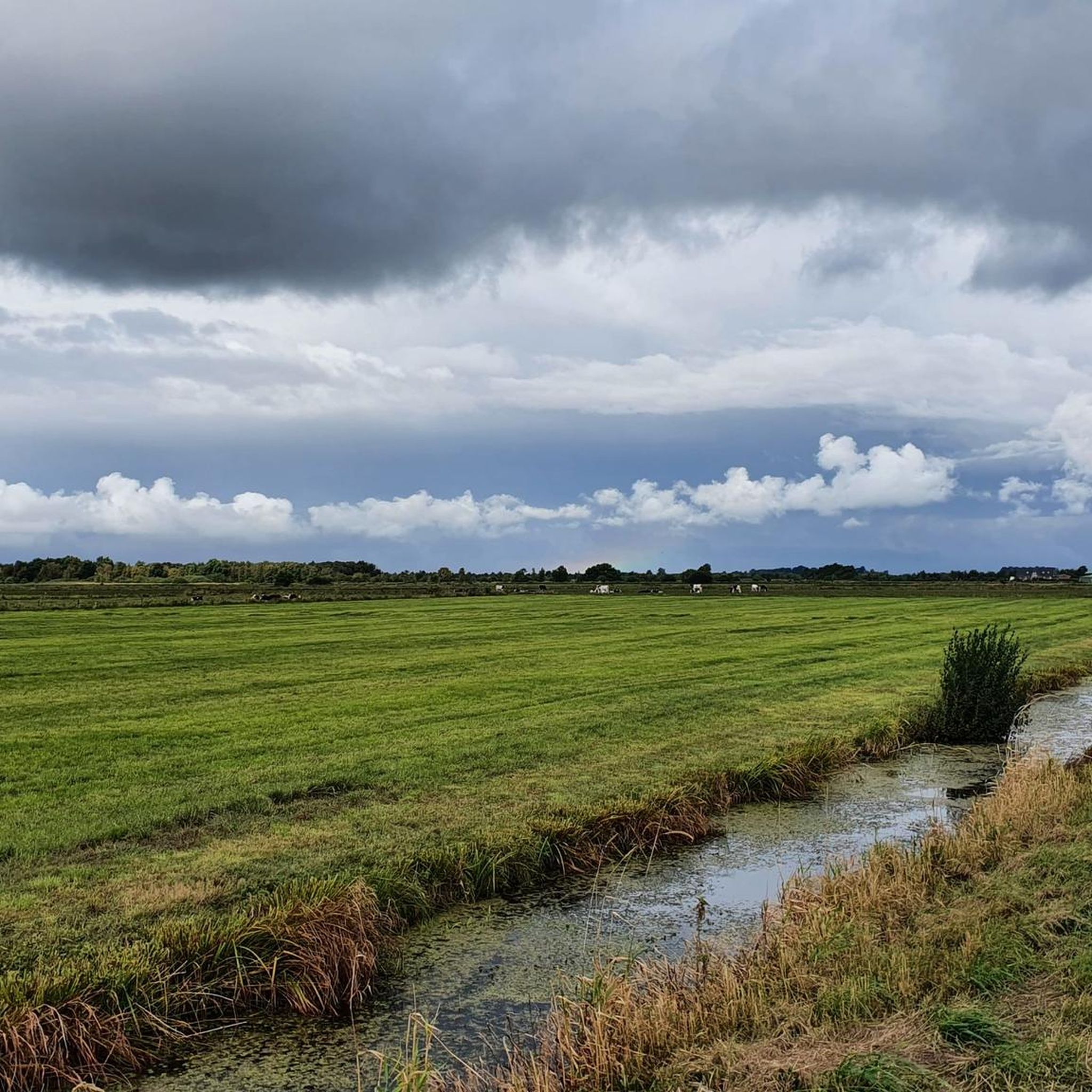
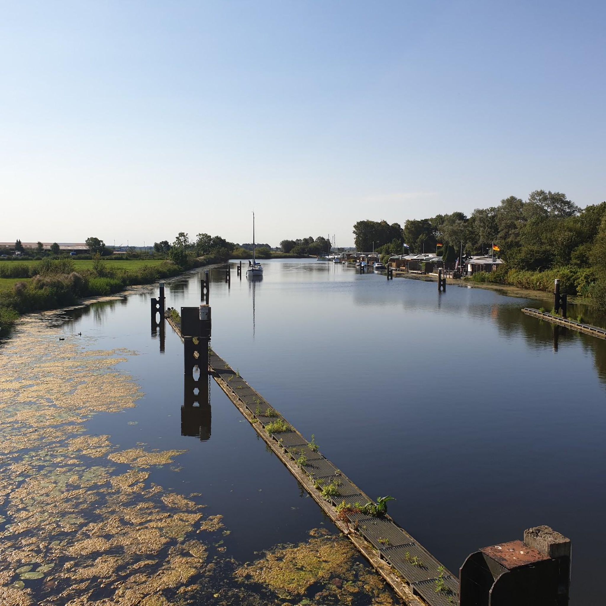
ホーナー湖
ハイライト • 湖
翻訳者 Google •
役立つ情報 は

ギーゼラウタールの古木ブナの露出した根
ハイライト • 自然記念物
翻訳者 Google •
役立つ情報 は

今すぐサインアップして、こんな場所を発見しよう
最高のシングルトラック、ピーク、その他のエキサイティングなアウトドアスポットのおすすめを受け取ろう。
Dellstedter Birkwildmoor 自然保護区
ハイライト • 自然記念物
翻訳者 Google •
役立つ情報 は

Dellstedter Birkwildmoor自然保護区
ハイライト • 自然
翻訳者 Google •
役立つ情報 は
クライスフォルスト・ヴェルムビュッテルのハイドベルク
ハイライト • 自然記念物
翻訳者 Google •
役立つ情報 は
無料でサインアップして、さらに多くの自然記念物を発見しましょう ヴロームでの。
すでにアカウントをお持ちですか?
無料アカウントで今日から始めよう
次の冒険が待っています。
コミュニティからのヒント


Be careful, the paths are soft and wet even during prolonged dry periods!
0
0

Impressively renaturalized and can be hiked on natural paths (possibly very damp to wet!).
0
0


Really a very interesting root system
1
0

The wooded geest area (Dithmarscher Schweiz) is 72 m above sea level on the Rugebarg. NN the highest point in the community. The well-known “Heidberg” is 46 m above sea level. NN is significantly lower, but is considered a popular destination in the district forest among hikers. The Geest around Welmbüttel is a watershed. The Tielenau rises in the southwestern part of the district forest and flows into the Eider via Tellingstedt. The surface water on the western side of the Geest collects in small streams until it flows into the Miele. The Broklandsau in the north has several springs in town. The Osterau rises in the district forest near the old, now dry ponds, the Wierbek has several springs, one rises on the Bahnhofsberg and feeds several ponds, including on the B 203, before it joins other source streams in Norderwohld. https://de.wikipedia.org/wiki/Welmb%C3%BCttel
2
0
The Dellstedter Birkwildmoor nature reserve is located in the Eider-Treene-Sorge river landscape. It covers an area of approximately 620 hectares and has been part of the FFH area “Moors of the Eider-Treene-Sorge-Niederung” since January 2010 and is therefore designated as a Natura 2000 area. In April 2016, a management plan for the conservation and development of the habitat types there was drawn up for the NSG “Dellstedter Birkwildmoor” sub-area by the Schleswig-Holstein Nature Conservation Foundation. It consists of the two separate raised moor remains, the Nordermoor and the Ostermoor, as well as the surrounding wet meadows. In some places the peat is up to six meters thick. The moor takes its name from the black grouse, which used to have very strong populations here, but has unfortunately disappeared from the moor as a breeding bird since the early 1980s. https://de.wikipedia.org/wiki/Dellstedter_Birkwildmoor
2
0

Wildly romantic, the path is a bit muddy in places (of course it's a bog) so it's better to wear sturdy shoes.
0
0
ヴロームでのの人気観光スポット

komootモバイルアプリでインスピレーションを得よう


さらに探索
これらのガイドで、最高の洞窟を探す範囲を広げましょうヴロームでの:
