オーバーベルクキルヒェンの天然記念物・トップ13
オーバーベルクキルヒェンが誇る美しい風景を見てみたいなら、オーバーベルクキルヒェンの素晴らしい天然記念物・トップ13
に行ってみましょう。あなたにぴったりの場所が見つかるよう、素晴らしい天然記念物を探索するために必要なすべての情報を集めました。次のアウトドアの冒険に出かける計画の参考にしましょう。
最終更新日: 8月 31, 2026
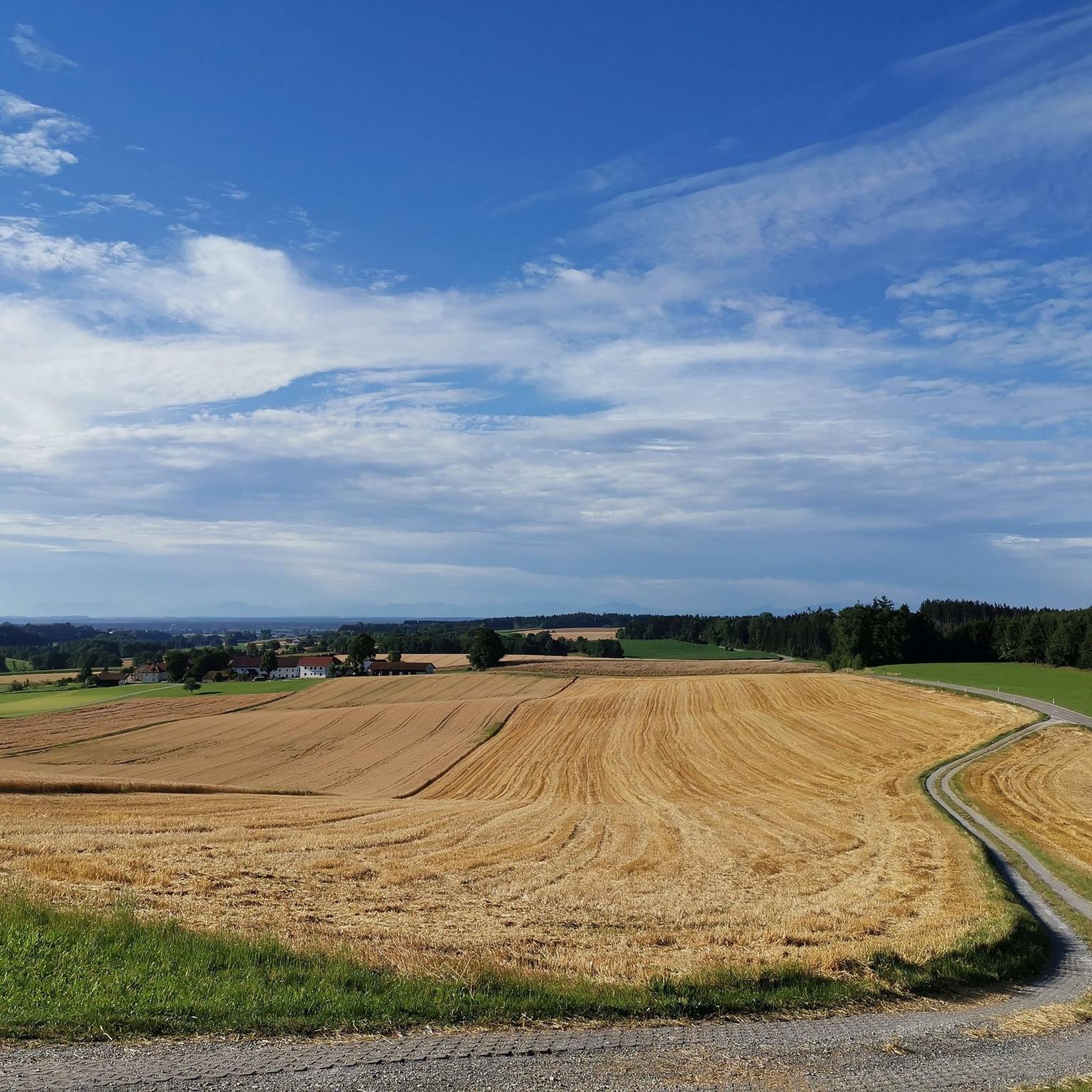
ランツフート地区の最高地点
ハイライト • 山頂
翻訳者 Google •
役立つ情報 は

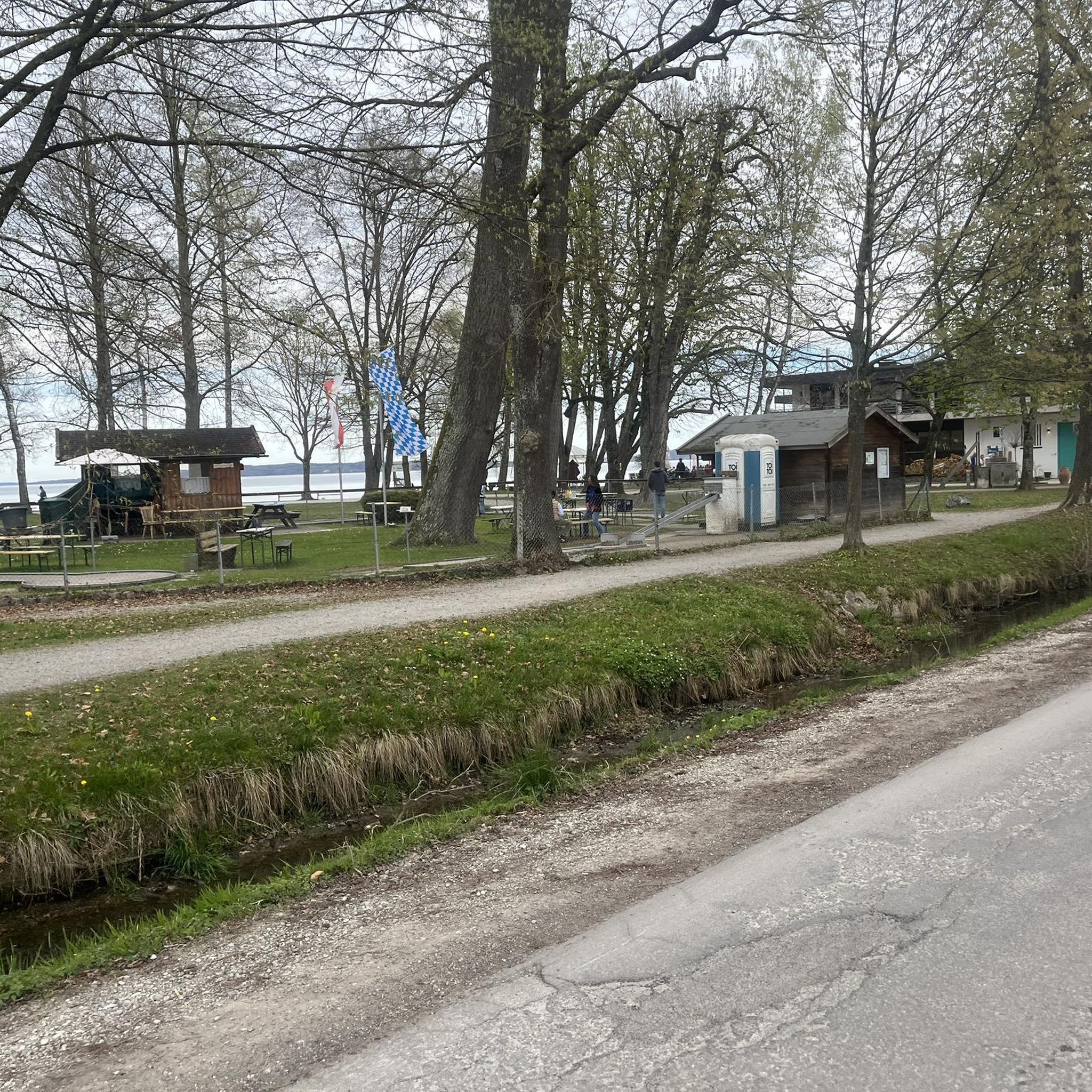
ヒュッテンシュラークヴァイアー
ハイライト • 湖
翻訳者 Google •
役立つ情報 は

今すぐサインアップして、こんな場所を発見しよう
最高のシングルトラック、ピーク、その他のエキサイティングなアウトドアスポットのおすすめを受け取ろう。
無料新規登録
ハイシュティンガー・ヴァントとイン川の眺め
ハイライト • 展望台
翻訳者 Google •
役立つ情報 は

クロプファーブルン礼拝堂と泉
ハイライト • 宗教的な場所
翻訳者 Google •
役立つ情報 は

イーゼンタールのイーゼン川
ハイライト • 川
翻訳者 Google •
役立つ情報 は

無料でサインアップして、さらに多くの自然記念物を発見しましょう オーバーベルクキルヒェンでの。
無料新規登録
すでにアカウントをお持ちですか?
無料アカウントで今日から始めよう
次の冒険が待っています。
ログインまたは登録
コミュニティからのヒント


Sometimes it feels like you're on holiday on the Mediterranean! When you walk along the banks of the Inn, you have soft forest floor or sand under your feet and the pines around you are reminiscent of Italian pine forests. The last undeveloped impact wall (the outside of a river's curve) of the Inn is at your feet here. It's better to keep dogs on a leash and children by the hand, as you are actually walking right along the cliff. The Heistinger Wand, also known as Hörndlberg, is up to 45 meters high and one of the highest bank cliffs in Central Europe. The erosion of the slope is an impressive natural spectacle: As the ice age gravel slope on the ever-growing outer radius of the river continues to sink, boulders and large pines keep falling into the river. https://www.inn-salzach.com/a-heistinger-wand
1
0


Quiet place, in the middle of the forest with seating for a break.
1
0

Don't forget to pack your snack and linger a bit there at the viewing platform.
0
0

Small pond right next to the long and well signposted paths. Can't be overlooked even in summer. There are several seating options here. A very quiet place and good for taking a break.
0
0

Great view and beautiful trail on the steep slope
0
0

Great view over the Inn
0
0
オーバーベルクキルヒェンでのの人気観光スポット

komootモバイルアプリでインスピレーションを得よう


さらに探索
これらのガイドで、最高の洞窟を探す範囲を広げましょうオーバーベルクキルヒェンでの:
