ヴァイルティンゲンの天然記念物・トップ20
ヴァイルティンゲンが誇る美しい風景を見てみたいなら、ヴァイルティンゲンの素晴らしい天然記念物・トップ20
に行ってみましょう。あなたにぴったりの場所が見つかるよう、素晴らしい天然記念物を探索するために必要なすべての情報を集めました。次のアウトドアの冒険に出かける計画の参考にしましょう。
最終更新日: 10月 25, 2026
ヘッセルベルク山頂
ハイライト • 山頂
翻訳者 Google •
役立つ情報 は

Wunibaldの泉
ハイライト • 休憩所
翻訳者 Google •
役立つ情報 は

今すぐサインアップして、こんな場所を発見しよう
最高のシングルトラック、ピーク、その他のエキサイティングなアウトドアスポットのおすすめを受け取ろう。
ヘッセルベルク南側
ハイライト • 展望台
翻訳者 Google •
役立つ情報 は

ヘッセルベルク地質自然歩道
ハイライト (セグメント) • トレイル
翻訳者 Google •
役立つ情報 は

ポシドニア頁岩採石場(地質学的天然記念物)
ハイライト • 自然記念物
翻訳者 Google •
役立つ情報 は

無料でサインアップして、さらに多くの自然記念物を発見しましょう ヴァイルティンゲンでの。
すでにアカウントをお持ちですか?
無料アカウントで今日から始めよう
次の冒険が待っています。


コミュニティからのヒント

In addition to great views, the mountain also offers hands-on geology
0
0

The geological educational and hiking trail leads from the Schieferbruch hiking car park in Wittelshofen over the south-western ridge to the Hesselberg. There are numerous earth outcrops or quarries that show the geological peculiarities of the Hesselberg. Numerous information boards provide technical background information. The summit quarry can be a very special experience. This has been cleared of bushes in recent years as part of the refreshment of the geological educational and hiking trail and can therefore be easily walked. https://www.hesselberg-panorama.de/geologe-lehr-und-wanderpfad.html
2
0
The Posidonia Slate Mine is located on the western edge of the Hesselberg, the highest mountain in Middle Franconia. The Hesselberg formed approximately 200 million years ago as an inselberg in the Jurassic Sea. It consists of three main geological layers: black, brown, and white Jurassic, with intercalated oil shale. This slate mine is a "geological natural monument" and part of the "Hesselberg Geological Trail." The Posidonia Slate, also known as oil shale, formed in the shallow marginal zone of the Jurassic Sea during the Mesozoic Era. The dead organic material trickled down and, together with other substances, formed a sludge. Due to the lack of oxygen, this sludge developed into oil shale over long periods of time. The oil shale is known for its outstanding fossil preservation. Due to the low-oxygen and partially anoxic, so-called euxinic, environment at the time of deposition, very well-preserved crinoids, ammonites, fish, and ichthyosaurs have been found. https://www.geocaching.com/geocache/GC2E8H5_posidonienschiefergrube
1
0

The geological educational and hiking trail has been attracting visitors from near and far to the Hesselberg for over 40 years. But 40 years also represent a period in which a lot can change. Therefore, it was high time to renew the nature trail. “15 new windows into the history of the earth” provide information about the geology around the Hesselberg over a 3 km route. Information boards, earth outcrops and fossils appeal in a variety of ways to nature lovers, hikers as well as students and school classes. With a walking time of approx. 1.5 hours, there is a lot to discover and see on the tour around and on the Hesselberg. Source: https://www.lpv-mittelfranken.de/geologen-lehrpfad-am-hesselberg.html
2
0

It's so beautiful on the Hesselberg that you can't put it into words
2
0

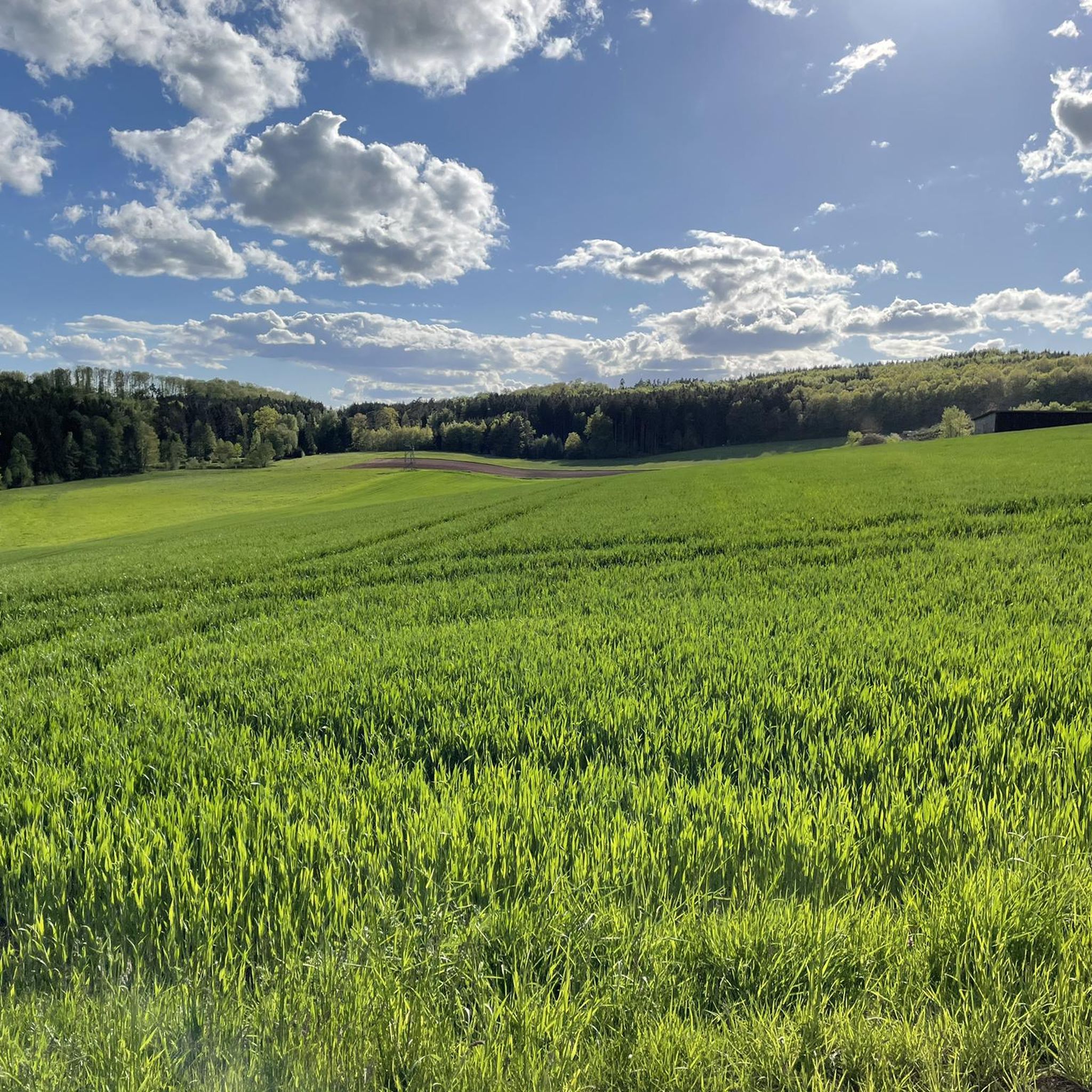
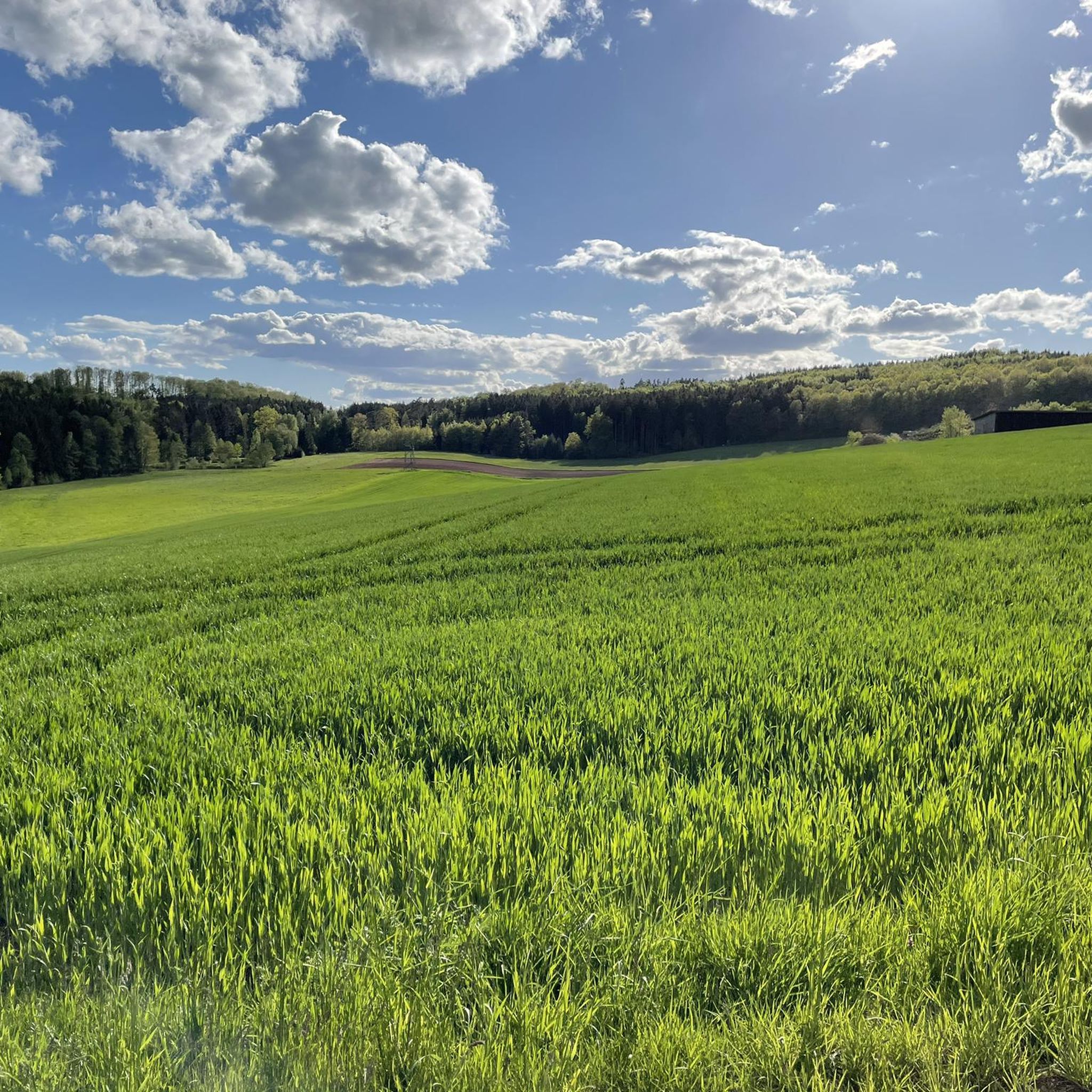
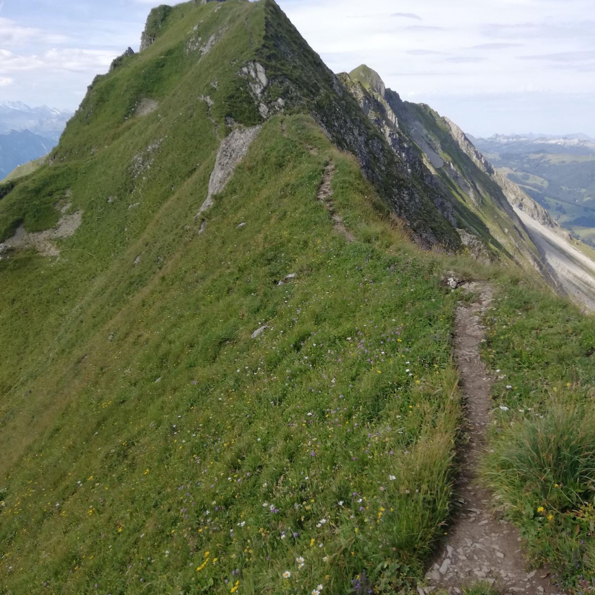
Forest-free ridge with great trails and great views
1
0

Magnificent views - very nice approach, many forest routes
1
0

Beautiful and well-kept facility with Kneipp pools and a shady stand at the source, a good place for a break.
5
0
ヴァイルティンゲンでのの人気観光スポット

komootモバイルアプリでインスピレーションを得よう


さらに探索
これらのガイドで、最高の洞窟を探す範囲を広げましょうヴァイルティンゲンでの:
