ルート

プランナー

機能

アップデート

App

ログインまたはサインアップ

アプリを入手

ログインまたはサインアップ

ログインまたはサインアップ

ルート
Places to see
Mountain passes
ドイツ
バーデン・ヴュルテンベルク
フライブルク地区
オルテナウ

マールベルク

マールベルクの峠・トップ3

風景を楽しんだり、上りや下りを満喫したり、峠には楽しみ方がたくさんあります。マールベルクの素晴らしい峠の一覧を参照して、思い出に残るアドベンチャーに出かけましょう。コミュニティのメンバーがコミュニティのために投稿した峠のハイライトは、他のユーザーが実際におすすめする情報なので、どれも信頼できるものです。気に入った峠にさっそく向かってみましょう。

最終更新日: 5月 11, 2026

Hoher Geisberg

ハイライト • 山道

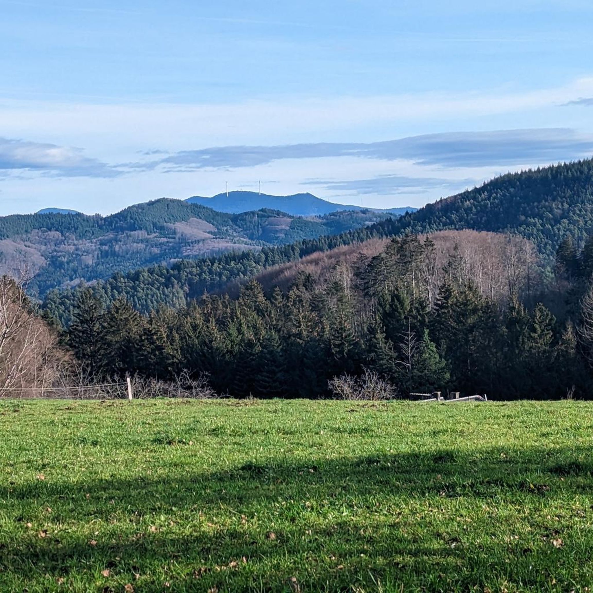
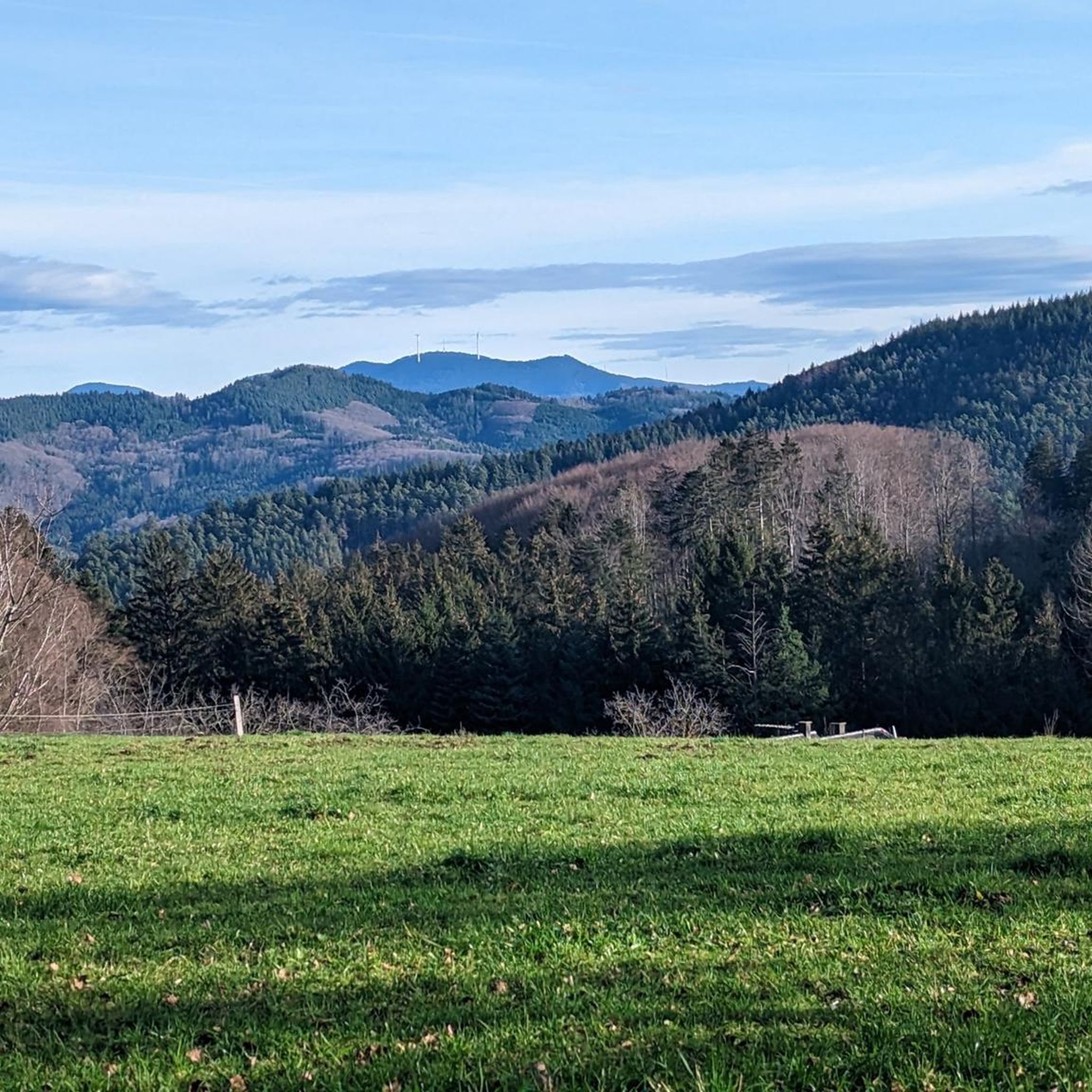
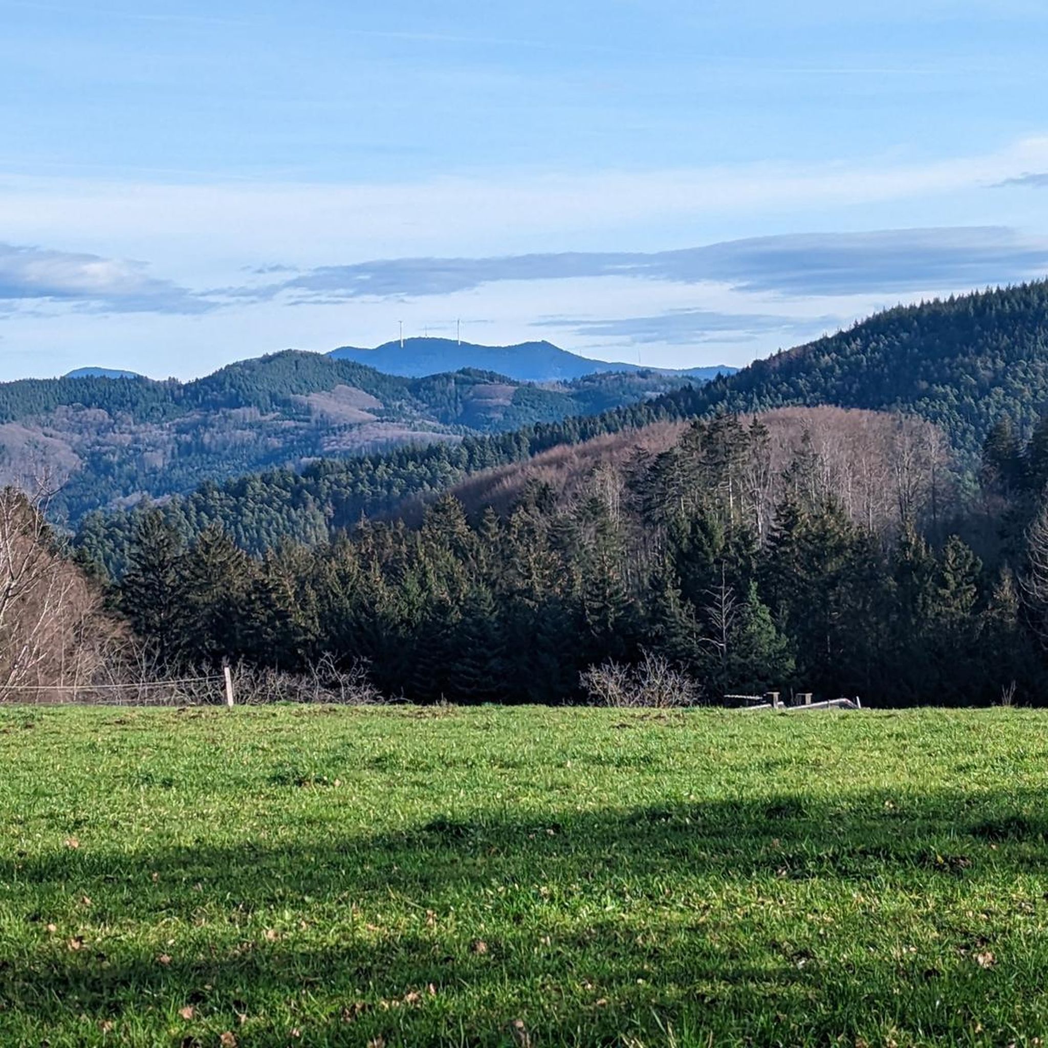
Short mountain road between Hohen Geisberg and Höhenhäuser, about 3km.
After the Höhenhäuser Gasthaus Kreuz pass (666m), a beautiful 7km descent to Elzach in the beautiful Elztal, which lies between …

翻訳者 Google •

役立つ情報

によるものです

ここでのライドを見る

スマートフォンに送信

保存

From Schweighausen the route becomes significantly steeper. After leaving the village there is a short flat passage, followed by the most difficult part of the ascent (9% to 12%) within sight of the winter bikes.

翻訳者 Google •

役立つ情報

によるものです

保存

今すぐサインアップして、こんな場所を発見しよう

最高のシングルトラック、ピーク、その他のエキサイティングなアウトドアスポットのおすすめを受け取ろう。

無料新規登録

ヒンターラー・ガイスベルク

ハイライト • 展望台

Nice route, fun up and down. Crisp and steep sections (12-14%) and nicely asphalted in the lower area (10/2019).

翻訳者 Google •

役立つ情報

によるものです

保存

シュトライトベルク峠展望台

ハイライト (セグメント) • 展望台

From Ettenheimmünster up to the Streitberg you drive easily uphill on a wide, excellently paved route with a very moderate incline. From the high point of Streitberg, it goes down …

翻訳者 Google •

役立つ情報

によるものです

保存

シュトライトベルクの交差点

ハイライト • トレイル

remarkable crossing / pass / saddle where the directional points must be placed ...

翻訳者 Google •

役立つ情報

によるものです

保存

無料でサインアップして、さらに多くの山道を発見しましょう マールベルクでの。

無料新規登録

すでにアカウントをお持ちですか?

無料アカウントで今日から始めよう

次の冒険が待っています。

ログインまたは登録

マールベルク周辺で人気

Aktiv in die längeren Tage – Frühlingsradeln rund um den Kaiserstuhl

マールベルクでのサイクリング

マールベルクのロードバイクルート

マールベルクのMTBトレイル

マールベルクでののグラベルライド

マールベルクでのハイキング

マールベルクのランニングコース

マールベルクでのの他の冒険

Aktiv in die längeren Tage – Frühlingsradeln rund um den Kaiserstuhl

サイクリングのコレクション によって

AOK Baden-Württemberg

コミュニティからのヒント

fscherzinger
4月 12, 2025, Hoher Geisberg

short and sweet

Google翻訳による翻訳

0

1

Branch to various beautiful bike tours in all directions.

Google翻訳による翻訳

0

0

Coming from the Hallen Pass (600m) (between Schuttertal and Welschensteinach), there is still just under 1km of ascent (10%) to the highest point (690m), below the Hohen Geisberg, in a right-hand bend (pass height). Then a slightly downhill stretch towards the Höhenhäuser pass (666m). Just before the Höhenhäuser pass, there is a small wave from the clothing manufacturer FISCHER!

Google翻訳による翻訳

0

0

Short mountain road between Hohen Geisberg and Höhenhäuser, about 3km. After the Höhenhäuser Gasthaus Kreuz pass (666m), a beautiful 7km descent to Elzach in the beautiful Elztal, which lies between Waldkirch and Landwassereck. From Elzach there is the option to extend the tour. Either via the town of Oberprechtal towards Landwassereck to Gutach (Gutachtal) or from the town of Oberprechtal turn right on a partially narrow connecting road (10km) to the Wilhelmshöhe guesthouse (970m) up (up to 12%) on the Westweg (gateway to the Blindensee (990m), via the Rohrhardsberg car park. Then a long descent via the winter sports resort of Schonach to Triberg or in Schonach turn right up the Langenwaldschanze to Schönwald and further to the Escheck pass (guesthouse) and further down to Furtwangen. In Furtwangen you can extend the tour to the Neueck pass (B500) and down back via Gütenbach, Obersimonswald to Bleibach, back to the Elztal!!

Google翻訳による翻訳

1

0

The other way around is also very nice to drive. At the top, at the height around Ottoschwanden, you can drive really quickly on the very well-developed road due to the small differences in altitude and you have a great panorama the whole time (provided the weather is good). And I love the descent to Ettenheimmünster.

Google翻訳による翻訳

0

0

From Ettenheimmünster up to the Streitberg you drive easily uphill on a wide, excellently paved route with a very moderate incline. From the high point of Streitberg, it goes down a few meters to the crossroads, where you can either turn into the Bleichetal or Schuttertal. If you continue to follow the route in the direction of Freiamt, it's a few meters uphill again and then winding and slightly downhill to Ottoschwanden, where you turn off in the direction of Reichenbach and can complete the section at high speed with a little more gradient. The route is fun to drive very smoothly, with beautiful views and very moderate climbs in between. However, thanks to good roads and many beautiful curves, it is also very popular with motorized two-wheelers, which can sometimes spoil the enjoyment a bit.

Google翻訳による翻訳

0

0

The route swings over three ramps that are not too long, but sometimes up to 12% steep up to the top of the Geisberg pass. The route is well developed and in good condition (02/2022). Also quite popular with the motorized two-wheeler fraction.

Google翻訳による翻訳

0

0

Above Schweighausen at the apex in the direction of Welschensteinach is the rear Geisberg on which there is also a small chapel. From the Geisberg you can approach many points from which you have a great view of the Schuttertal or the Kinzig valley

Google翻訳による翻訳

1

0

マールベルクでのの人気ルート

マールベルクでのサイクリング

マールベルクでのの人気観光スポット

Places to see

Store rating

komootモバイルアプリでインスピレーションを得よう

無料のkomootアカウントがあれば、無限のアウトドアコースを簡単に見つけてカスタマイズし、ナビで案内できます。

または

今すぐkomootに参加しよう

Store rating

さらに探索

これらのガイドでさらに壮大な山道を見てみましょうマールベルクでの:

ノルドラッハオッペナウバートペーターシュタル-グリスバッハオーバーヴォルファッハオーバーハルマースバッハオーバーキルヒェローテンバッハキンツィヒゲンゲンバッハフィッシャーバッハハウザッハシュタータールハスラッハ・イム・キンツィヒシュタイナハOttenhöfenimSchwarzwaldミューレンバッハZell am Harmersbachグータッハ(シュヴァルツヴァルトバーン)ドゥルバッハホルンベルクカッペルローデックエッテンハイムヴォルフアッハゼーバッハリングスハイムカッペル・グラーフェンハウゼンザスバッハヴァルデンアーハーンラウフザスバッハレンヘンオールスバッハキッペンハイムアッペンヴァイラーオッフェンブルク

近くのアドベンチャーガイド

キッペンハイムでやるべきこと

background

新しいピークを征服する準備をしよう

無料でサインアップ

探検する
ルートルートプランナー機能ハイキングMTBトレイルロードバイクルートバイクパッキングサイトマップ
アプリをダウンロード
SNSでフォローする

© komoot GmbH

プライバシーポリシー