マルニッツの天然記念物・トップ4
マルニッツが誇る美しい風景を見てみたいなら、マルニッツの素晴らしい天然記念物・トップ4
に行ってみましょう。あなたにぴったりの場所が見つかるよう、素晴らしい天然記念物を探索するために必要なすべての情報を集めました。次のアウトドアの冒険に出かける計画の参考にしましょう。
最終更新日: 8月 31, 2026
ブライター・シュタイン
ハイライト • 自然記念物
翻訳者 Google •
役立つ情報 は

保護林 "ナトゥールヴァルト・クロイツバッハ"
ハイライト • 森
翻訳者 Google •
役立つ情報 は

今すぐサインアップして、こんな場所を発見しよう
最高のシングルトラック、ピーク、その他のエキサイティングなアウトドアスポットのおすすめを受け取ろう。
無料新規登録
中央ヨーロッパ最大のダグラスファー林
ハイライト • 森
翻訳者 Google •
役立つ情報 は

Moosterquelle
ハイライト • 自然記念物
翻訳者 Google •
役立つ情報 は

ヴェルダムニスヴァルトのケーゲルグレーバー
ハイライト • 歴史的な場所
翻訳者 Google •
役立つ情報 は
無料アカウントで今日から始めよう
次の冒険が待っています。
ログインまたは登録
コミュニティからのヒント

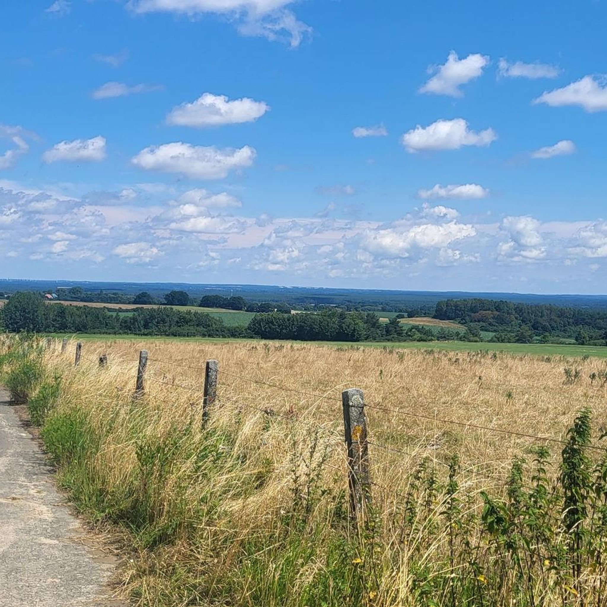
パルヒム近郊のブライテ・シュタインは、この地域で最大の氷河期の漂石です。郡庁所在地の南西、ゾンネンベルク自然保護区にあります。この巨大な石は、最後の氷河期に氷河によって運ばれ、ゾンネンベルクに置かれました。 歴史的には、この特徴的な漂石がかつてスラヴ先住民の犠牲の場所として使用されていたと推測されています。 地元の伝承によると、ある結婚式の行列が悪魔によって石に変えられたと言われています。現地には、メクレンブルク=フォアポンメルン州の伝説・おとぎ話街道協会による「話すベンチ」があり、訪問者にこの場所に関する物語を伝えています。
0
0

The 23-hectare protected forest serves to preserve and develop a groundwater-influenced pedunculate oak-hornbeam forest with holly, as well as stands of alder and ash, while simultaneously safeguarding the water balance and habitats of endangered plant species. As a particularly valuable remnant of such a mixed deciduous forest in the sparsely wooded Prignitz region, it is being scientifically monitored long-term and without direct human intervention to study forest development, soil, flora, fauna, and natural self-organization processes. At the same time, the area functions as a forestry demonstration plot, conserves forest genetic resources, and contributes to the long-term preservation of biodiversity in self-regulating communities.
2
0

The legend about the "Broad Stone": A wedding party came back from the wedding ceremony in Slate to Kiekindemark (Look in the Mark). Everyone had celebrated hard and lost their way at midnight in the Sonnenberg. Suddenly an old woman stood in front of them and asked for a gift. She was then laughed at by the tipsy wedding guests. This old woman was a witch who was so angry at being laughed at that she turned the carriage containing people and cattle to stone. The starting point of the search is the small village of Kiekindemark with a forest farm, game gate and show garden. https://www.geocaching.com/geocache/GC46PVA_wider-stein?guid=202f03cb-d31b-4afd-8aa3-6a69a99719b6
1
0

This is where the Moosterbach rises, which then flows through the Moostertal and flows into the Elde between Siggelkow and Groß Pankow. All around there are many types of rock to discover, which the Ice Age left behind here. They are labeled and the surface is sanded in one place.
0
0
Many cone tombs (mounds) are found in the forest. On the picture is an old map where the points are marked. The drawn river is the Graben.
1
0

South of Parchim is Central Europe's largest stand of Douglas fir. This North American conifer was first planted here 100 years ago. Thanks to the favorable growth conditions, the Douglas fir trees, with a height of 58 meters, even tower above the St. Georgen and St. Marien churches in Parchim.
0
0
マルニッツでのの人気観光スポット

komootモバイルアプリでインスピレーションを得よう


さらに探索
これらのガイドで、最高の洞窟を探す範囲を広げましょうマルニッツでの:
