マルクノイキルヒェンの峠・トップ4
風景を楽しんだり、上りや下りを満喫したり、峠には楽しみ方がたくさんあります。マルクノイキルヒェンの素晴らしい峠の一覧を参照して、思い出に残るアドベンチャーに出かけましょう。コミュニティのメンバーがコミュニティのために投稿した峠のハイライトは、他のユーザーが実際におすすめする情報なので、どれも信頼できるものです。気に入った峠にさっそく向かってみましょう。
最終更新日: 8月 31, 2026
ミュールライテン峠
ハイライト • 山道
翻訳者 Google •
役立つ情報 は

ロイペンブリュッケ・ミューレイテン
ハイライト • 橋
翻訳者 Google •
役立つ情報 は

今すぐサインアップして、こんな場所を発見しよう
最高のシングルトラック、ピーク、その他のエキサイティングなアウトドアスポットのおすすめを受け取ろう。
無料新規登録
ミュールライテン峠(860m)
ハイライト • 山道
翻訳者 Google •
役立つ情報 は

Gopplasgrüner Höhe パス
ハイライト • 山道
翻訳者 Google •
役立つ情報 は

ウルスプルング峠
ハイライト • 山道
翻訳者 Google •
役立つ情報 は

無料アカウントで今日から始めよう
次の冒険が待っています。
ログインまたは登録
マルクノイキルヒェン周辺で人気
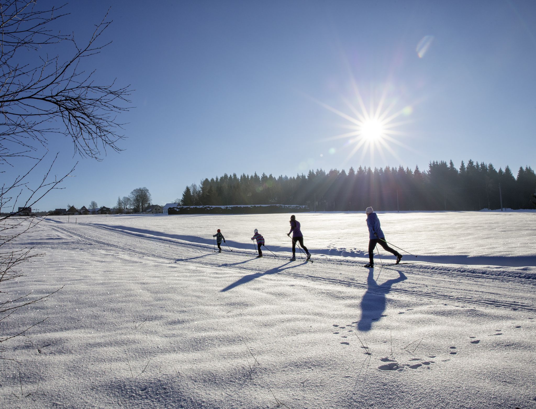
A snowy paradise – winter hiking and cross-country skiing in Germany’s Vogtland
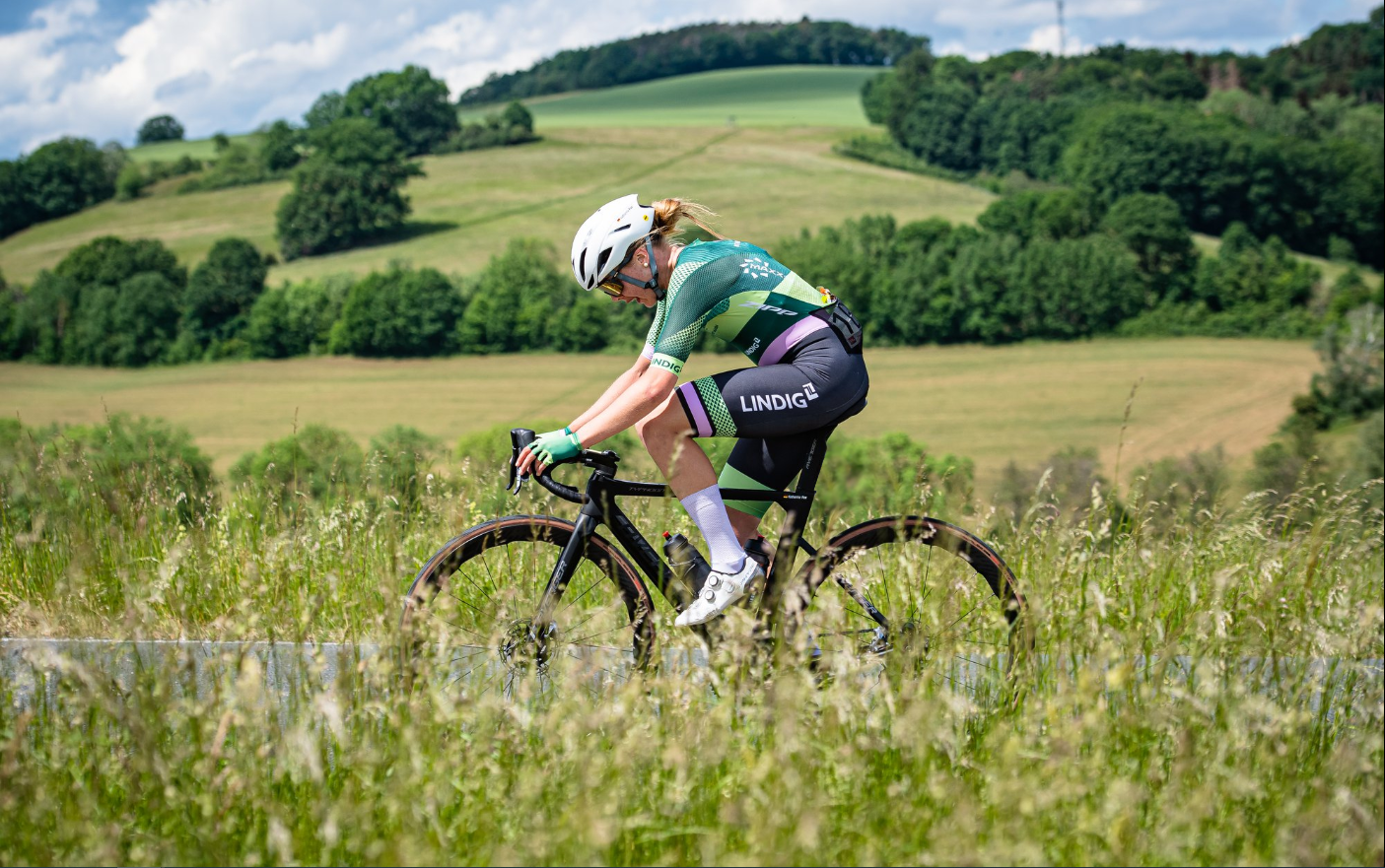
Gravel and road cycling in the Vogtland region
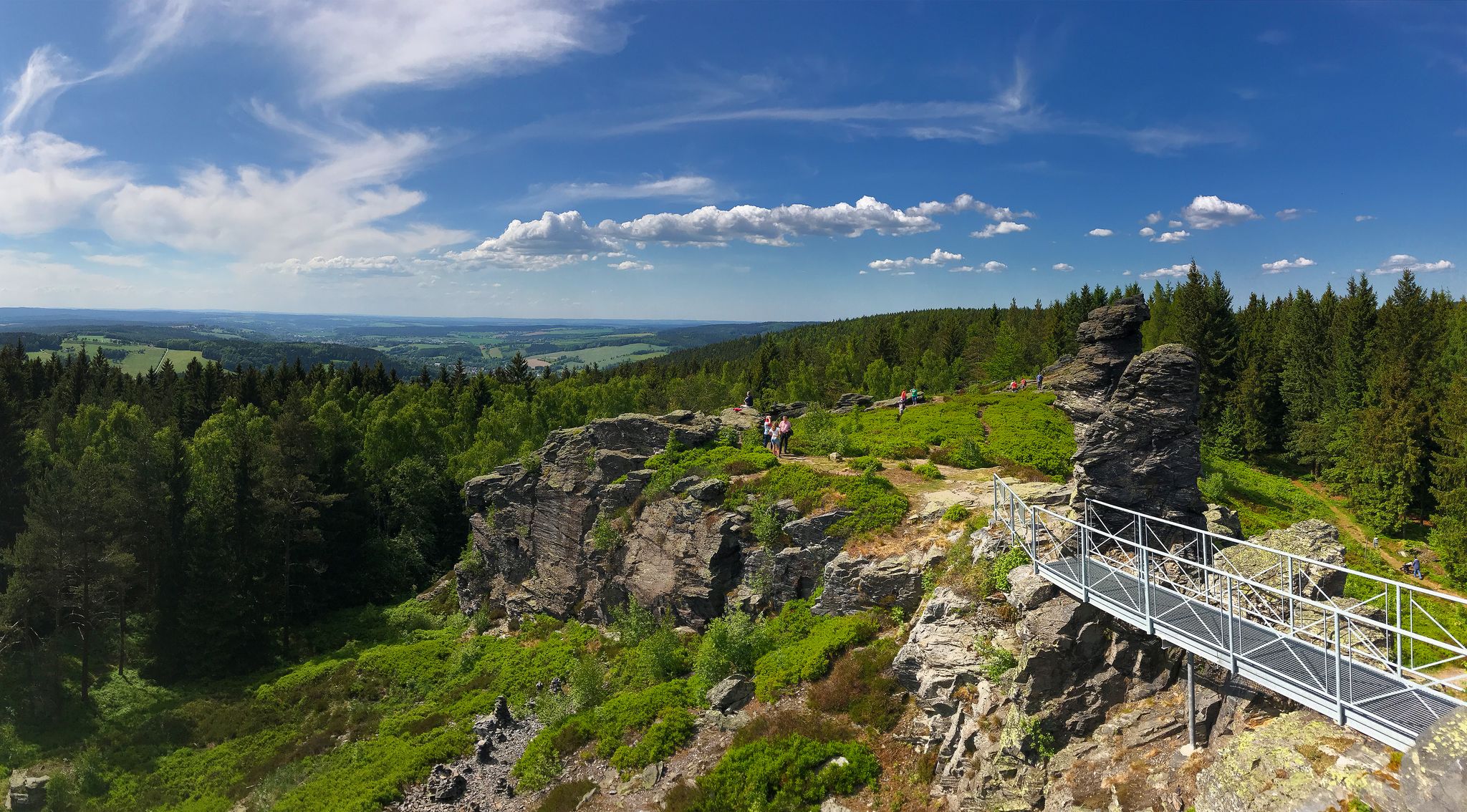
Experience the sounds of nature — hikes in the Vogtland Region
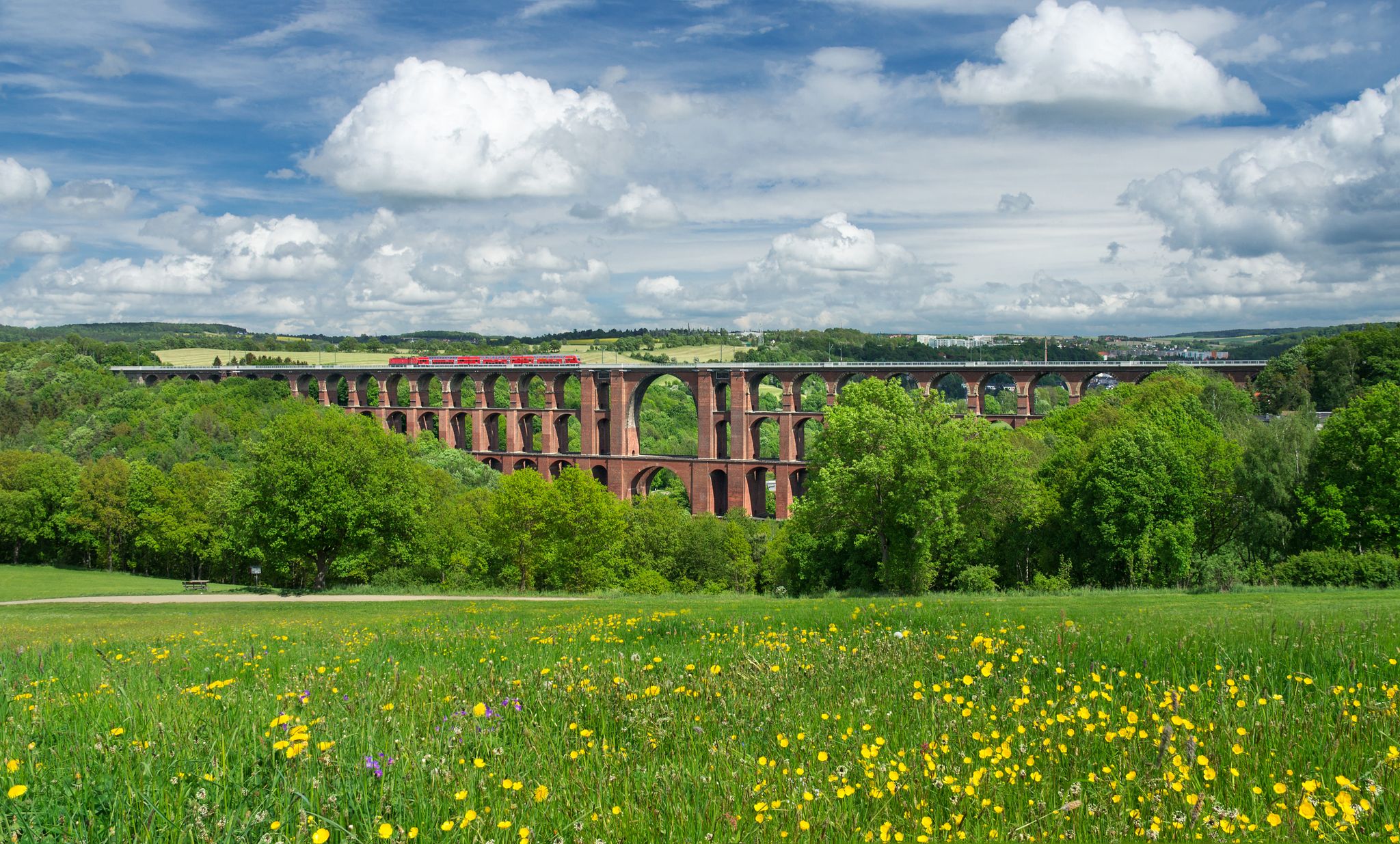
エクスペリエンス ネイチャーズ シンフォニー – フォークトラント パノラマ トレイル
マルクノイキルヒェンでのハイキング

マルクノイキルヒェンでののグラベルライド
マルクノイキルヒェンでのサイクリング
マルクノイキルヒェンのMTBトレイル
マルクノイキルヒェンのロードバイクルート
マルクノイキルヒェンのランニングコース
マルクノイキルヒェンでのの他の冒険

コミュニティからのヒント

ハイキングに最適なジャンクションです。冬にはクロスカントリースキーコースへの接続もあります(注意:難易度が非常に高いです!)ただし、標識はあまり良くありません。そのため、地図をもう一度確認することをお勧めします😁
0
0

If you don't want to cross the road directly, the bridge is a better alternative.
0
0


Very worth seeing, you have to see it
0
0

highest road pass in the Vogtland
0
0
Pass summit between Markneukirchen and Klingenthal
0
0

At the foot of the bridge in the direction of the village is a Royal Saxon half-milestone on the B283. "In the Kingdom of Saxony, the preparations for the introduction of the metric system were carried out in connection with the work of the Normal Aichungscommission and the related leading work by Albert Christian Weinlig and Julius Ambrosius Hülsse. ... After a new measurement in 1858, between 1859 and 1865 a new system of Milestones – the Royal Saxon milestones in the form of station, whole mile, half mile, junction and border crossing stones – were created (from 1840: 1 mile = 7.5 km) These became partial after the introduction of the metric system around 1900 redesigned into kilometer, highway, corridor boundary or road keeper stones." - https://de.wikipedia.org/wiki/course%C3%A4chsische_Postmeilens%C3%A4ule#Nachfolger
3
0
マルクノイキルヒェンでのの人気観光スポット

komootモバイルアプリでインスピレーションを得よう


