ユーバッハ・パレンベルクの天然記念物・トップ20
ユーバッハ・パレンベルクが誇る美しい風景を見てみたいなら、ユーバッハ・パレンベルクの素晴らしい天然記念物・トップ20
に行ってみましょう。あなたにぴったりの場所が見つかるよう、素晴らしい天然記念物を探索するために必要なすべての情報を集めました。次のアウトドアの冒険に出かける計画の参考にしましょう。
最終更新日: 10月 24, 2026
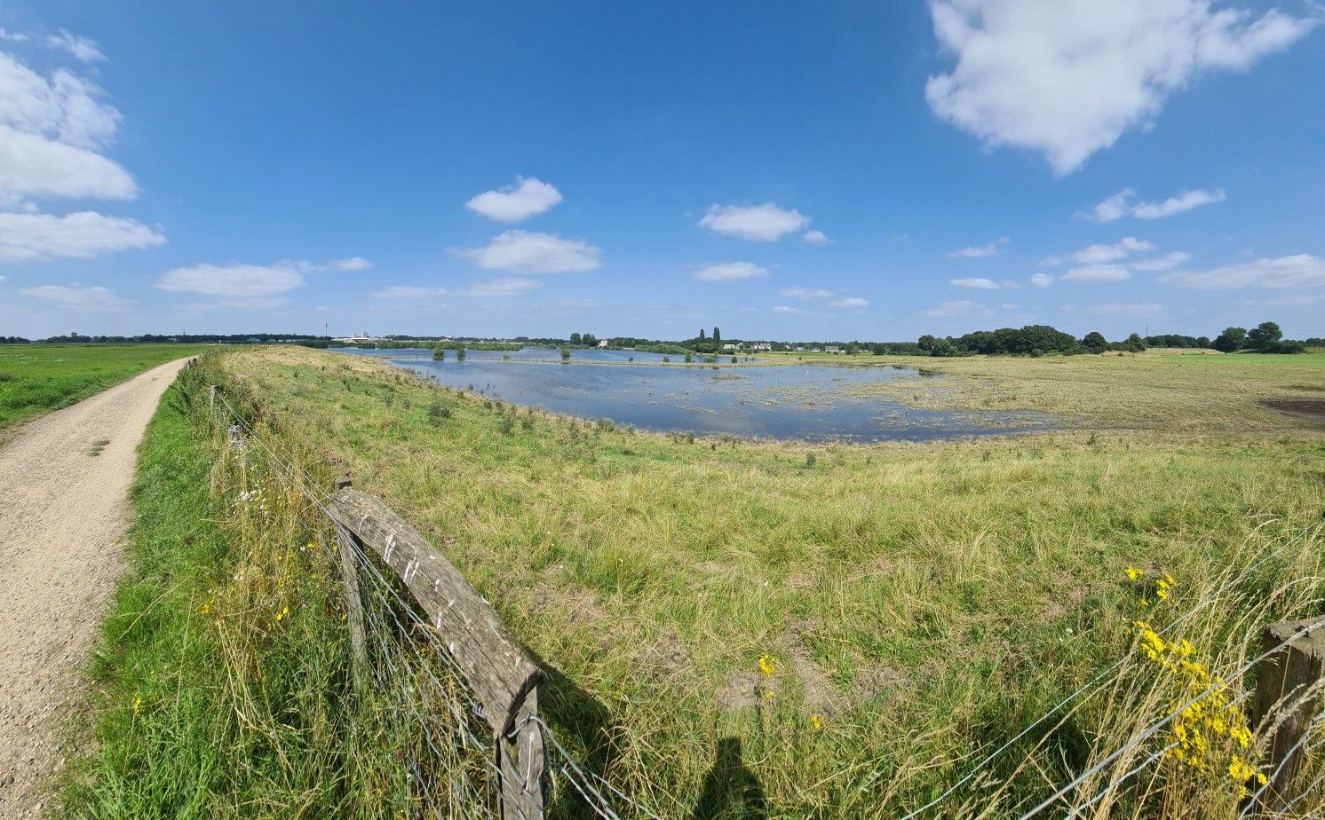
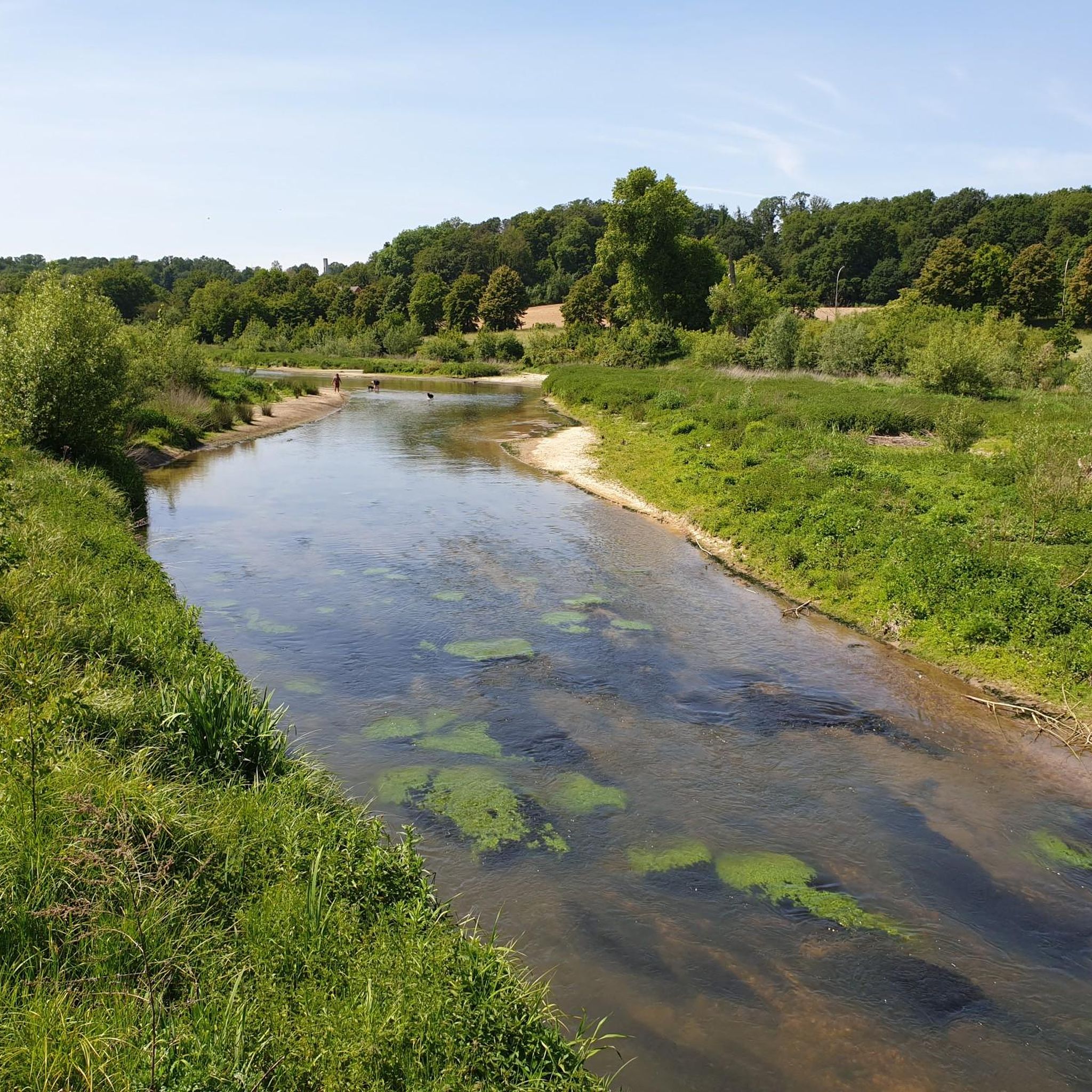
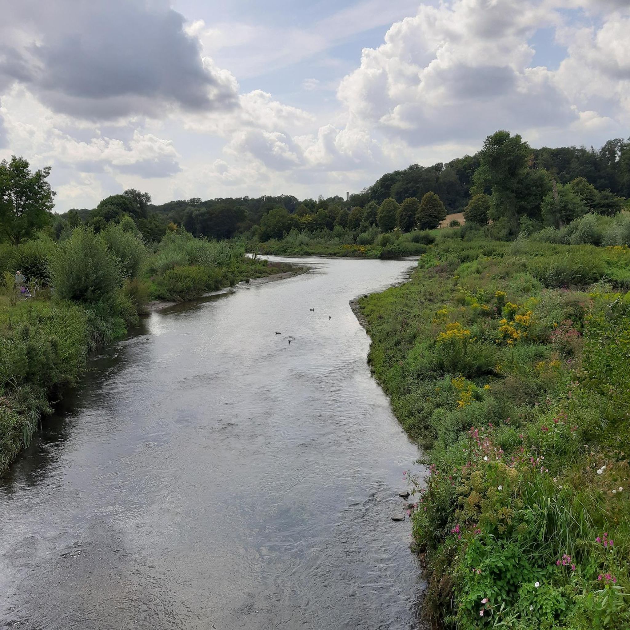
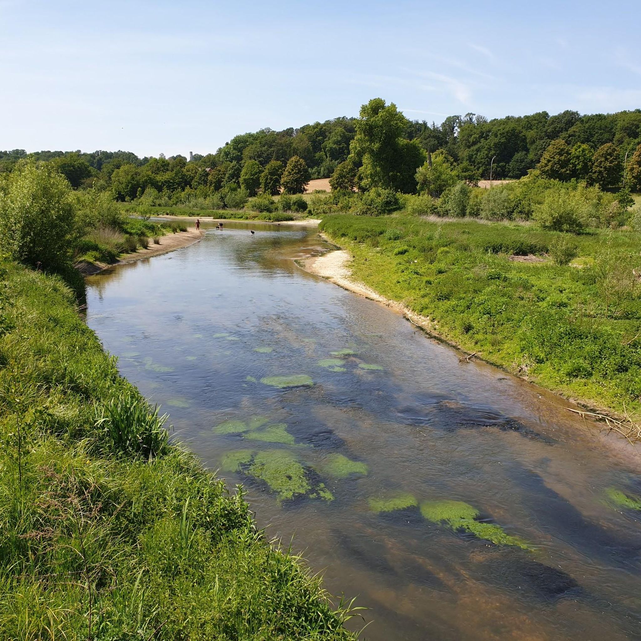
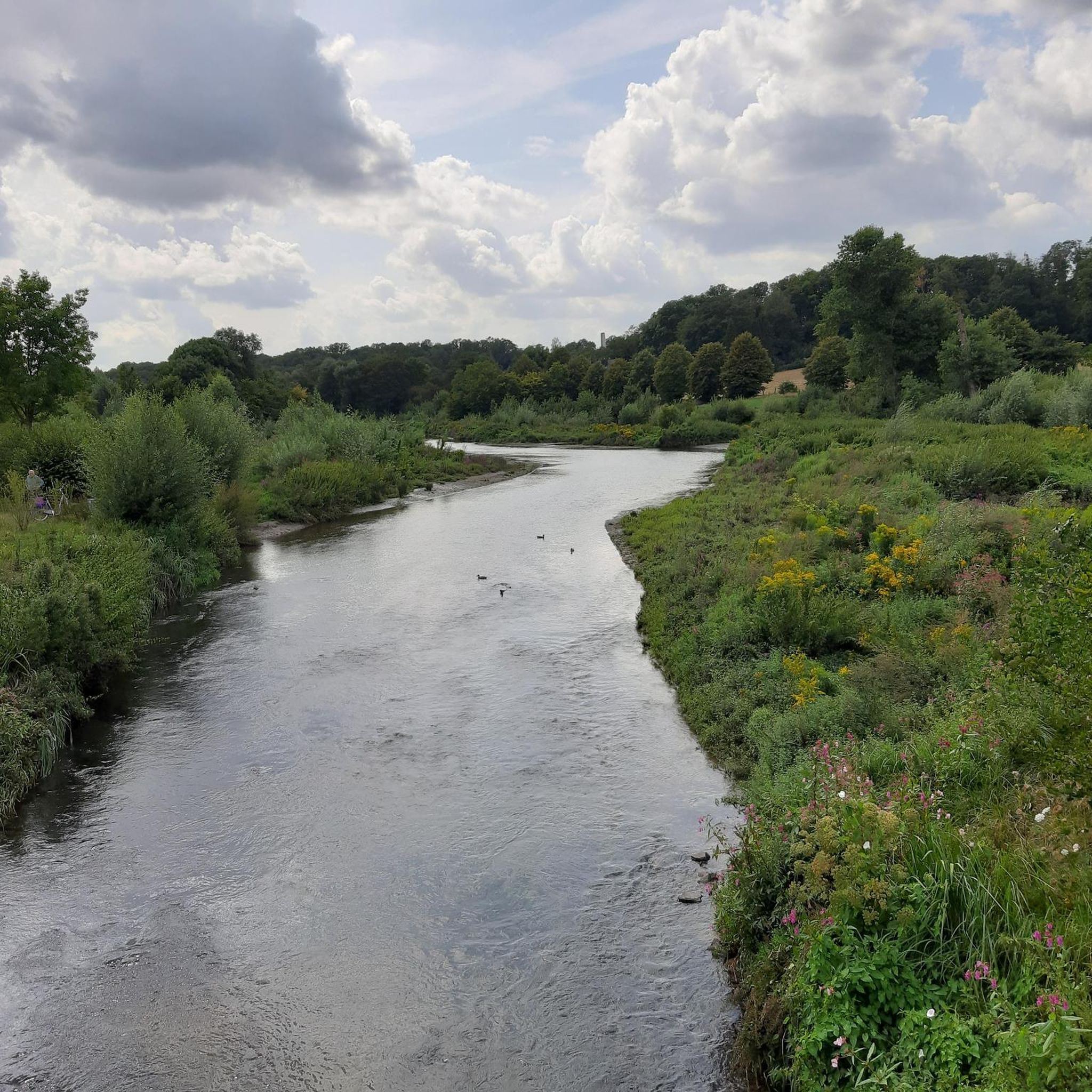
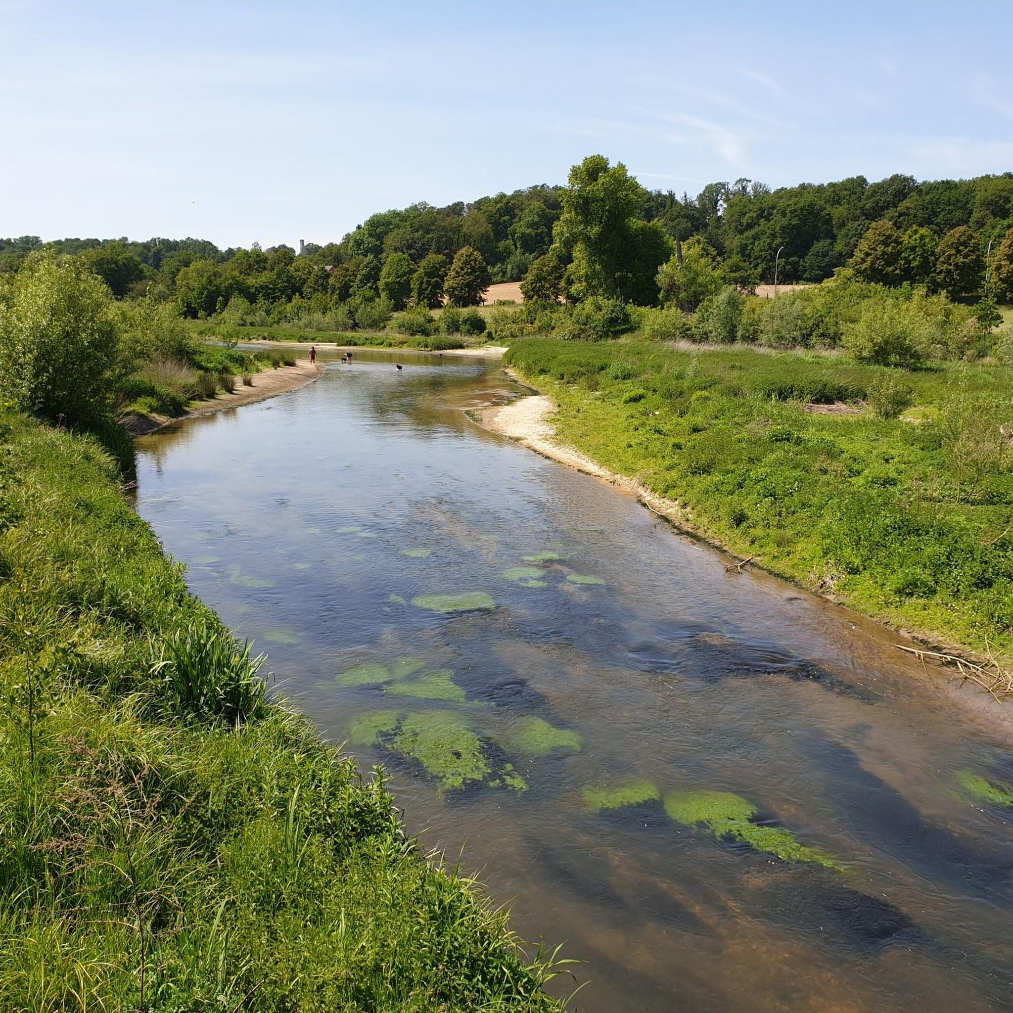
ヴルム川の再自然化区間
ハイライト • 川
翻訳者 Google •
役立つ情報 は

ルアドルフの堰
ハイライト • 構造物
翻訳者 Google •
役立つ情報 は

今すぐサインアップして、こんな場所を発見しよう
最高のシングルトラック、ピーク、その他のエキサイティングなアウトドアスポットのおすすめを受け取ろう。
Brunssummerheide自然保護区
ハイライト • 自然記念物
翻訳者 Google •
役立つ情報 は

Brunssummerheideを一望できるベンチ
ハイライト • 展望台
翻訳者 Google •
役立つ情報 は

テヴェレナー・ハイデ自然保護区
ハイライト • 自然記念物
翻訳者 Google •
役立つ情報 は
無料でサインアップして、さらに多くの自然記念物を発見しましょう ユーバッハ・パレンベルクでの。
すでにアカウントをお持ちですか?
無料アカウントで今日から始めよう
次の冒険が待っています。
ユーバッハ・パレンベルクでのの他の冒険

コミュニティからのヒント

The cycle path between Randerath and Rimburg is paved throughout. This section is often heavily soiled.
3
0


From many hilltops in Brunssummerheide there are great views and sometimes surprising views.
6
0

The open heath landscape lies on both sides of the wide, paved sand paths.
53
0
Fantastic viewpoints non-stop. A super beautiful heath landscape.
44
0
Fantastic view, yes without a doubt. The entire Brunssummer Heide, a hilly landscape with countless great views. Every lover of flora and fauna will get their money's worth here.
42
0
The Teveren Heath covers an area of approximately 4.5 km² west of the town of Teveren in the southern district of Heinsberg along the German-Dutch border and, together with the nearby nature reserves of Rodebach and Brunssummerheide, forms the Heath Nature Park. On the German side, the towns of Geilenkirchen and Übach-Palenberg as well as the municipality of Gangelt border the area, which has been part of the Green Metropolis project since 2008. On the Dutch side lies the town of Brunssum. To the north of the heath is the NATO Air Base Geilenkirchen, the home airfield of the NATO E-3A unit with its AWACS early warning system.
11
0

The bike path along the Wurm is also quite okay.
6
1
ユーバッハ・パレンベルクでのの人気ルート
ユーバッハ・パレンベルクでのの人気観光スポット

komootモバイルアプリでインスピレーションを得よう


さらに探索
これらのガイドで、最高の洞窟を探す範囲を広げましょうユーバッハ・パレンベルクでの:
