ザンクトマルティンベイローファーの天然記念物・トップ20
ザンクト・マルティン・バイ・ローファー周辺の最高の自然記念物は、絵のように美しいザルツブルガー・ザールアハタールにあり、オーストリアアルプスの自然の美しさを紹介しています。この地域は、ユニークな地質学的形成、多様な景観、そして魅力的な体験を特徴としています。山々、森、水辺がこの地域を特徴づけ、さまざまなアウトドアアクティビティを提供しています。
ザンクト・マルティン・バイ・ローファー周辺の最高の自然記念物
- 最も人気のある自然記念物は、サスペンションブリッジ自体と周囲の「ラムザウ・ドロミーティ」の素晴らしい景色を提供する橋であるクラウスバッハタール吊り橋です。訪問者は近くのベンチから景色を楽しむことができます。
- もう一つの必見スポットは、湖であるヒンターゼー東岸です。この美しく位置する山岳湖は、小道に沿って探索でき、写真撮影やリラクゼーションに理想的な環境を提供します。
- 訪問者はまた、ラムザウアー・アッヘ沿いの魔法の森、つまり森も気に入っています。このエリアは、地滑りによる岩石の崩壊物で特徴づけられる、魔法の森を通り抜けるループとヒンターゼー沿いのルートを備えています。
- ザンクト・マルティン・バイ・ローファーは、湖、森、渓谷で知られています。この地域は、静かな湖畔から印象的な地質学的形成まで、さまざまな自然記念物を観察および探索できます。
- ザンクト・マルティン・バイ・ローファー周辺の自然記念物は、komootコミュニティによって高く評価されており、4000以上の「いいね!」と2200以上の写真が共有されています。
最終更新日: 10月 24, 2026
ヒンターゼー東岸
ハイライト • 湖
翻訳者 Google •
役立つ情報 は

ラムザウアー・アッへ沿いの「魔法の森」
ハイライト (セグメント) • 森
翻訳者 Google •
役立つ情報 は

今すぐサインアップして、こんな場所を発見しよう
最高のシングルトラック、ピーク、その他のエキサイティングなアウトドアスポットのおすすめを受け取ろう。
Hintersee Nordufer
ハイライト • 湖
翻訳者 Google •
役立つ情報 は

クラウスバッハタール吊り橋
ハイライト (セグメント) • 橋
翻訳者 Google •
役立つ情報 は

ザウバーヴァルトの小川
ハイライト • 川
翻訳者 Google •
役立つ情報 は

無料でサインアップして、さらに多くの自然記念物を発見しましょう ザンクトマルティンベイローファーでの。
すでにアカウントをお持ちですか?
無料アカウントで今日から始めよう
次の冒険が待っています。
ザンクトマルティンベイローファー周辺で人気
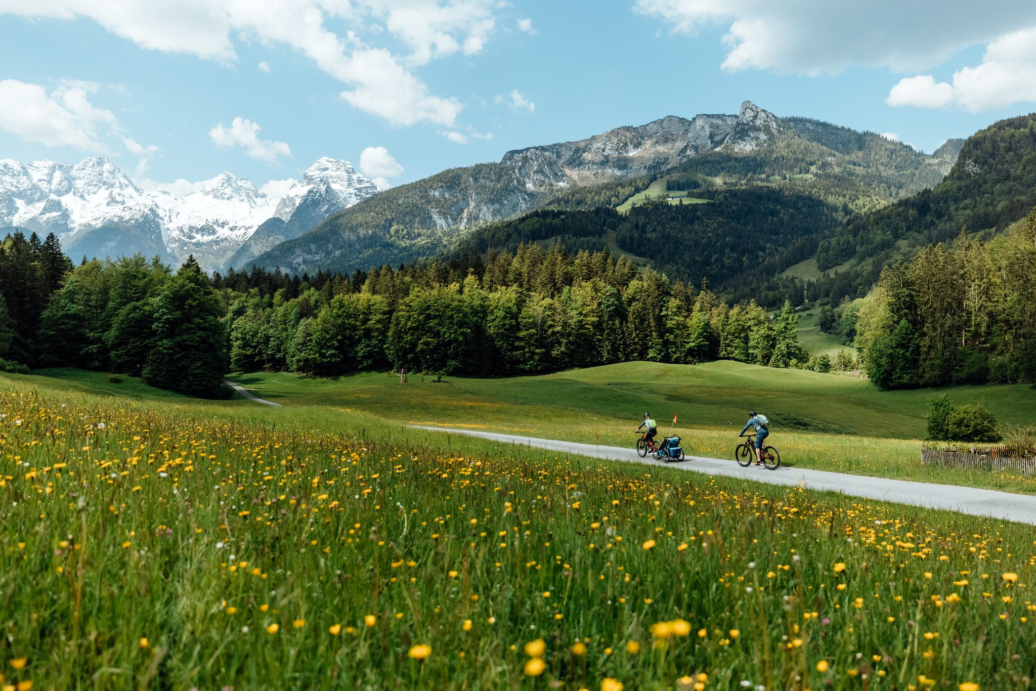
Biking with kids in Salzburg's Saalach Valley
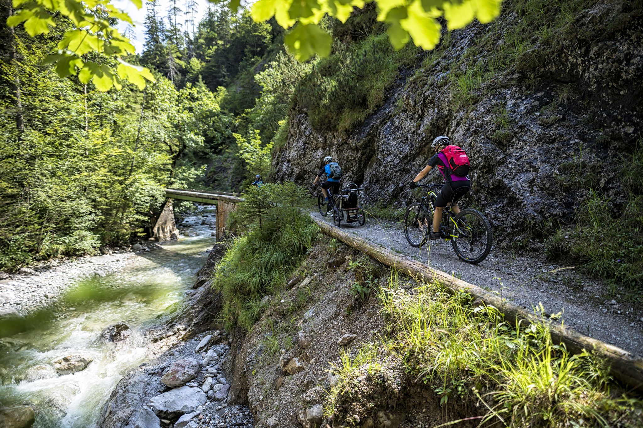
On the (e-)bike to wild water in the Salzburger Saalachtal
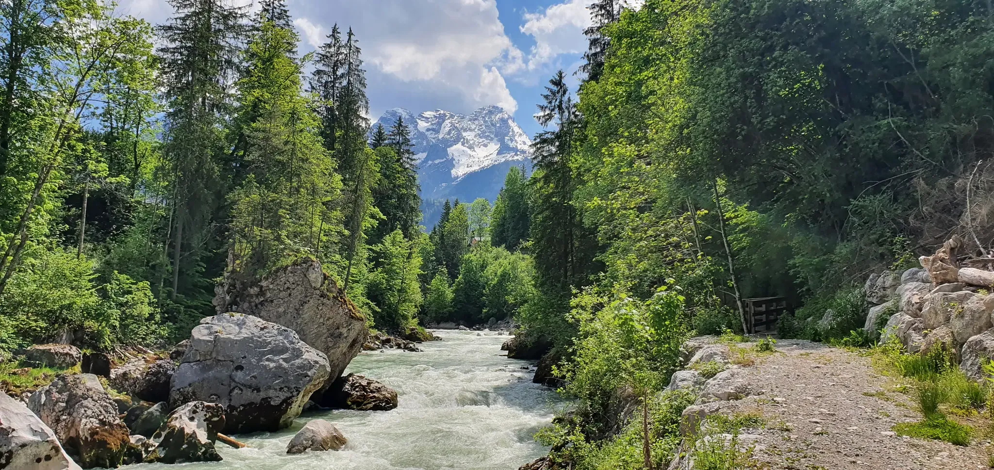
Hiking along the wild waters of the Salzburger Saalachtal

Mountain biking with kids in the Salzburger Saalachtal
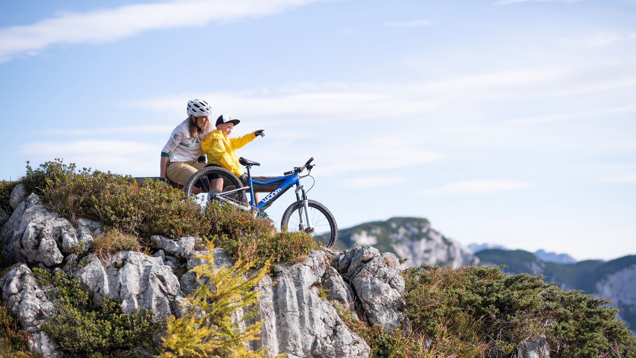
Discover Austria’s most beautiful family cycle paths with woom

Cycle together – MTB family Tours in Salzburg's Saalach Valley
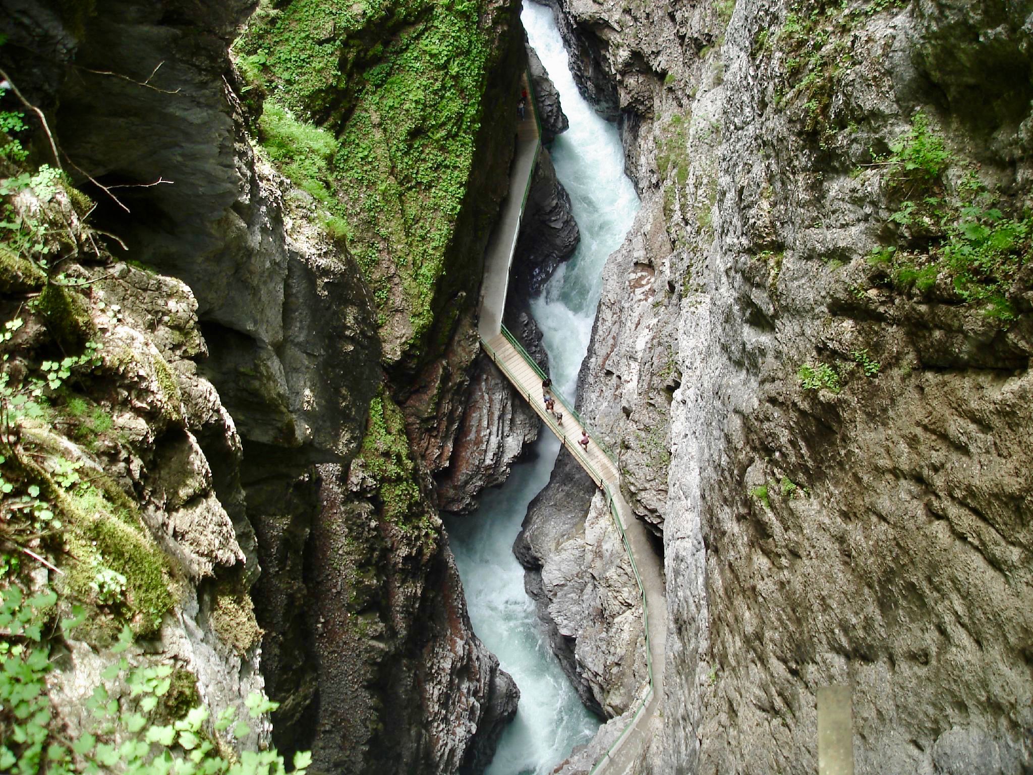
The most beautiful gorges of the Alps
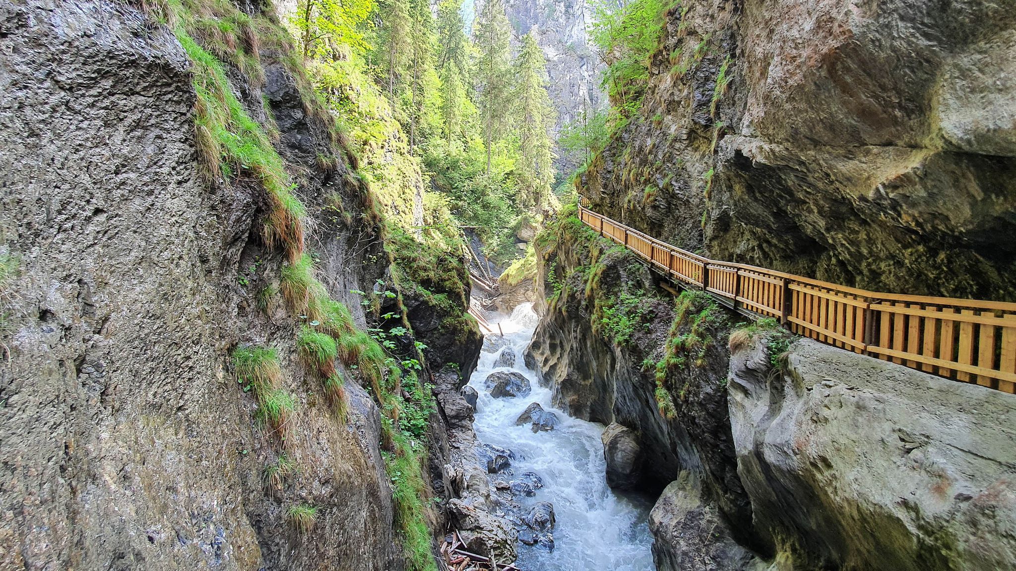
The most beautiful gorges in the Salzburger and Berchtesgadener Land
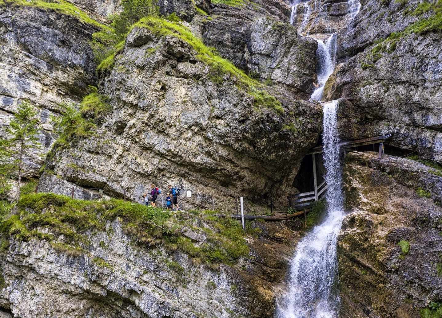
Von Familienwanderungen bis zur ersten Gipfeltour – Salzburger Saalachtal

ザンクトマルティンベイローファーでのハイキング


コミュニティからのヒント

Is a bit bigger than a stream
4
0

Here you can admire colorful plants and roaring water
9
1

Pretty shaky 😉, but great photo spot 😊.
15
0
Here you will find an information board and several benches where you can enjoy the wonderful view of the suspension bridge and the "Ramsau Dolomites" 🥰.
27
0

A beautiful suspension bridge with a view of the Ramsau Dolomites.😎
27
1
A beautiful vantage point with a view of the Klausbachtal suspension bridge and the Ramsau Dolomites.😎
26
0

Beautiful stream in the enchanted forest... it's beautiful just the way it is... please don't divert it or anything like that!
10
2

Several thousand years ago, around 15 million cubic meters of rock broke loose between Schärtenspitze and Steinberg in the Hochkalter massif and fell more than 1,000 meters into the valley. There they piled up on top of each other as boulders and dammed the Ramsauer Ache to the Hintersee. This created the charming landscape of the magic forest, which stretches from the Marxenklamm to the Hintersee. The mountain side between Schärtenspitze and Steinberg was identified as the beginning of the landslide. Over a width of around 400 meters, a 70 to 100 meter thick stack of layers had come loose, around 12 to 16 million cubic meters of rock fell into the Blaueistal and crashed onto the opposite slope; You can still find blocks up to 160 m above the valley floor today. Only some of the rock remained lying, the majority moved further down the valley. Only at the Klausbach at the valley exit did the landslides remain in the valley floor as a mass of blocks and rock debris up to 40 meters thick. In total, the landslide material covered a height difference of approximately 1,300 meters and a distance of 3.7 kilometers. The age of the landslide is now fairly well known. A piece of wood was found in a hole that was buried during the natural disaster. An age determination showed around 3500 years, i.e. Bronze Age age.
4
1
ザンクトマルティンベイローファーでのの人気ルート
ザンクトマルティンベイローファーでのの人気観光スポット

komootモバイルアプリでインスピレーションを得よう


さらに探索
これらのガイドで、最高の洞窟を探す範囲を広げましょうザンクトマルティンベイローファーでの:
