ニーダーカッペルの天然記念物・トップ20
ニーダーカッペルが誇る美しい風景を見てみたいなら、ニーダーカッペルの素晴らしい天然記念物・トップ20
に行ってみましょう。あなたにぴったりの場所が見つかるよう、素晴らしい天然記念物を探索するために必要なすべての情報を集めました。次のアウトドアの冒険に出かける計画の参考にしましょう。
最終更新日: 9月 14, 2026
シュレーゲンの蛇行
ハイライト (セグメント) • 川
翻訳者 Google •
役立つ情報 は

シュタイナーベルク・ドナウシュリンゲ 🏞️
ハイライト • 川
役立つ情報 は

今すぐサインアップして、こんな場所を発見しよう
最高のシングルトラック、ピーク、その他のエキサイティングなアウトドアスポットのおすすめを受け取ろう。
シュレーゲンのシュリンゲ
ハイライト • 自然記念物
翻訳者 Google •
役立つ情報 は

マイヤーホフベルク展望塔
ハイライト • 展望台
翻訳者 Google •
役立つ情報 は

シュレーゲナー・シュリンゲの眺め
ハイライト • 展望台
翻訳者 Google •
役立つ情報 は

無料でサインアップして、さらに多くの自然記念物を発見しましょう ニーダーカッペルでの。
すでにアカウントをお持ちですか?
無料アカウントで今日から始めよう
次の冒険が待っています。


コミュニティからのヒント

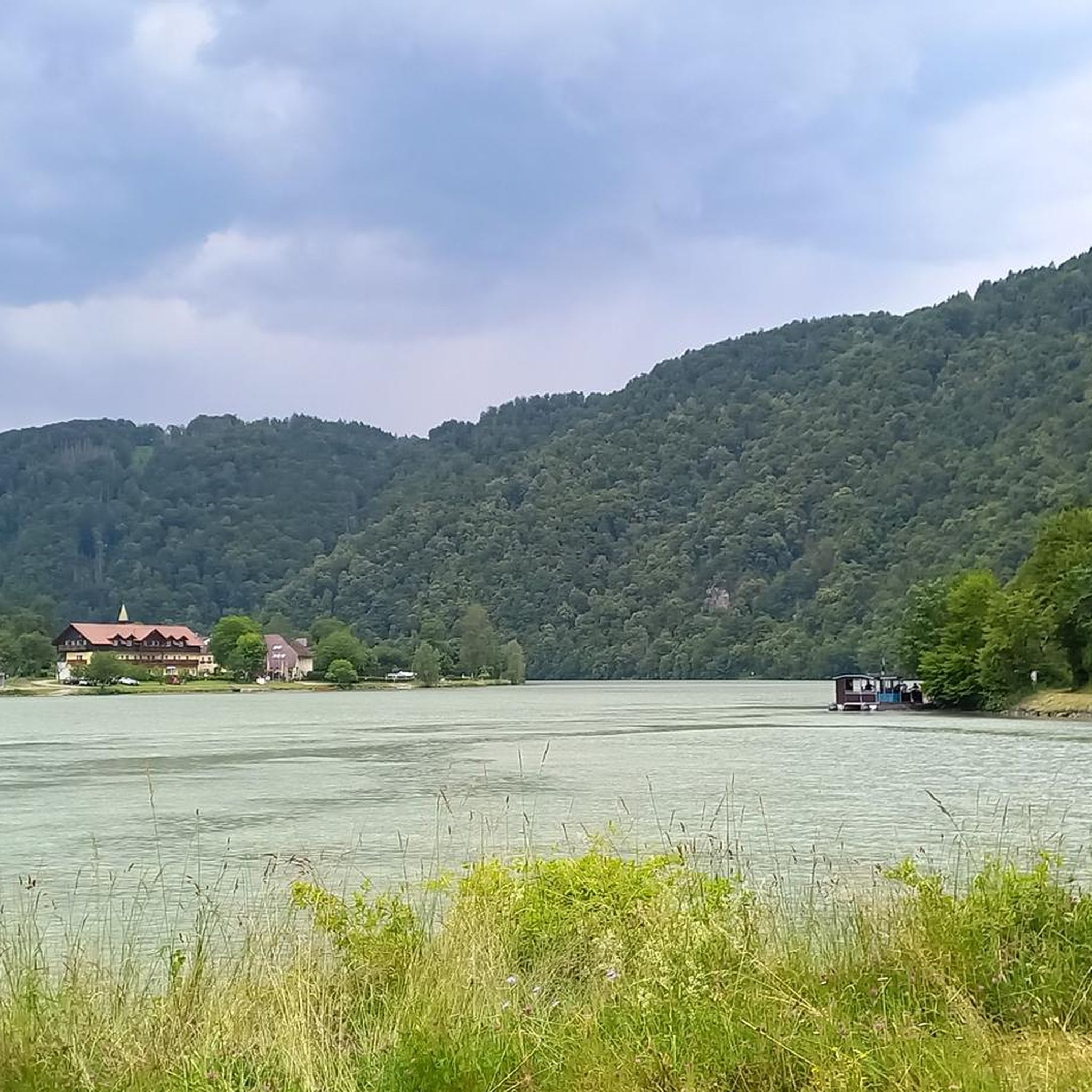
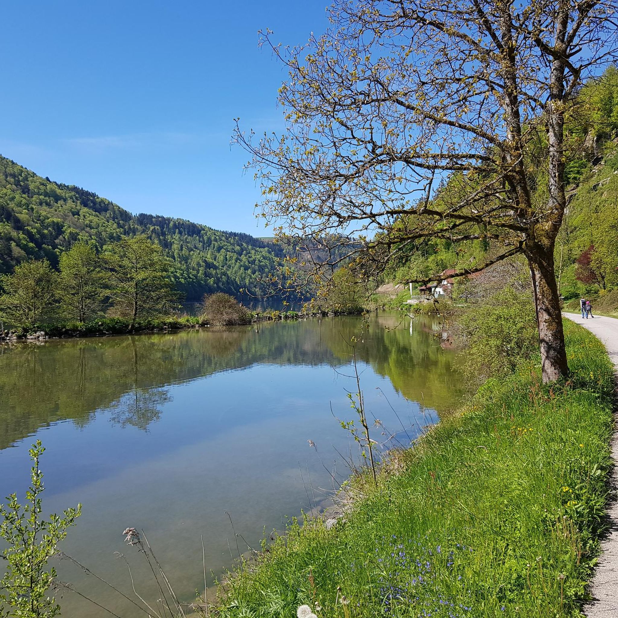
Rad Gupfは、オーバーエスターライヒ州の有名なシュレーゲナー・シュリンゲにある特別な展望ポイントです。ほとんどの観光客は古典的な「シュレーゲナー・ブリック」へハイキングしますが、Rad Gupf周辺は、ドナウ川岸辺の最も美しく自然な区間の一つとして、愛好家の間では知られています。 ハイバッハ・オプ・デア・ドナウは、オーバーエスターライヒ州の魅力的な自治体で、特にシュレーゲナー・シュリンゲの壮大なロケーションで知られています。町自体は海抜約530メートルの高台に位置しており、ドナウ川は谷のずっと下(約280メートル)を流れています。
0
0

**Schlögener Loop**! This impressive loop of the Danube is a true natural wonder and a popular destination for excursions. Here are some interesting aspects: ### General Information - **Location**: The Schlögener Loop is located in the upper Danube Valley in **Upper Austria**, approximately halfway between **Passau** and **Linz**. - **Nature**: The Loop is known for its spectacular scenery, characterized by rolling hills, forests, and the majestic Danube. ### Special Features 1. **Viewpoints**: - There are several viewpoints from which visitors can admire the impressive curve of the Danube. The **Schlögener Donaublick** is a particularly popular place to enjoy the view. 2. **Hiking Trails**: - There are numerous hiking trails around the Schlögener Loop that lead through picturesque nature. One popular trail is the **Danube Cycle Path**, which offers breathtaking views. 3. Activities: - The region is ideal for hiking, cycling, and water sports. Boat trips on the Danube are also a popular way to experience the beauty of the loop. ### Historical Significance - The Schlögener Loop not only boasts impressive natural beauty but also a rich history dating back to Roman times. It was a strategically important point for shipping and trade. ### Summary The Schlögener Loop is a fascinating natural phenomenon that has much to offer both nature lovers and history buffs. A visit here is a wonderful way to enjoy the beauty of the Danube and the surrounding countryside! ✨
1
0


The Mayrhofberg is adorned with a tower and a summit cross with some benches.
2
0
From here you can start many hikes.
1
0

almost like on the Moselle loop
0
0

Well, the hike went okay. The observation tower is nice with a nice view, but the trail is very poorly signposted.
2
0

ニーダーカッペルでのの人気観光スポット

komootモバイルアプリでインスピレーションを得よう


さらに探索
これらのガイドで、最高の洞窟を探す範囲を広げましょうニーダーカッペルでの:
