シュリースハイムの峠・トップ5
風景を楽しんだり、上りや下りを満喫したり、峠には楽しみ方がたくさんあります。シュリースハイムの素晴らしい峠の一覧を参照して、思い出に残るアドベンチャーに出かけましょう。コミュニティのメンバーがコミュニティのために投稿した峠のハイライトは、他のユーザーが実際におすすめする情報なので、どれも信頼できるものです。気に入った峠にさっそく向かってみましょう。
最終更新日: 9月 13, 2026
ビルトシュトック・アム・カルテン・ヘルゴット
ハイライト • 記念碑
翻訳者 Google •
役立つ情報 は

Kreidacher Höhe (430m) - Odw. 🚴♂️
ハイライト • 山道
翻訳者 Google •
役立つ情報 は

今すぐサインアップして、こんな場所を発見しよう
最高のシングルトラック、ピーク、その他のエキサイティングなアウトドアスポットのおすすめを受け取ろう。
ミュンヘル峠からツィーゲルハウゼンへの下り
ハイライト (セグメント) • トレイル
The route over the Münchelpass is the old connecting road from Ziegelhausen to Schönau
翻訳者 Google •
役立つ情報 は

ミュンヘル峠への緩やかな登り
ハイライト (セグメント) • 山道
翻訳者 Google •
役立つ情報 は
無料アカウントで今日から始めよう
次の冒険が待っています。
シュリースハイム周辺で人気
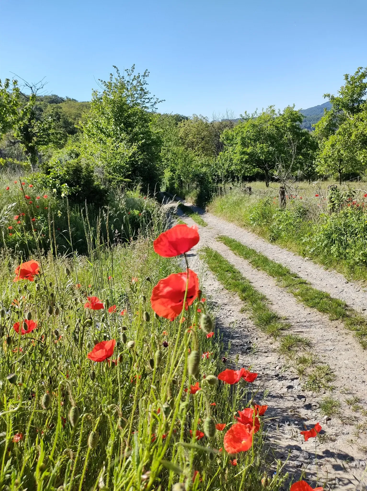
葡萄と花の間 – Bergsträßer Blütenweg
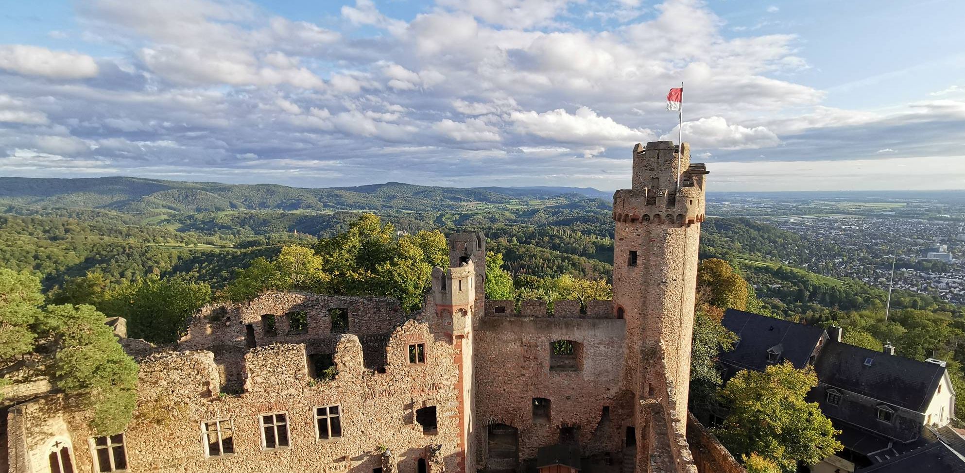
ナイトの足跡を追って – 9ステージでのバーゲンスタイク・ベルクシュトラーセ・ハイキング
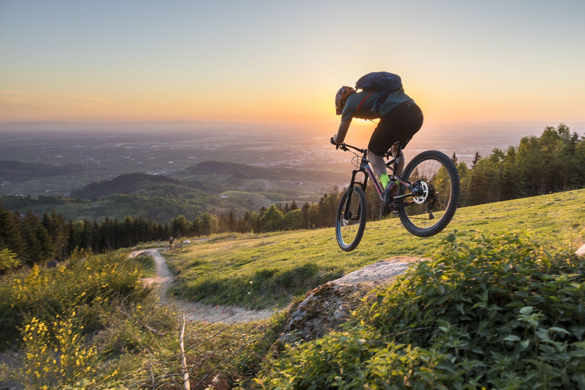
MTB flow in BW! Trails from the Schwarzwald to the Odenwald
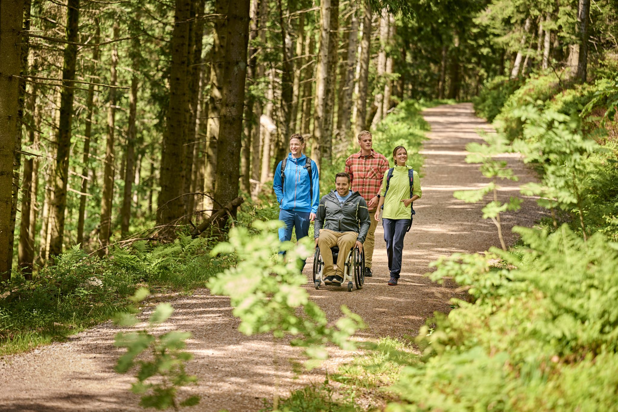
Accessible hiking routes in Baden-Württemberg
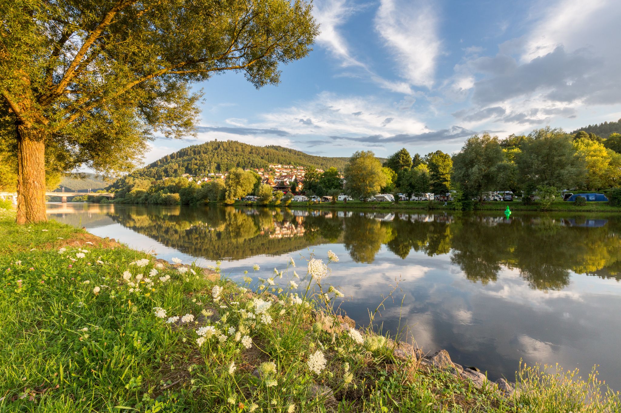
Experience nature – hiking in the Odenwald and Neckar Valley
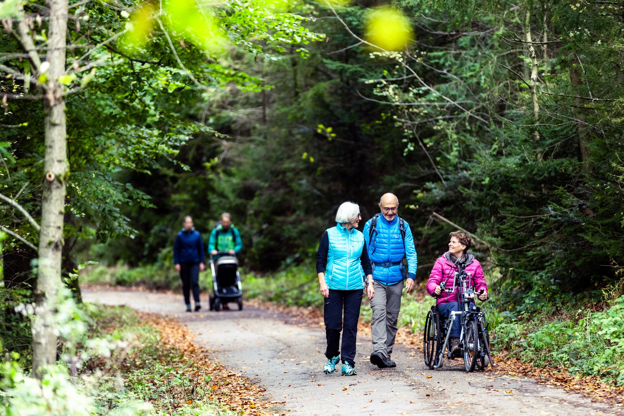
Komfort-Wanderwege im Naturpark Neckartal-Odenwald
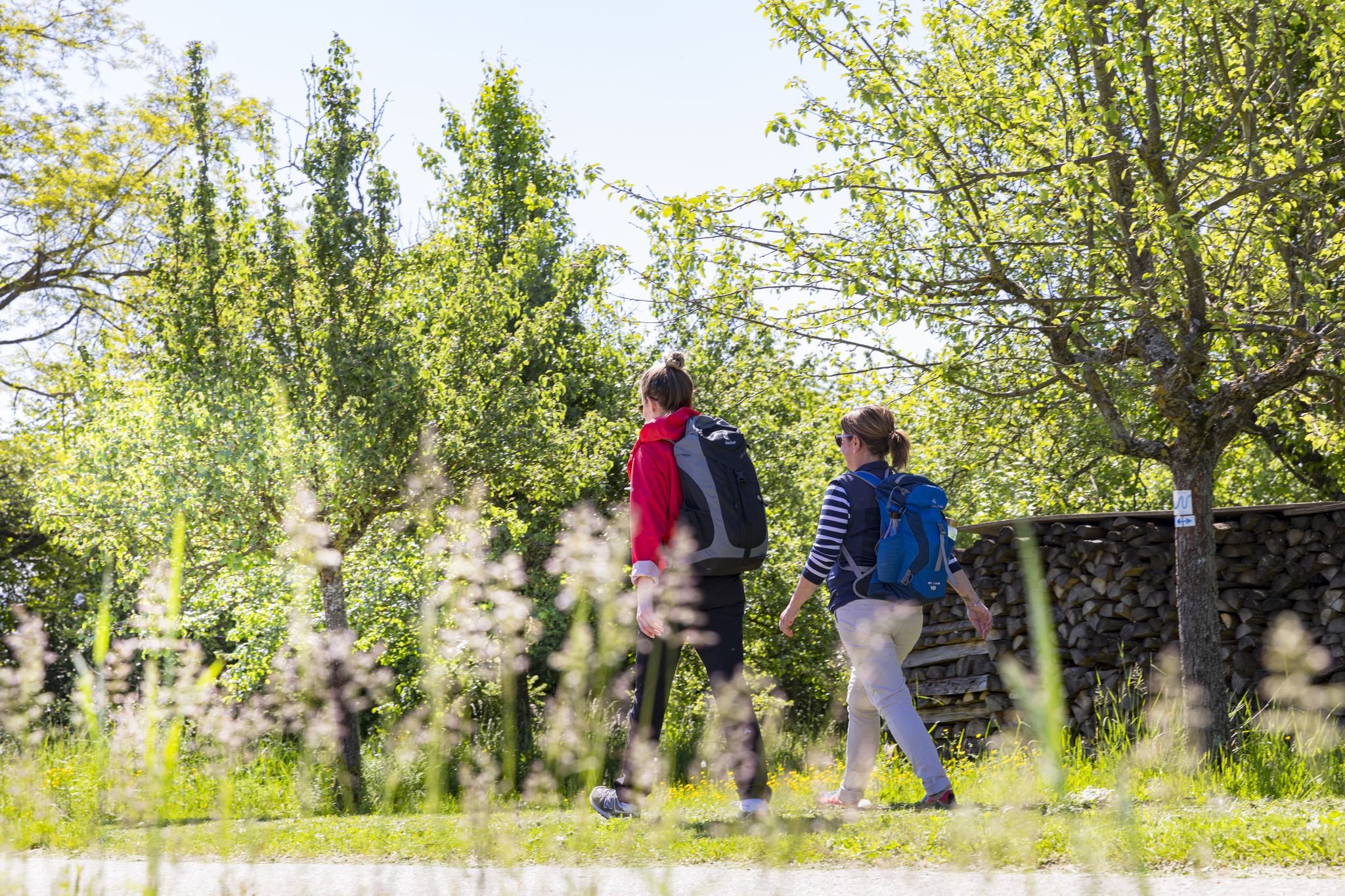
BahnWandern im Naturpark Neckartal-Odenwald
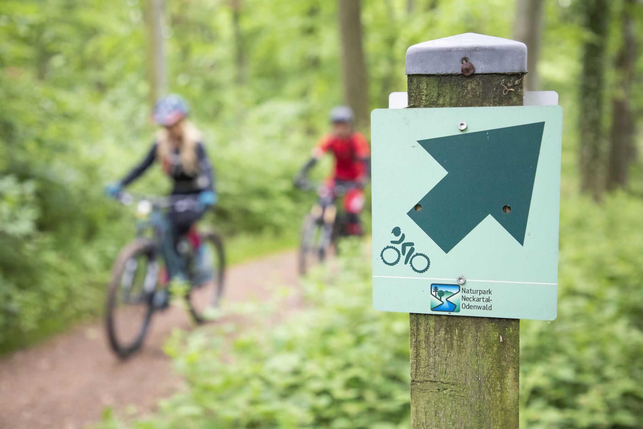
Mountainbike-Touren im Naturpark Neckartal-Odenwald
シュリースハイムでのハイキング
シュリースハイムのランニングコース
シュリースハイムでのの他の冒険


コミュニティからのヒント

The mountain saddle between Ritschweier and Kunzenbach is called "cold Lord God". And today he lived up to his name, it was actually very sunny, but the icy wind was not without it. The age of the wayside shrine is not known. Today, behind a lattice, the wayside shrine houses an image of a farmer with a fully loaded harvest wagon. On August 12, 1922, the farmer Valentin Müller had a fatal accident here.
1
0

Yes, the descent is very fast, but it gets flatter at the bottom.
0
1

A beautiful hill with a great view.
0
0

An ice-cold wind often blows at the height in winter. Hence the wayside shrine got its name.
0
0

Cooking cheese schnitzel and mega delicious rump steaks
0
0


Great view when you come out of the as - but it can also be pretty windy up here ... I was lucky today 🍀 and the weather was great.
2
0

From the wayside shrine there are many MTB tours of all difficulties
1
0

komootモバイルアプリでインスピレーションを得よう


さらに探索
これらのガイドでさらに壮大な山道を見てみましょうシュリースハイムでの:
