フラウエンヴァルトの峠・トップ5
風景を楽しんだり、上りや下りを満喫したり、峠には楽しみ方がたくさんあります。フラウエンヴァルトの素晴らしい峠の一覧を参照して、思い出に残るアドベンチャーに出かけましょう。コミュニティのメンバーがコミュニティのために投稿した峠のハイライトは、他のユーザーが実際におすすめする情報なので、どれも信頼できるものです。気に入った峠にさっそく向かってみましょう。
最終更新日: 8月 30, 2026
シュタインバッハへの景色の良い山道
ハイライト (セグメント) • トレイル
翻訳者 Google •
役立つ情報 は

ホーエ・タンネ
ハイライト • 山道
翻訳者 Google •
役立つ情報 は

今すぐサインアップして、こんな場所を発見しよう
最高のシングルトラック、ピーク、その他のエキサイティングなアウトドアスポットのおすすめを受け取ろう。
無料新規登録
シュネーコップ北側登り
ハイライト (セグメント) • 山道
翻訳者 Google •
役立つ情報 は
テューリンゲンの森の最も標高が高い舗装地点(942m)
ハイライト • 山道
翻訳者 Google •
役立つ情報 は
ギースューベルとシュヴァルベンハウプトの間の山道
ハイライト (セグメント) • 山道
翻訳者 Google •
役立つ情報 は

無料でサインアップして、さらに多くの山道を発見しましょう フラウエンヴァルトでの。
無料新規登録
すでにアカウントをお持ちですか?
無料アカウントで今日から始めよう
次の冒険が待っています。
ログインまたは登録
フラウエンヴァルト周辺で人気
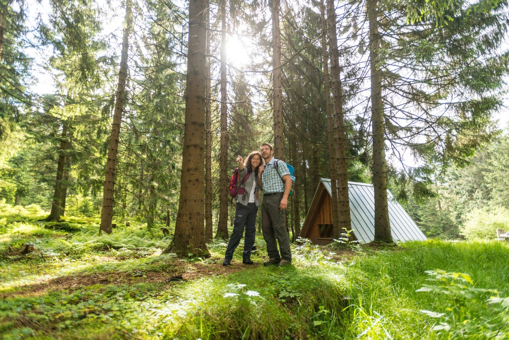
ザ・レンシュタイク — テューリンゲンの最も美しいハイキングルート
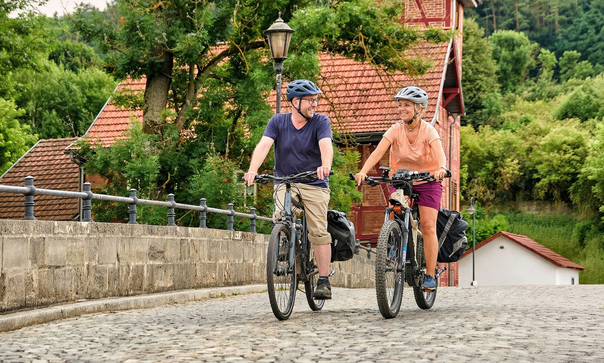
Leisure cycling and touring in Thuringia
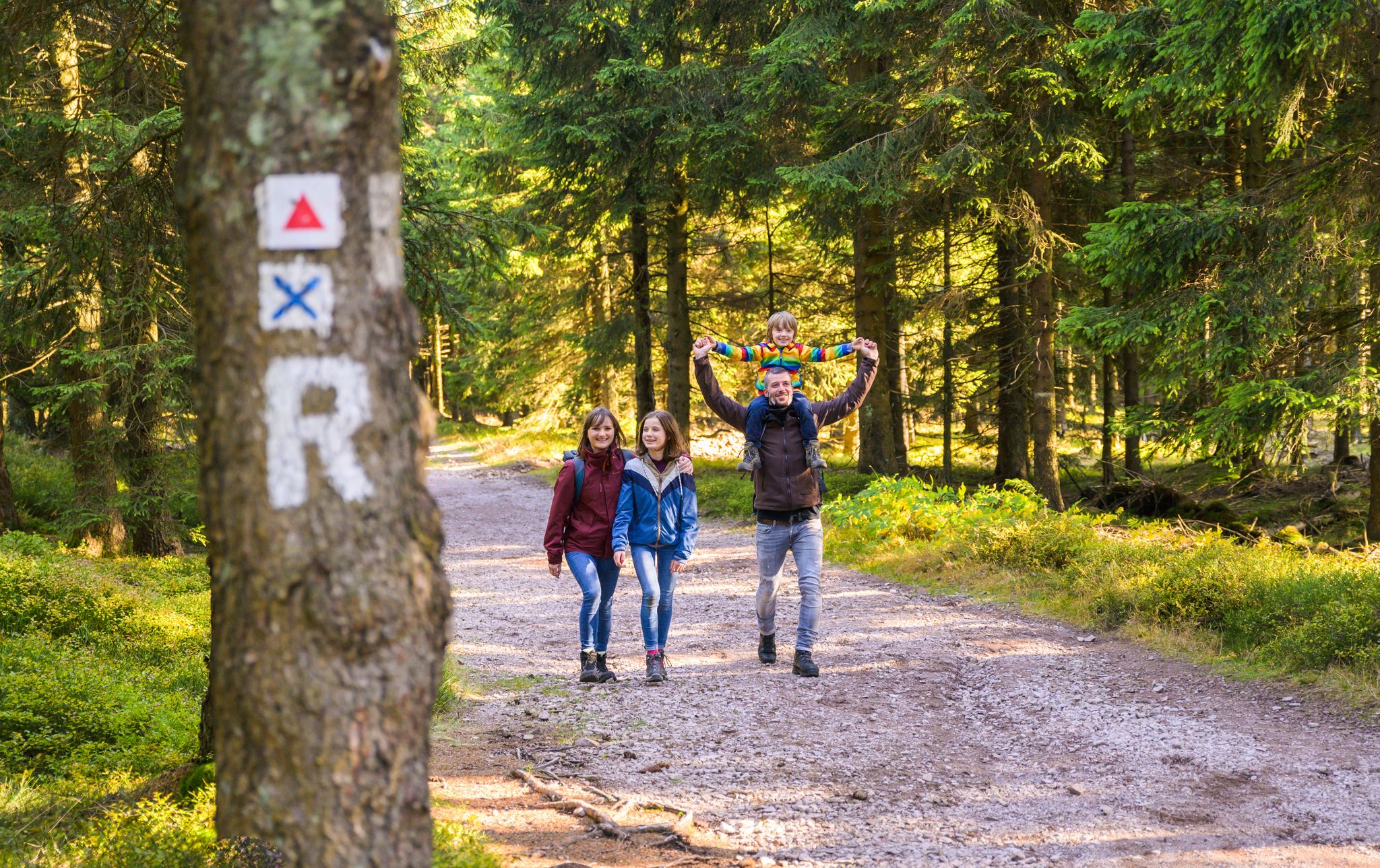
Play, nature and good fun – family hikes in the Thuringian Forest
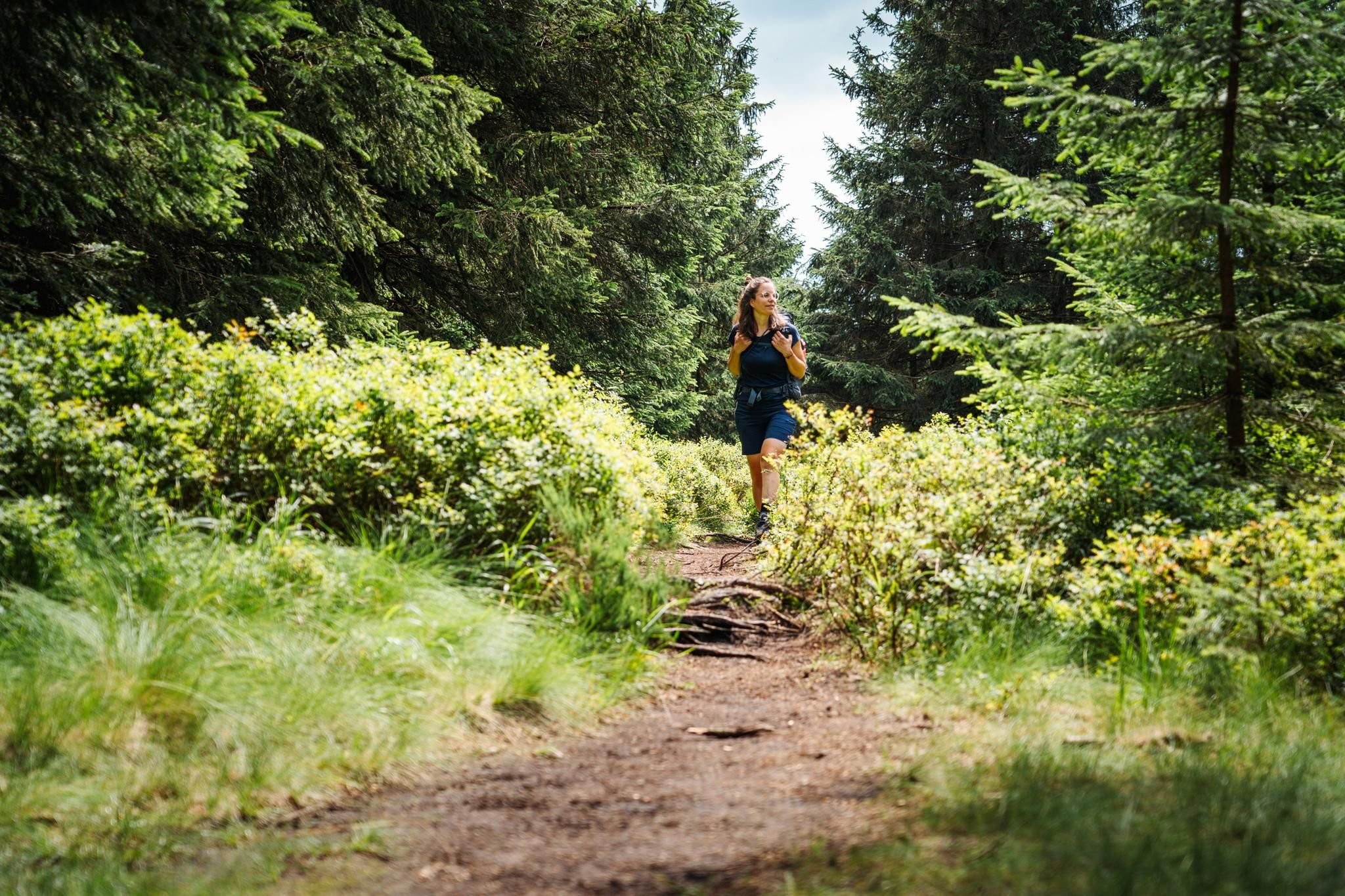
テューリンゲンの森が呼んでいます – レンシュタイクでの遠距離ハイキング

Long distance hiking trails in the Thuringian Forest
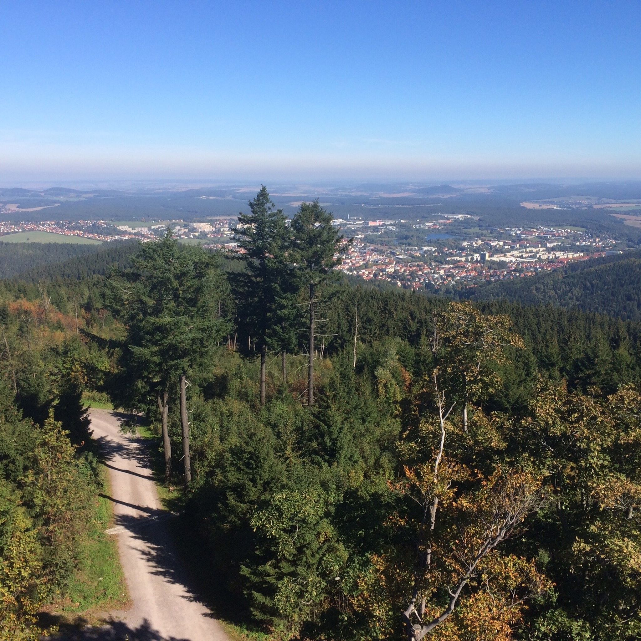
フラウエンヴァルトでのハイキング
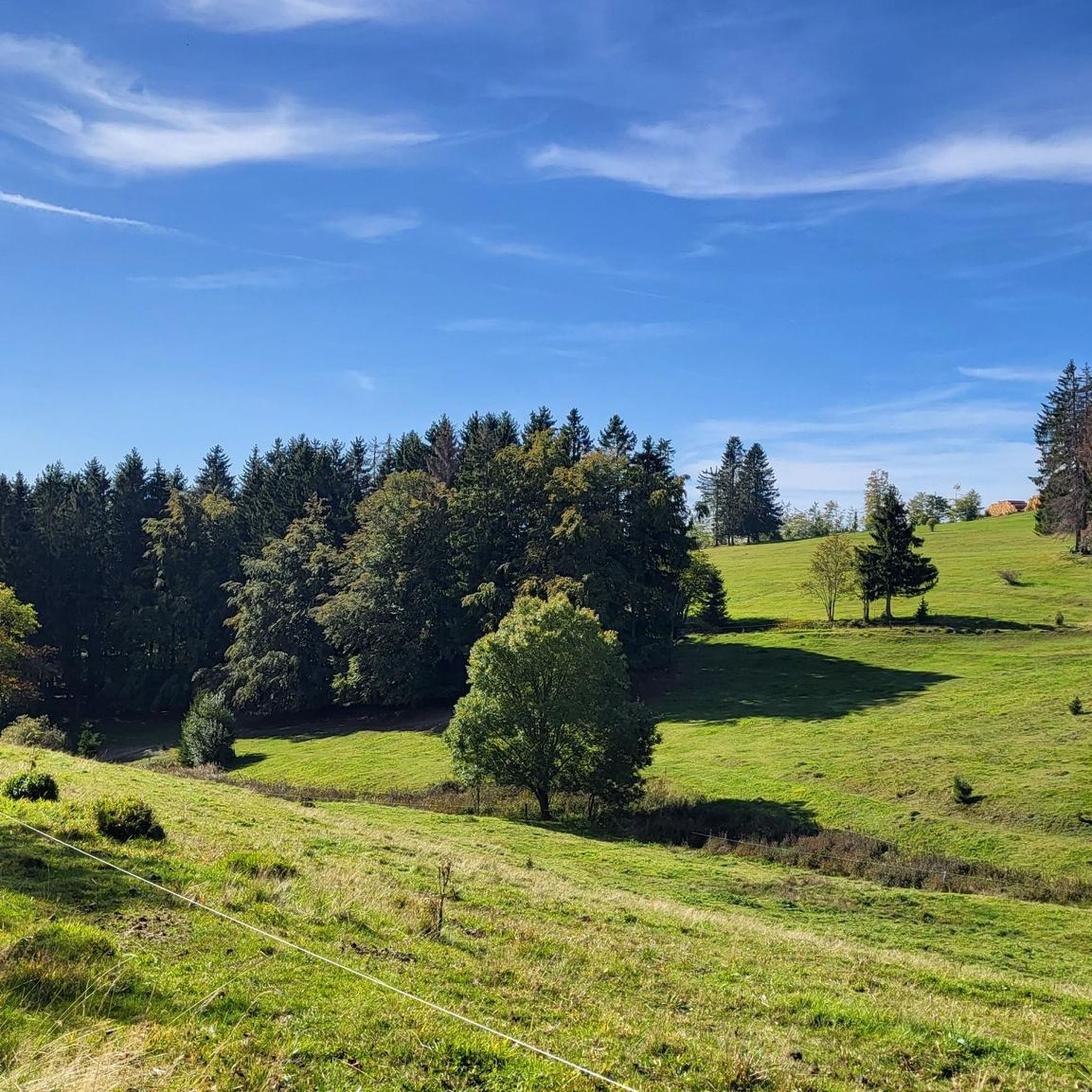
フラウエンヴァルトのMTBトレイル
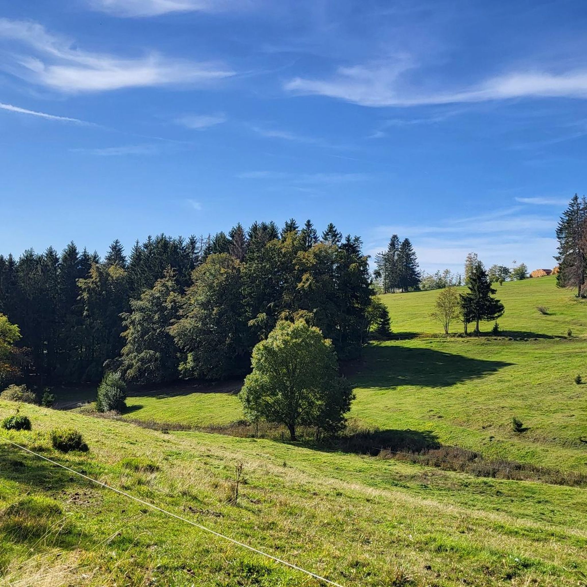
フラウエンヴァルトのロードバイクルート
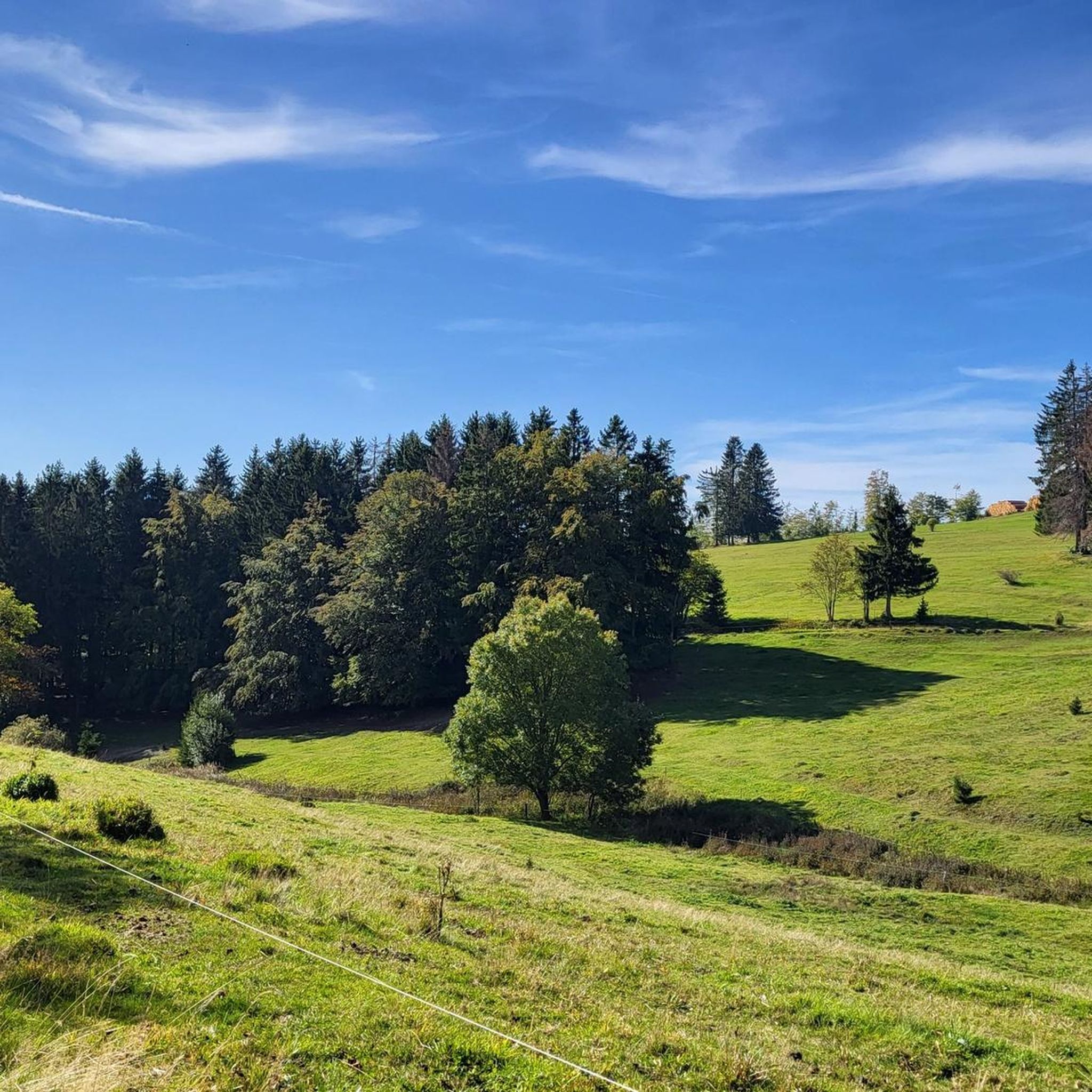
フラウエンヴァルトでのサイクリング
フラウエンヴァルトのランニングコース
フラウエンヴァルトでのの他の冒険


コミュニティからのヒント

Comfortable pass ride with moderate gradients.
0
0
Comfortable pass ride, the gradient is kept well within limits.
0
0


ついに標識も再び設置されました - 「思い出」として完璧です
0
0

From here it is downhill in all directions for a long time. The route from here via Oberhof into the Geratal is very beautiful.
1
0
The highest point of the Ilmenau - Großbreitenbach railway cycle path. See also https://www.quaeldich.de/paesse/hohe-tanne/ and http://www.bahntrassenradeln.de/details/th22.htm The high fir tree (701 m) lies in a saddle between the Langen Berg (808 m) and the Rennsteig approx. 850. You can decide here whether you want to * go up to the Rennsteig to Neustadt * continue on the railway cycle path to Großbreitenbach - Altenfeld * go down into the Schwarzatal * head northeast towards Rinnetal - Saalfeld * go down to Ilmenau on the tarred railway cycle path * or go down to Ilmenau on the country road. The best way to get from the railway cycle path is by racing bike *west/south through an industrial site and the HohenTanne road to the bridge and back to the roads == == ______hohe Tanne--____// __C____________________)(________>_Ilmenau railway cycle path //
0
0

A dream for racing cyclists 🤩
0
0

…Would have been on the sign if it hadn't been stolen.
1
0

komootモバイルアプリでインスピレーションを得よう


さらに探索
これらのガイドでさらに壮大な山道を見てみましょうフラウエンヴァルトでの:
