ヴィースバーデンの峠・トップ6
風景を楽しんだり、上りや下りを満喫したり、峠には楽しみ方がたくさんあります。ヴィースバーデンの素晴らしい峠の一覧を参照して、思い出に残るアドベンチャーに出かけましょう。コミュニティのメンバーがコミュニティのために投稿した峠のハイライトは、他のユーザーが実際におすすめする情報なので、どれも信頼できるものです。気に入った峠にさっそく向かってみましょう。
最終更新日: 9月 13, 2026
ヴィースバーデンからのホーエ・ヴルツェルの登り
ハイライト (セグメント) • 山道
翻訳者 Google •
役立つ情報 は

タウヌス峠「プラット」標高500m - ヴィースバーデン 🚴♂️
ハイライト • 山道
翻訳者 Google •
役立つ情報 は

今すぐサインアップして、こんな場所を発見しよう
最高のシングルトラック、ピーク、その他のエキサイティングなアウトドアスポットのおすすめを受け取ろう。
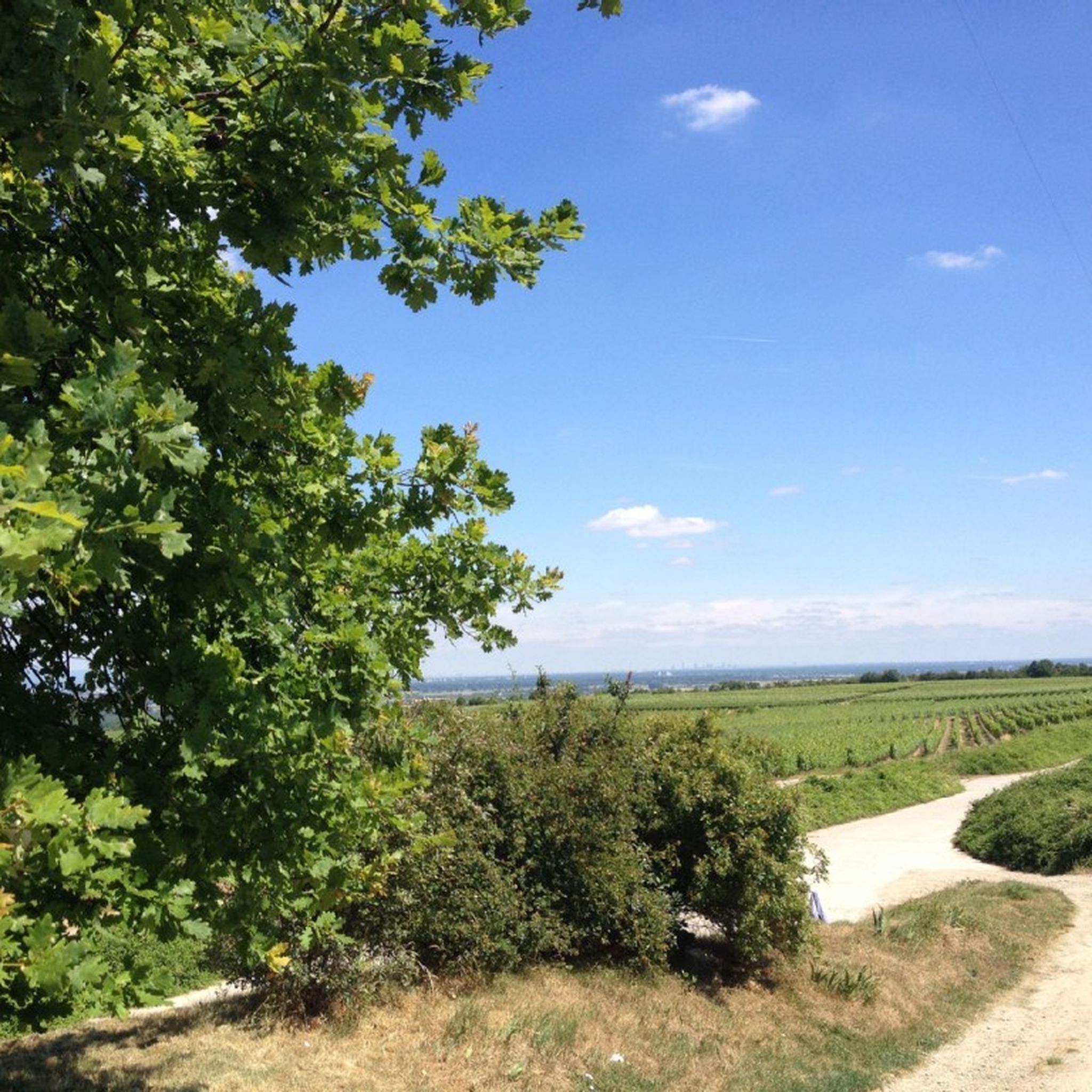
ナウロート付近の分岐点―フェルトベルクやフランクフルトの眺望あり
ハイライト • 展望台
翻訳者 Google •
役立つ情報 は

無料アカウントで今日から始めよう
次の冒険が待っています。
ヴィースバーデン周辺で人気
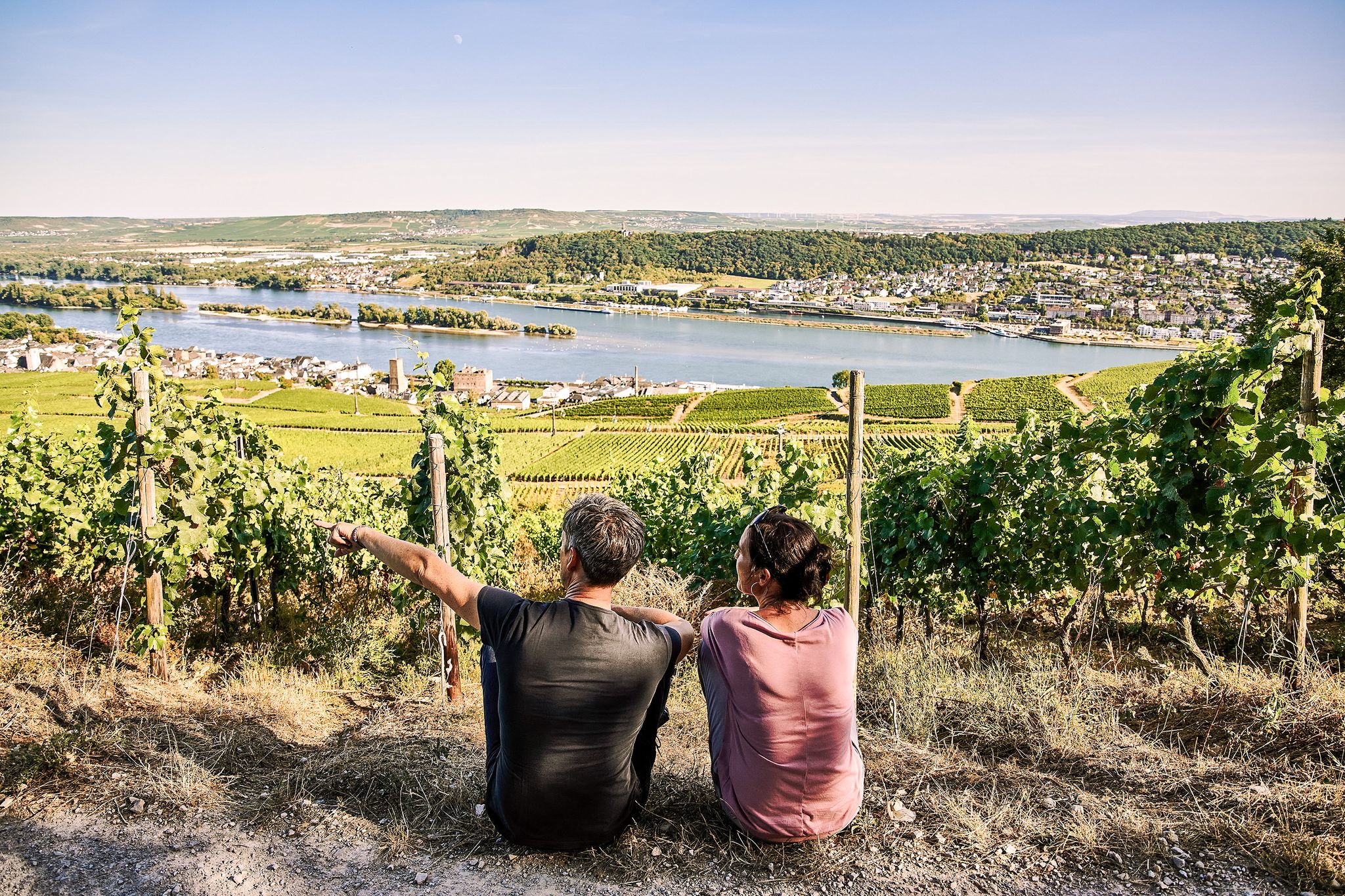
Riesling Loops – 14 routes rich in wine and history
Spring is here – hiking with family by bus & train in Rhine-Main
Stadt aus, Natur an im Rhein-Main-Gebiet – Mit Magnesium-Diasporal®
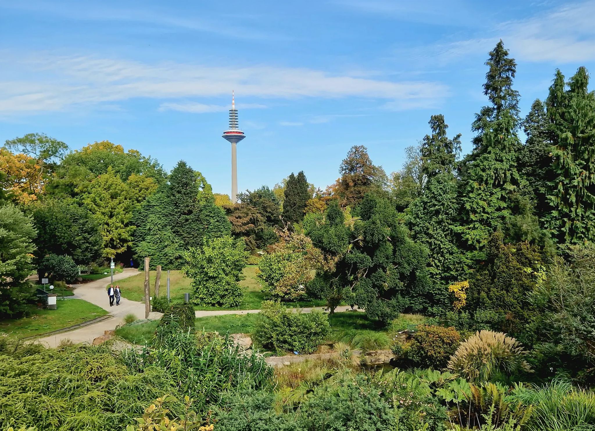
Einfach durch Wiesbaden, Mainz, Darmstadt und Frankfurt am Main
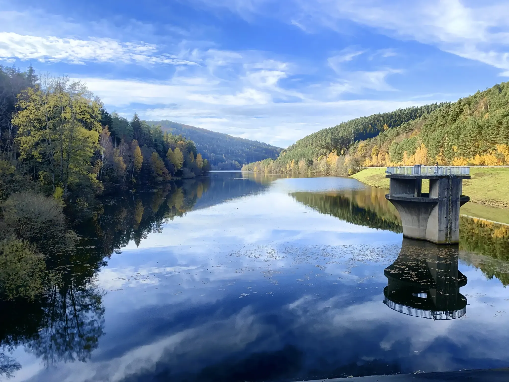
Mit Rosbacher auf Tour im Rhein-Main-Gebiet
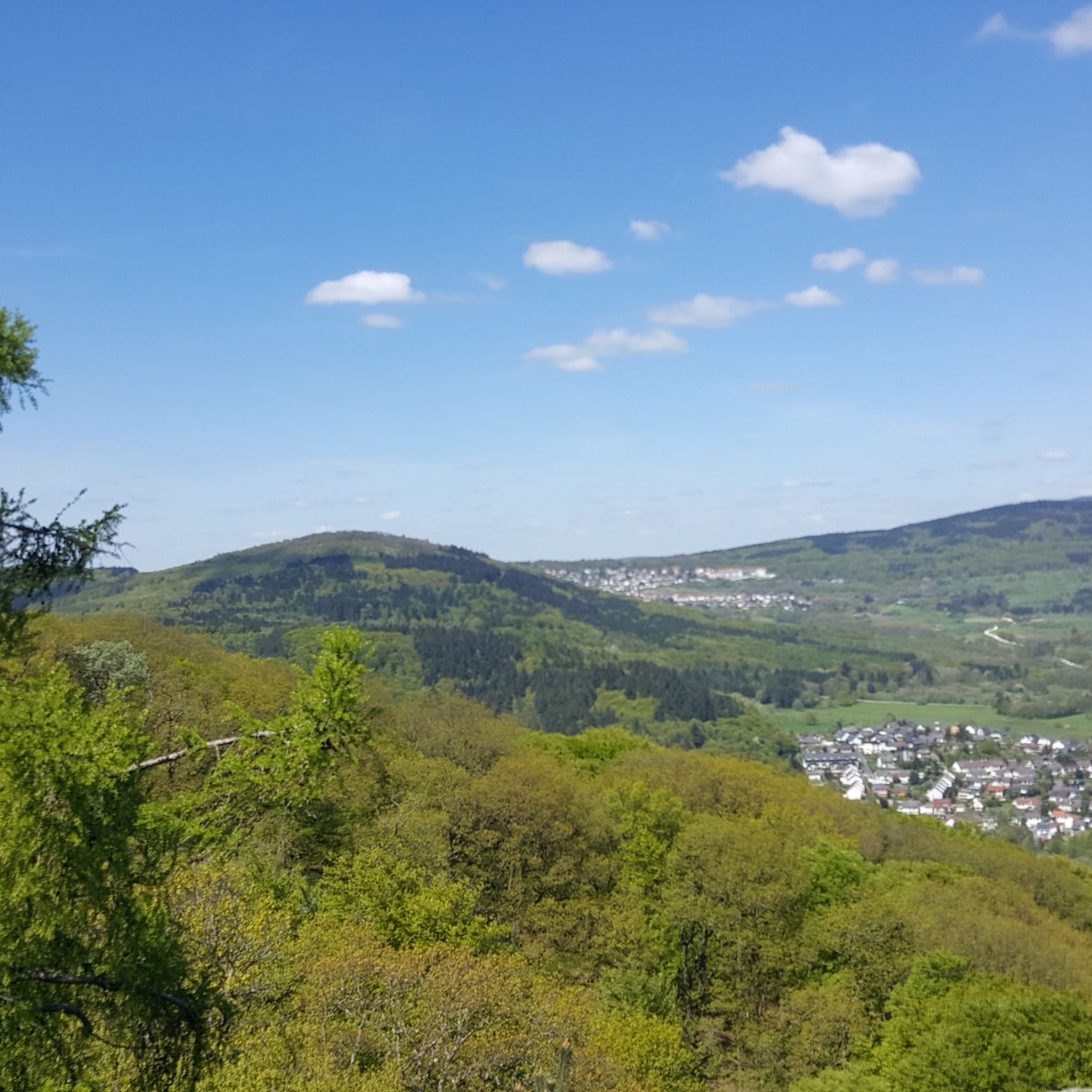
ヴィースバーデンでのハイキング
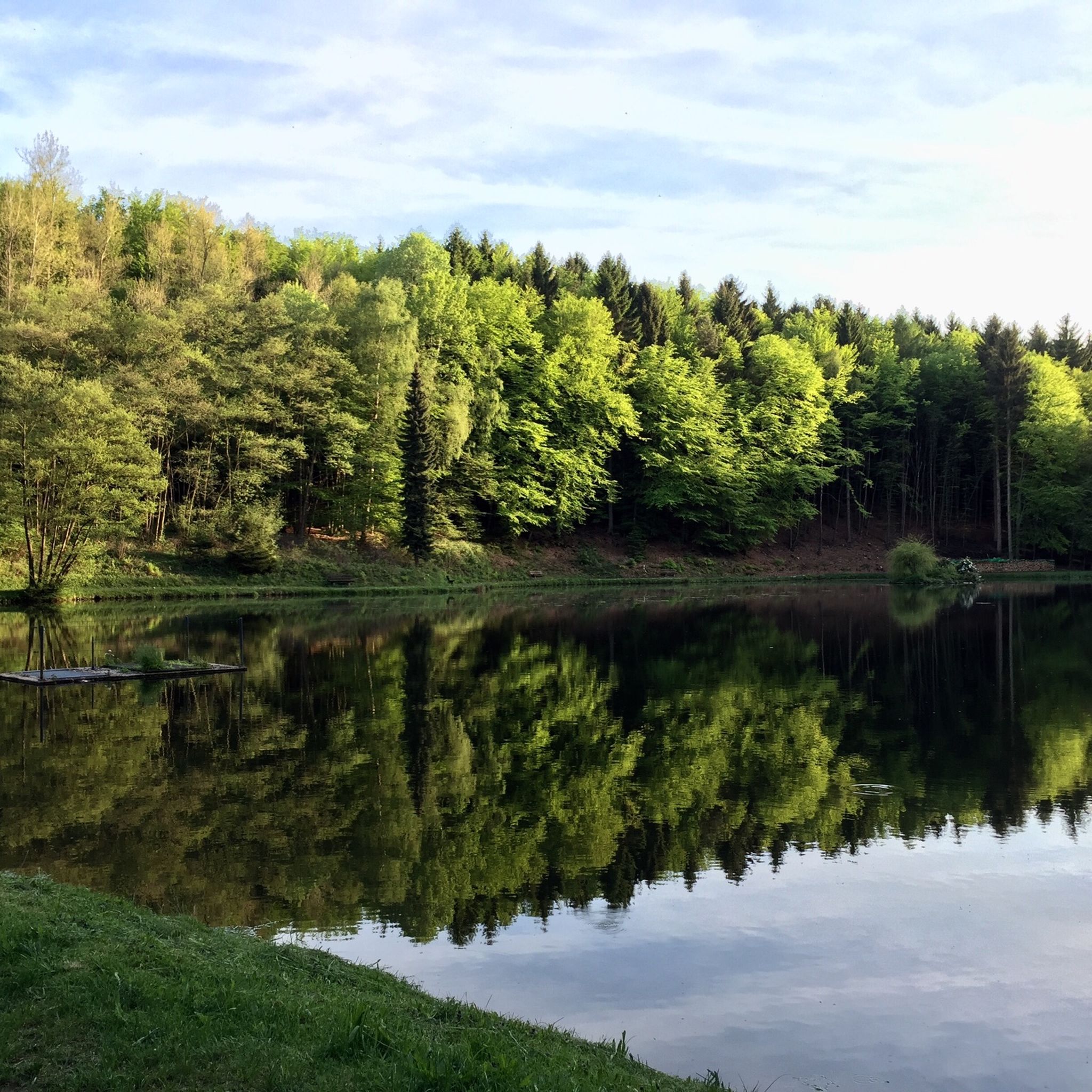
ヴィースバーデンのランニングコース
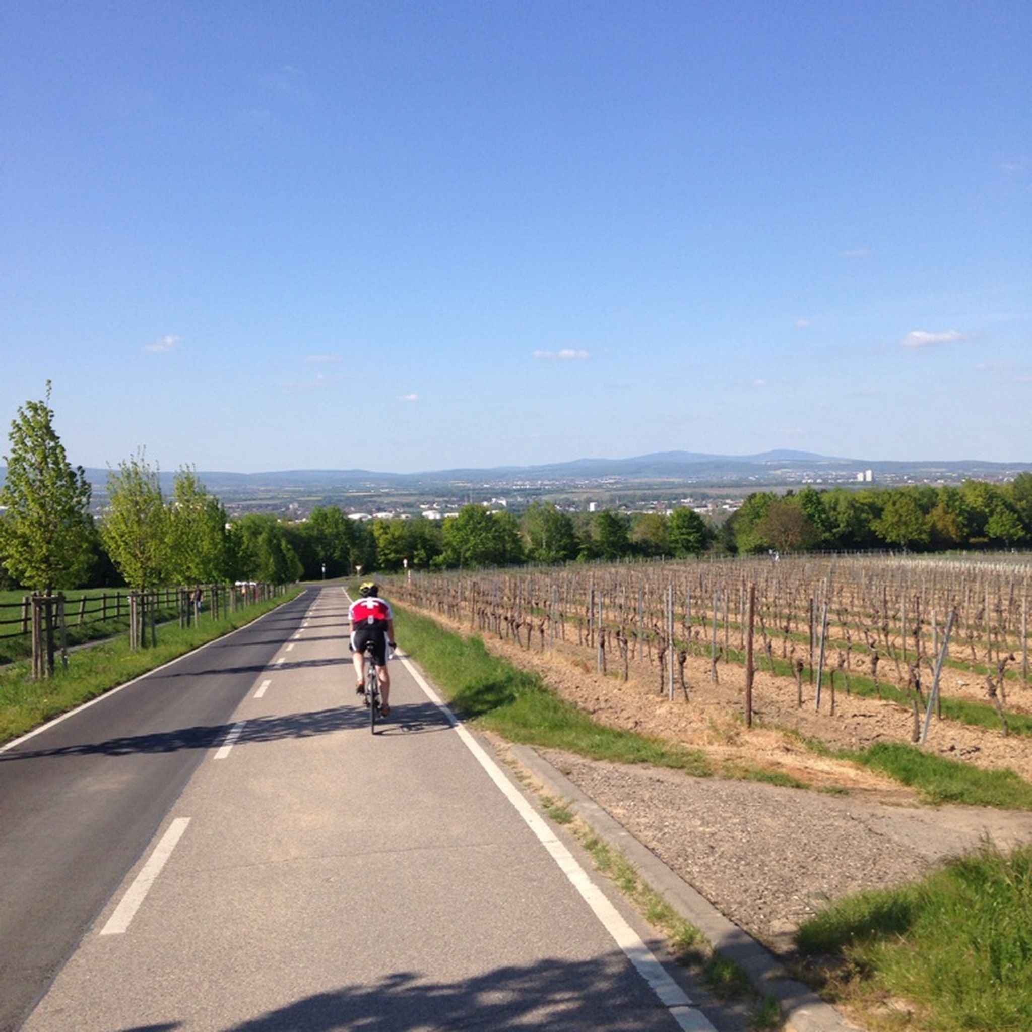
ヴィースバーデンのロードバイクルート
ヴィースバーデンでのサイクリング
ヴィースバーデンのMTBトレイル
ヴィースバーデンでのの他の冒険


コミュニティからのヒント

広大な景色.. 何もなし
1
0

View over Naurod to Feldberg and towards Frankfurt
1
0

It's a beautiful road, but there's far too much traffic for a good drive. Especially since there are still too many combustion engines.
4
0

Here is the lowest point on the ridge between the Kellerskopf and the Steinkopf. A transition from the upper reaches of the Wickerbach to the valley of the Rambach.
1
0

The plate is one at 498 m above sea level. NN located plateau elevation, which serves the federal road 417 as a pass over the Wiesbaden Taunushauptkamm. 🚴♂️ The slab up and down on the B417 is undoubtedly the best driveway to the pass, but traffic-wise quite explosive - so always keep your eyes open and all-round view of the "Alte Platter Straße" 🚴♂️ Among other things, the Jagdschloß Platte, the Forsthaus Platte belonging to Hessen-Forst, an excursion restaurant with a parking lot, are located on the Plattenpass. The federal road 417 leads west past the castle. Along the Taunus ridge in a westerly direction, the next elevations are given as a challenge: - Iron hand - High root - Red stone - Hausener Höhe https://de.wikipedia.org/wiki/Platte_(Taunus)
2
0

In the Rheingau they simply cannot do flat inclines. This can also be seen here. Always high, but very nice.
2
0

Three kilometers long and an average gradient of 10%, with peaks of 14%. The pass feels like a really big one thanks to the small ramps and switchbacks. :) Highly recommended.
3
0

After this climb, you are all the more looking forward to cold water at home
1
1

komootモバイルアプリでインスピレーションを得よう


さらに探索
これらのガイドでさらに壮大な山道を見てみましょうヴィースバーデンでの:
