モーゼル渓谷の天然記念物・トップ20
モーゼル渓谷が誇る美しい風景を見てみたいなら、モーゼル渓谷の素晴らしい天然記念物・トップ20
に行ってみましょう。あなたにぴったりの場所が見つかるよう、素晴らしい天然記念物を探索するために必要なすべての情報を集めました。次のアウトドアの冒険に出かける計画の参考にしましょう。
最終更新日: 8月 30, 2026
カルモント・ヴィア・フェラータ
ハイライト (セグメント) • 登山
翻訳者 Google •
役立つ情報 は

ルッパーツ渓谷
ハイライト (セグメント) • 峡谷
翻訳者 Google •
役立つ情報 は

今すぐサインアップして、こんな場所を発見しよう
最高のシングルトラック、ピーク、その他のエキサイティングなアウトドアスポットのおすすめを受け取ろう。
無料新規登録
ドイチェス・エック — ライン川とモーゼル川の合流点とカイザー・ヴィルヘルム1世の記念碑
ハイライト • 記念碑
翻訳者 Google •
役立つ情報 は

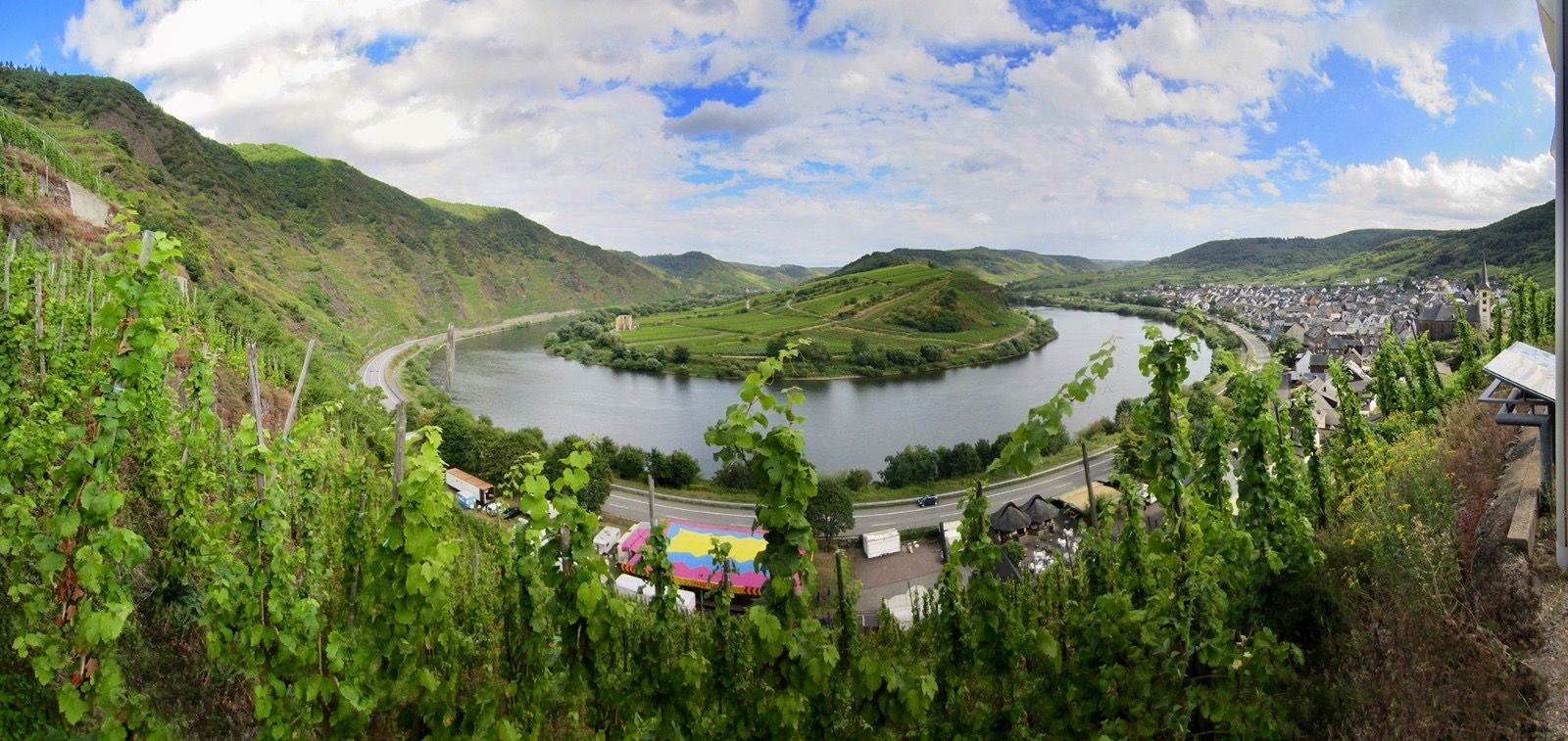
カールモント山頂下に広がるモーゼル川の蛇行のパノラマビュー
ハイライト • 展望台
翻訳者 Google •
役立つ情報 は

カルモント・ホーエンヴェーク
ハイライト • トレイル
翻訳者 Google •
役立つ情報 は

無料でサインアップして、さらに多くの自然記念物を発見しましょう モーゼル渓谷での。
無料新規登録
すでにアカウントをお持ちですか?
無料アカウントで今日から始めよう
次の冒険が待っています。
ログインまたは登録
モーゼル渓谷周辺で人気
モゼル川サイクリングルート — ヴォージュからラインまで18ステージ

ドイツのザール=フンスルッククライムでハイキングをして、文化と自然が出会う場所に行きましょう
トリールからコブレンツへ — モーゼルクロスを通ります
モーゼルシュタイグトレイル - 日光のモーゼル谷沿いの24ステージ
ラインシュタイグ・トレイルの21ステージ – ライン川沿いに
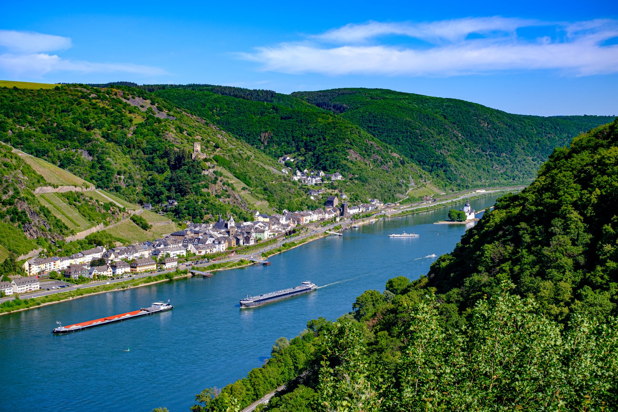
ライン城塞トレイル – 13ステージの純粋なラインロマンチシズム

ライン自転車道は源流から北海まで
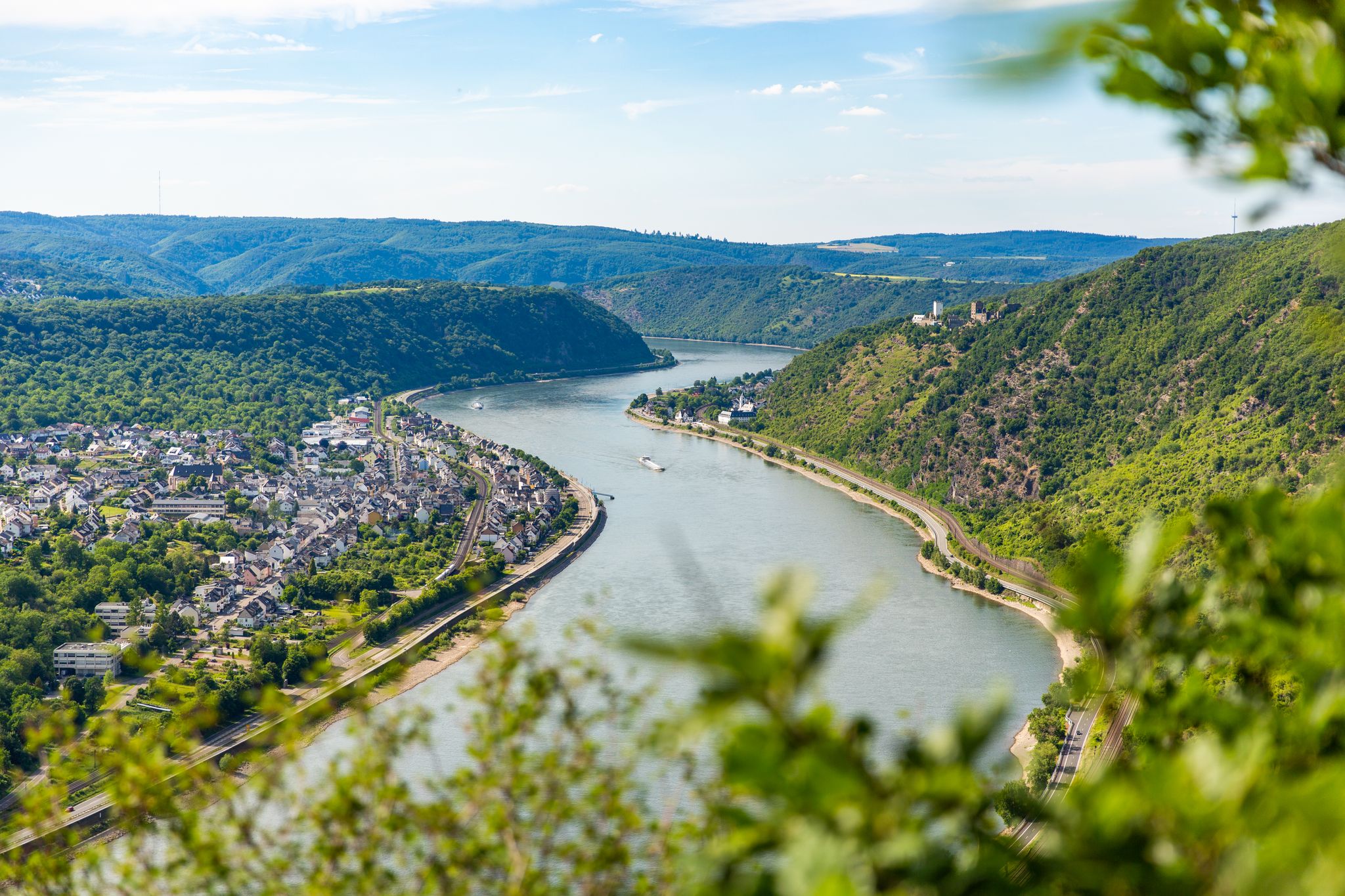
Up and down along the Rhine – adventure on the Rheinsteig

Dream Trails in the Rhine-Mosel-Eifel Region – Small Trails, Great Nature
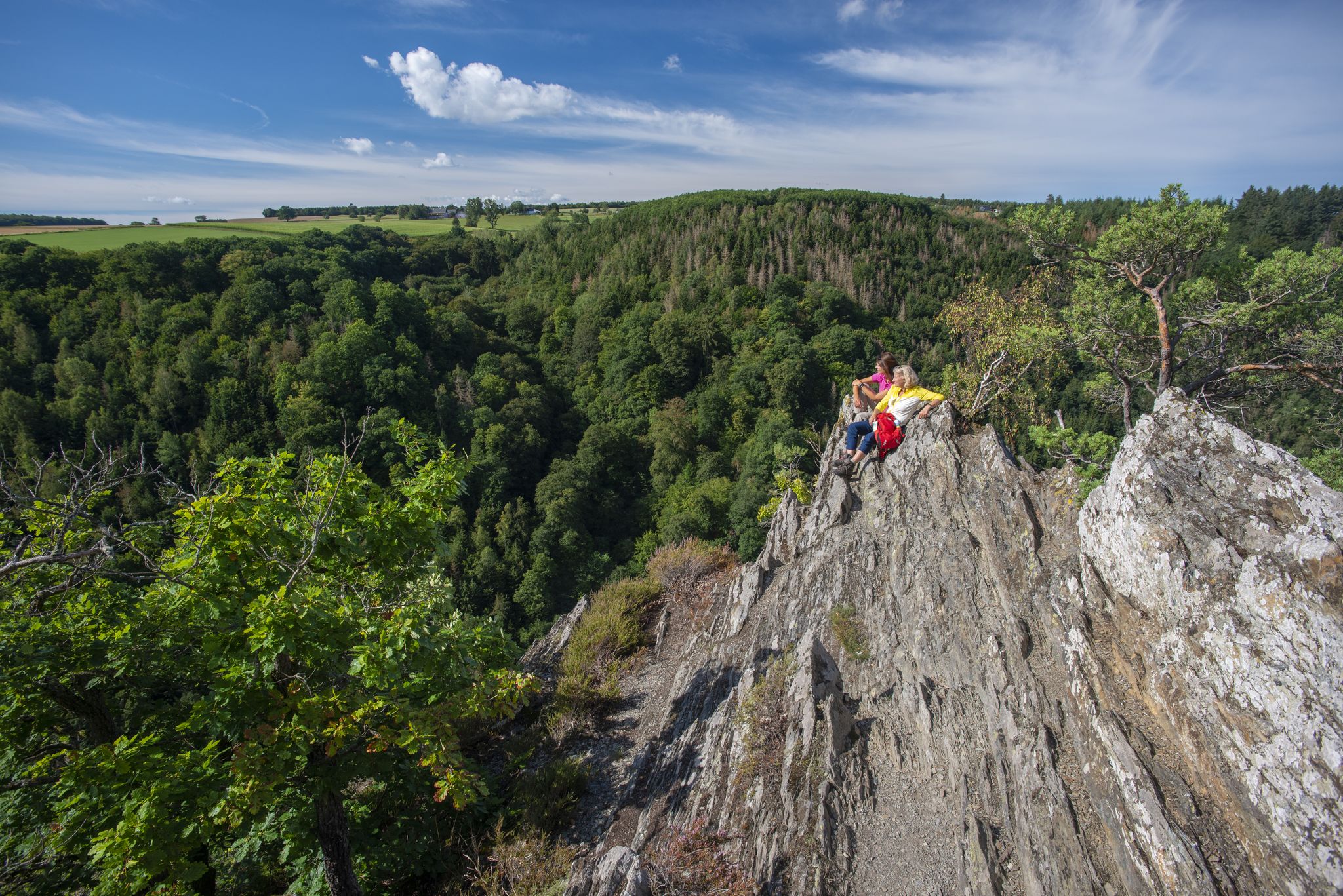
Dream Loops with great views in the Hunsrück
モーゼル渓谷でのの他の冒険


コミュニティからのヒント

🥾🥾⛰️The Calmont is a steep vineyard with a 65 degree incline↗️ & a height of 378 meters↕️. The Calmont via ferrata🥾🥾🪜 leads through the vineyard, impassable rocky sections are overcome with climbing aids. The hike on the Calmont high trail with the Calmont summit cross and “Vierseenblick” offers fantastic views🎨🖌. Difficult passages are equipped with rock steps, rope safety devices, steel ladders, iron brackets and footholds. 🧭The Calmont region is located on the Terraced Moselle, just under 20 kilometers from Cochem. Thanks to the German Alpine Association and many volunteers from the surrounding communities of Bremm, Ediger-Eller and Neef. Because they all made sure that the mountain was accessible in the first place🥾🥾🎒.
8
0

From this vantage point you have one of the best valley views of the Moselle loop.
76
0
The Calmont via ferrata is more of a mountain trail than a via ferrata. Passages of the "via ferrata" are made safer with handrails, ladders, step bars and stepping pins. However, hikers who are not sure-footed also have the option of bypassing the short section of the "via ferrata".
71
10

It is particularly beautiful in October when the leaves change color. Shortly after 10 a.m. we walked from Eidiger-Eller, first over the Todesangst and the Höhenweg, so we were above the Moselle loop at the right time. There is a rest area with a bench, from where we could watch how the fog revealed the colorful landscape.
13
0

Beautiful hiking tour with a view of the Moselle loop. 😍
13
0

You can also enjoy the view without hiking up. Drive up with the car. Drive quite far, then comes a gravel road, this approx. 2km comes a parking lot for hikers. From there it is not far to the summit cross and Vierseenblick. Together about 2km. Above are great wide hiking trails. Well suited for beginners. Then down to Bremm where the second vantage point is easily accessible on foot. So everyone has something.
14
0

Shortly after the death of Kaiser Wilhelm I, the idea arose to erect a memorial to the Kaiser, who had brought about the complete unification of Germany after three wars. Three years later, in 1891, Kaiser Wilhelm II, the grandson of the deceased, chose the Deutsches Eck in Koblenz as a suitable location. In order to create space for the memorial, a port of refuge was filled in, which at that time was located at the mouth of the Moselle. The Deutsches Eck in its present form was created. On August 31, 1897, the copper-engraved monument to Kaiser Wilhelm I was inaugurated in the presence of Kaiser Wilhelm II.
21
0

The Deutsches Eck is the landmark of the city of Koblenz and a major attraction for tourists.
33
0

komootモバイルアプリでインスピレーションを得よう


さらに探索
これらのガイドで、最高の洞窟を探す範囲を広げましょうモーゼル渓谷での:
