次の冒険でモーゼル渓谷の洞窟を訪れてみませんか?素敵なアウトドア体験の計画をお手伝いできるよう、モーゼル渓谷にある 20
の素晴らしい洞窟をまとめました。他のユーザーの体験に基づいた情報なので、どれも信頼できるおすすめのガイドです。次の冒険を計画する際の参考にしましょう。
最終更新日: 5月 26, 2026
ハイライト • 洞窟
翻訳者 Google •
役立つ情報 は
ハイライト • 洞窟
翻訳者 Google •
役立つ情報 は
今すぐサインアップして、こんな場所を発見しよう
最高のシングルトラック、ピーク、その他のエキサイティングなアウトドアスポットのおすすめを受け取ろう。
無料新規登録
ハイライト • 洞窟
翻訳者 Google •
役立つ情報 は
ハイライト • 歴史的な場所
翻訳者 Google •
役立つ情報 は
ハイライト • 洞窟
翻訳者 Google •
役立つ情報 は
無料でサインアップして、さらに多くの洞窟を発見しましょう モーゼル渓谷での。
無料新規登録
すでにアカウントをお持ちですか?
無料アカウントで今日から始めよう
次の冒険が待っています。
ログインまたは登録
モーゼル渓谷周辺で人気
モゼル川サイクリングルート — ヴォージュからラインまで18ステージ

ドイツのザール=フンスルッククライムでハイキングをして、文化と自然が出会う場所に行きましょう
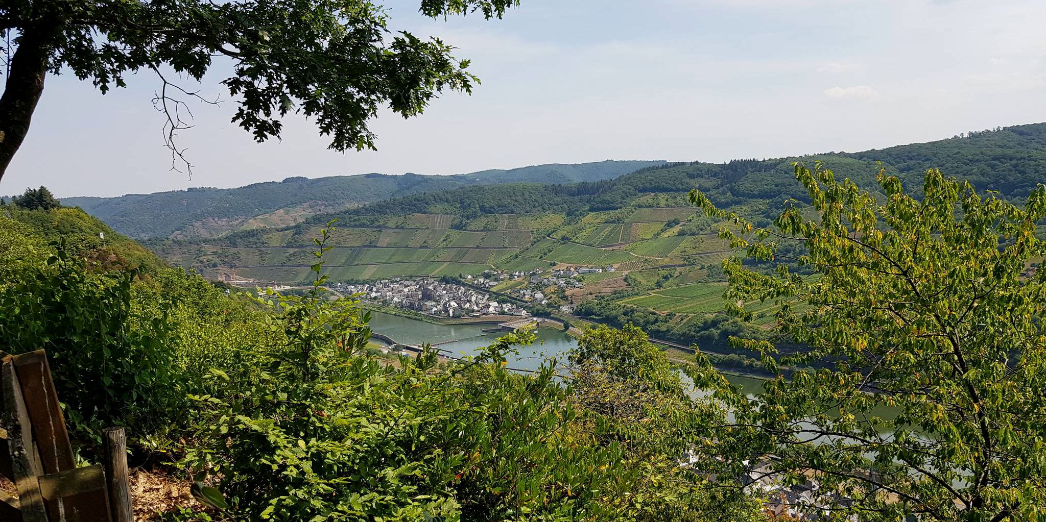
トリールからコブレンツへ — モーゼルクロスを通ります
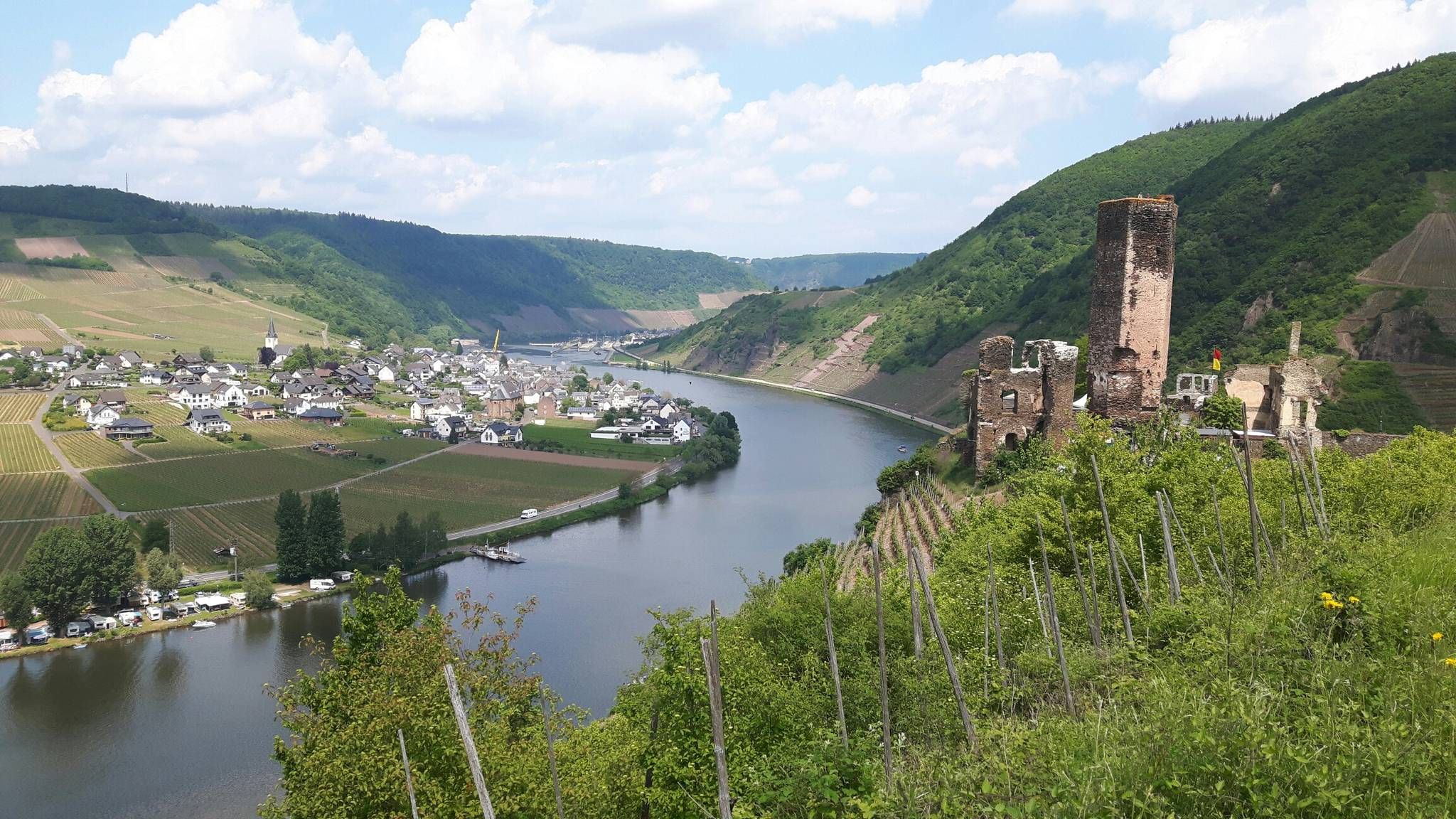
モーゼルシュタイグトレイル - 日光のモーゼル谷沿いの24ステージ
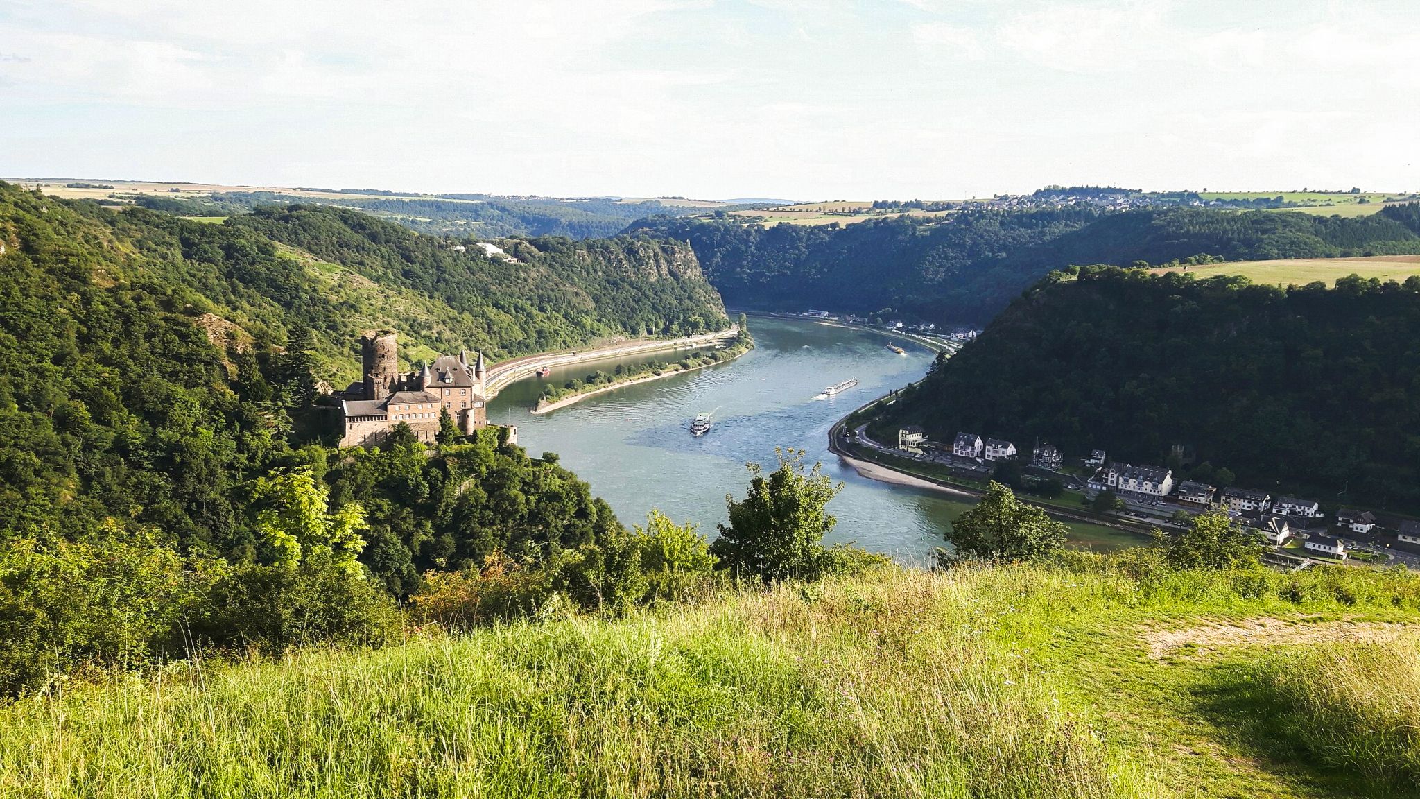
ラインシュタイグ・トレイルの21ステージ – ライン川沿いに
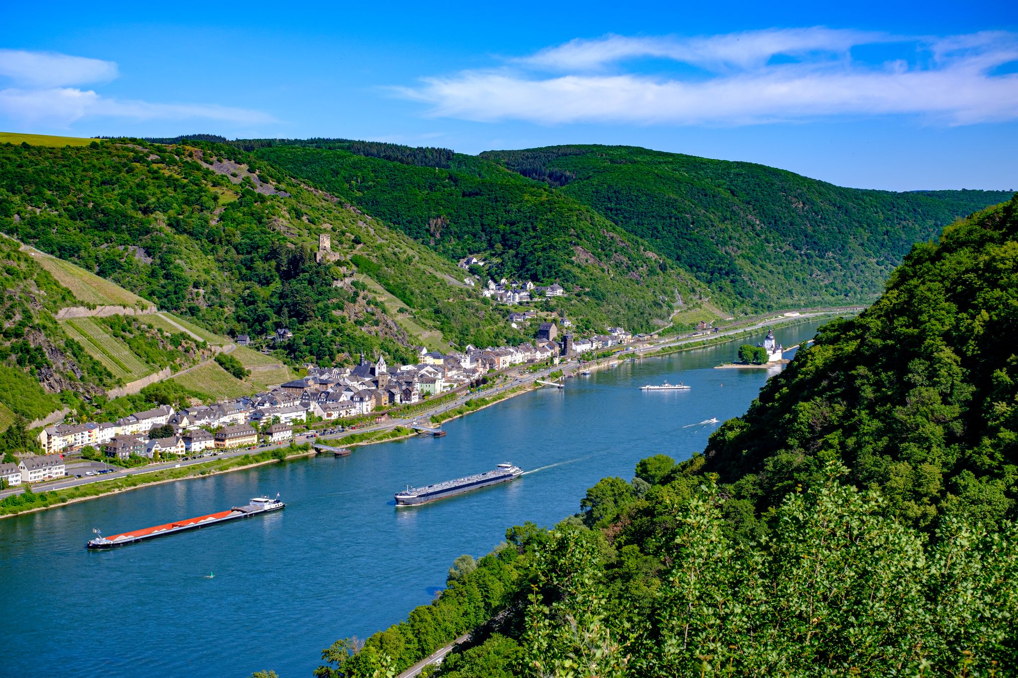
ライン城塞トレイル – 13ステージの純粋なラインロマンチシズム

ライン自転車道は源流から北海まで
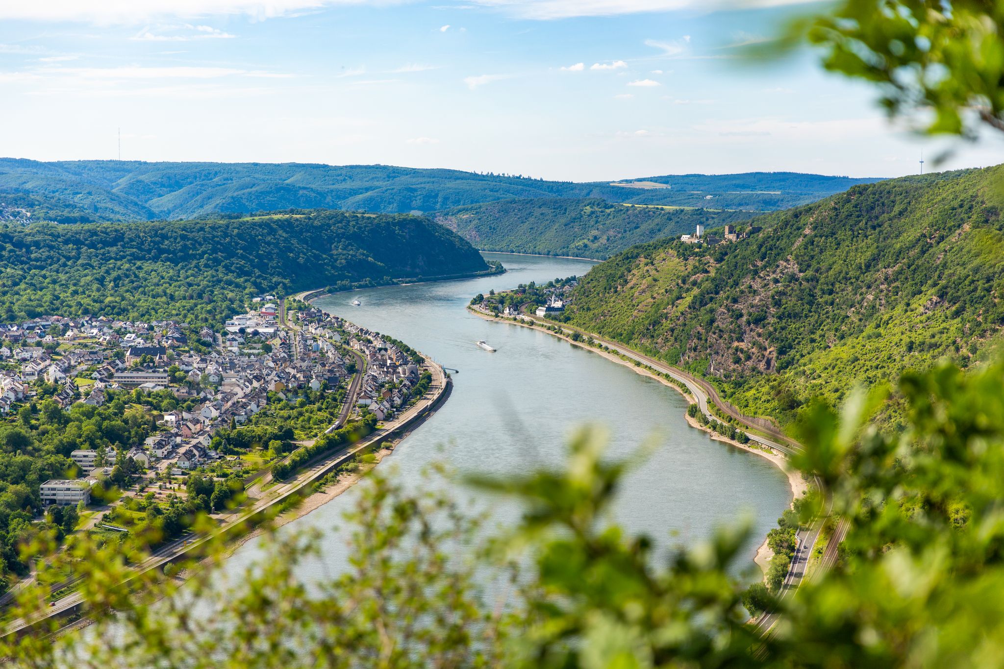
Dream Trails in the Rhine-Mosel-Eifel Region – Small Trails, Great Nature
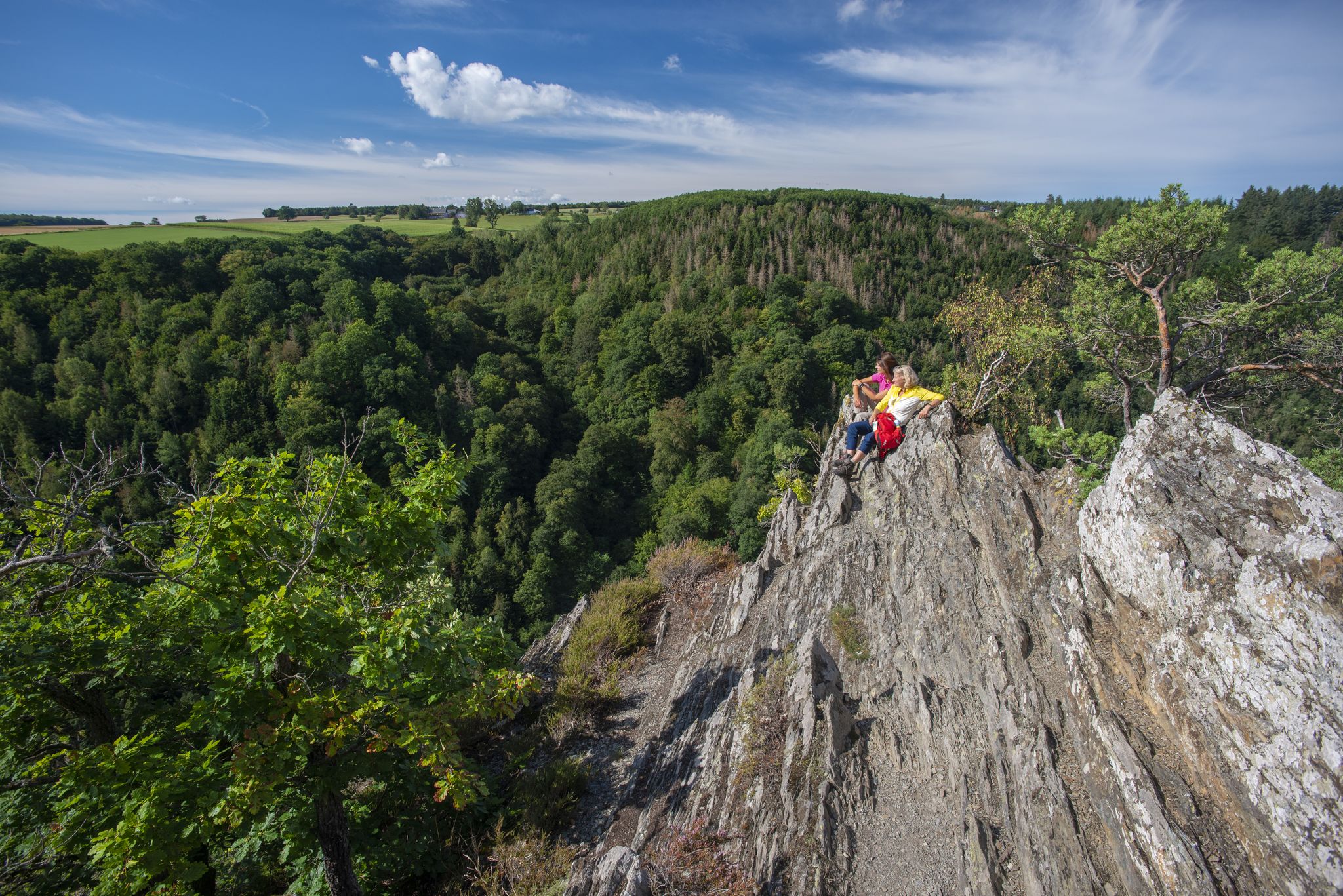
Dream Loops with great views in the Hunsrück
Stunningly beautiful – hiking on the RheinBurgenWeg
The ruins of Mont Royal fortress lie above Traben-Trarbach on a bend in the Moselle River and were built at the end of the 17th century by order of the French Sun King, Louis XIV. The complex covered an area of 50 hectares and offered space for up to 12,000 soldiers and 3,000 horses. It was intended to serve as a supply base for the French Rhine Army and to control the central Rhineland. Only eleven years after construction began, following the Peace of Rijswijk in 1697, the French destroyed the fortress themselves in 1698 to avoid surrendering it to their opponents. Today, only a few remains of the once mighty fortress are visible. These include sections of the walls, casemates, cellar vaults, and defensive ditches. A large part of the ruins is overgrown by forest.
1
0
All that remains of the barracks, i.e. the accommodation buildings, are numerous vaulted cellars, which have collapsed in many places, creating a huge crater field.
0
1
The mine path begins with Jupp, the miner carved out of wood, who is a symbol of the miners from Morshausen who mined ore in the lower Theresia mine from 1859 to 1886. The ores were brought to St. Goarshausen-Fellen for smelting. From the Theresia ore mine, the mouth hole of the lowest tunnel at Baybach level near the colliery house, which was built in 1860 for 12 miners and miners, has been preserved and one at the spoil heap level. The various tunnels extended from 250 meters to 20 meters into the mountain and were 10 to 15 meters wide.
1
0
Theresia ore mine From 1859 to 1886, lead, silver, copper and zinc ore were mined from the spoil dump of the lower tunnel sole of the former "Erzgrube Theresia" and transported to St.Goar-Fellen for smelting. The upper tunnel sole reached about 20m into the mountain, the deep tunnel bottom, from the Baybachtal, approx. 250 m. The passages in the mountain followed the ore veins and were in places 10 to 15 meters wide. Because of "impossibility" and inefficiency, the operators stopped mining ore after only 27 years During the Second World War, many Morshausen citizens sought protection in the abandoned tunnels from the artillery fire of the advancing American troops Murscher ores and their origin Around 400 million years ago, the rocks were sediment from the seabed. The layers of different materials (sand and clay) deposited and solidified over millions of years. During the mountain formation 400-200 million years ago, the solid layers were folded into a mountain range by the continental shifts. This folding resulted in deep cracks and cavities. Hot, highly mineralized water made its way up along this path, and over time various minerals crystallized from the water and filled the cavities. The minerals include iron, zinc and lead ores, which were mined as ore veins in the period from 1859 to 1886. Source: Text information board
2
0
Die Bekanntmachung aus dem Jahr 1855 vom Altdeutschen übersetzt Bekanntmachung eines Konzessionsgesuches des Anton Hammes, Müller zu Gastenmühle, Johann Peter Schmidt, Ackerer zu Morshausen und Anton Karl Gustav Wilberth, Bürgermeisterreisekretär zu Brodenbach zum Bergbau auf Blei, Silber, Kupfer und Zinkerze im Felde Theresia. Bekanntmachung eines Konzessionsgesuches des Anton Hammes, Müller zu Gastenmühle, Johann Peter Schmidt, Ackerer zu Morshausen und Anton Karl Gustav Wilberth, Bürgermeisterreisekretär zu Brodenbach haben durch ein Gesuch vom 20. November 1854, welches später vervollständigt worden ist , bei uns um die Konzession zum Bergbau auf Blei, Silber, Kupfer und Zinkerze in einem Felde nachgesucht, welches von ihnen Theresia benannt worden ist, und welches nach den beigefügten Rissen genau den Bann der Gemeinde Morshausen, in der Bürgermeisterei Obergondershausen, im Kreise St. Goar und Regierungsbezirk Koblenz mit einem Flächeninhalt von 1.068.601 Quadrat-Lachtern oder 2998 Morgen, 4 Ruthen, 75 Fuß umfaßt. Die Konzessionsbewerber erbieten sich, den Art. 6 und 42 des Bergwerksgesetzes vom 21 April 1810 gemäß, den Oberflächeneigentümern des Konzessionsfeldes eine Grundentschädigung von einem Pfg. pro Morgen zu zahlen und außerdem den Schaden, welcher durch den Betrieb der Oberfläche etwa erwachsen wird, nach den gesetzlichen Bestimmungen zu vergüten. Wir bringen dieses Konzessionsgesuch im Auftrag des Königlichen Rheinischen Oberbergamtes zu Bonn und nach Vorschrift der Art. 21 und 24 des Bergwerkgesetzes durch viermonatlichen Anschlag und Verkündigung zu Koblenz, Saarbrücken, St. Goar, Morshausen und Brodenbach, sowie durch Verkünden in den öffentlichen Anzeiger zum Amtsblatt der königlichen Regierung zu Koblenz zur öffentlichen Kenntnis und ersuchen alle diejenigen, welche etwa Einsprüche gegen dasselbe vorzubringen haben, dieses innerhalb der Verkündigungsfrist bei uns anzumelden. Saarbrücken, den 9. Februar 1855 Königl. Preuß. Bergamt. Quelle: Text Infotafel
2
0
House on the Bröhl The mine house of the "Erzgrube Theresia" built around 1860 served as the regional administrative headquarters, as a team room for up to 12 miners, and as a residence for the miner. After the end of the mining operation, the owners changed several times and in more recent times the building has been empty for many years and has been asleep. The story began with the hope of rich discovery. The announcement shows who the initiators were, - what plans they had and what legal provisions they had to follow. Source: Text information board
2
0
At the tunnel entrances in the split huts (some of the ruins are still there today), the slate blocks were split into thin slates (layers). The material that cannot be used as roofing slate (“deaf rock”, in some cases over 90% of the extracted material) was deposited in heaps in front of the tunnels and thus allows conclusions to be drawn about the size of the tunnels. In the last months of the war, the slate tunnels served the population as protection from air raids. Today the tunnels are closed with grids because of the danger of collapse, but bats provide welcome protection for wintering. The spoil heaps are an ideal habitat for heat-loving species such as snakes and lizards.
5
0
After the Prussian government had banned traditional straw roofing in the 19th century because of the high risk of fire, roofing slate gained economic importance on the Strimmiger-Berg. The municipalities granted mining permits to individual operators, who in turn employed farmers as day laborers and thus enabled many men to earn additional income until the early 20th century. Horizontal tunnels were manually driven into the mountain in order to break slate blocks and to bring them to the surface with the help of carts. The tools that were available for this were only hammers, chisels and saws, the only light source in the tunnels was carbite lamps. It was therefore a very laborious and very dangerous job, to which there was no alternative for many large families.
5
0


最高の洞窟を探す範囲を広げるために、これらのガイドをチェックしましょうモーゼル渓谷での: