フランコニアンスイスの峠・トップ5
風景を楽しんだり、上りや下りを満喫したり、峠には楽しみ方がたくさんあります。フランコニアンスイスの素晴らしい峠の一覧を参照して、思い出に残るアドベンチャーに出かけましょう。コミュニティのメンバーがコミュニティのために投稿した峠のハイライトは、他のユーザーが実際におすすめする情報なので、どれも信頼できるものです。気に入った峠にさっそく向かってみましょう。
最終更新日: 8月 30, 2026
Rödlaserベルク
ハイライト (セグメント) • 山道
翻訳者 Google •
役立つ情報 は

マルロフシュタイナー・ヘーエからの眺め
ハイライト • 展望台
翻訳者 Google •
役立つ情報 は

今すぐサインアップして、こんな場所を発見しよう
最高のシングルトラック、ピーク、その他のエキサイティングなアウトドアスポットのおすすめを受け取ろう。
無料新規登録
Col de Kleetzhöfe
ハイライト • 山道
From the south from …
翻訳者 Google •
役立つ情報 は

プリュルスビルキッヒ峠
ハイライト (セグメント) • 山道
翻訳者 Google •
役立つ情報 は

無料アカウントで今日から始めよう
次の冒険が待っています。
ログインまたは登録
フランコニアンスイス周辺で人気
ウルトラトレイルフレンキシェシュヴァイツ – 2 日城、森林、トレイル
自転車でドイツの田舎を探索 - ニューレンバーグからエルフルトまで
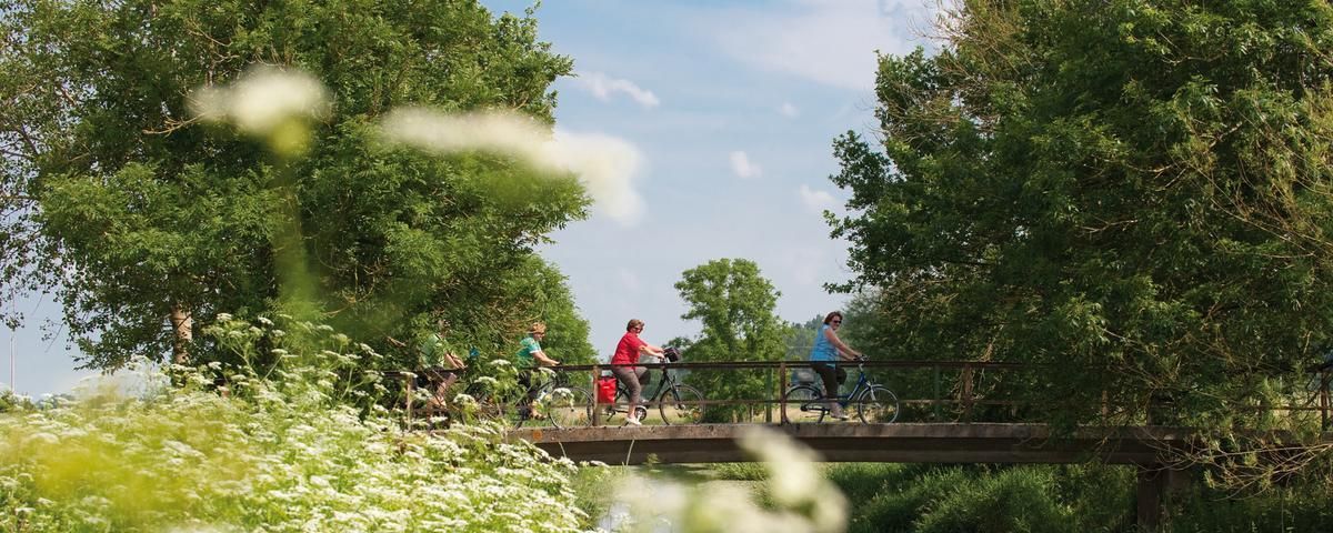
The most beautiful long-distance cycle paths in Franconia
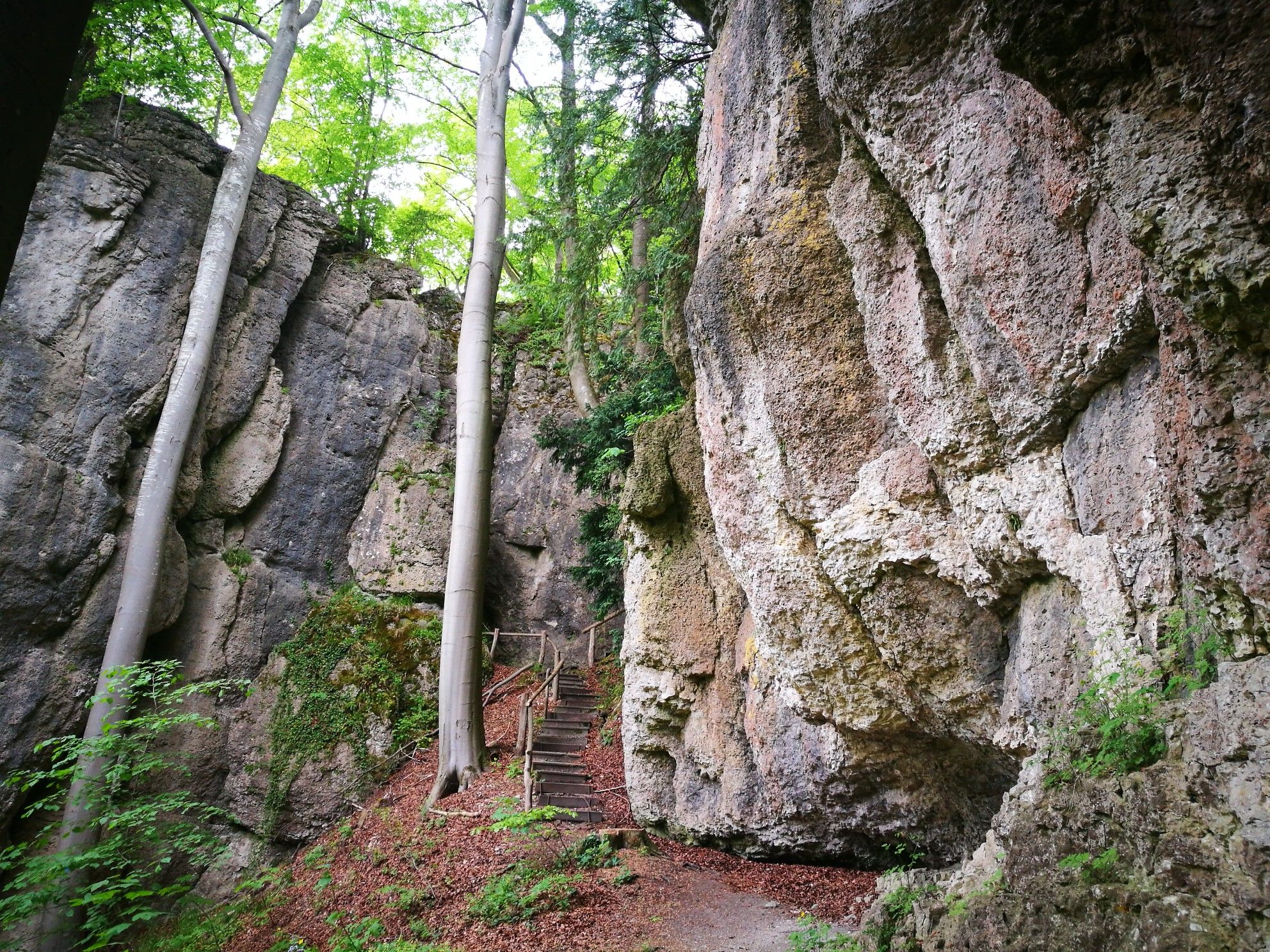
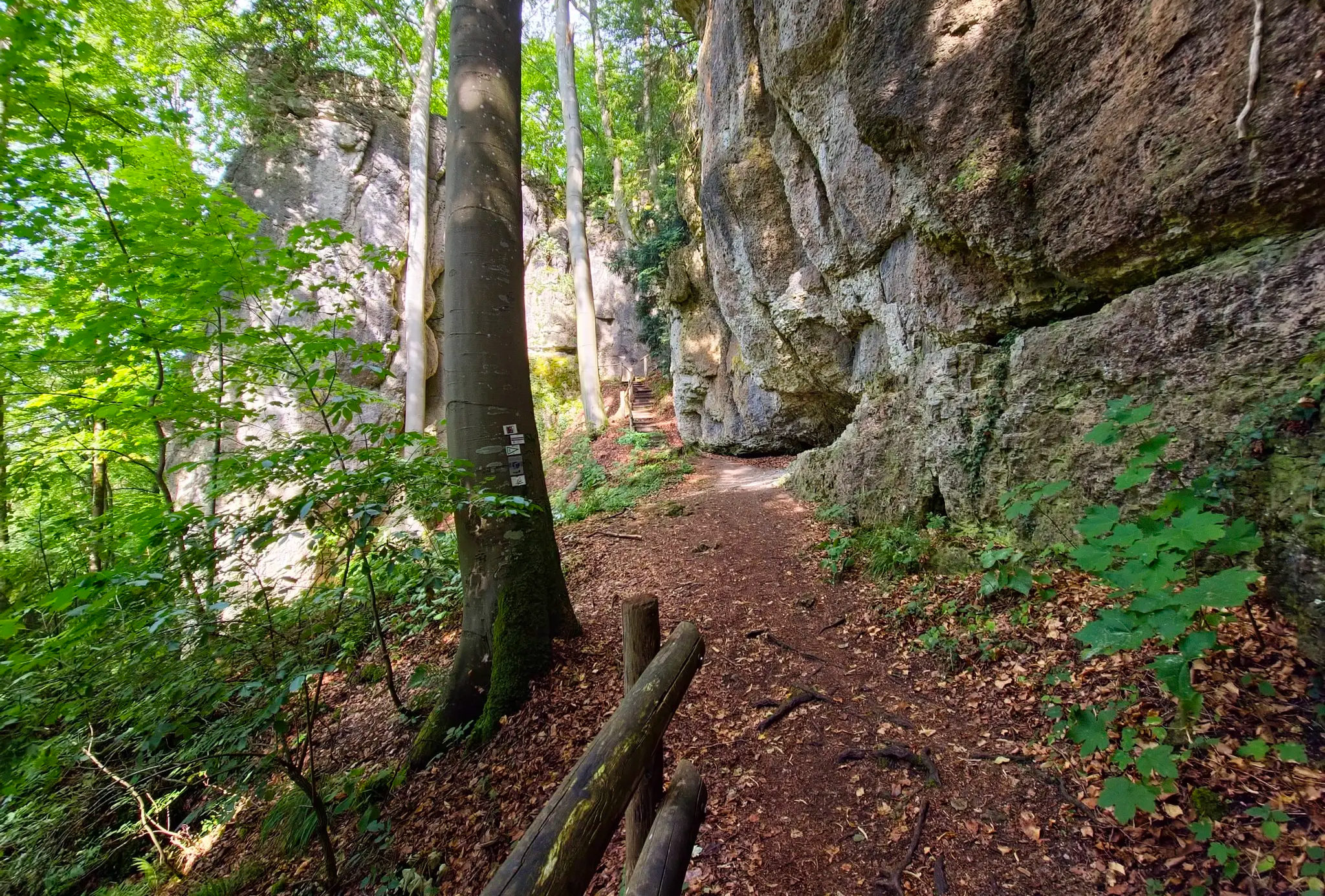
森、岩、城 – フランクン・シュワイツの5日間ルート
Discover Germany's diversity on enchanting cycling routes

バイエルンのナショナルパーク
From the metropolis to enjoyment – city hiking on the VGN
Fun hiking and wonderful views in Franconian Switzerland
ドイツを遍歴する10か所の素晴らしいハイキング
Transbavaria - バワリアの北から南へ
フランコニアンスイスでのの他の冒険


コミュニティからのヒント

The Rödlaser can be ridden from 2 sides. On one side, steep ramps of up to 15% are characteristic, on the other side it is a steady but steep climb. Description applies mainly to the steady climb. Length: Without the hill, about 1.1 km long. Gradient: Very even between 8% - 10% Average: 9% The other side has ramps of up to 15% and has a more undulating profile. Asphalt: Very good on both sides. Descent: Both sides are very easy to ride. Up to 80 km/h Traffic: moderate, sometimes heavier depending on the time of day. 10% always hurts, have fun struggling up.
5
0


Like Mont Ventoux in Provence, the 550-meter-high Col de Kleetzhöfe can be approached from three sides. 😉The climbs could be categorized as easy, moderate, and difficult: From the south from Tannfeld at 5%, from the north from Thurnau at 8%, and from the east from Felkendorf at a whopping 18%! The mostly fairly empty roads make the climbs a joy. The hamlet of Kleetzhöfe lies on a high plateau at the intersection of the Franconian Switzerland and the Upper Main Hills and is the highest point between Thurnau in the north and Pilgerndorf in the south.
5
0

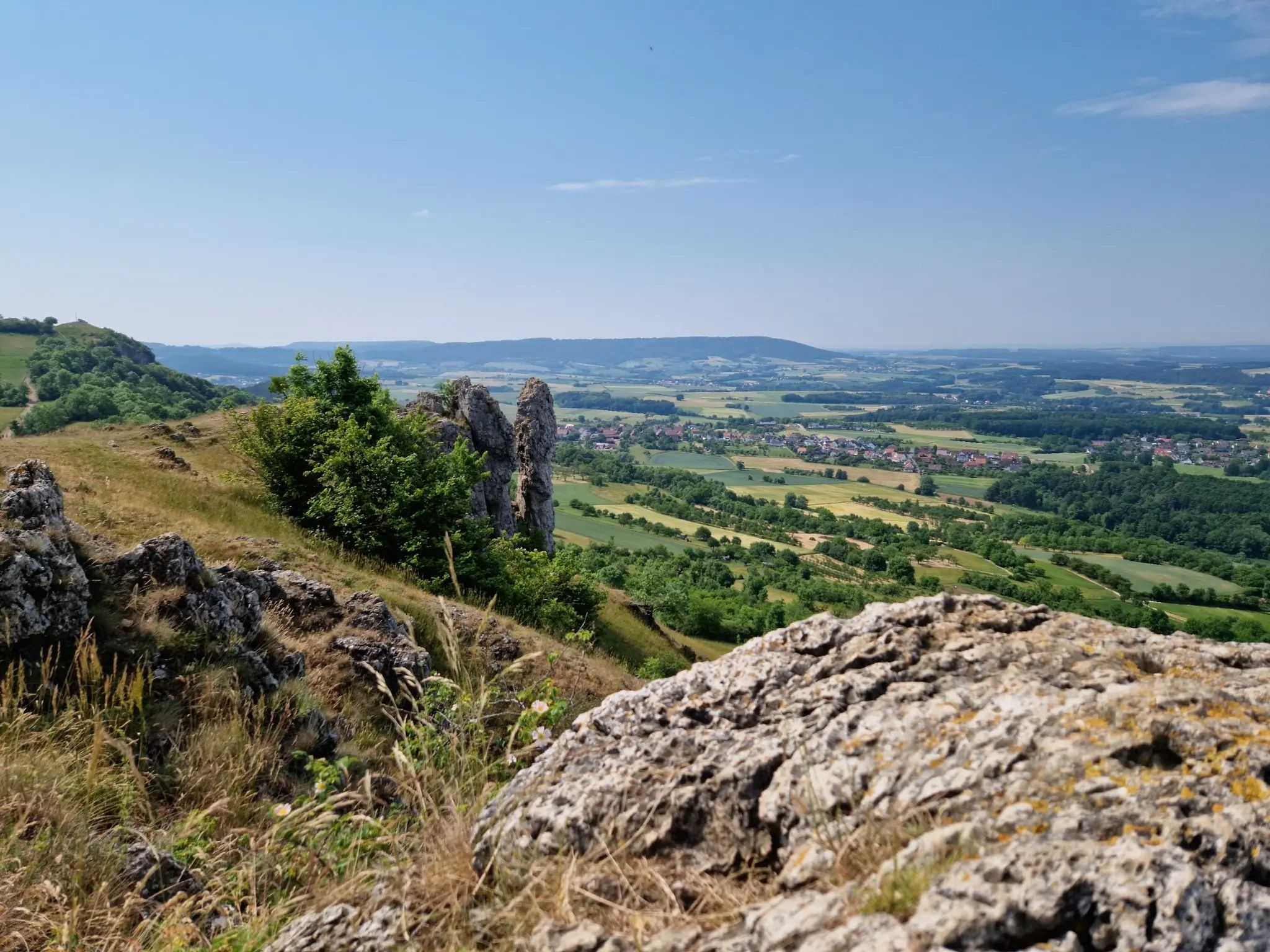
From here you have a wonderful view of the beautiful landscape.
4
0

The ascent from the east is tough - the ascent begins in the village and then becomes more and more challenging. You have to work really hard to get to the top. Relatively little traffic makes driving pleasant. The descent is always a reward. Maybe not intended for beginners but definitely worth the ride
10
0


A look all around in all directions: amazing width; here a lot of hiking trails come together, you can decide how to continue. Great!
5
0

There is a hiking car park as a starting point for a wide variety of tours.
4
0
フランコニアンスイスでのの人気ルート

komootモバイルアプリでインスピレーションを得よう


さらに探索
これらのガイドでさらに壮大な山道を見てみましょうフランコニアンスイスでの:
