中央部の島々の峠・トップ5
風景を楽しんだり、上りや下りを満喫したり、峠には楽しみ方がたくさんあります。中央部の島々の素晴らしい峠の一覧を参照して、思い出に残るアドベンチャーに出かけましょう。コミュニティのメンバーがコミュニティのために投稿した峠のハイライトは、他のユーザーが実際におすすめする情報なので、どれも信頼できるものです。気に入った峠にさっそく向かってみましょう。
最終更新日: 9月 13, 2026
Coll de la Bandereta
ハイライト • 山道
翻訳を表示中
役立つ情報 は

プエルト・デ・ラ・セラテラ
ハイライト (セグメント) • 山道
翻訳を表示中
役立つ情報 は
今すぐサインアップして、こんな場所を発見しよう
最高のシングルトラック、ピーク、その他のエキサイティングなアウトドアスポットのおすすめを受け取ろう。
ポルト・デル・コリャオ(コル・デル・ビドレ)
ハイライト • 山道
In the classic cycling stage of going up to Vistabella (a stone's throw from the sky), you always have to return to Atzeneta tasting the Vidre from behind. Fortunately, …
翻訳者 Google •
役立つ情報 は

プエルト・デ・ショドス/チョドス(アトセネタ側)
ハイライト (セグメント) • 山道
The port that goes up to Xodos/Chodos is one of the great colossi of the province of Castellón, with its more than 16 kilometers in length and almost 700 …
翻訳者 Google •
役立つ情報 は
コル・デ・ラ・バッサ(アトセネタ側)
ハイライト (セグメント) • 山道
Leaving from Atzeneta in the direction of La Pelejaneta we find the Coll de la Bassa, a tack of only 2 km that culminates in the parched pond at …
翻訳者 Google •
役立つ情報 は
ラ・サラテリャ
ハイライト • 集落
翻訳者 Google •
役立つ情報 は


中央部の島々でのの他の冒険


コミュニティからのヒント

Incredible mountain pass. It is quite easy to get to. The village is small and has a fountain.
0
0

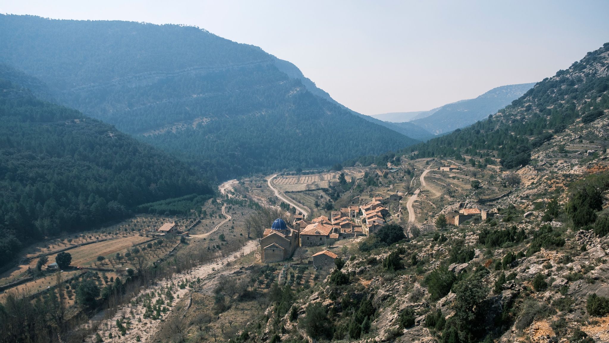
Historically, it was part of the Encomienda de Les Coves de Vinroma and with it it was the lordship of Blasco de Alagón between the years 1235 and 1242. Later, it was the Templars who were in charge of governing the town. In the archives and annotations of the town map of Albocácer it appears that originally the town was called Sierra de Biarach. During the first half of the 16th century, it took the name of Sarratella de Biarach and it was not until the last third of the same century when the place name of Sarratella was made official. The demographic indicators of the town have been growing throughout its history until it surpassed the barrier of 700 inhabitants in the first years of the 20th century. Since 1900 the population has been constantly reducing until it currently reaches 93 registered people. Its geographical location and orography seduced prehistoric groups. Very close to the hill where the hermitage is located there was an Epipalaeolithic site. Furthermore, in several areas of its territory, cave paintings have been discovered that are part of the Levantine rock art, declared a World Heritage Site. Social media Economic activities are dedicated to agriculture and livestock. Agriculture is traditionally based on dryland agriculture, with olive and almond cultivation predominating. Livestock farming is mainly based on grazing and pig and poultry farms. The scarce industry is related to agriculture and oil. Urban tour La Sarratella is a small town, which is very easy to get around. During the tour you can see the harmony that the houses maintain with each other, the tranquility of its people and the dark green of the mountainous landscape that can be seen from almost any area of the town. Despite being a small town, the places of interest that we can find are many and quite varied: The building of the old oven, with clear medieval traces. The torrent, located in the lower part of the town, whose complex is made up of a fountain, a water trough and some washing places. The town hall inaugurated in 1958 with some porches that limit the public part of the common part of the town halls of the medieval period. The hermitage of San Juan and the Church of San Miguel, where there is a front of the green velvet altar on which you can see Saint Michael embroidered fighting against the devil. Landscape The landscape is very mountainous, with large slopes that provide impressive views to the sea. Holm oaks and bushes scented with rosemary, thyme, lavender and other aromatic plants predominate. The climate is cool and pleasant in summer contrasting with the cold winter. The town is located at about 800 meters above sea level, although the highest point in the area is at 937 meters where the hermitage of San Juan Nepomuceno is located with an unbeatable panoramic view.
0
0

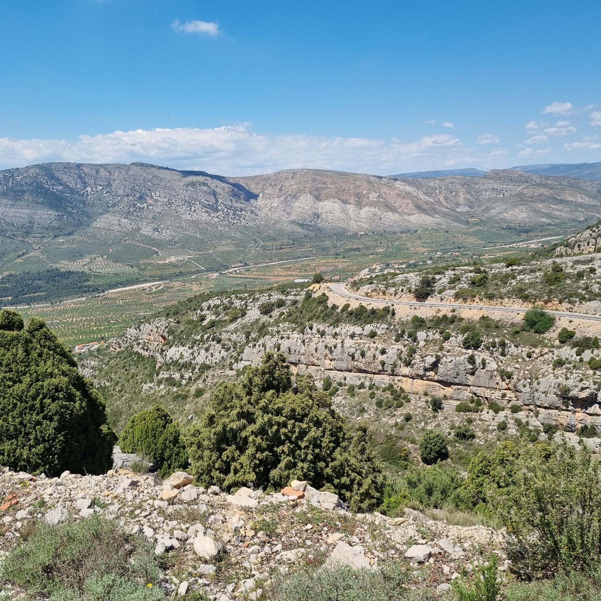
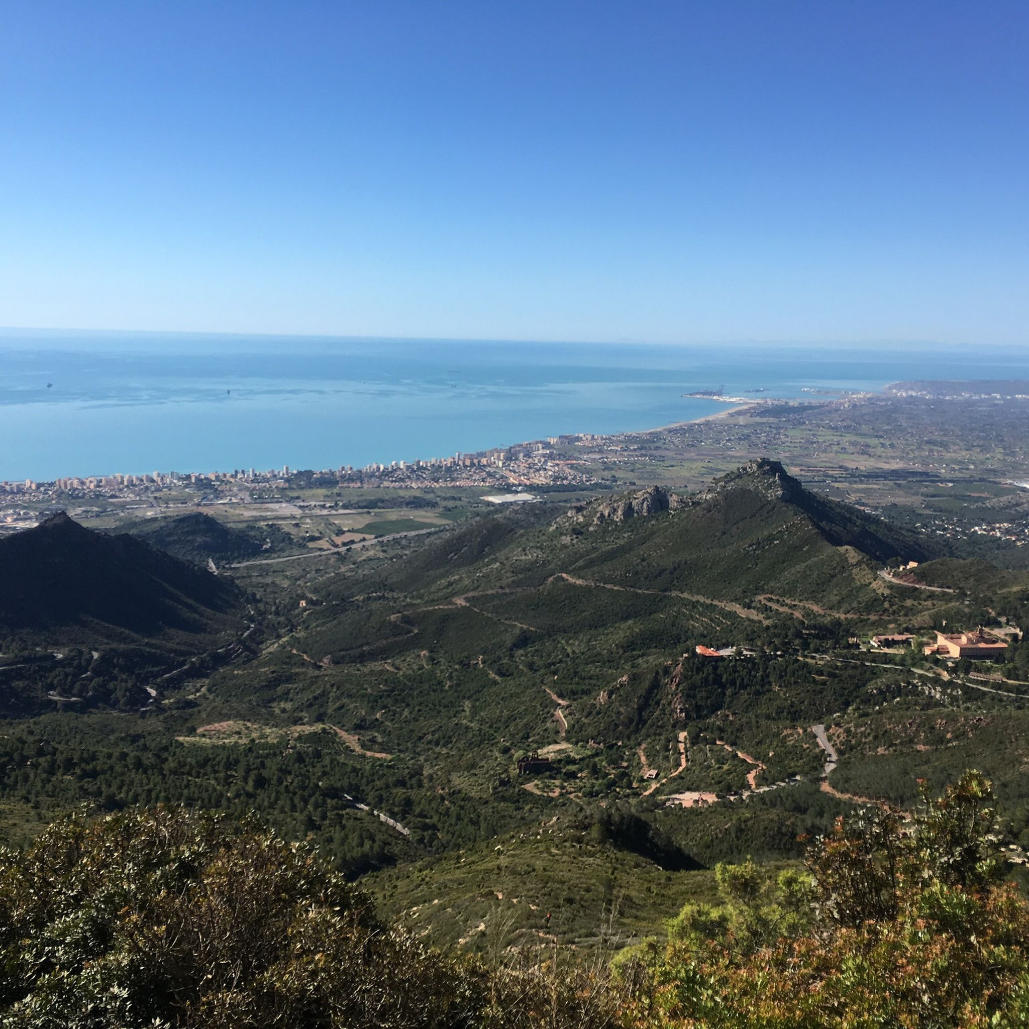
これは、大きな合併症がなく、素晴らしい景色を望む、美しく楽しい峠です。最初の部分では、緩やかな勾配から始まり、脚を「ウォームアップ」するのに非常に役立ちます。なぜなら、4キロメートル以降は少し厳しくなるからです。勾配が増え始め、10%近くの急な坂が現れ、12キロメートル地点で最初の峠を越えるまで、ヘアピンカーブが現れます。 その後、セラテラ村まで下り坂を含めて少し休憩し、最終区間はかなり緩やかで、標高844メートルの頂上に到達するだけです。その時点で、アルボカッセルに向かって下るか、左側から約500メートルのコンクリート舗装された道を通ってサン・フアン・ネポムセノの礼拝堂まで登る「小さな熱狂」をするかを選択できます。この道は勾配が20%あり、標高920メートルに達します。
1
0
短いが非常に厳しい登り坂で、その厳しさにきっと驚かされるだろう。 登りはCV-15との交差点までの最初の区間から始まり、すでにいくつかの厳しい坂がある。Rosildosの町を教会の周りを迂回して通り抜け、Mas de Cerveraへ向かう道を探す。そこからSerra Engarceránへ向かう「主要」道路に合流する。少し木々が多くなってきたエリアに到着すると、小さな休憩場所があるが、油断してはいけない。左にカーブして木々がなくなると、登りの最も厳しい区間に遭遇する。そこでは勾配が最大16%に達し、500mの区間は10%を下回らない。最後は少し楽になるが、この登りは間違いなく心地よく私たちを驚かせるだろう。
0
0

La Plana Altaにはいくつかの峠道がありますが、これは間違いなく最も絵のように美しいものの1つです。多くの方向から、道路を経由するか、砂利道のバリエーションを経由して到達できます。
4
0
One of the most picturesque ports in the Plana Alta. Very beautiful landscapes rolling on asphalt in perfect condition and practically without traffic. It is short but intense and depending on where you attack it from, the slopes will be more abrupt.
3
0
ほぼ14キロメートルの長さと540メートル強の標高差を持つこの3級峠は、厳しいですが、頂上に着けば、道中ずっと素晴らしい景色が楽しめるので、やりがいがあります。ゆっくりと楽しんでください!
6
0

中央部の島々でのの人気観光スポット

komootモバイルアプリでインスピレーションを得よう


探していたものは見つかりませんでしたか?
地域ごとに整理されたさらに素晴らしい山道を見つけましょう中央部の島々での:
