ヘット・ホーゲランドの天然記念物・トップ20
ヘット・ホーゲランドが誇る美しい風景を見てみたいなら、ヘット・ホーゲランドの素晴らしい天然記念物・トップ20
に行ってみましょう。あなたにぴったりの場所が見つかるよう、素晴らしい天然記念物を探索するために必要なすべての情報を集めました。次のアウトドアの冒険に出かける計画の参考にしましょう。
最終更新日: 10月 10, 2026
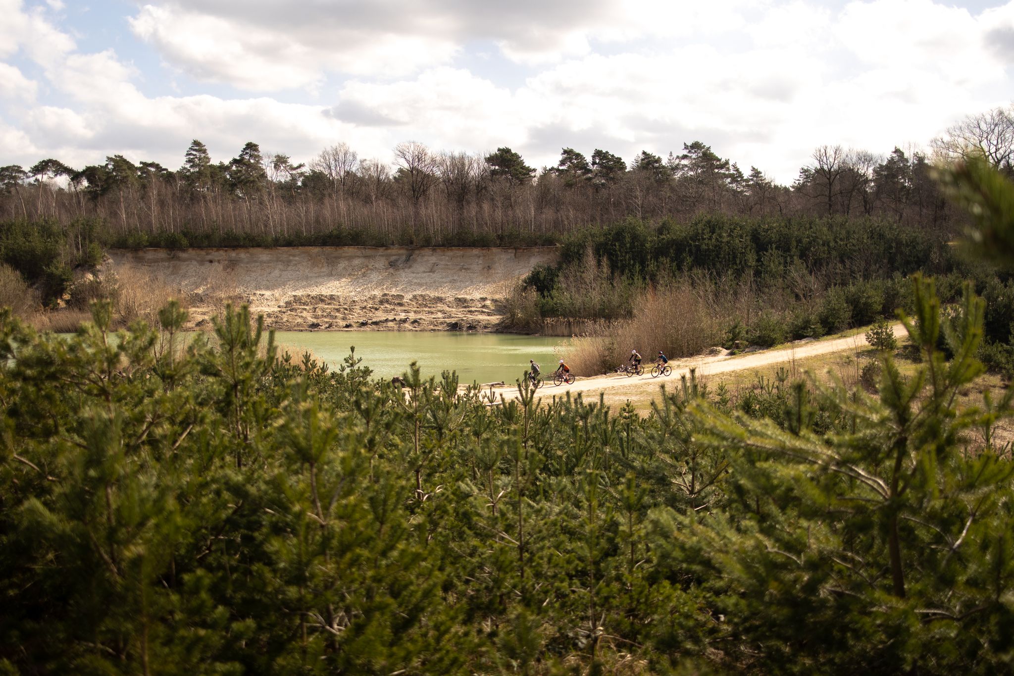
テュスケンドルゼー自然保護区
ハイライト • 湖
翻訳者 Google •
役立つ情報 は

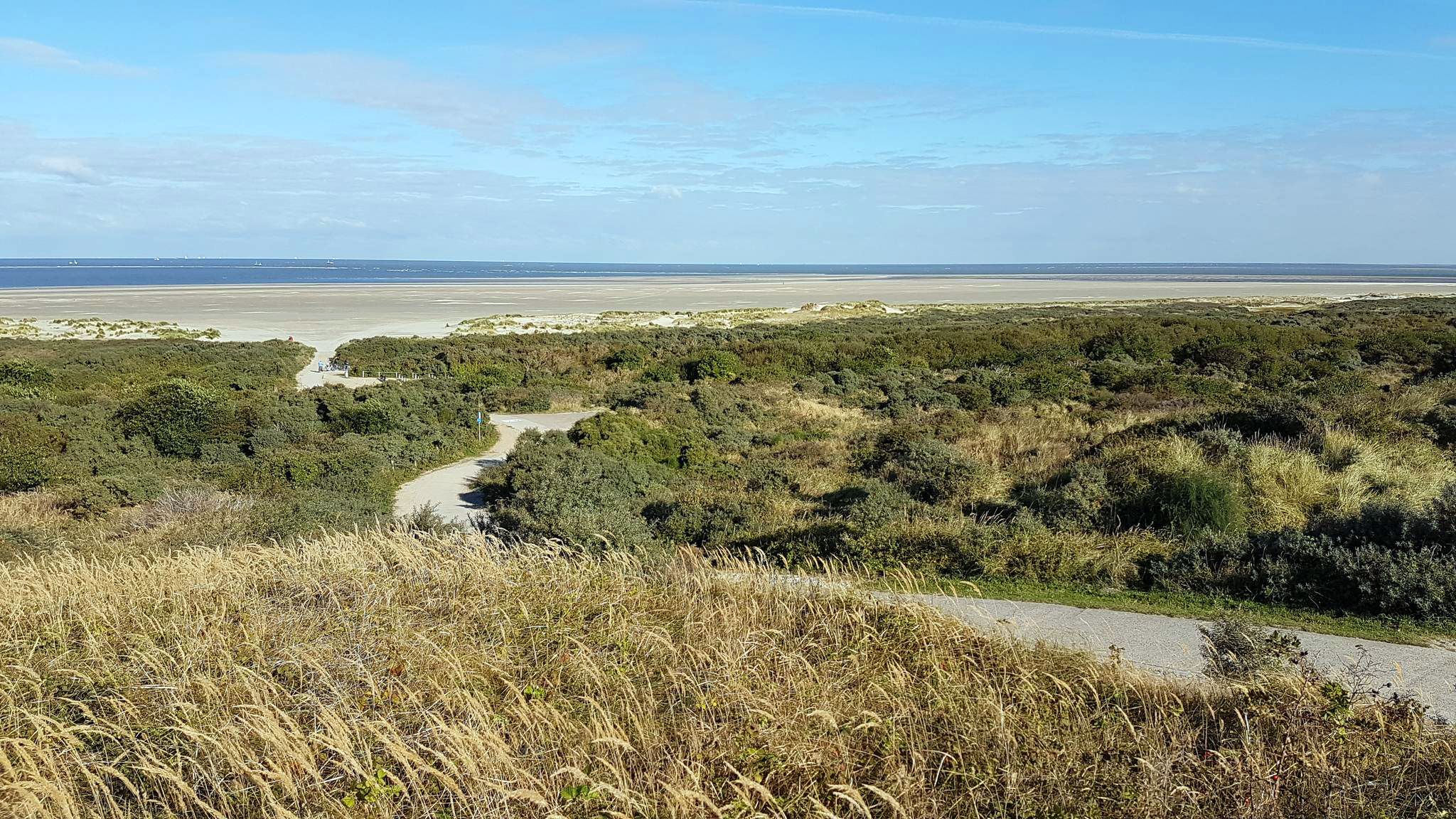
ニーダーザクセン・ワッデン海国立公園 – ウップレヴァルト干潟
ハイライト • 自然記念物
翻訳者 Google •
役立つ情報 は

今すぐサインアップして、こんな場所を発見しよう
最高のシングルトラック、ピーク、その他のエキサイティングなアウトドアスポットのおすすめを受け取ろう。
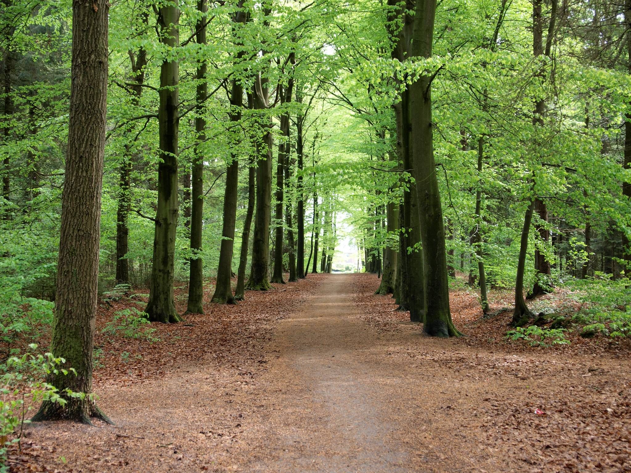
グロイネ・ステー自然保護区
ハイライト • 森
翻訳者 Google •
役立つ情報 は

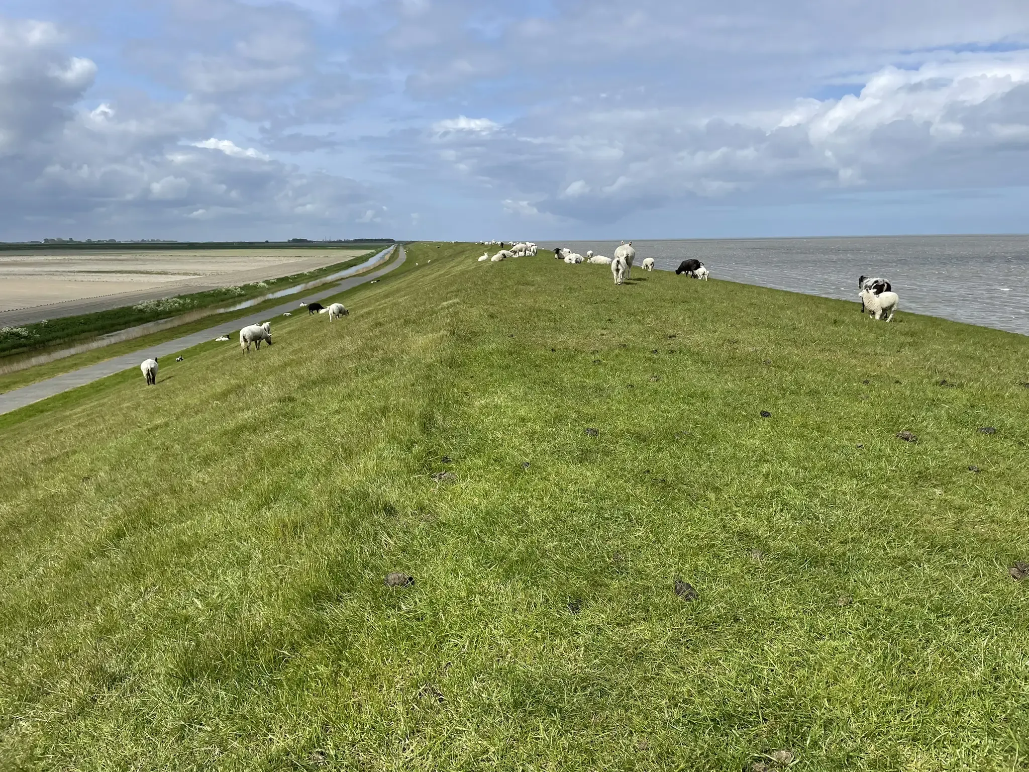
堤防からのRuhezone I/8の眺め
ハイライト • 展望台
翻訳者 Google •
役立つ情報 は

Ruhezone I/8 保護区
ハイライト • 自然
翻訳者 Google •
役立つ情報 は

無料でサインアップして、さらに多くの自然記念物を発見しましょう ヘット・ホーゲランドでの。
すでにアカウントをお持ちですか?
無料アカウントで今日から始めよう
次の冒険が待っています。
ヘット・ホーゲランド周辺で人気
グローニンゲン周辺トール - 省域350キロメートル
自転車でピーテルパット - ピーテルブーレンからサン・ピーテルスベルグまで
最高のオフロードアドベンチャー - トランスネデルランドMTBルート
北海沿岸サイクルルート — オランダとベルギー
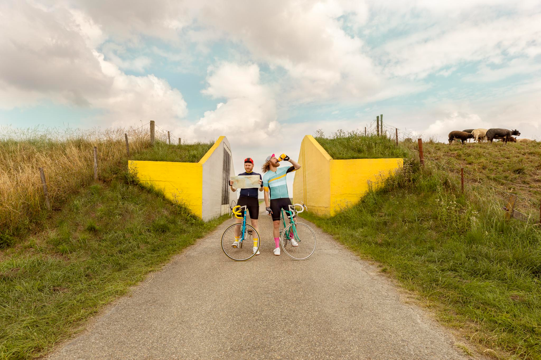
Cycling in Groningen – eight routes off the beaten track
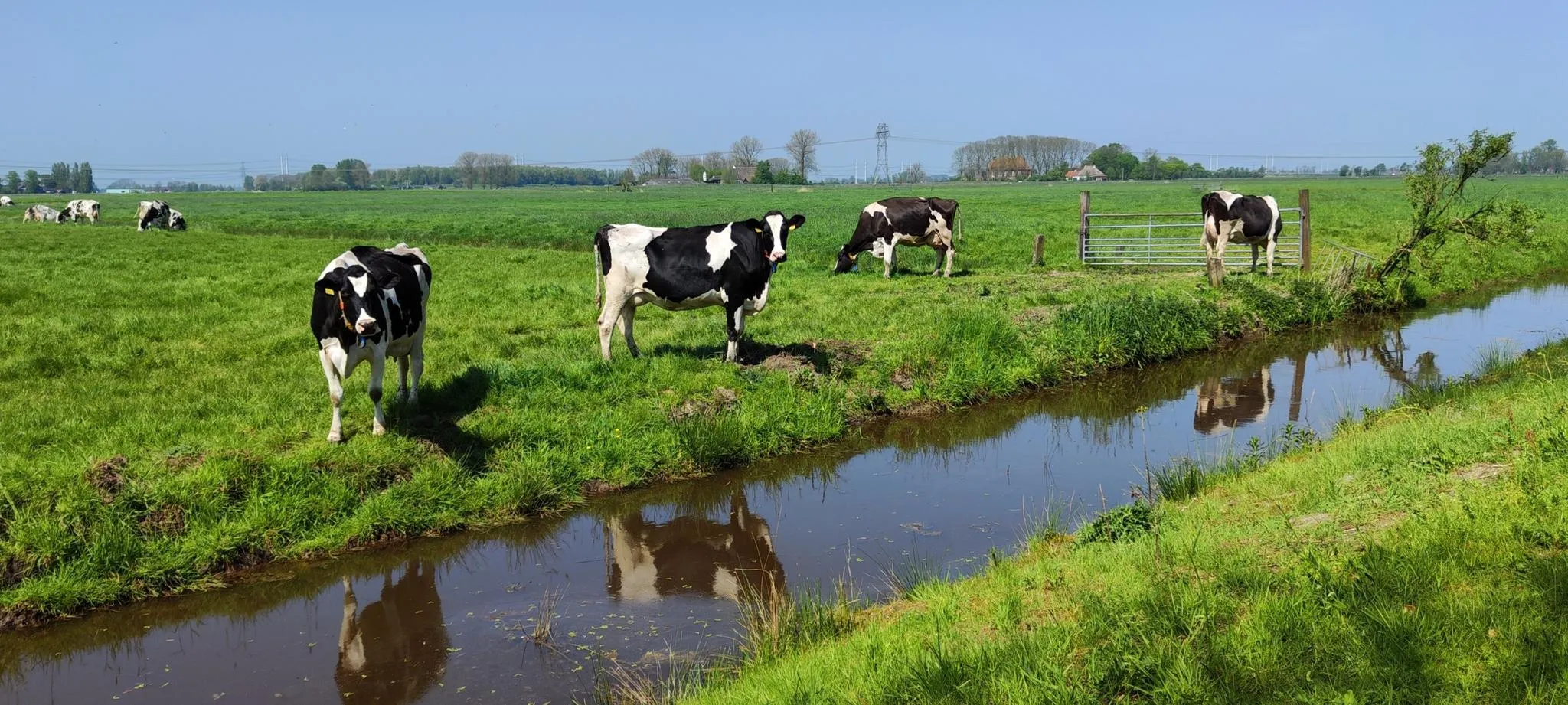
Discover the Milky Way – 9 routes alongside cows and to cheese shops
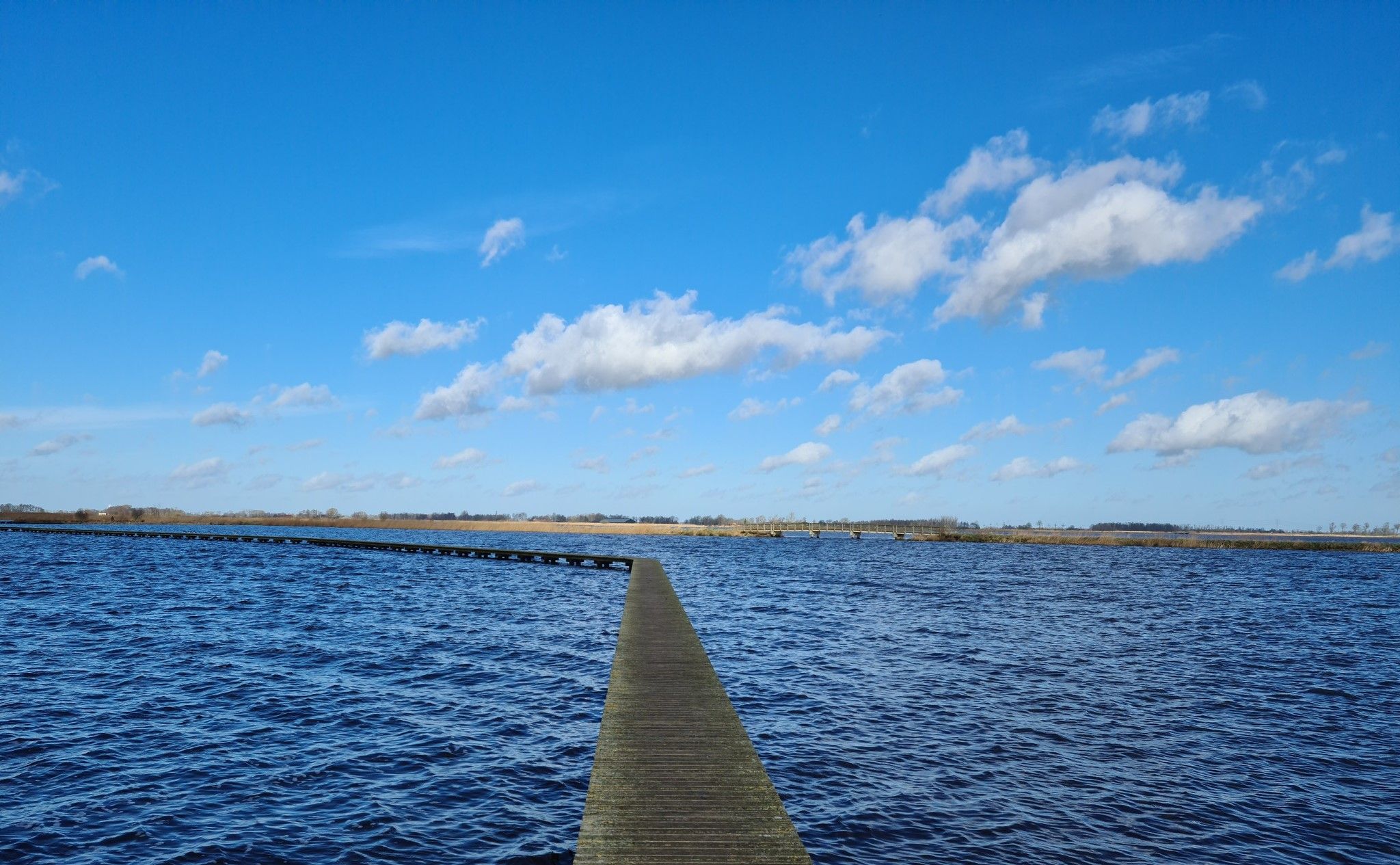
自然の中で - グロニンゲンのアクセシブルなルート20
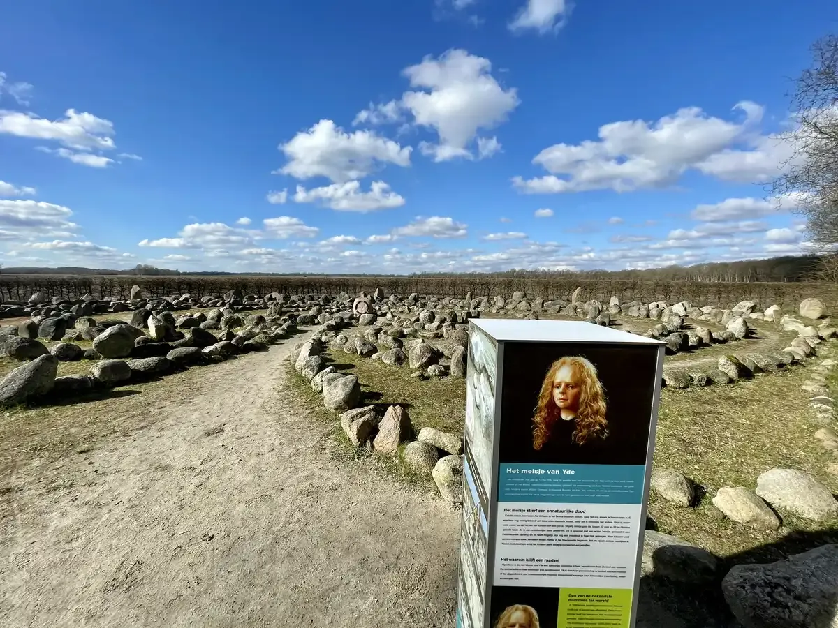
プロドダの取正がるない - 北布共和国の15一十幼地
フリジアの森のトレイル - ワデン海からオーベリッセルまでの歩き
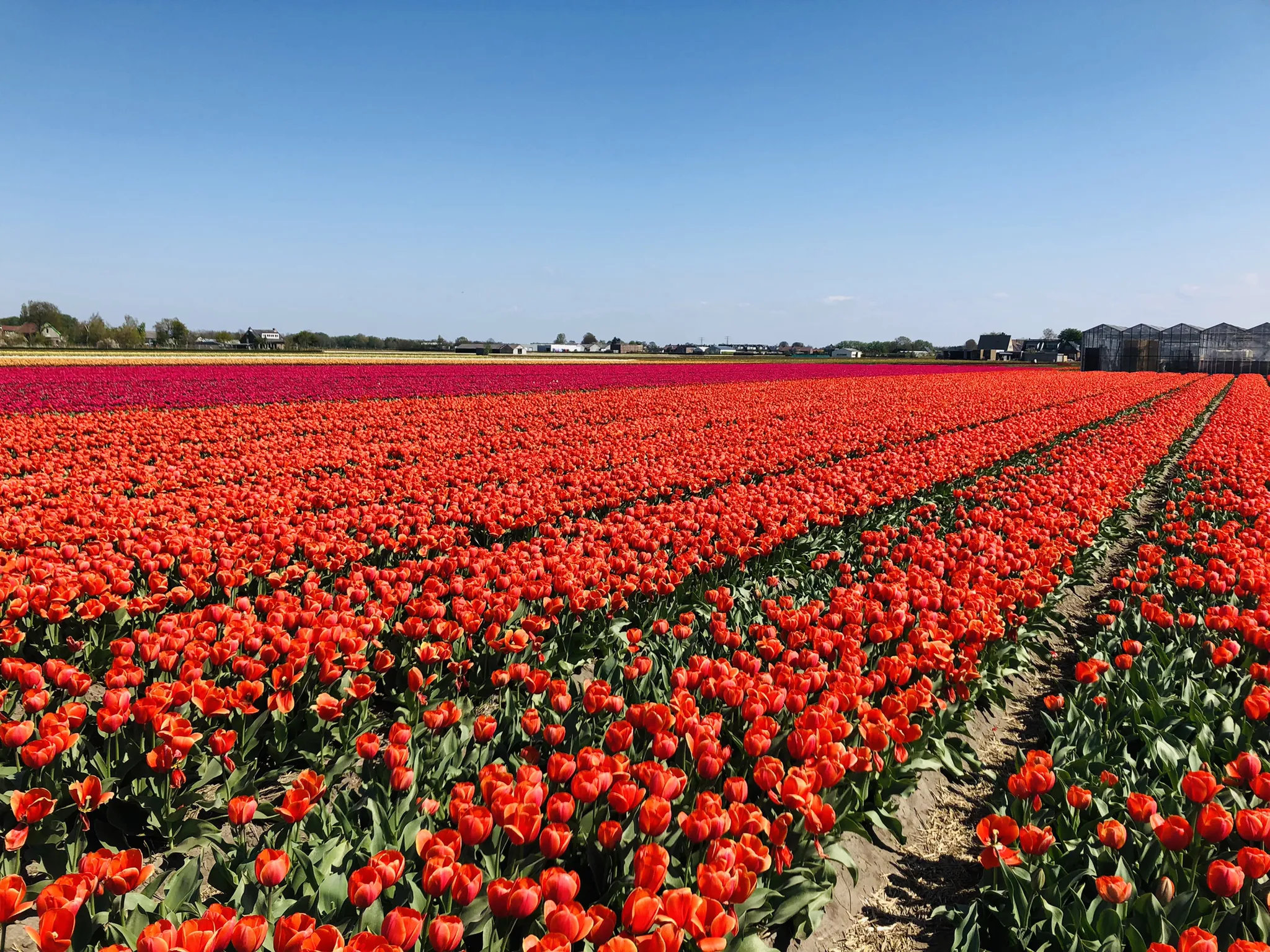
春を祝う-カラフルなオランダのチューリップ畑を歩く
ヘット・ホーゲランドでのの他の冒険


コミュニティからのヒント

Low German for "Green Place" - part of an old dune landscape on Borkum. The Greune Stee is a transitional area between dunes, forest, and heath. It is considered one of the few areas on the East Frisian Islands where natural dune forest has developed. Typical features include: • Dune landscape with partially vegetated sand dunes • Deciduous and coniferous forest (e.g., birch, pine, oak) • Heath and grassland areas • Protected habitats for numerous bird species and insects When using the area, especially the paved paths, please be mindful of the many slow walkers, some with dogs. You should slow down. Best viewpoint: Herrmannshöhe at the corner of Greune Stee Weg and Jakob van Dyken Weg.
2
0

Watt for watt. Great view
2
0

The natural landscape of Greune Stee is unique on the East Frisian Islands. It lies south of the island and is criss-crossed with numerous cycling and hiking trails. Many dunes and valleys characterize the landscape, as does the large marsh forest with its damp valleys, which in some places looks as if it were an enchanted moor. Forests are not normally native to the East Frisian Islands. It is all the more astonishing that there is a forest area of around 80 hectares on the southern part of Borkum. In the 1870s there was a depression at this point that was very wet due to groundwater. The good conditions meant that a lot of lush grass grew. For this reason, the farmers and herders called this place "Greune Stee", which means "green place".
8
1

Always infinitely beautiful 💯
2
0

The dune landscape of the island of Borkum is repeatedly interrupted by small mixed forests. The largest forest on the island is the "Greune Stee" (green spot). This is a typical stunted forest.
9
1

Great cycling and hiking trail. Here too, you need to drive carefully...don't speed. Hey mountain bikers, the super-wide handlebars on your vehicles are not designed for cycle paths. So it's better to stop when there's oncoming traffic or drive onto the grass to avoid accidents.
10
1

The tour from the campsite to the lighthouse was great. Climbing the tower is a bit difficult, there are definitely no escalators 😉😄. Unfortunately, it wasn't possible to drive from the square to Greetsiel over a dike and I didn't feel like taking the road, so I can also do it by car. That's why I canceled the tour. Well, maybe another time.
5
0

Island of my dreams, that's Borkum all alone... The island of Borkum offers something for everyone: nature, peace, sport and leisure, great gastronomy and pure relaxation.
5
0
ヘット・ホーゲランドでのの人気観光スポット

komootモバイルアプリでインスピレーションを得よう


さらに探索
これらのガイドで、最高の洞窟を探す範囲を広げましょうヘット・ホーゲランドでの:
