テルノイゼンの天然記念物・トップ20
テルノイゼンが誇る美しい風景を見てみたいなら、テルノイゼンの素晴らしい天然記念物・トップ20
に行ってみましょう。あなたにぴったりの場所が見つかるよう、素晴らしい天然記念物を探索するために必要なすべての情報を集めました。次のアウトドアの冒険に出かける計画の参考にしましょう。
最終更新日: 10月 23, 2026
ストローパースボスのスペイン防衛線
ハイライト • 歴史的な場所
翻訳者 Google •
役立つ情報 は

シント・ヤコブスポルダー自然保護区
ハイライト • 自然
翻訳者 Google •
役立つ情報 は

今すぐサインアップして、こんな場所を発見しよう
最高のシングルトラック、ピーク、その他のエキサイティングなアウトドアスポットのおすすめを受け取ろう。
フォールト・シント=ヤコブとステーツ=スパーンセ・リーニエス
ハイライト • 歴史的な場所
翻訳者 Google •
役立つ情報 は

グローテ・サレヘムゲール
ハイライト • 川
翻訳者 Google •
役立つ情報 は

オーストポルダークリーク
ハイライト • 湖
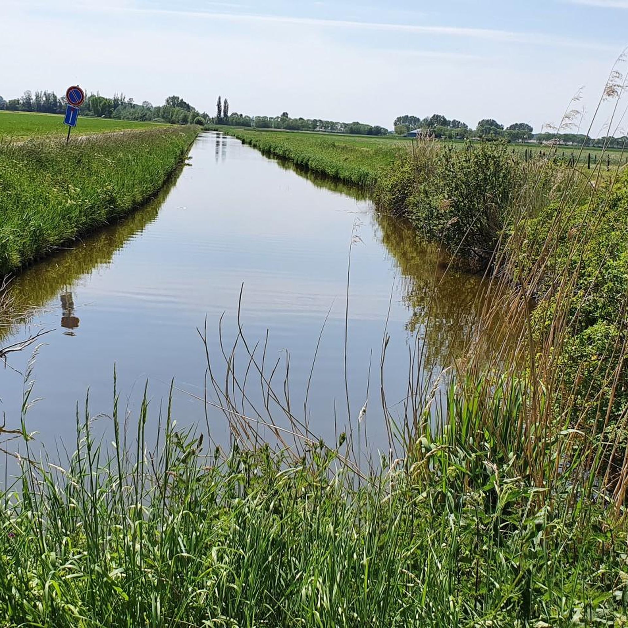
Creek contains brackish water. A creek where the eel feels at home.
翻訳者 Google •
役立つ情報 は
無料でサインアップして、さらに多くの自然記念物を発見しましょう テルノイゼンでの。
すでにアカウントをお持ちですか?



コミュニティからのヒント

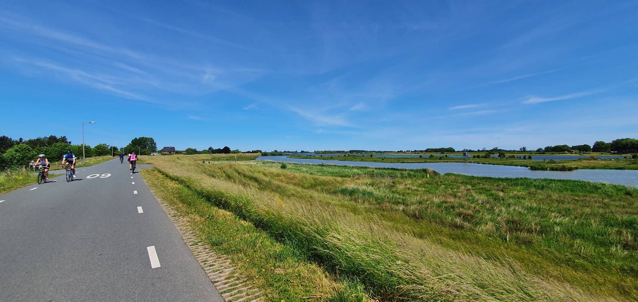
2007年に、新しい自然保護区および営巣地がここに創設されました。これは、ウェステルスヘルデの浚渫による自然喪失の埋め合わせとして機能します。
0
0

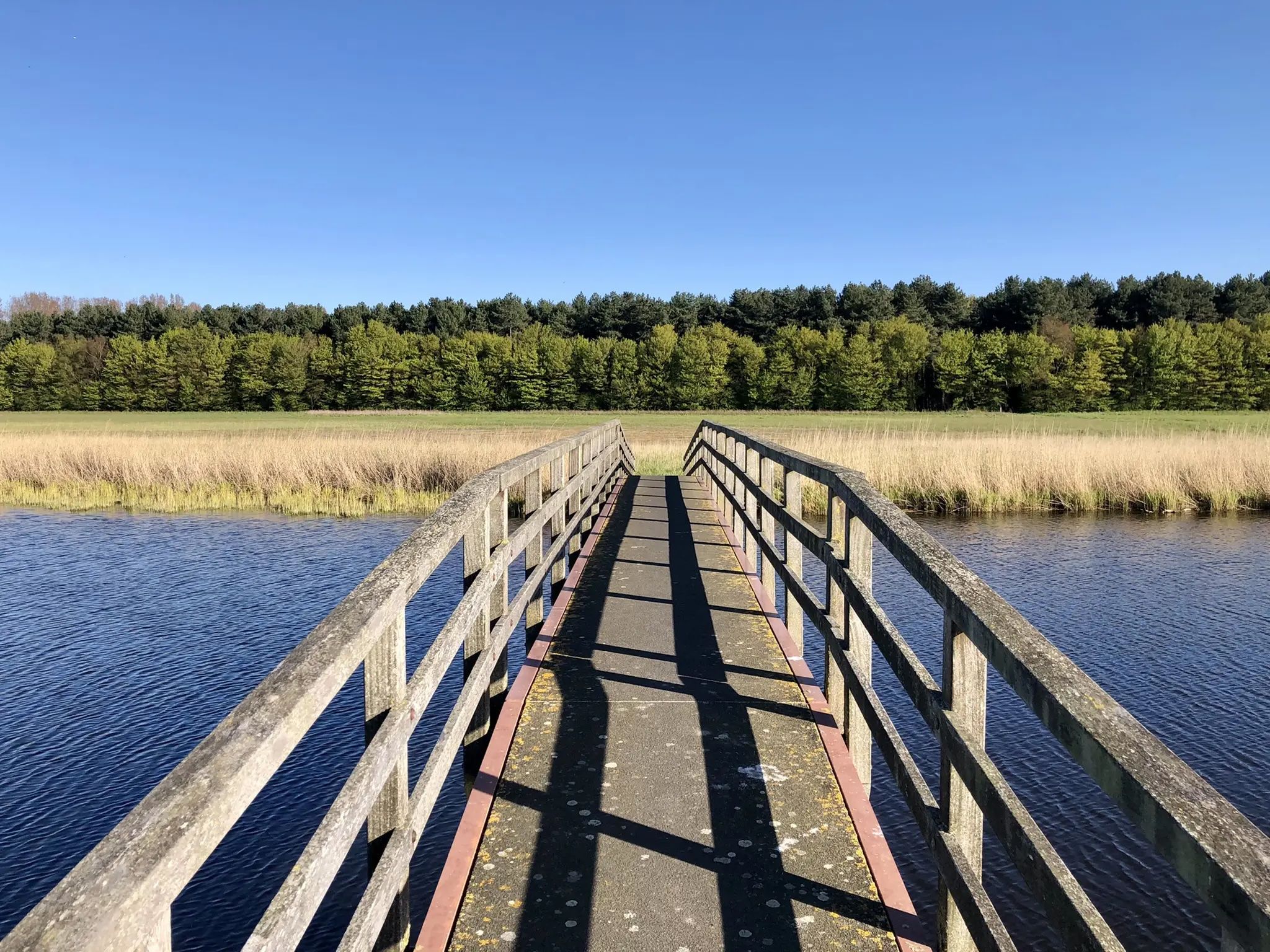
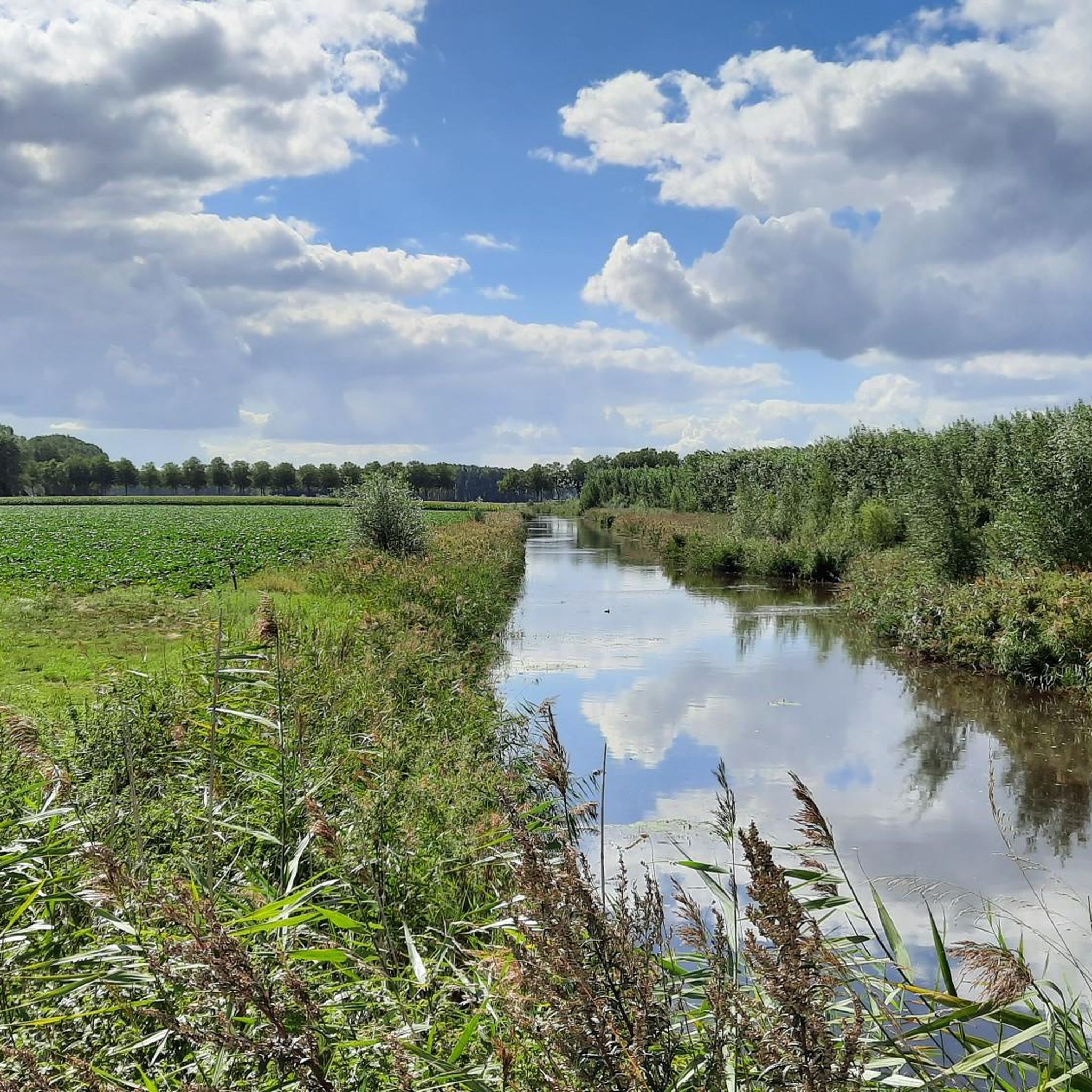
Saleghemのクリーク地帯は、その部分の合計以上のものです。この自然保護区は、片側にGrote Saleghemgeul、もう片側にSint-JakobsgatとKieldrechtse Watergangで構成されています。この3つの水クリークの三位一体は、キルドレスのGrote Geuleに流れ込んでいます。 それぞれ単独でも美しいです、はい。しかし、一緒にいると魔法のようです。緩やかに傾斜した岸辺、草地と干し草、珍しい鳥や色とりどりの花、さわさわと音を立てる葦、そして物憂げな柳の連続:それは人を黙らせます。自然の魔法への畏敬の念を抱かせます。そして誰もがそれを楽しむことができます – 車椅子利用者でさえ、クリーク湖の周りには特別な車椅子散歩道があります。 waasland.beはこう書いています…そしてそれに反論する余地はありません。
2
0

美しい鳥の生息地。多くの種類の水鳥とシギ科の鳥。
0
0

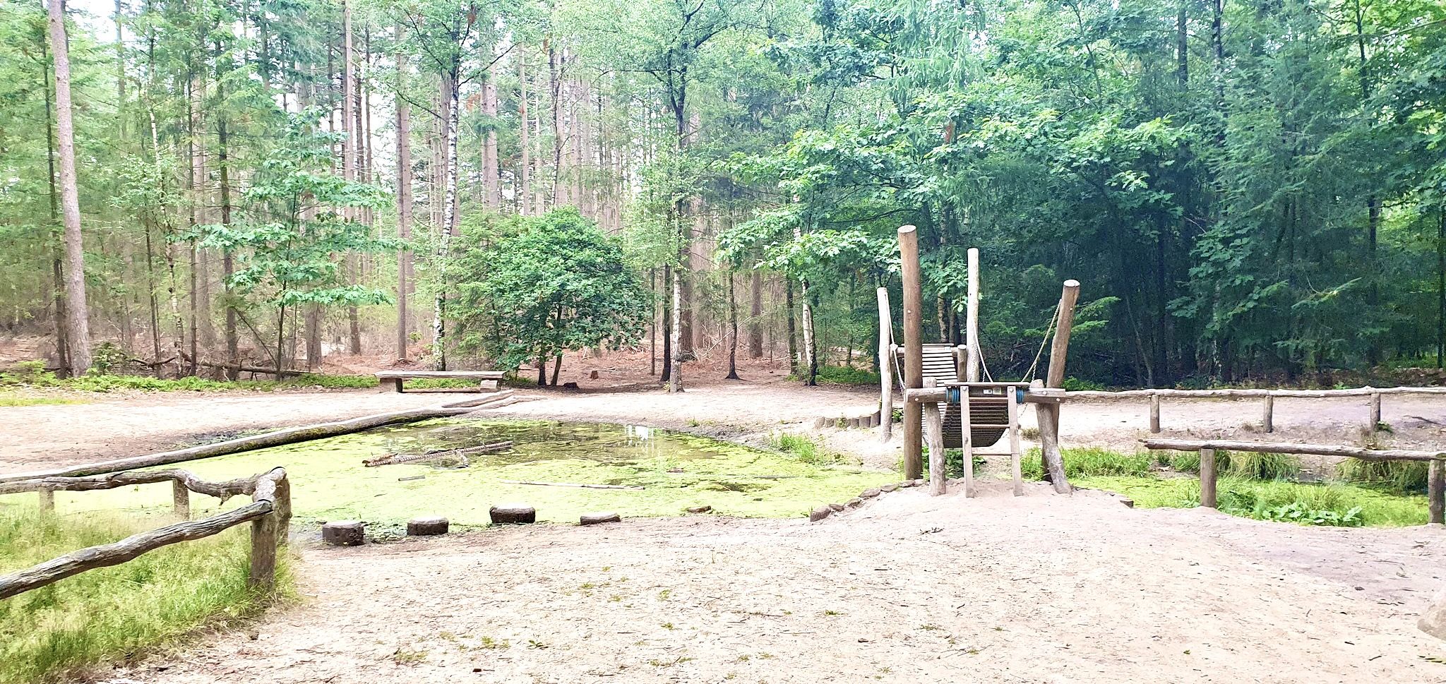
この高く盛り上がった砂利道では、フォート・シント・ヤコブ(Fort Sint-Jacob)の近くにある、過去と自然の特別な一端を発見できます。 この歴史的な要塞は、印象的なスタッツ・スパニェ・リニェス(Staats-Spaanse Linies)の一部であり、フォート・シント・ヨセフ(Fort Sint-Joseph)とフォート・シント・リヴィヌス(Fort Sint-Livinus)の間に戦略的に位置し、フルスト(Hulst)とサス・ファン・ヘント(Sas van Gent)を結ぶ連絡線の構成要素でした。この場所では、1634年に後方を侵略から守るために要塞が建設された八十年戦争の痕跡を今でも感じることができます。わずか数年後に要塞は他の勢力の手に渡り、この場所の物語をさらに興味深いものにしています。 かつてフォート・シント・ヤコブは、しっかりとした土塁と防御的な堀を備えた、コンパクトな四角形のレドゥート(要塞)でした。今日、これらの輪郭は風景の中にまだはっきりと見ることができ、訪問者は文字通り歴史の中を歩くことができます。 再建された中庭や新しい跳ね橋を含む慎重な修復のおかげで、要塞は再び息を吹き返しました。同時に、自然はここで自由に繁茂しました。この地域はスタッツボスベヒール(Staatsbosbeheer)によって管理されており、静かな自然保護区へと発展しました。 歴史に興味がある人も、ハイキングやサイクリングが好きな人も、あるいは単に喧騒から逃れたい人も、フォート・シント・ヤコブはあなたを訪れ、発見し、楽しむように誘っています。
6
0

single track that requires concentration
0
1

This creek connects to the Boerekreek to the west and to the Oudemanskreek to the east. It contains brackish water. The creek lies directly north of the Leopold Canal. Due to silting, the creek could no longer drain, which caused problems for agriculture. Therefore, around 2000, the drainage to the Leopold Canal on the east side was improved, the creek was also dredged, and the banks were reinstated to the nature reserve. (Wikipedia)
7
0

On the southern edge of Zuid-Beveland, near Baarland, a new nature reserve was created in 2007. This was done to compensate for the nature that is being lost due to the deepening of the Western Scheldt. The deepening increases the current and the nature outside the dike on the Western Scheldt is crumbling. The two most important goals in the creation of this area were to provide a high-water refuge for wading birds and a breeding area for coastal breeding birds. The area is used extensively by coastal breeding birds. Birds such as ringed plovers, ringed plovers and avocets are extensively searching for worms, crustaceans and cockles. In the spring of 2009, the nests were counted and it turned out that more than 110 pairs of avocets were breeding. The young are currently leaving the nest. Wherever you look, you can see this beautiful creature wading through the area. The ranger also counted a small colony of breeding black-headed gulls, a few Kentish plovers, a few little ringed plovers and three pairs of ringed plovers. You can take a look at this nursery. The area is right next to the Scheldeoord campsite in the south of Baarland. You can look out over the area from the Zeedijk. This area falls under Natura 2000
0
0
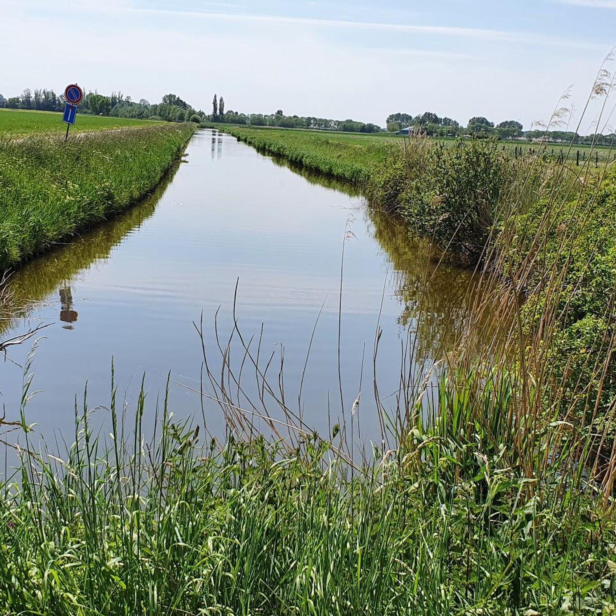
Creek, located next to the elevated roadway to Sint-Jan-in-Eremo. Creek contains brackish water. A creek where the eel feels at home.
8
0
テルノイゼンでのの人気観光スポット

komootモバイルアプリでインスピレーションを得よう


さらに探索
これらのガイドで、最高の洞窟を探す範囲を広げましょうテルノイゼンでの:
