セシンブラの天然記念物・トップ20
セシンブラが誇る美しい風景を見てみたいなら、セシンブラの素晴らしい天然記念物・トップ20
に行ってみましょう。あなたにぴったりの場所が見つかるよう、素晴らしい天然記念物を探索するために必要なすべての情報を集めました。次のアウトドアの冒険に出かける計画の参考にしましょう。
最終更新日: 9月 12, 2026
カボ・エスピシェルのノッサ・セニョーラの聖堂(サントゥアリオ)
ハイライト • 宗教的な場所
The church is incredibly beautiful inside. Unfortunately, photography is not allowed.
翻訳者 Google •
役立つ情報 は

カボ・エスピシェル岬
ハイライト • 展望台
There are many …
翻訳者 Google •
役立つ情報 は

今すぐサインアップして、こんな場所を発見しよう
最高のシングルトラック、ピーク、その他のエキサイティングなアウトドアスポットのおすすめを受け取ろう。
リベイロ・ド・カヴァロのビーチ
ハイライト • ビーチ
役立つ情報 は

ピコ・ド・フォルモシーニョ
ハイライト • 山頂
A very tough climb, an even tougher descent... Not accessible to everyone...
翻訳者 Google •
役立つ情報 は
ラパ・デ・サンタ・マルガリーダの洞窟と礼拝堂
ハイライト • 洞窟
役立つ情報 は

無料でサインアップして、さらに多くの自然記念物を発見しましょう セシンブラでの。
すでにアカウントをお持ちですか?

コミュニティからのヒント

Built in the 18th century, it is an eye-catcher with its baroque architecture and the typical blue and white tiles in which some icons were also kept.
2
0

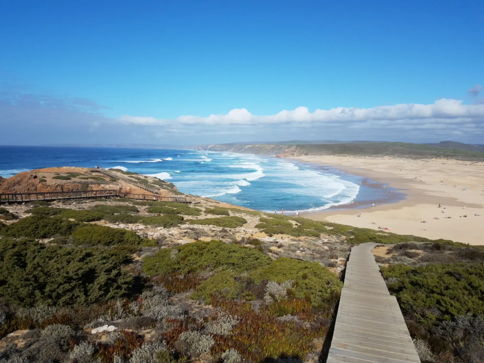
An excellent beach, although lacking in infrastructure and difficult to access, it's a super pleasant place, ideal for relaxing and recharging. Nearby, I also visited Mijona Beach and Hell Beach, which offer more challenging access but always boast immense natural beauty. I recommend it for those who don't have mobility issues and appreciate nature. 👍🥾🦯
1
0

Don't miss the opportunity to sign the summit book. The summit book is located in the small plastic container with the green lid, covered with a stone.
2
0

As it is a wild beach and difficult to access, there is no support equipment of any kind or lifeguards. Don't forget to bring water and food, and on the way back make sure to take all your rubbish with you (there are bins near the car park, at the start of the trail)! If you prefer to stay in the shade, you will need to bring a parasol. Also note that the name of the beach is Praia do Ribeiro do Cavalo and not Praia da Ribeira do Cavalo, as it is often called.
4
0
The chapel was probably built in the 17th or perhaps 18th century, as a place of Christian worship that, most likely, succeeded other previous cults, namely those related to water or even initiation rites linked to the idea of the rebirth of the soul.
4
0
Lapa de Santa Margarida is a natural grout at the base of Arrábida Mountain, where a small altar was erected. The access is done by a narrow path, with over 200 steps, until the sea level. Inside there is a Christian altar with some images and candles. The image of Saint Margaret was initially in this chapel, thus having given her name to this place.
4
0
No one had ever heard of this wild beach until recently, when social media, bloggers, and travel websites began showing photos of its stunning scenery. It wasn’t even marked on any map, and only a few locals knew that there was a trail leading down to one of Portugal’s most beautiful beaches. They kept it a well-guarded secret, but it’s now quite popular, including with tourists.
4
0
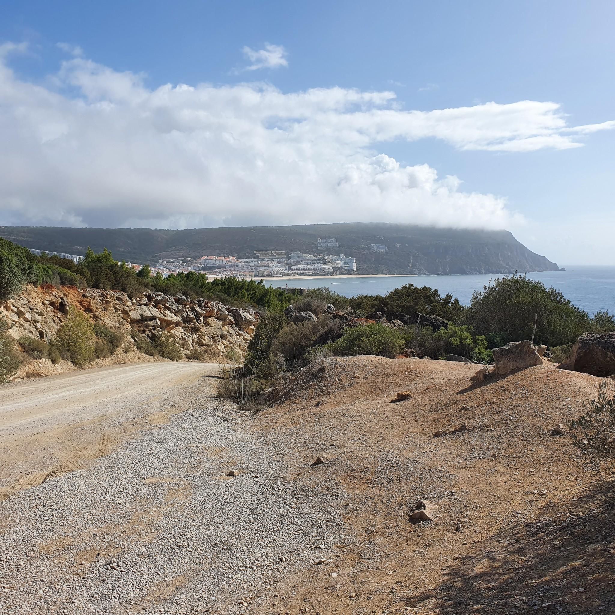
This linear route runs along the northern and southern slopes of the Serra da Arrábida up to Portinho da Arrábida, passing through the highest point of the mountain range, Alto do Formosinho, marked with a geodesic marker at 501 metres. This route, which is of the highest level of difficulty, is the closest to mountaineering conditions, due to the steep incline and the characteristics of the terrain. It is one of the most charismatic routes in the region, due to its connection to the first settlements of Arrábida (Castelo dos Mouros rock formation) and the ancient pilgrimage candles of devotion to Our Lady of Arrábida, which are still maintained, due to the challenge of reaching the peak, through dense vegetation, areas of gravel and rock climbing, and also through the endless landscapes that connect the Sado estuary to the Tagus and the border between Finisterra and the ocean.
3
0
セシンブラでのの人気観光スポット

komootモバイルアプリでインスピレーションを得よう


さらに探索
これらのガイドで、最高の洞窟を探す範囲を広げましょうセシンブラでの:
