クーフランの天然記念物・トップ20
クーフランが誇る美しい風景を見てみたいなら、クーフランの素晴らしい天然記念物・トップ20
に行ってみましょう。あなたにぴったりの場所が見つかるよう、素晴らしい天然記念物を探索するために必要なすべての情報を集めました。次のアウトドアの冒険に出かける計画の参考にしましょう。
最終更新日: 9月 11, 2026
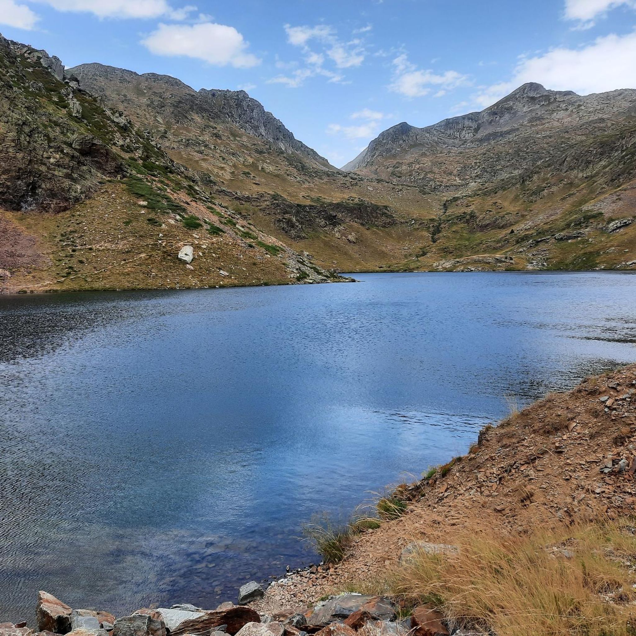
エスタニー・デ・ロメド・デ・ダルト
ハイライト • 湖
役立つ情報 は

Pont de Perosa
ハイライト • 橋
From this point there are 3 itineraries that are indicated on the information panel that we will find next to the bridge.
翻訳者 Google •
役立つ情報 は

今すぐサインアップして、こんな場所を発見しよう
最高のシングルトラック、ピーク、その他のエキサイティングなアウトドアスポットのおすすめを受け取ろう。
Estany de Mascarida
ハイライト • 湖
翻訳者 Google •
役立つ情報 は
コル・ド・ラ・コール
ハイライト • 山道
翻訳者 Google •
役立つ情報 は


無料アカウントで今日から始めよう
次の冒険が待っています。



コミュニティからのヒント

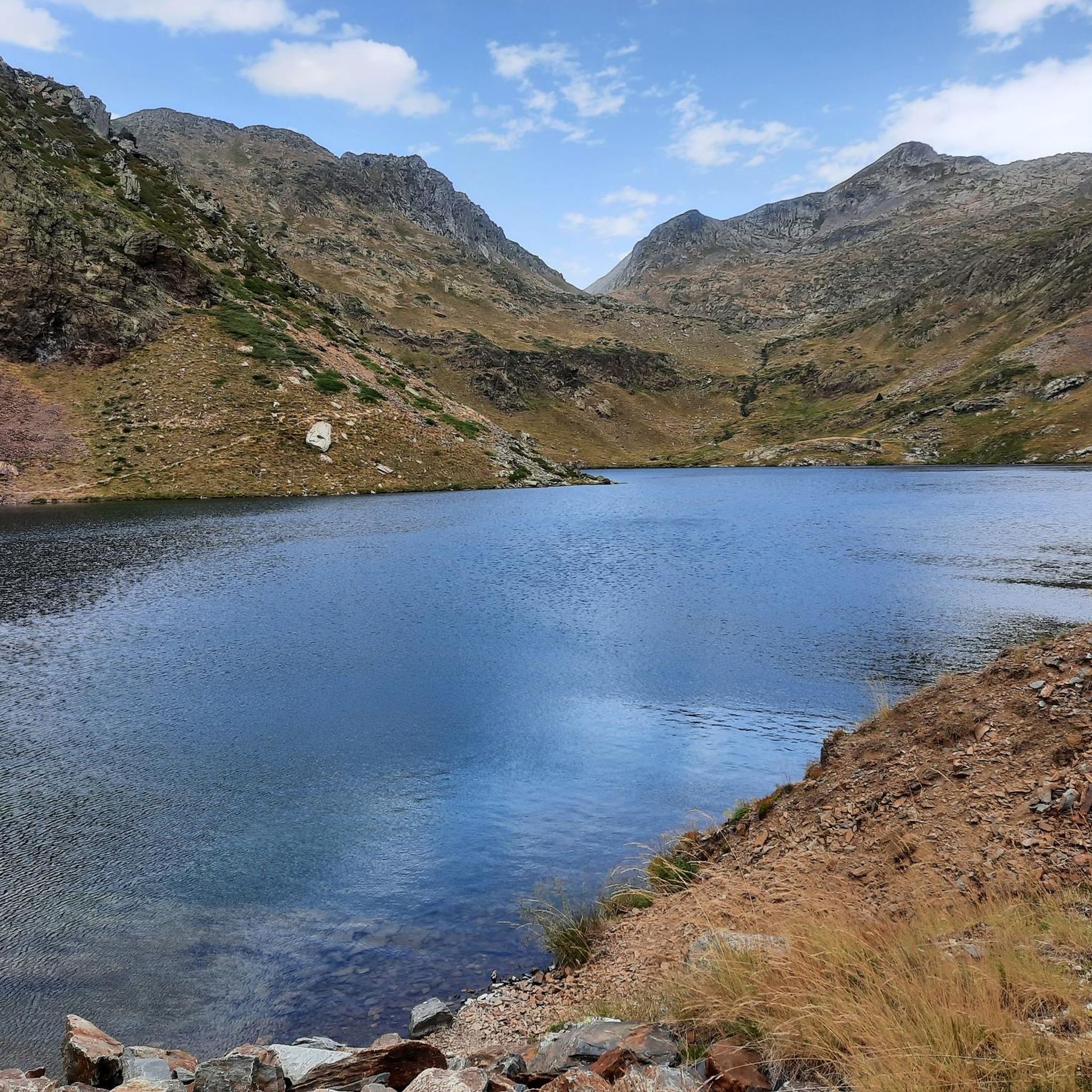
A large mountain lake near the Refugi de Certascan hut. Today it looks like an estuary in Norway.
1
0

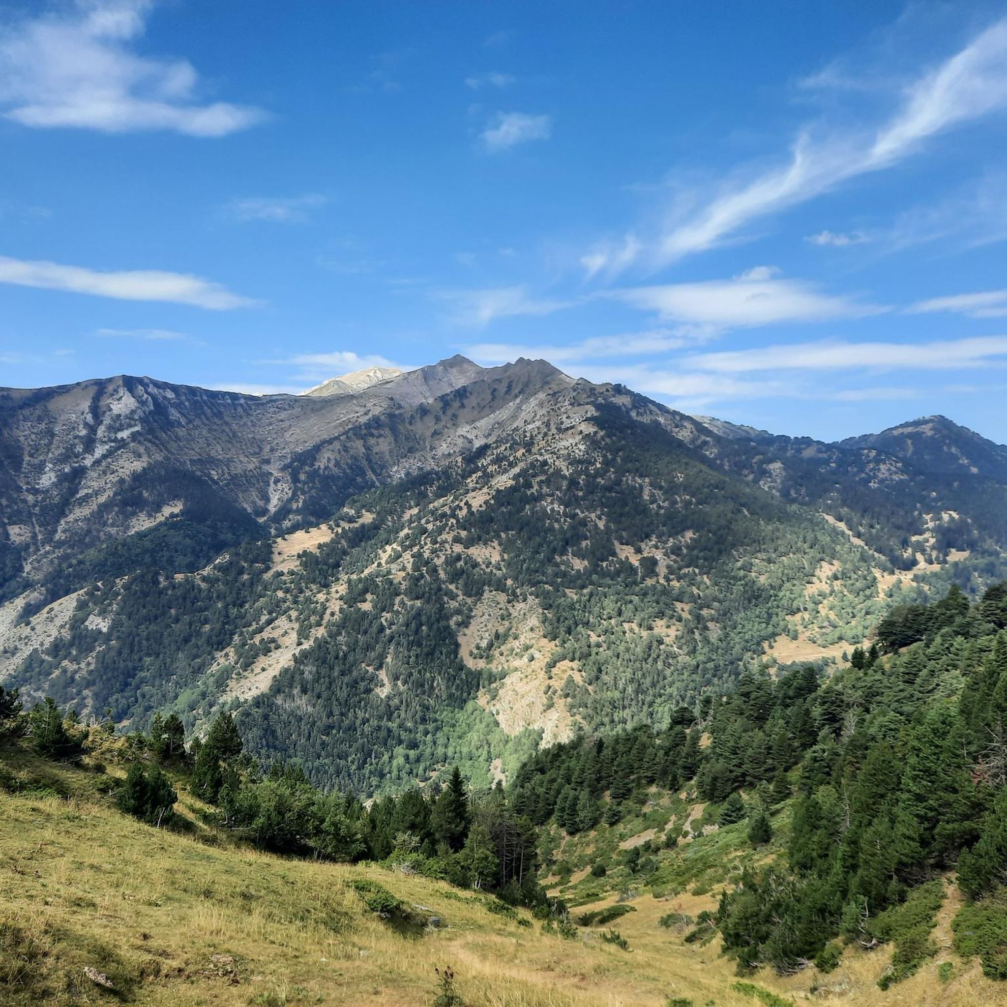
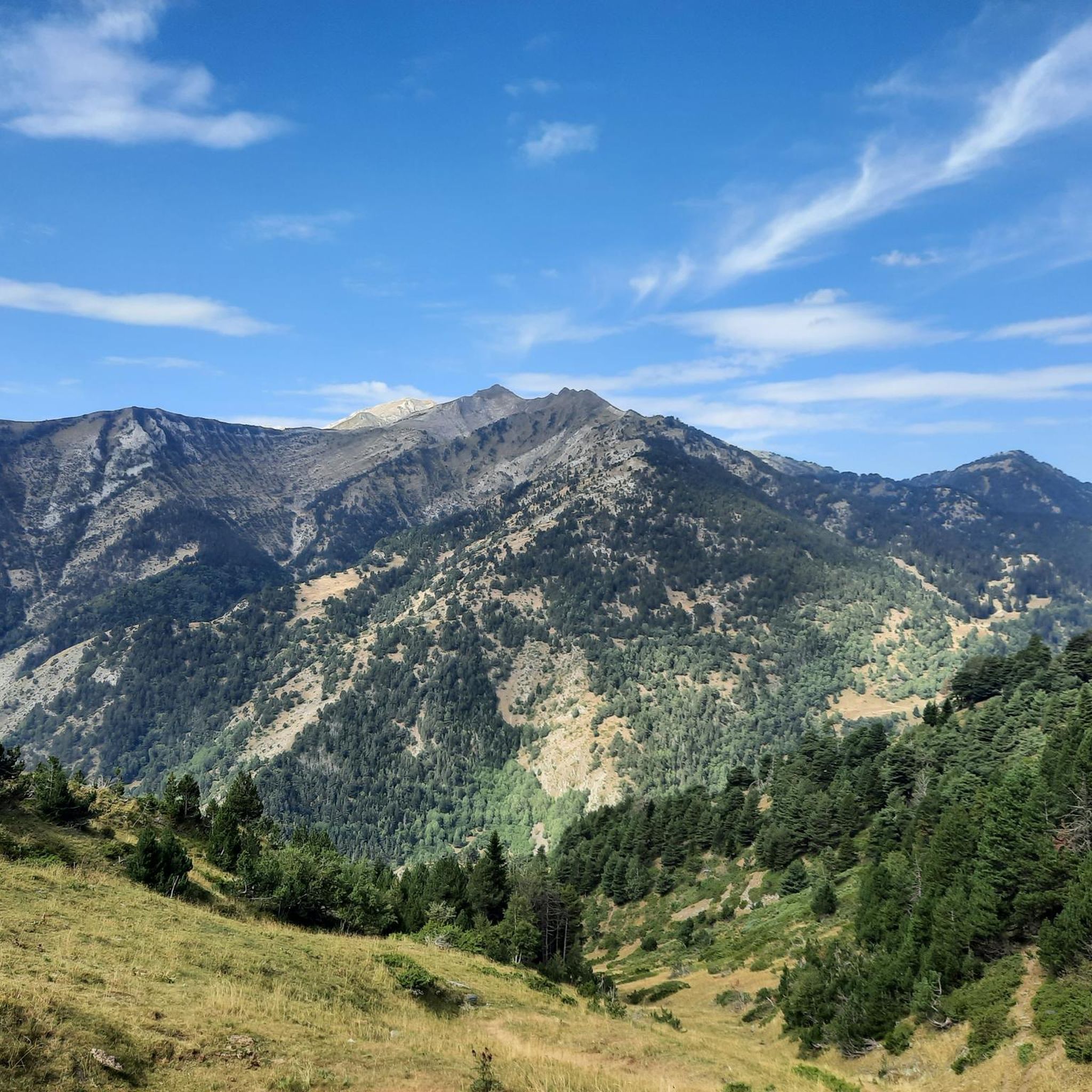
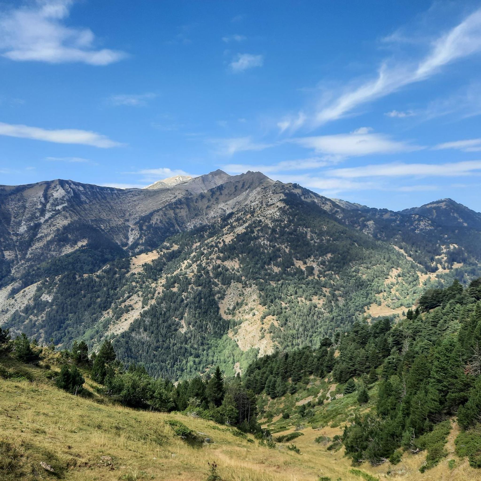
An emblematic pass in the Couserans, popular with cycle tourists and hikers, it offers a superb panorama of the mountains and valleys.
1
0


One of the most beautiful lakes in the Pyrenees, it is difficult to get to, but it is worth it.
1
0

The Perosa bridge gives us an incredible view of the Alto Pyrenees natural park once we cross the La Noguera river. You won't forget that easily.
0
0

The Certascán lake is the largest glacial lake in the Catalan Pyrenees and rivals the Tort lake for being the largest in the whole mountain range. The final section of the climb is quite comfortable because it is well trodden by all the mountaineers who climb to the magnificent Pyrenean lake. At the entrance to the glacial cirque there is a small lagoon surrounded by cliffs and rocky outcrops and then there is the Certascan Refuge, practically on the shore of the lake. The path continues along the Coll de Certascan towards other places and mountain valleys at the foot of beautiful peaks, such as the Certascan peak (2,853 m), an interesting option for lovers of peaks. The return is along the same path until the detour of the path that descends from the Llurri gap. At this crossroads, continue straight ahead, going slightly uphill, and leave a path that goes down to the right towards the Canalada dam and the forest track that goes up from Montalto. The trail jumps over a small shoulder on the slope of the mountain range and begins a long descent towards the Vall de Cardós. The path is marked with the white and red signs of the long-distance path that connects the GR-11 of the Senda Pirenaica with the French paths GR-10 and Alta Ruta Pirenaica or Haute Randonée Pyrénéenne (HRP).
1
0
The path goes through a beautiful horsetail of singing waters and goes up to the outlet of the Romedo de Baix pond, which is raised with a stone wall to increase the capacity of the reservoir. Admirers of glacial modeling in high mountains can take advantage of and visit the cirques of the Guiló ponds. The route crosses the dam and follows the access lane for about two hundred metres, until a sharp curve where there is a small hut and markings for the mountain routes. The mountain crossing leaves the track and continues straight ahead along the shore of the lake, which offers a spectacular view on this slope. The trail has red and green paint dots and red and white chevrons. On a small rocky outcrop there is a rope for a channel to facilitate climbing. On the opposite side, the rope has disappeared, only the pegs remain, but it is lowered without complications. The path is well marked with the colors of the paths through an impeccable glacial valley to the shore of the Romedo de Dalt pond, completely natural, without artificial dams and a beautiful island decorating the mountain lagoon. In the same glacial basin are the Senó, Colatx and Punturri ponds. The red and white marks go up to the left of the Romedo de Dalt pond to the gap in the Sierra de Llurri, a spectacular pass between the peaks of the mountains of the Alto Pirineo Natural Park. The trail looks for the right descent to go down between the dizzying spurs of Llurri and connect with the path that goes up to the Certascán pond.
0
0

The Col de la Core, at 1,395 meters above sea level, is part of both the pass route and the GR10 which cross the Pyrenees from the Atlantic to the Mediterranean.
1
0
クーフランでのの人気観光スポット

komootモバイルアプリでインスピレーションを得よう


さらに探索
これらのガイドで、最高の洞窟を探す範囲を広げましょうクーフランでの:
