コラヴィエールの天然記念物・トップ5
コラヴィエールが誇る美しい風景を見てみたいなら、コラヴィエールの素晴らしい天然記念物・トップ5
に行ってみましょう。あなたにぴったりの場所が見つかるよう、素晴らしい天然記念物を探索するために必要なすべての情報を集めました。次のアウトドアの冒険に出かける計画の参考にしましょう。
最終更新日: 10月 8, 2026
クロズリー峡谷
ハイライト • 峡谷
翻訳者 Google •
役立つ情報 は

ジェアールの滝
ハイライト • 滝
役立つ情報 は

今すぐサインアップして、こんな場所を発見しよう
最高のシングルトラック、ピーク、その他のエキサイティングなアウトドアスポットのおすすめを受け取ろう。
プランシェ=レ=ミーヌからコル・デュ・バロン・ド・セルヴァンス
ハイライト (セグメント) • 山道
翻訳を表示中
役立つ情報 は

ル・ティヨからバロン・ド・セルヴァンスへの登り
ハイライト (セグメント) • 登山
翻訳を表示中
役立つ情報 は

無料アカウントで今日から始めよう
次の冒険が待っています。
コミュニティからのヒント

It is a varied and relatively long climb of 13.5 kilometers with which you cover 663 meters of altitude. The average gradient is 4.9%, but this figure is very misleading. The climb actually consists of two completely different parts, interrupted by the Col des Croix
6
0
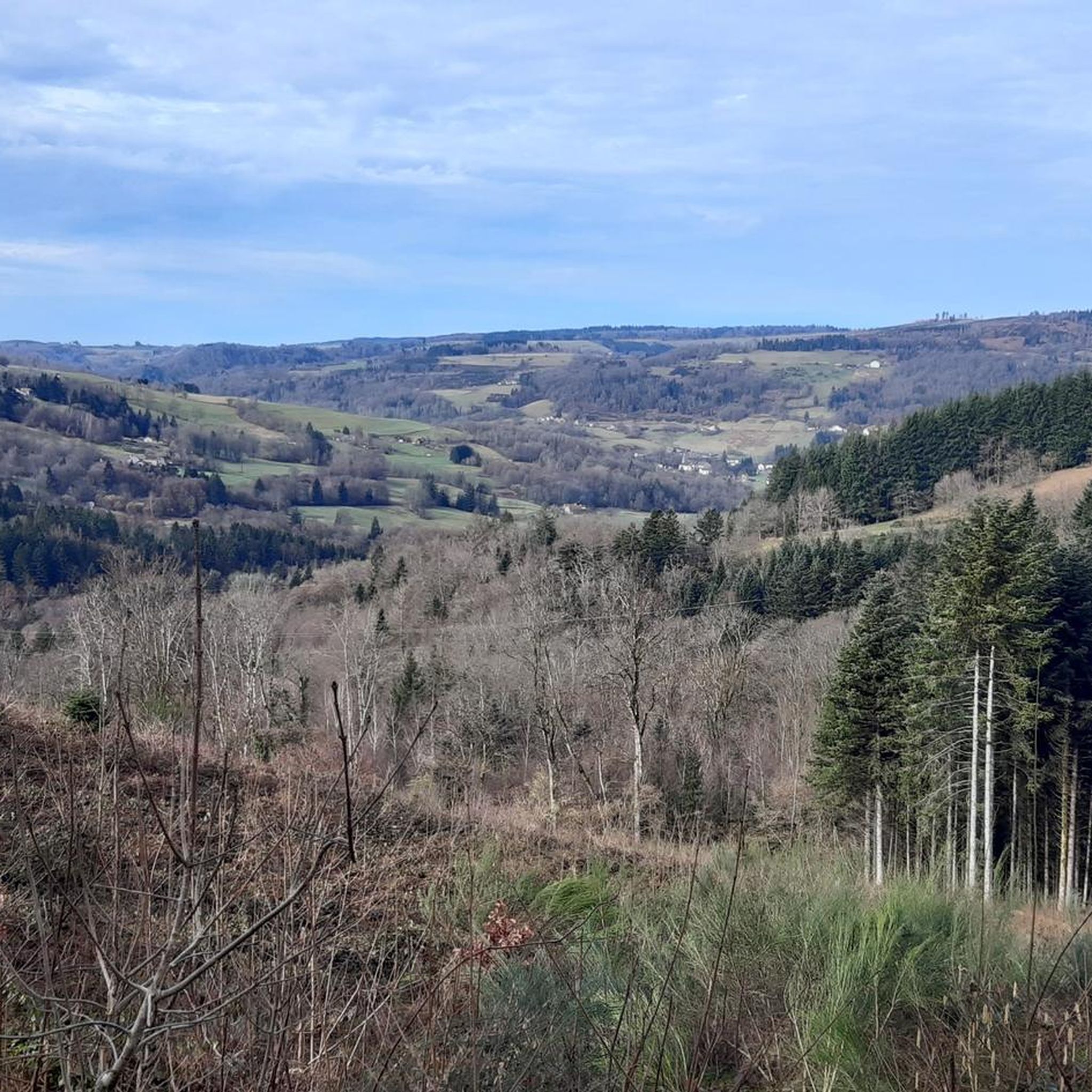
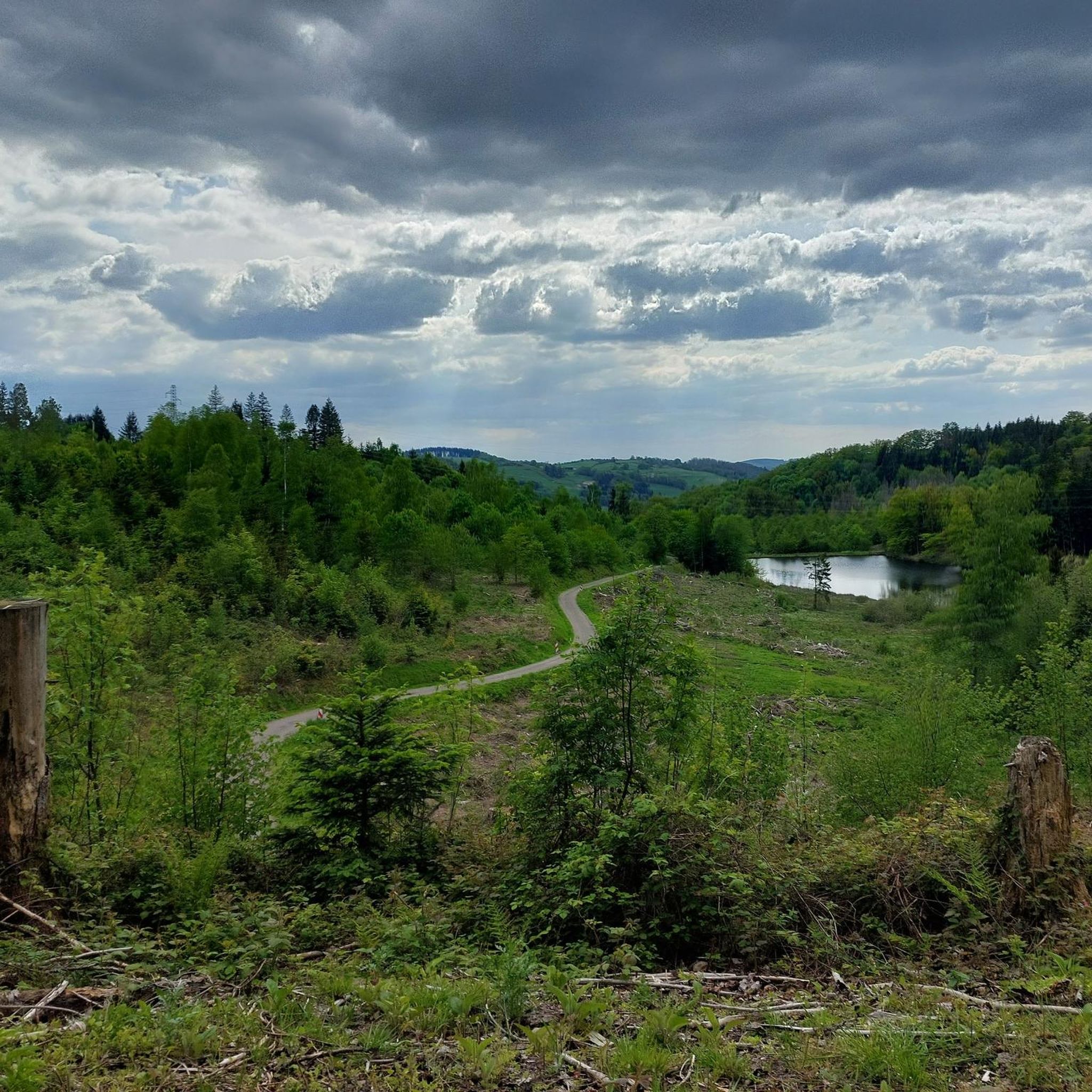
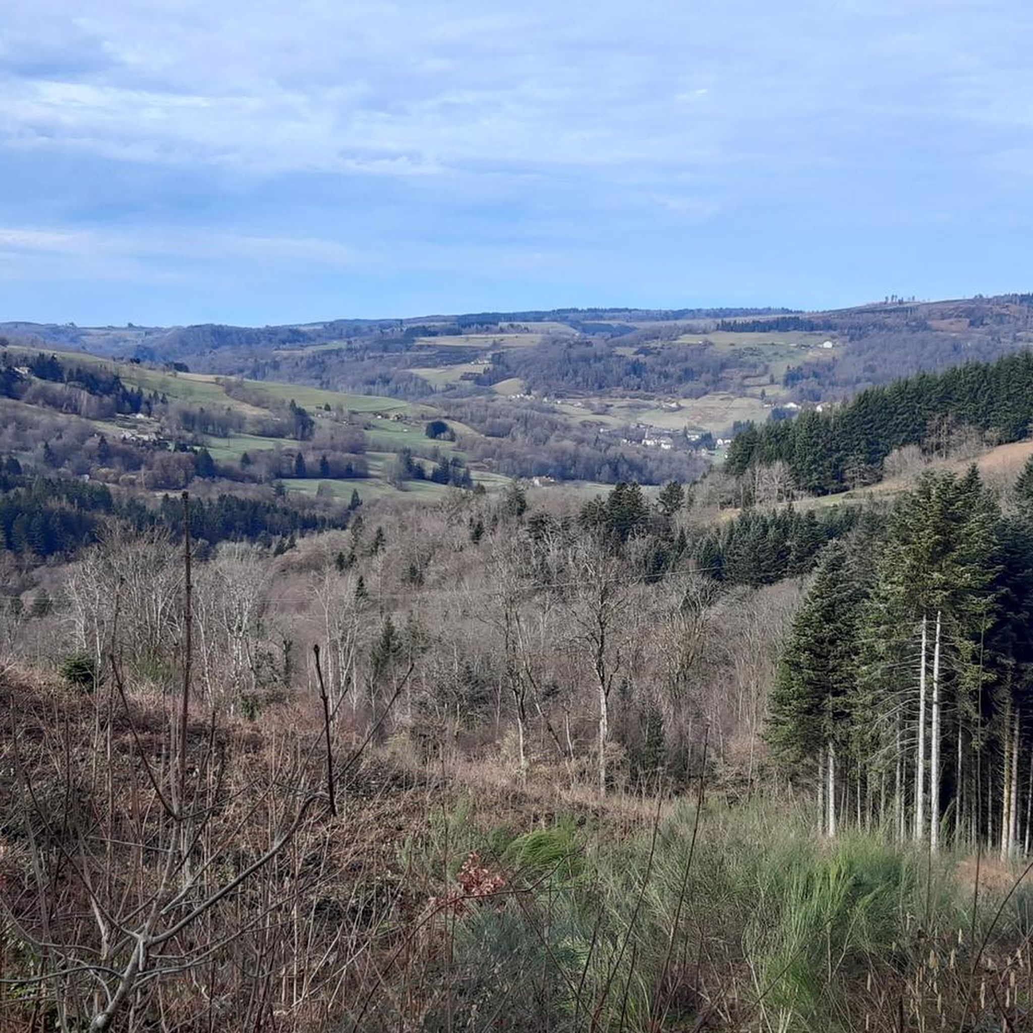
Plancher‑Basから、シュヴァイツァー・バルーン自然公園の奥深くにあるバルー・ド・セルヴァンスへの、長く静かな森の登りが始まります。18キロメートル以上にわたって約900メートル登りますが、本当の標高差は最後の数キロにあります。そこでは5%から12%の勾配が、鬱蒼とした日陰の森を抜けて、着実にあなたを押し上げます。道は狭く、静かで、完全に自然を感じられる — あなたが完全にリズムに乗れる登りです。頂上には、典型的な展望台はありませんが、軍事用地の近くにある開けた場所があります。質素で、静かで、だからこそセルヴァンスらしいのです。
8
0

ゲハルトの滝は、ヴォージュ山脈南部、ジルメン・ヴァル・ダジョル近郊の標高約500メートルに位置しています。ゲハルトはここでいくつかの段を流れ落ち、水によって侵食されたポットホールを通過します。滝の下には、絵のように美しい石造りのアーチ橋が小川を渡っています。この場所は、整備されたハイキングコースでアクセス可能で、ジルメン・ヴァル・ダジョル周辺のハイキングと組み合わせて楽しむことができます。
0
0

私たちはむしろ谷に残ることにしました
0
1

とても美しいルートです、行くべきです!
1
0

Easy access with nearby parking and a picnic table. There's an information panel. The waterfall itself isn't particularly impressive, but the site offers marked hiking trails along the stream (very pretty with its rocks forming small waterfalls), for example. Note that in wet and rainy weather, the surrounding area can be slippery (moss, grass, leaves, and rocks). So keep a close eye on children!
2
0

The route is not accessible! It's cordoned off with tape and prohibited.
1
0
The bridge is closed due to the risk of falling.
2
0
コラヴィエールでのの人気観光スポット

komootモバイルアプリでインスピレーションを得よう


さらに探索
これらのガイドで、最高の洞窟を探す範囲を広げましょうコラヴィエールでの:
