オジョルの天然記念物・トップ8
Aujols周辺の最高の自然記念物は、フランスのロット県にあり、カウス・デュ・ケルシー地域自然公園内に位置しています。この地域は、顕著な地質学的形成と景観の美しさを備えたカルスト地形を特徴としています。このエリアは、ドラマチックな川沿いの断崖からユニークな水によって形成された空洞、そして歴史的に統合された要素まで、自然の特徴が融合しています。訪問者は、自然の驚異と伝統的な田園遺産が豊かな多様な環境を探検することができます。
Aujols周辺の最高の自然記念物
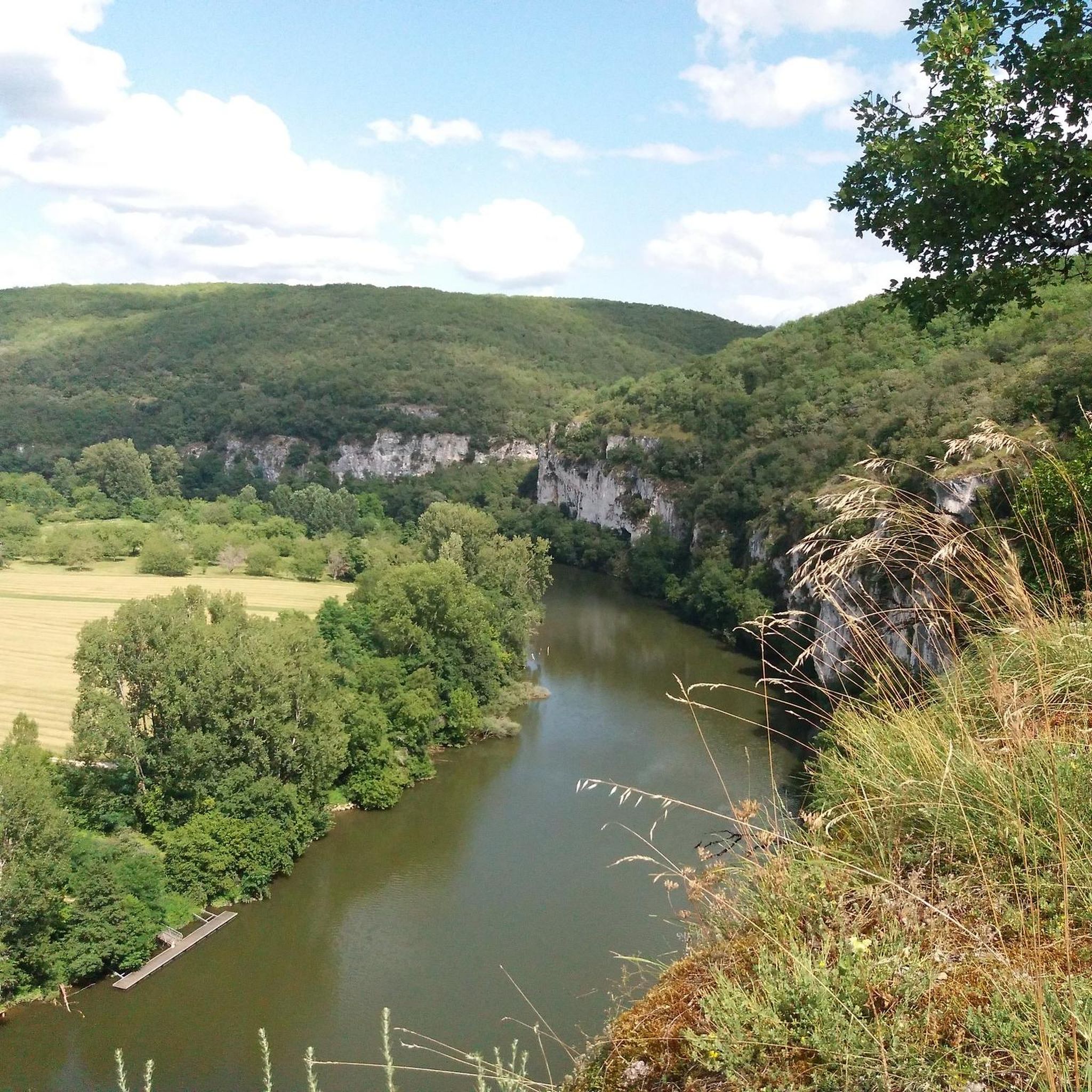
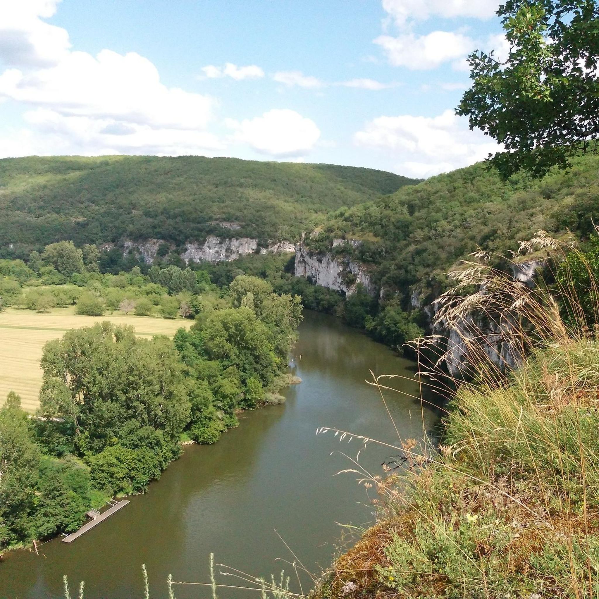
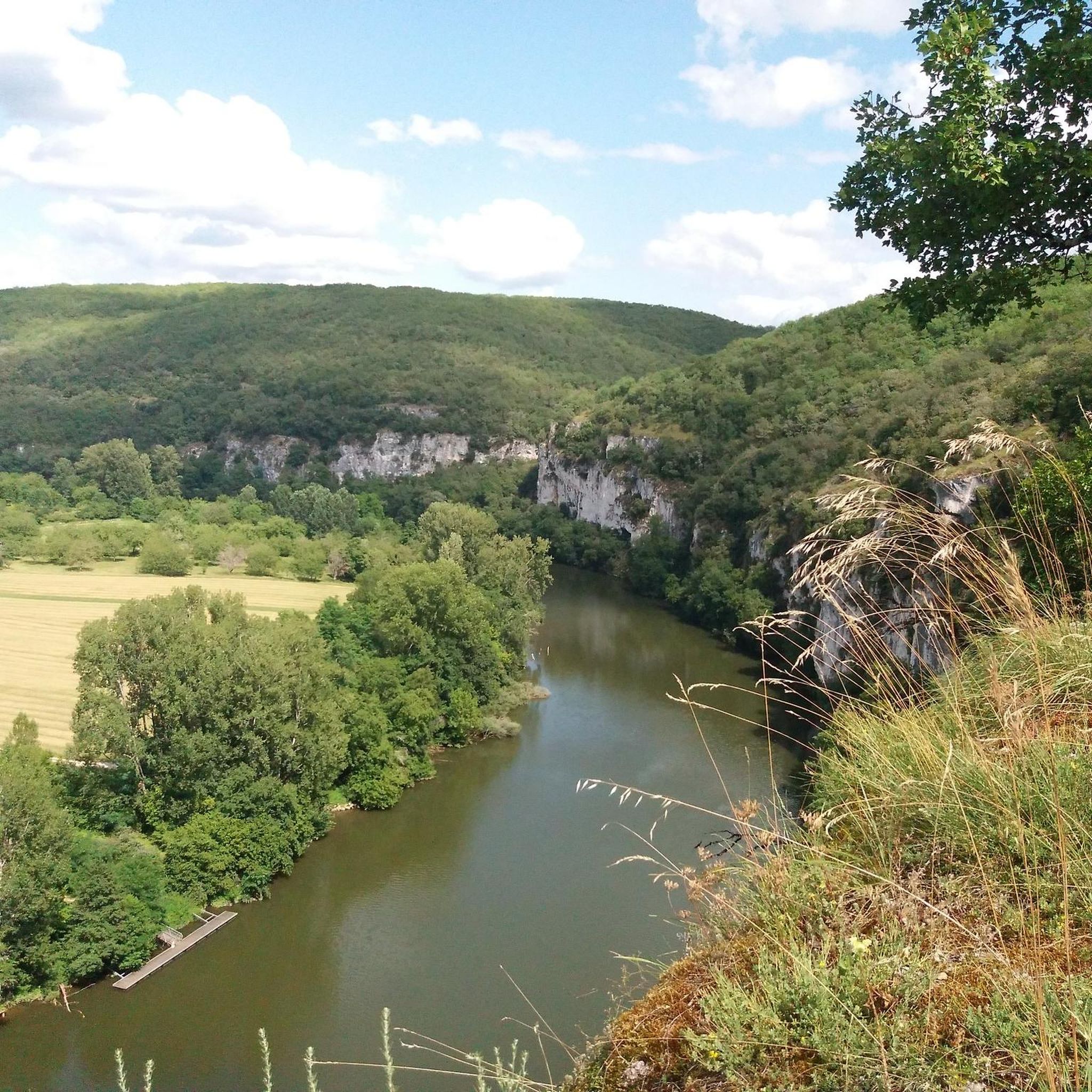
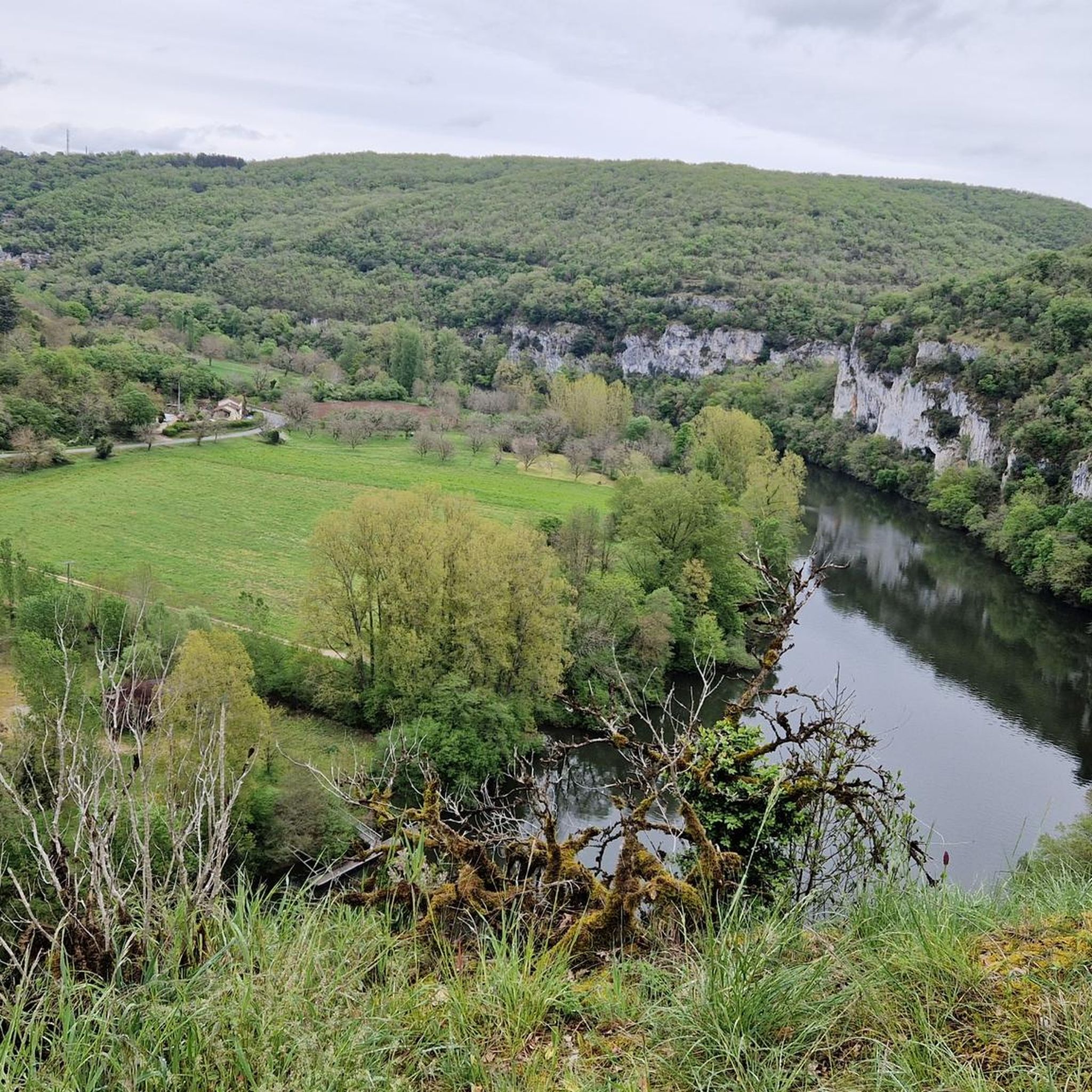
- 最も人気のある自然記念物は、ロット川沿いの断崖(Cliffs Along the Lot River)です。この渓谷は、ロット川を見下ろす牧歌的で雄大な景色を提供します。断崖が水面に映る様子は、視覚的な体験を生み出します。
- もう一つの必見スポットは、ロット川の高台の断崖に直接組み込まれた城であり自然記念物である、ブジエのイギリス城(The English Castle of Bouziès)です。この構造物は、人工物と自然の岩石形成との印象的な統合を示しています。
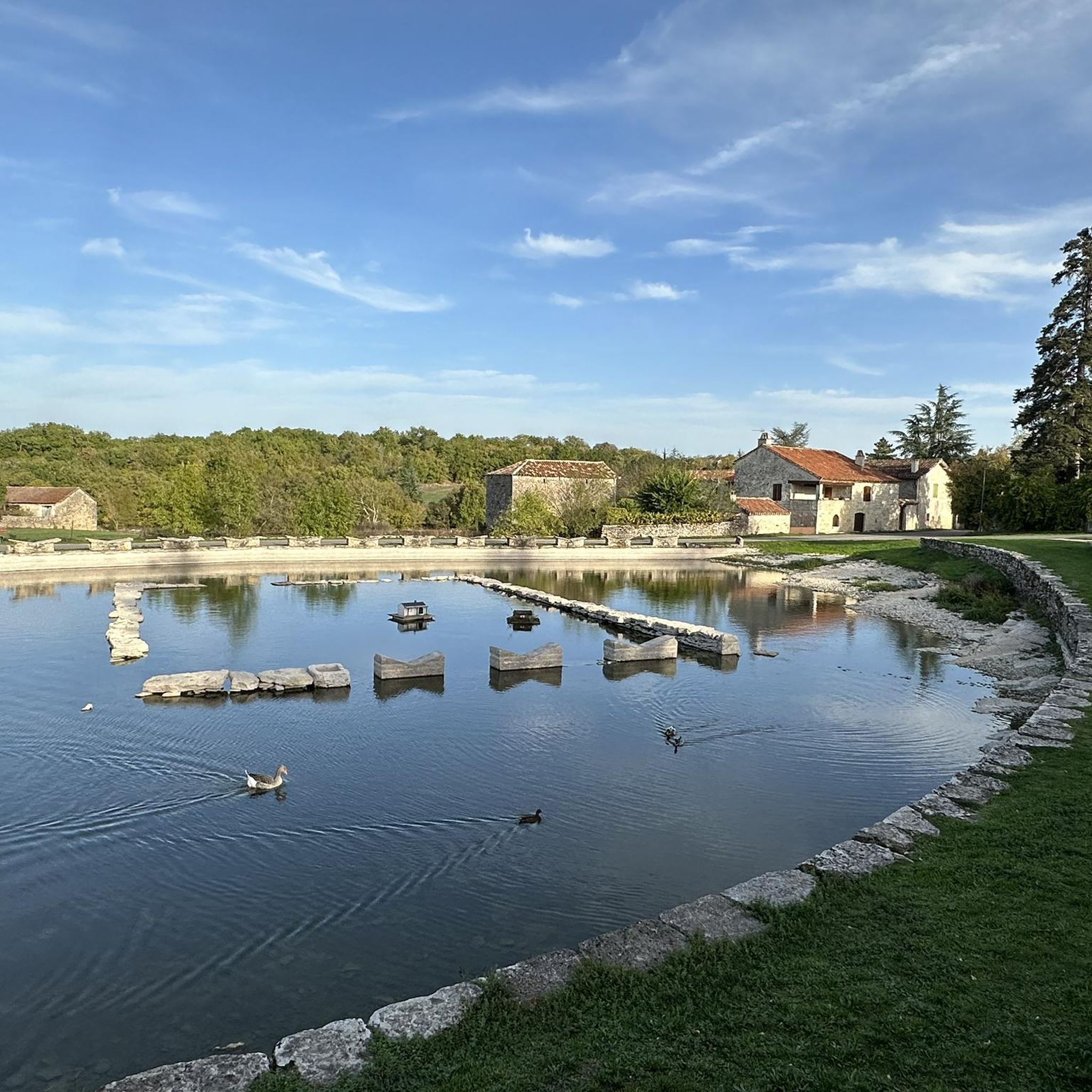
- 訪問者は、歴史的な自然の泉であるシャルトリューズの泉(The Chartreux Fountain)も気に入っています。この場所は、中世に製粉所によって使用され、後に町に飲料水を供給していた自然の水源と地域の歴史を融合させています。
- アジュolsは、そのカルスト地形、ドラマチックな川沿いの断崖、そして歴史的に統合された自然の特徴で知られています。この地域には、ユニークな地質学的サイトや景色の良い展望台を含む、さまざまな自然記念物があり、それらを見て探検することができます。
- アジュols周辺の自然記念物は、komootコミュニティによって高く評価されており、ハイライト全体で100件以上の「いいね」と39枚の写真が共有されています。
最終更新日: 8月 26, 2026
ブジエのシャトー・デ・アングレ
ハイライト • 城
翻訳者 Google •
役立つ情報 は

ロット川沿いの断崖
ハイライト • 峡谷
翻訳者 Google •
役立つ情報 は

今すぐサインアップして、こんな場所を発見しよう
最高のシングルトラック、ピーク、その他のエキサイティングなアウトドアスポットのおすすめを受け取ろう。
無料新規登録
ラ・フォンテーヌ・デ・シャルトルー
ハイライト • 自然記念物
翻訳者 Google •
役立つ情報 は

崖の下で…
ハイライト • トレイル
翻訳者 Google •
役立つ情報 は

無料アカウントで今日から始めよう
次の冒険が待っています。
ログインまたは登録

コミュニティからのヒント

In addition to everything that's been said, the road runs alongside magnificent cliffs, and you even pass under the rock several times – it's amazing!!
0
0

The path under the cliff is perhaps 500 meters long, and the surface isn't particularly bike-friendly. You also have to share the path with hikers. It's still a really beautiful path, though; the official bike path goes over the cliff, so you can save yourself some elevation gain.
0
0

One of the most popular photo motifs in the Lot Valley. It's incredible how this structure was built into the rock and is accessible!
3
0


beautiful ride along the Lot river
1
0

From the 1st century BC to the 1st century AD, the Fontaine des Chartreux was a center of worship of Divona, goddess of the waters in the Celtic tradition, as evidenced by the Roman coins found during archaeological explorations in 1989. In the Middle Ages, a mill used the waters of the spring: the spring was ceded to the Charterhouse of Cahors and was known thereafter by the name of this religious order. In the 19th century, some of the stones lining the pool were replaced by tombstones from the church of Notre Dame de la Daurade, destroyed in 1808. Since 1853, when the Cabazat pumping station (now Maison de l'Eau) was put into operation, this Vauclusian spring, whose depth of 137 meters acts as a real filtering system, supplies the town with drinking water. From 1926, electric pumps were installed in this building, right next to the Fontaine des Chartreux, and this is still the pumping station today. The water is pumped into reservoirs hollowed out of the cliffs and then through pipes laid under the
0
0

Superb passage - A little damp if the Lot is large ;0)
1
0

Here, the cliffs and the Lot play against each other. The reflections of the cliffs are simply magical!
2
0
オジョルでのの人気観光スポット

komootモバイルアプリでインスピレーションを得よう


さらに探索
これらのガイドで、最高の洞窟を探す範囲を広げましょうオジョルでの:
