エルカンピージョの天然記念物・トップ9
エルカンピージョが誇る美しい風景を見てみたいなら、エルカンピージョの素晴らしい天然記念物・トップ9
に行ってみましょう。あなたにぴったりの場所が見つかるよう、素晴らしい天然記念物を探索するために必要なすべての情報を集めました。次のアウトドアの冒険に出かける計画の参考にしましょう。
最終更新日: 8月 25, 2026
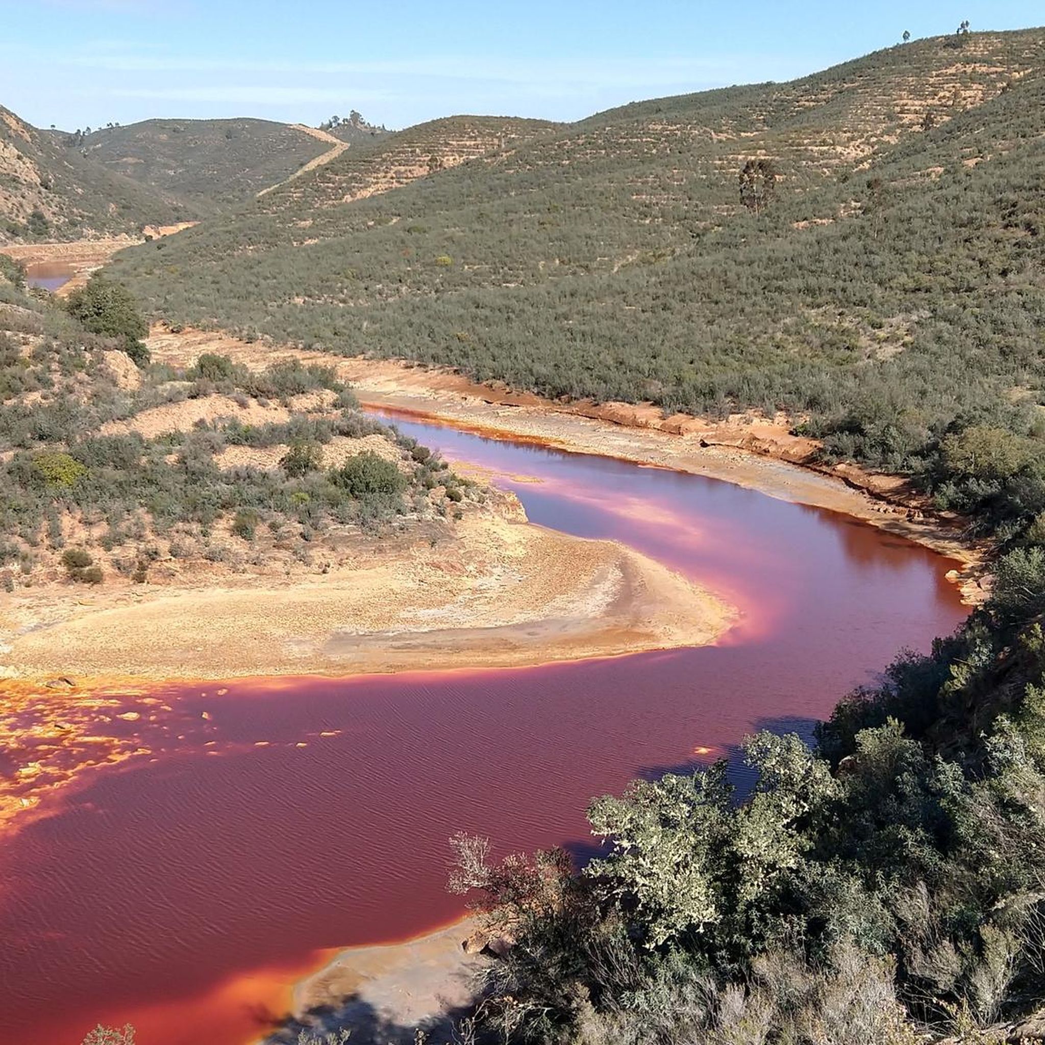
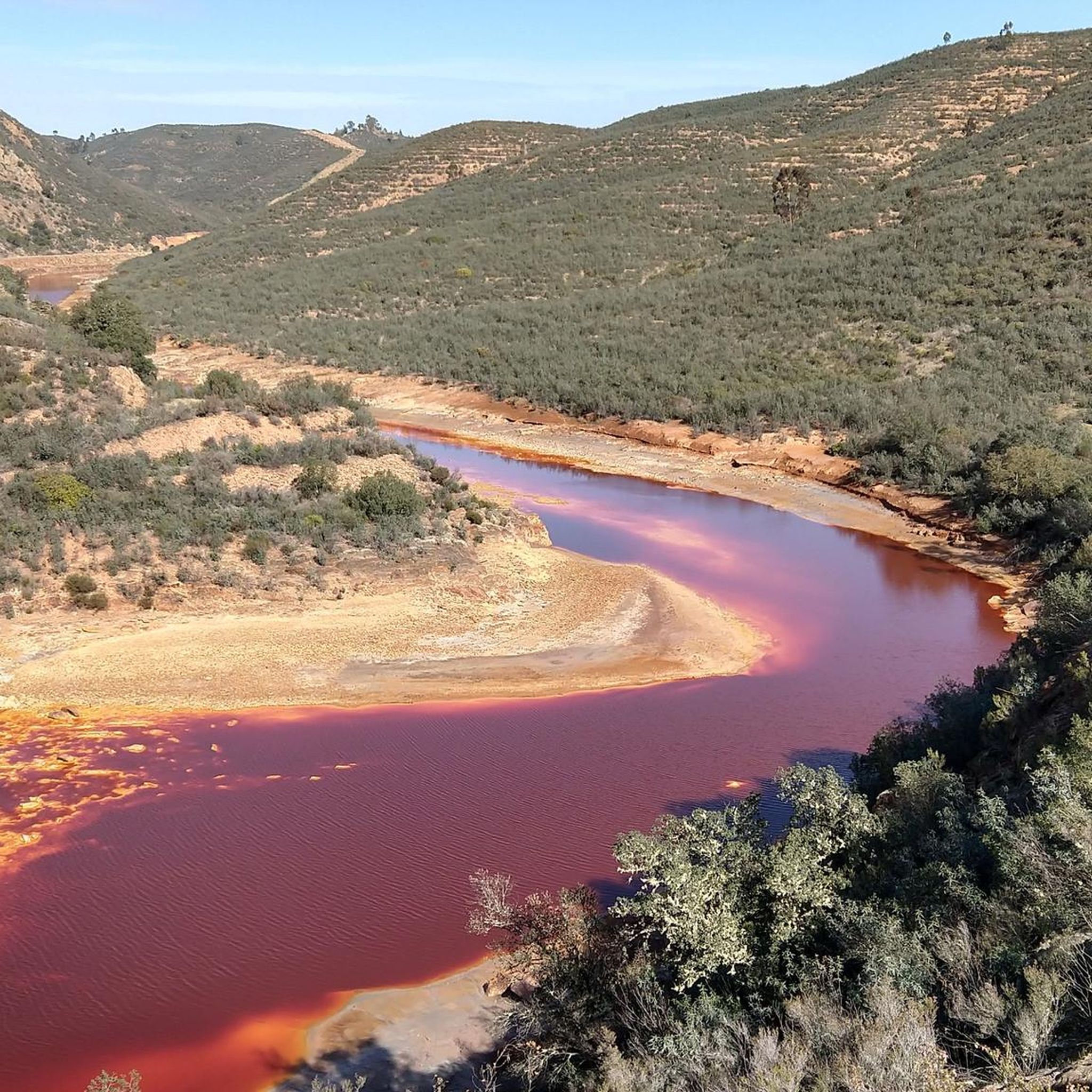
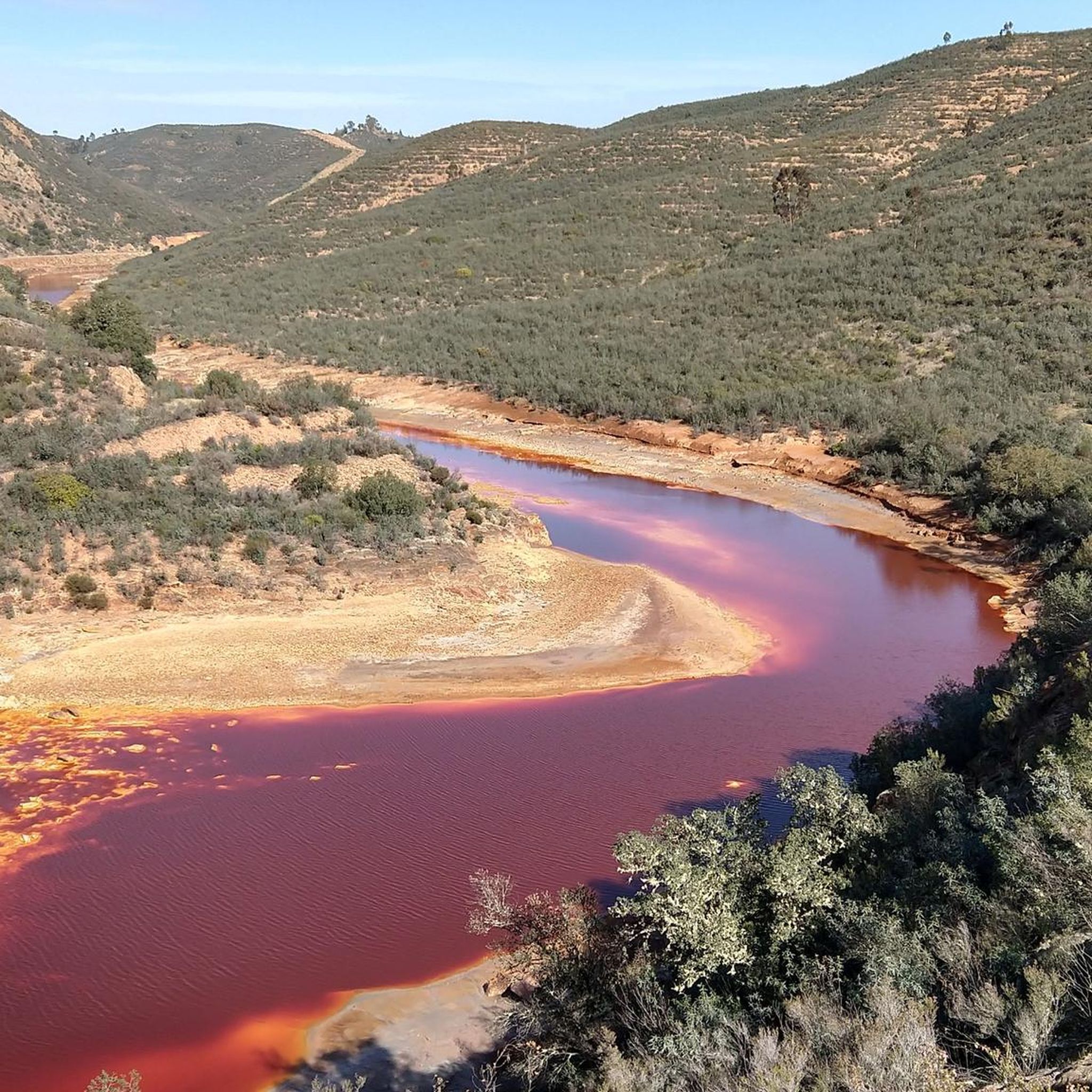
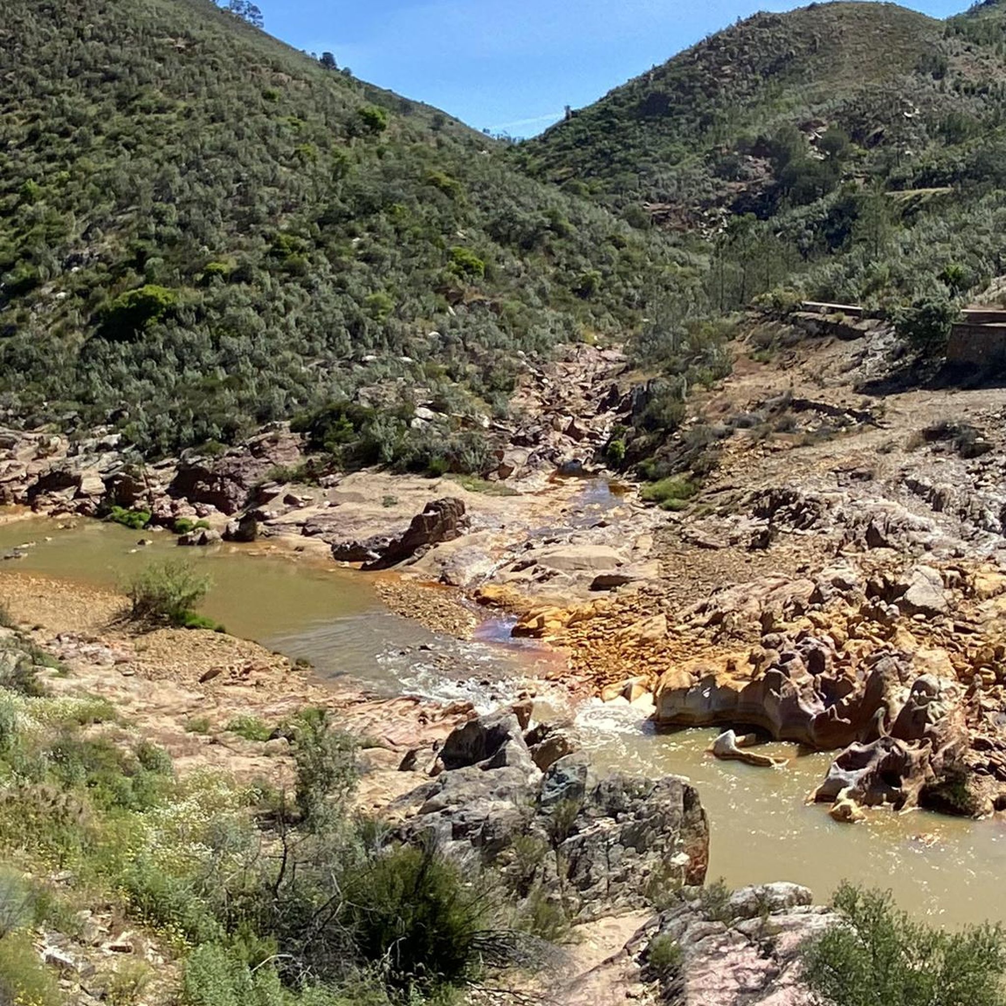
リオ・ティントの源流
ハイライト • 川
翻訳を表示中
役立つ情報 は

コルタ・アタラヤ鉱山
ハイライト • 構造物
翻訳者 Google •
役立つ情報 は
今すぐサインアップして、こんな場所を発見しよう
最高のシングルトラック、ピーク、その他のエキサイティングなアウトドアスポットのおすすめを受け取ろう。
無料新規登録
ペーニャ・デル・イエロ
ハイライト • 自然記念物
翻訳を表示中
役立つ情報 は
エル・ポスエロのドルメン
ハイライト • 歴史的な場所
翻訳者 Google •
役立つ情報 は

オディエルの水車の小径
ハイライト (セグメント) • トレイル
翻訳者 Google •
役立つ情報 は
無料でサインアップして、さらに多くの自然記念物を発見しましょう エルカンピージョでの。
無料新規登録
すでにアカウントをお持ちですか?
無料アカウントで今日から始めよう
次の冒険が待っています。
ログインまたは登録
コミュニティからのヒント

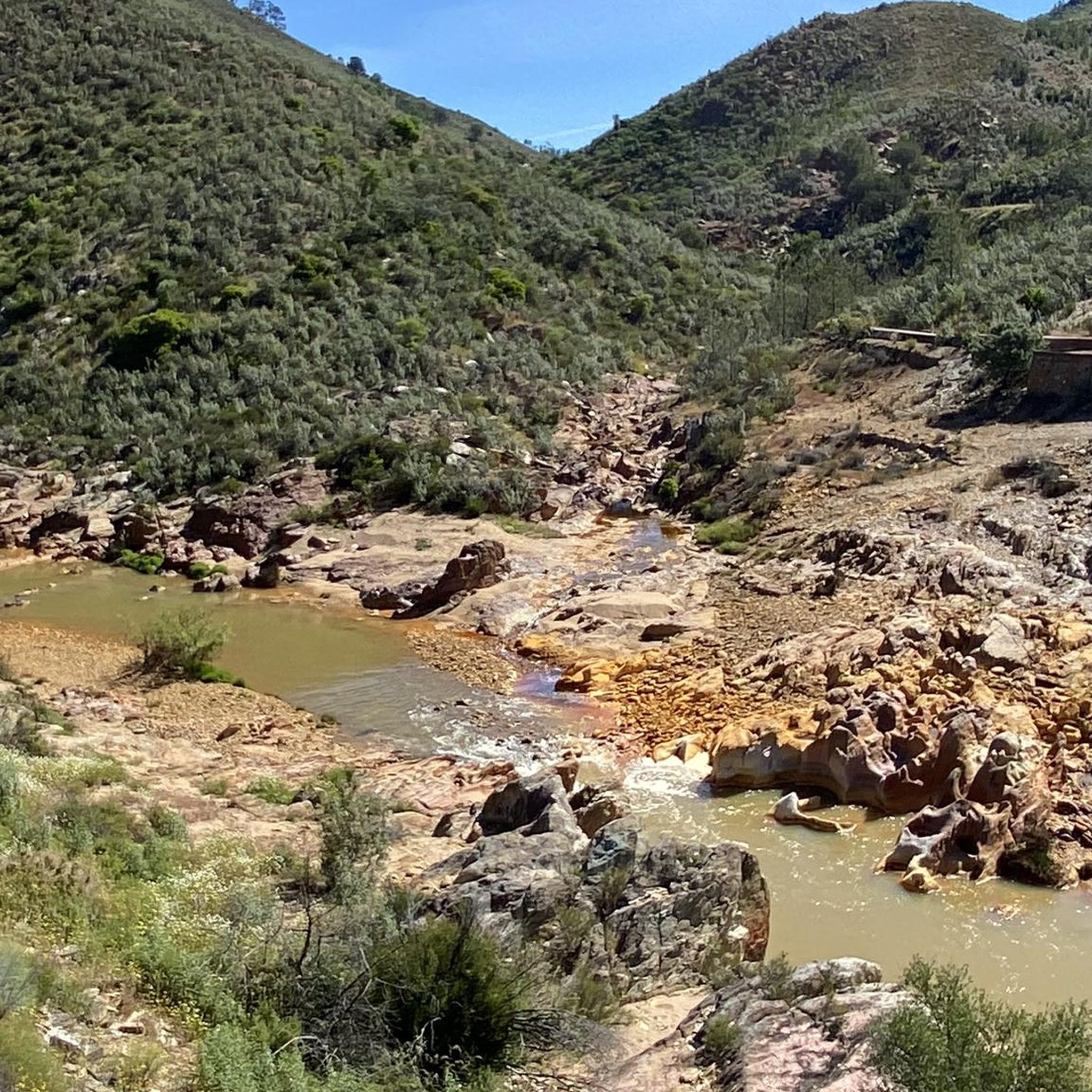
Part of the route runs alongside the river, and due to recent rains, the paths and trails have disappeared. There are sections where it's impossible to know where to walk, and some are even dangerous because of the dense vegetation washed down by the river.
1
0

The Peña del Hierro Viewpoint, located in Nerva (Huelva), is part of the Riotinto Mining Park and offers one of the most impressive views of the source of the Tinto River, as well as the mining crater of the old pyrite mine.
1
0
The source of the Tinto River is located in the municipality of Nerva, in the province of Huelva, Andalusia, and is one of the most unique landscapes in Europe due to its reddish color and its scientific and geological value.
1
0
The route offers a unique experience, combining the tranquility of the natural environment with the opportunity to explore the history of the region. Hikers can enjoy the lush vegetation, diverse fauna and picturesque landscapes along the way.
2
0

To get to the viewpoint, paid access is required. The hiking trail ends here at a fence. Nevertheless, a somewhat limited view of the opencast mine is possible
2
0
約3キロメートルの周回ルートが、自然記念物Montera de Gossanの周りを巡ります。美しい景色のため、お見逃しなく。
0
0

One of the most populated areas of archaeological sites in Zalamea La Real. This site was excavated in the middle of the 20th century and was dated between 3000 and 2500 BC. c.
3
0
Path along the banks of the Odiel river where you can discover part of the historical and natural heritage such as the old flour mills that used water as the driving force of the Odiel. We can also see arched bridges from the 19th century, most of them in ruins, and a long etcetera highly recommended.
2
0
エルカンピージョでのの人気観光スポット

komootモバイルアプリでインスピレーションを得よう


さらに探索
これらのガイドで、最高の洞窟を探す範囲を広げましょうエルカンピージョでの:
